| Full Image | Preview Image | Description | User |
|---|---|---|---|
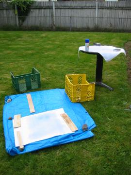
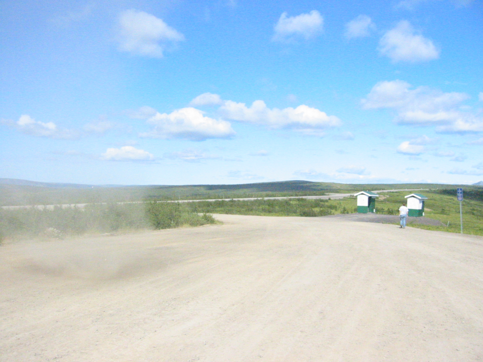
| 1179334544.JPG | 1179334544-pv.JPG | Water treating maps in the backyard | mrd |
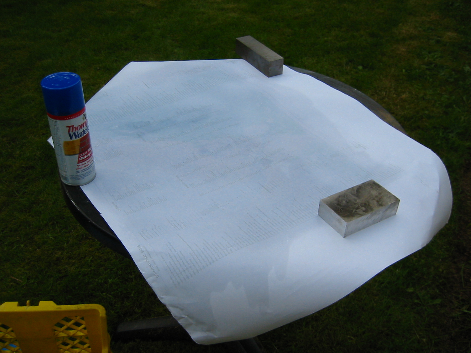
| 1179334570.JPG | 1179334570-pv.JPG | Water treating maps in the backyard | mrd |
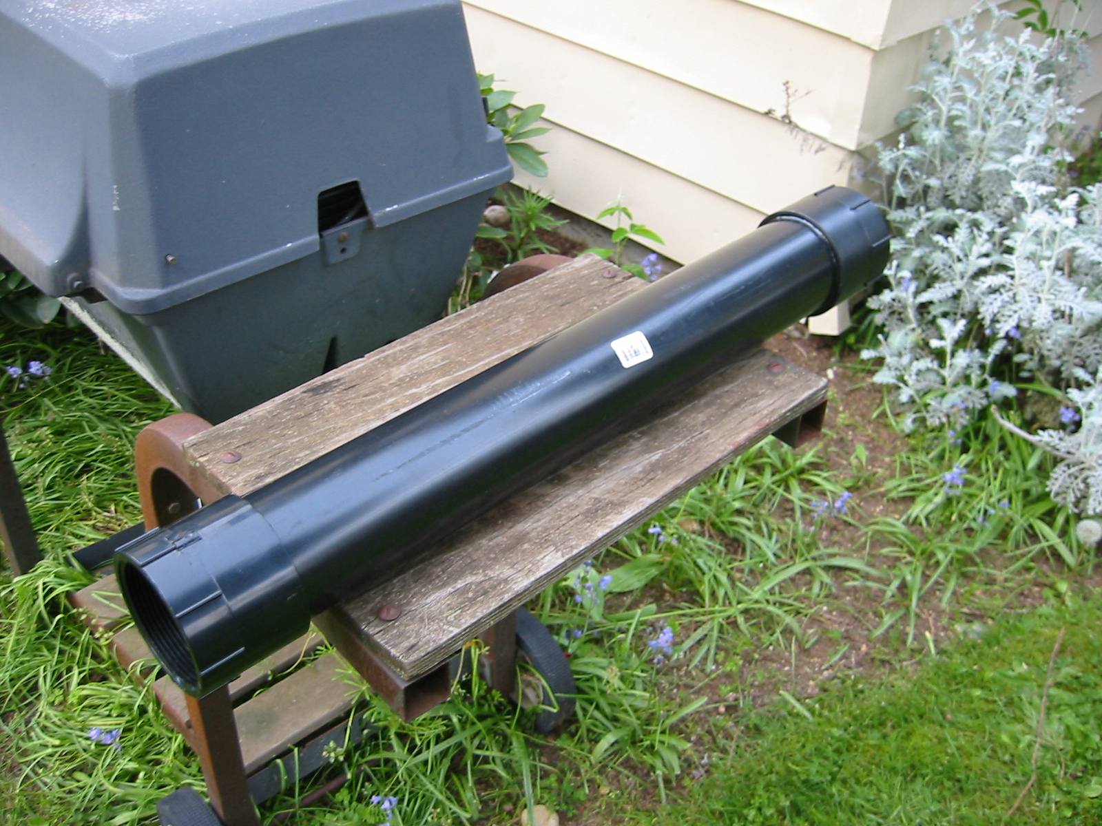
| 1179334625.JPG | 1179334625-pv.JPG | Homemade ABS map case | mrd |
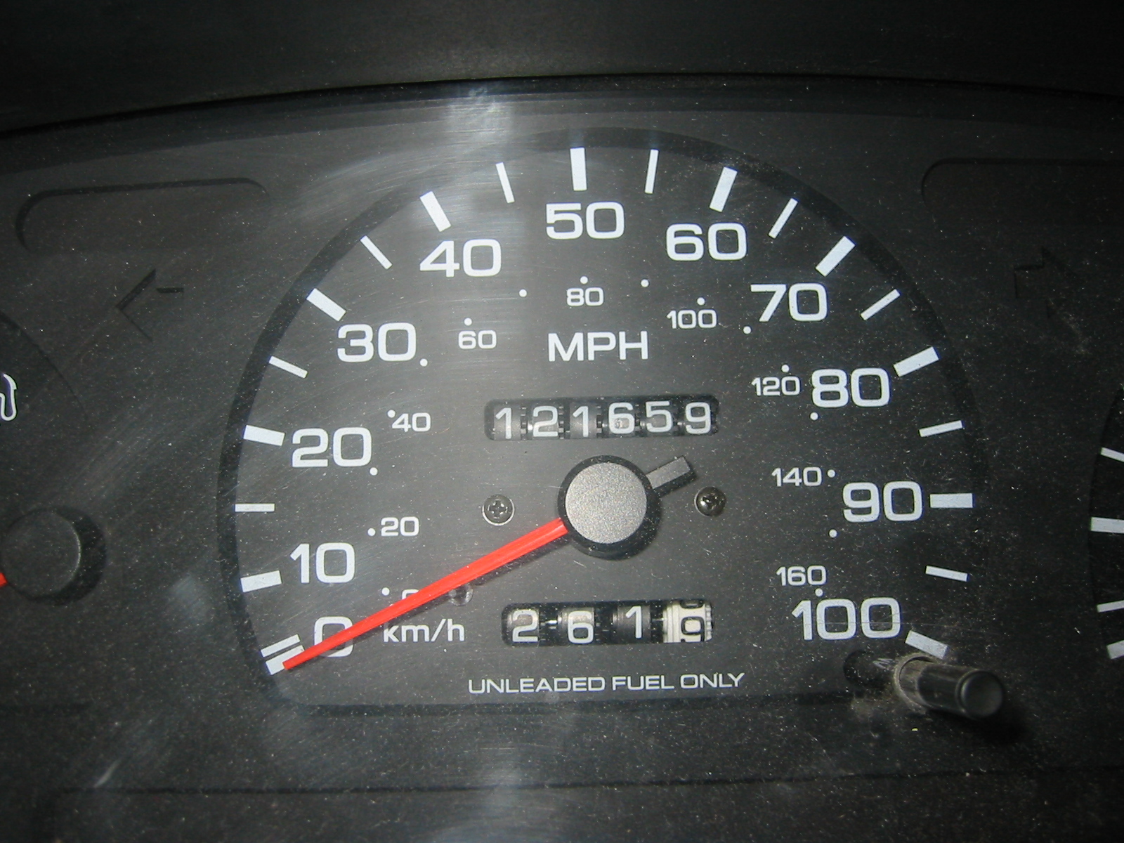
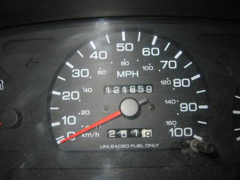
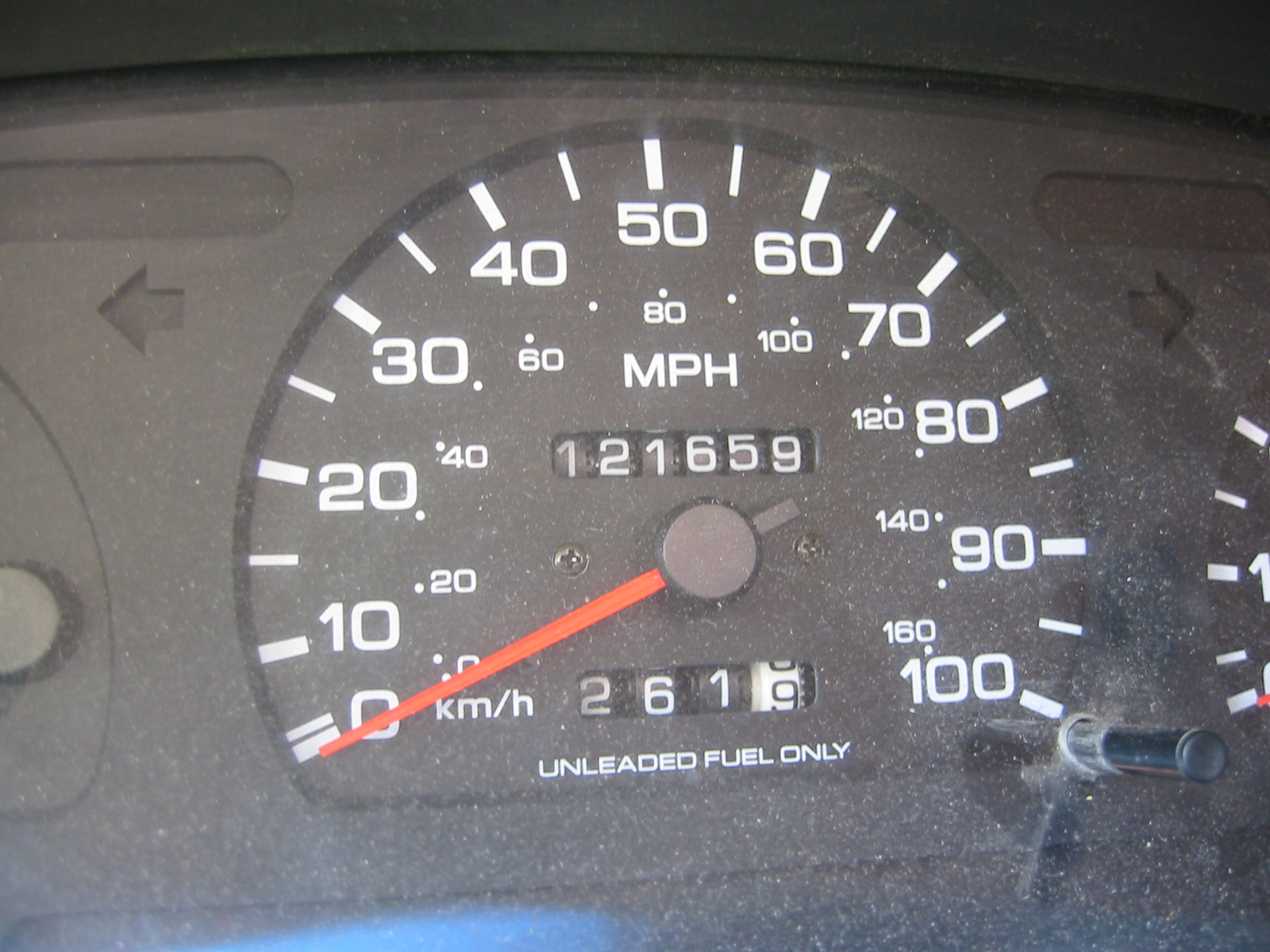
| 1185585022.JPG | 1185585022-pv.JPG | Odometer at start of trip: 121659 | mrd |
| 1185585041.JPG | 1185585041-pv.JPG | Odometer at start of trip: 121659 | mrd |
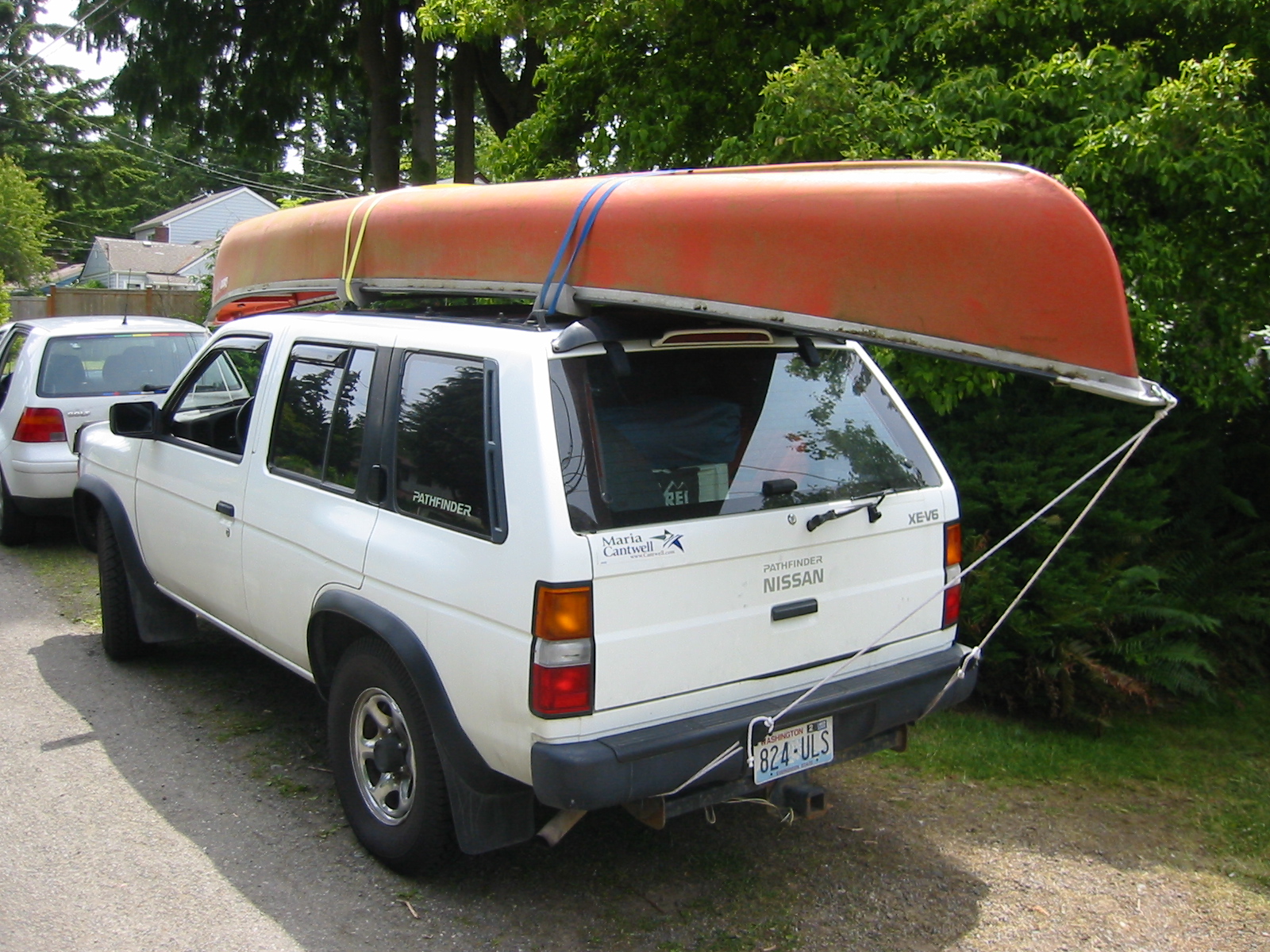
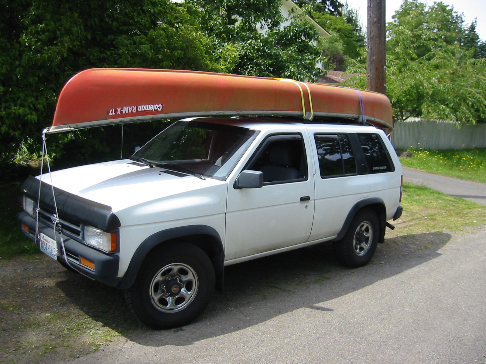
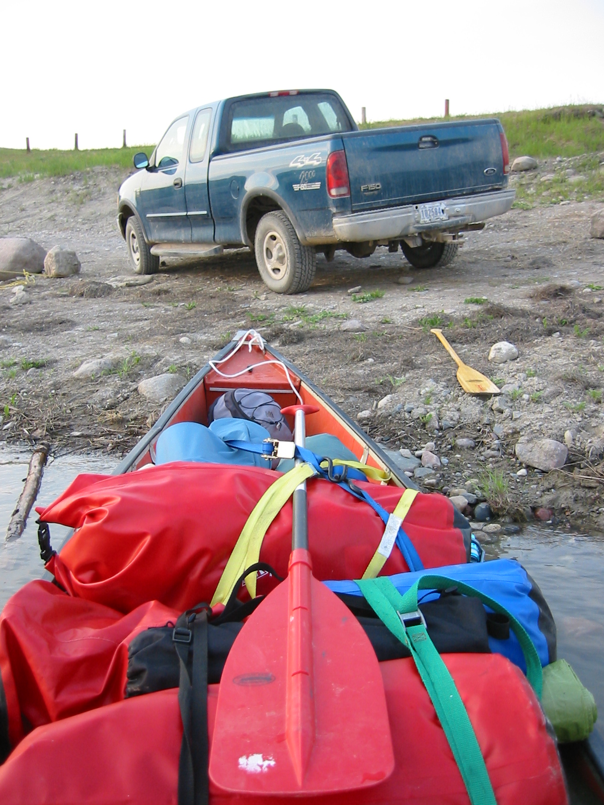
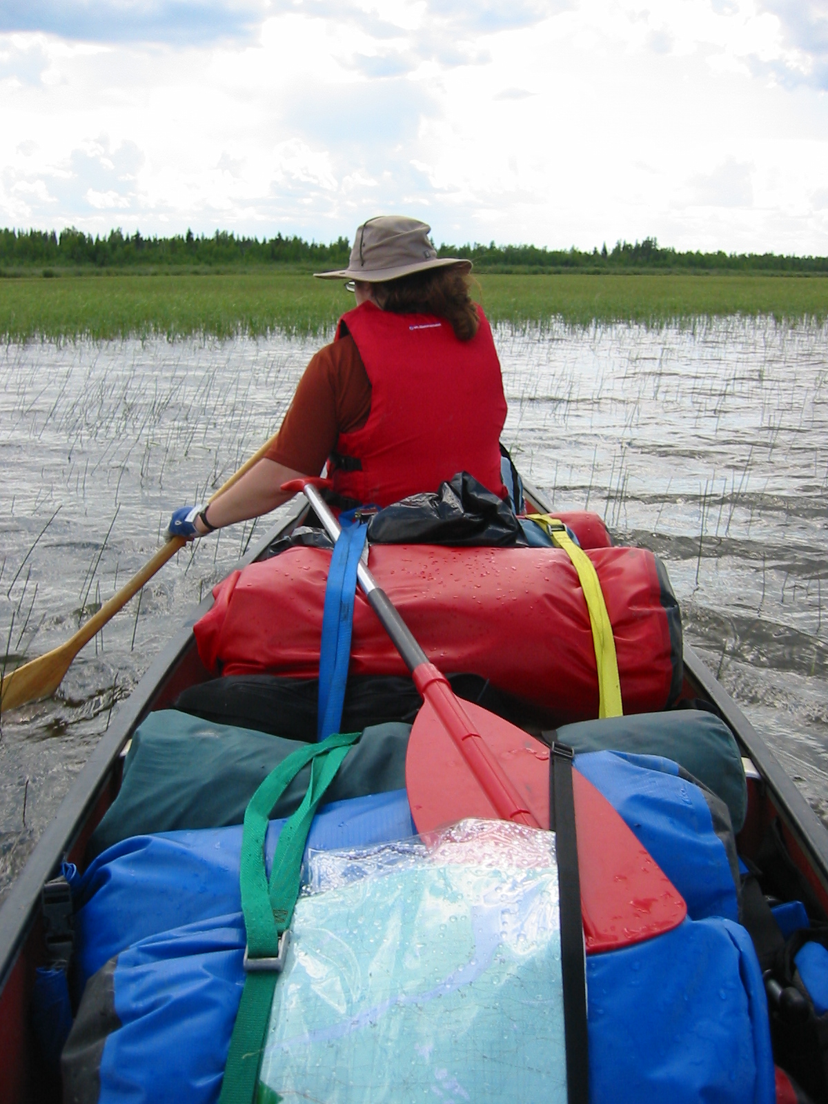
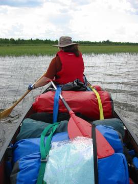
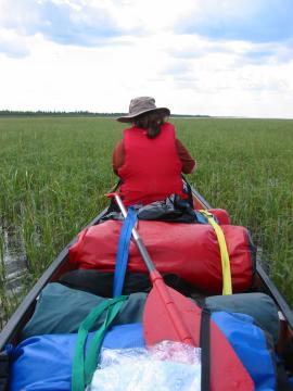
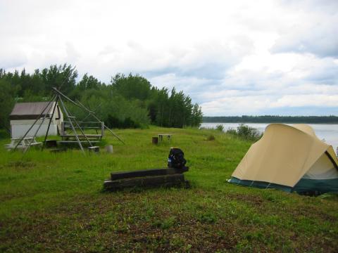
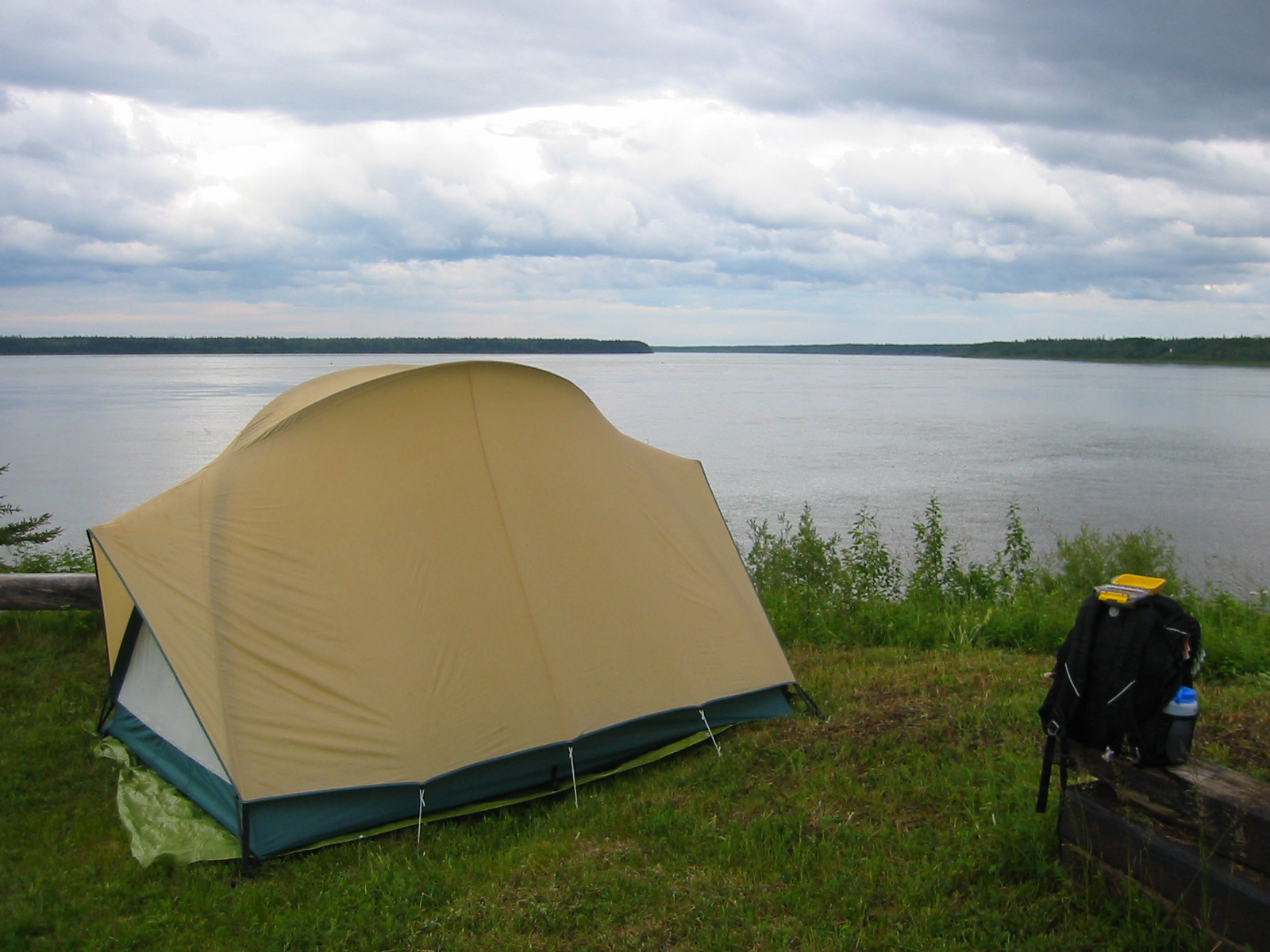
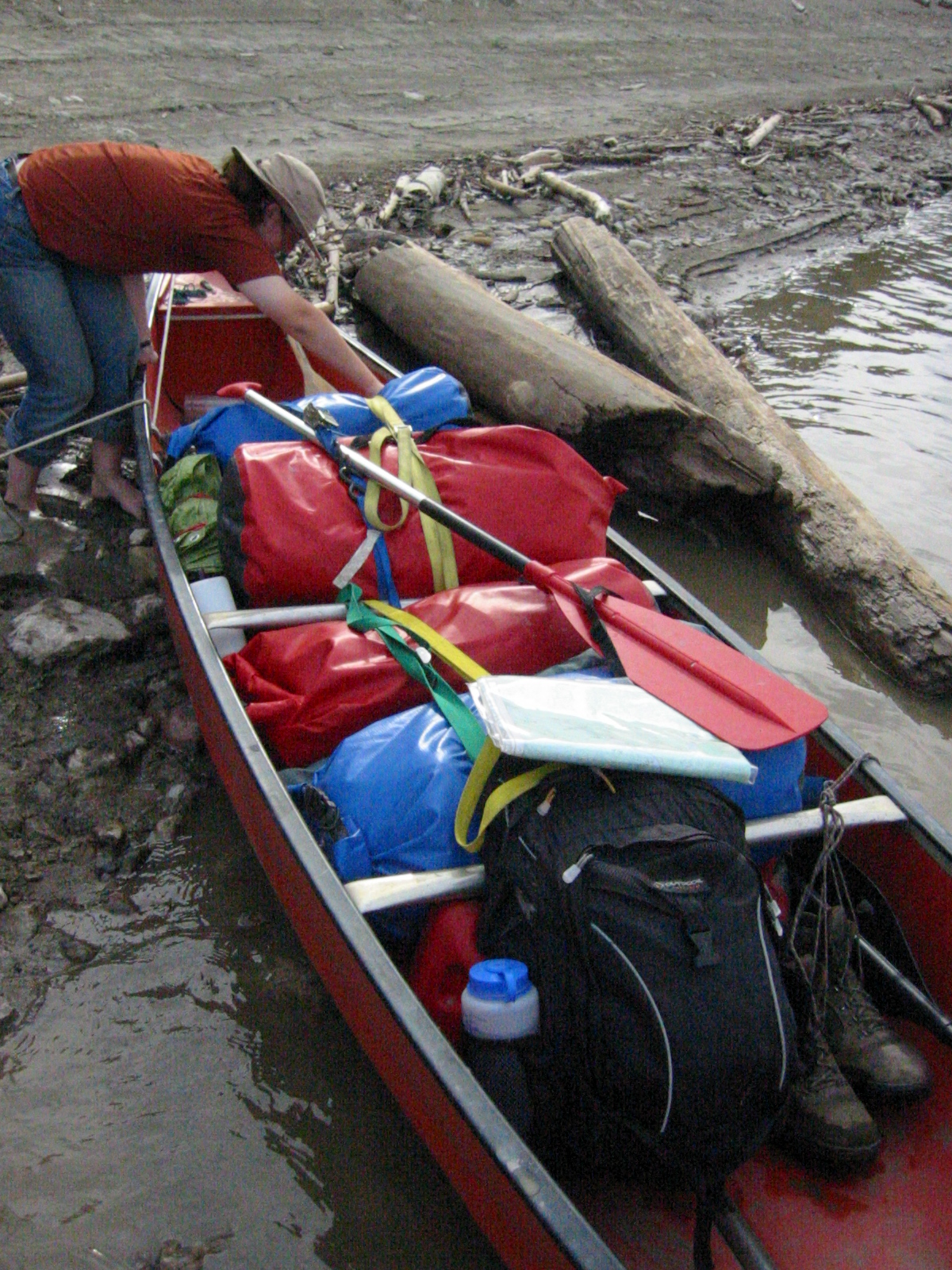
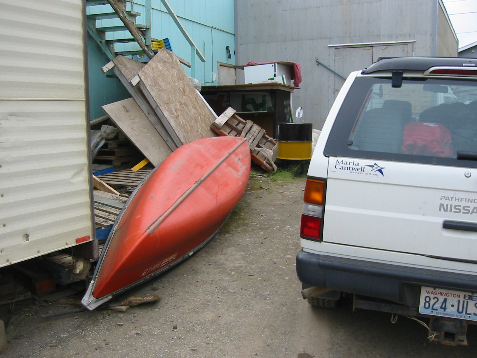
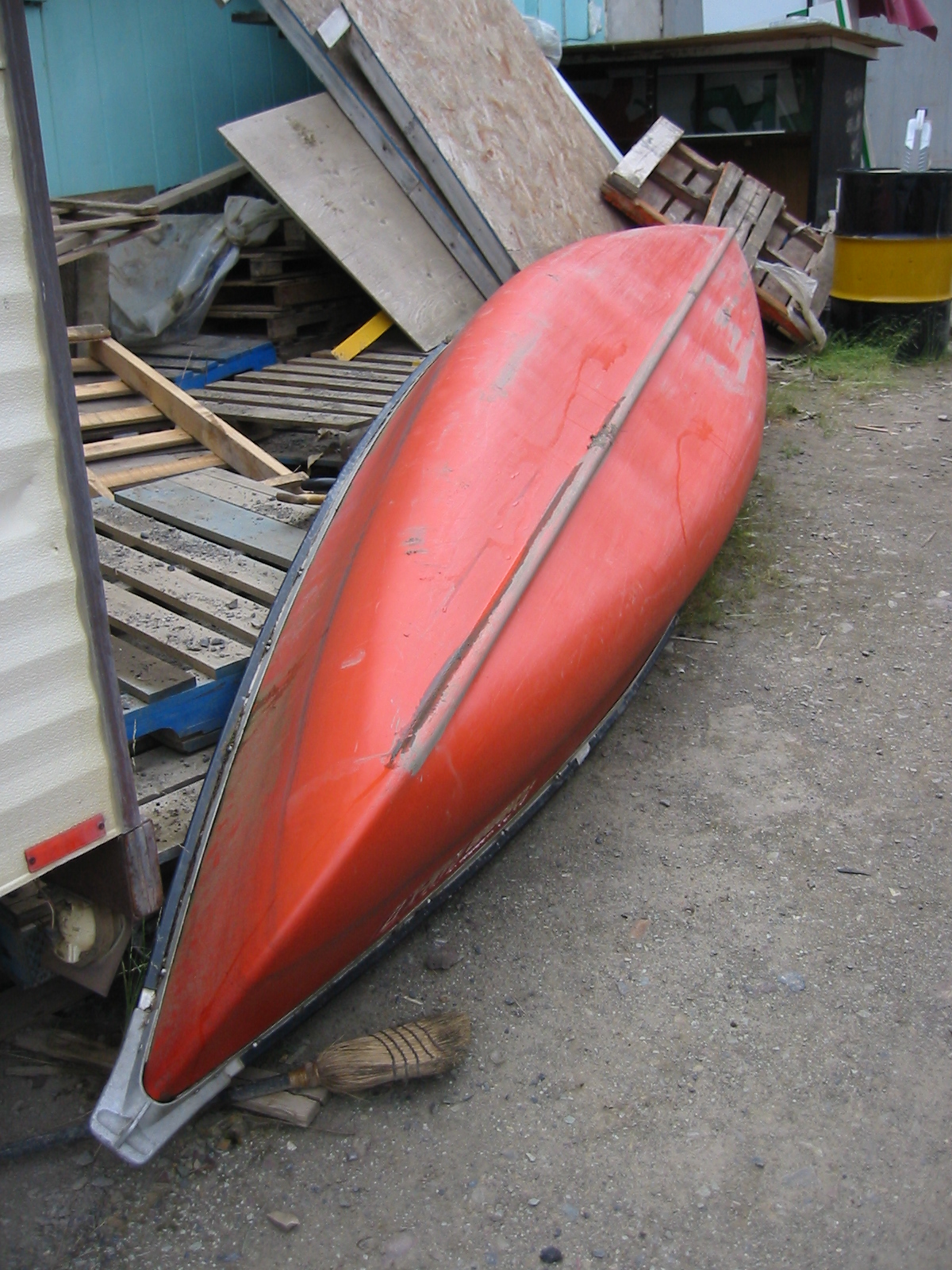
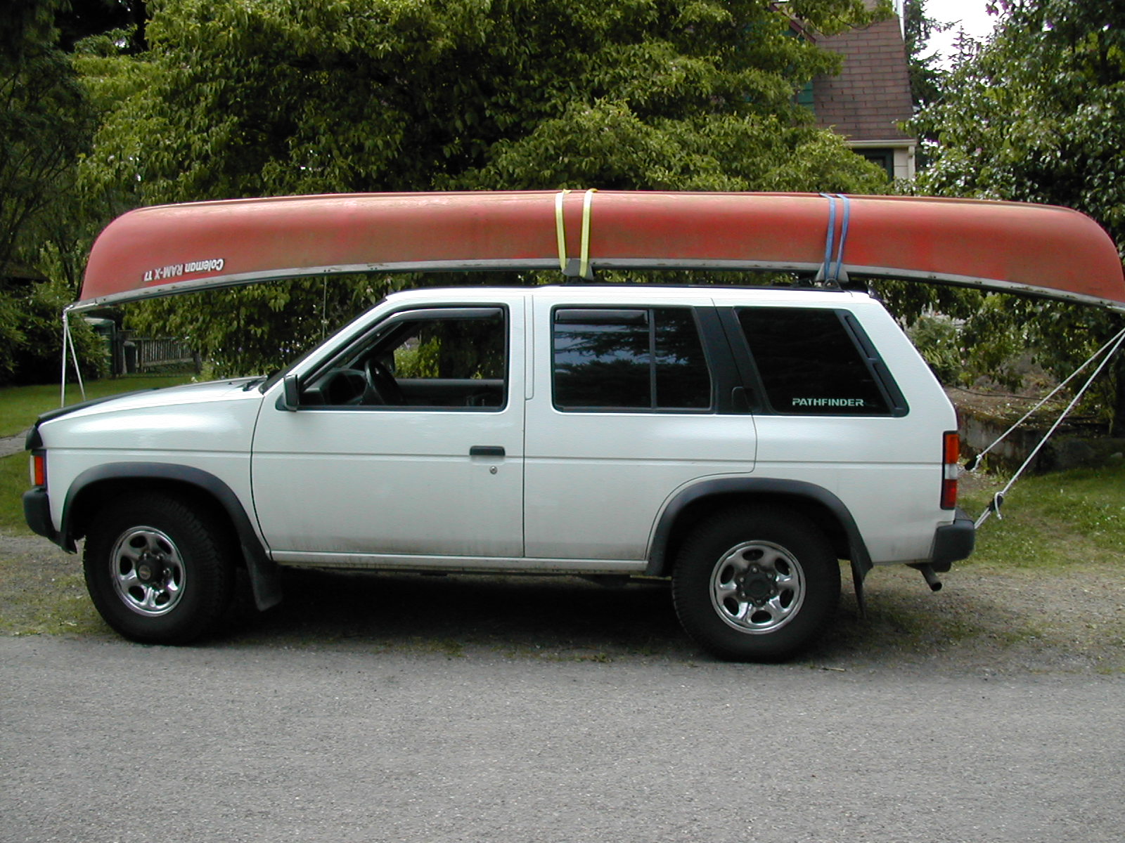
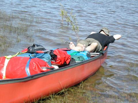
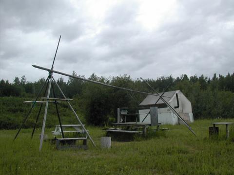
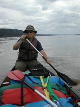
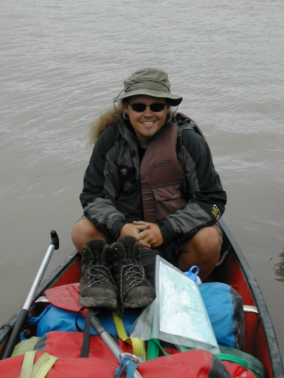
| 1185585155.JPG | 1185585155-pv.JPG | Pathfinder with gear and canoe loaded, in front of the Burrow | mrd |
| 1185585227.JPG | 1185585227-pv.JPG | Pathfinder with gear and canoe loaded, in front of the Burrow | mrd |
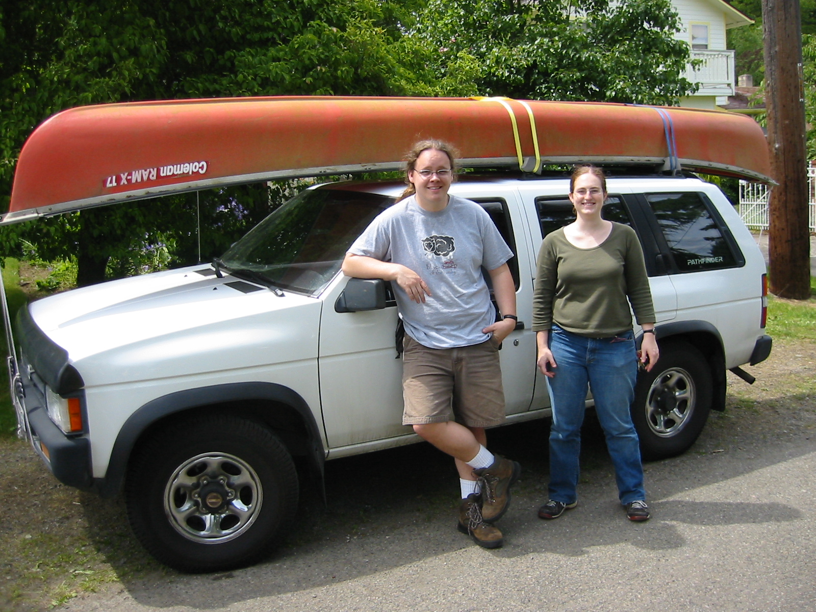
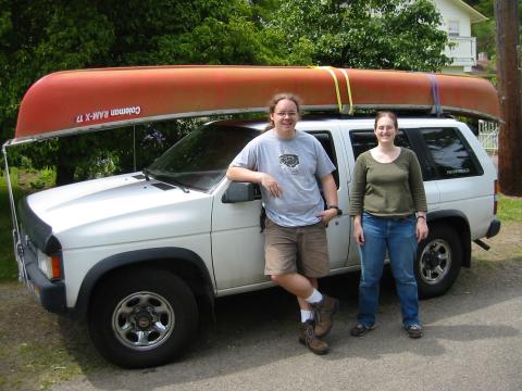
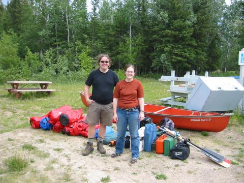
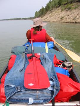
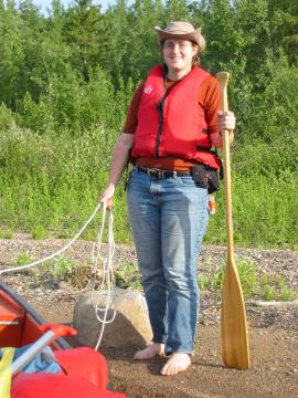
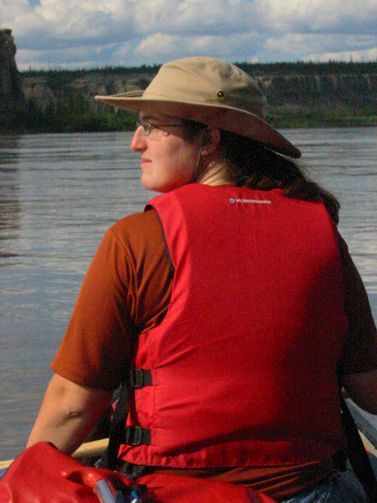
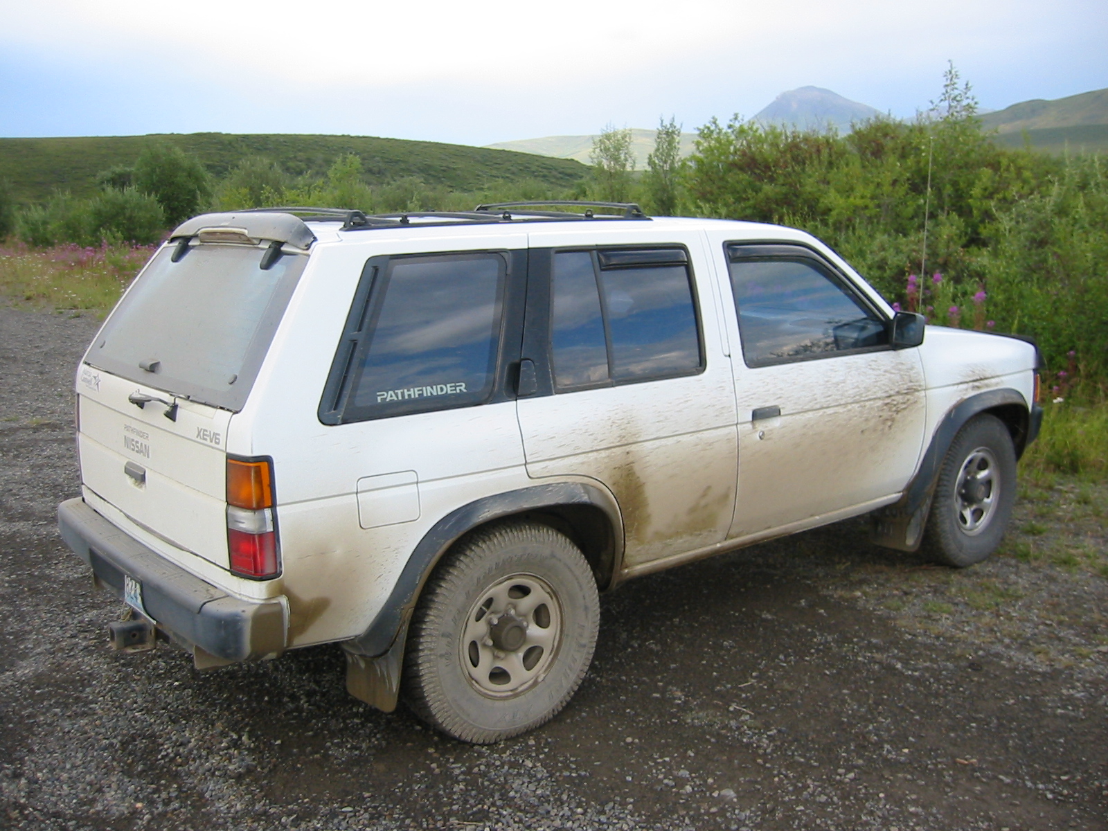
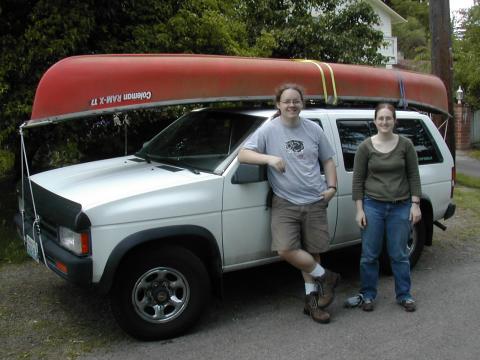
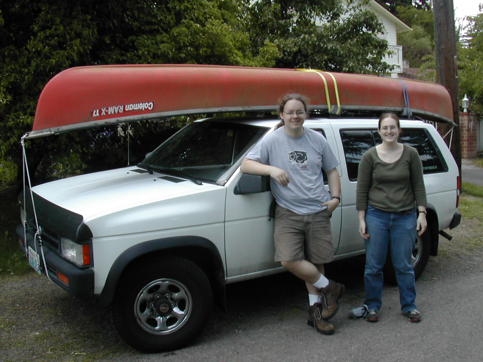
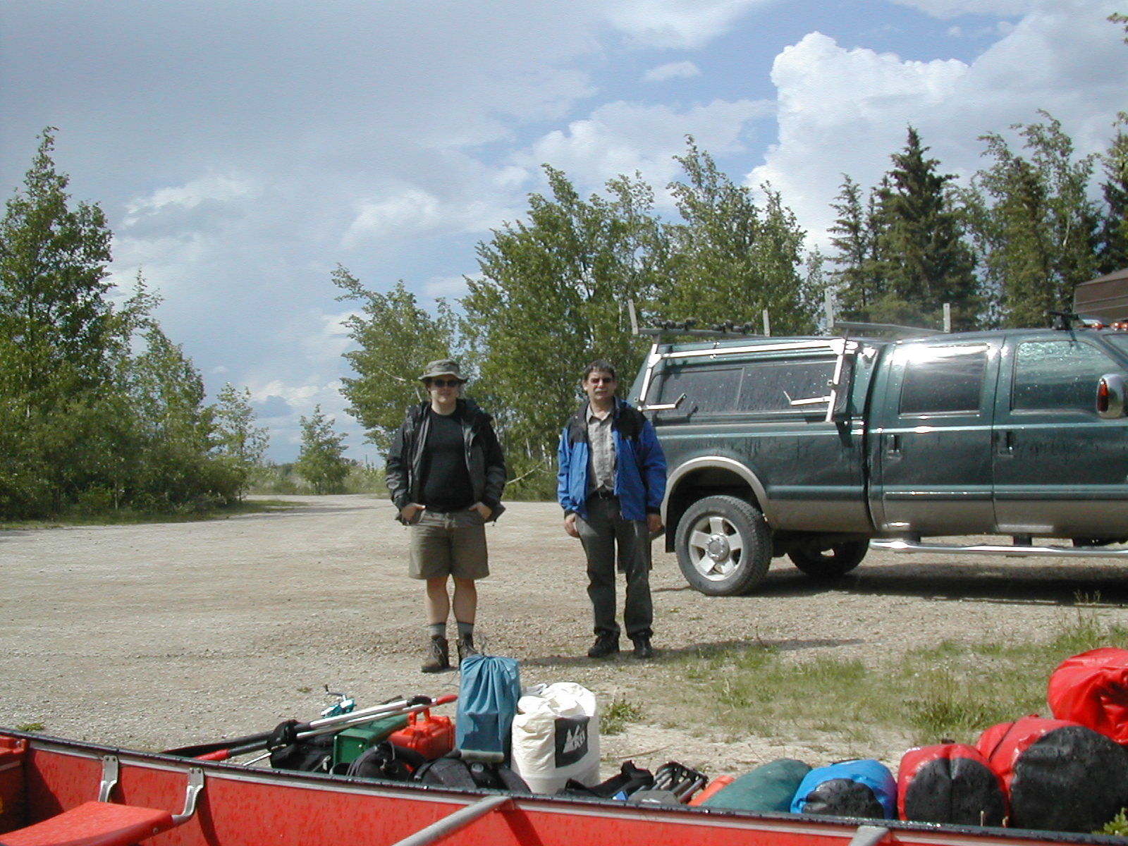
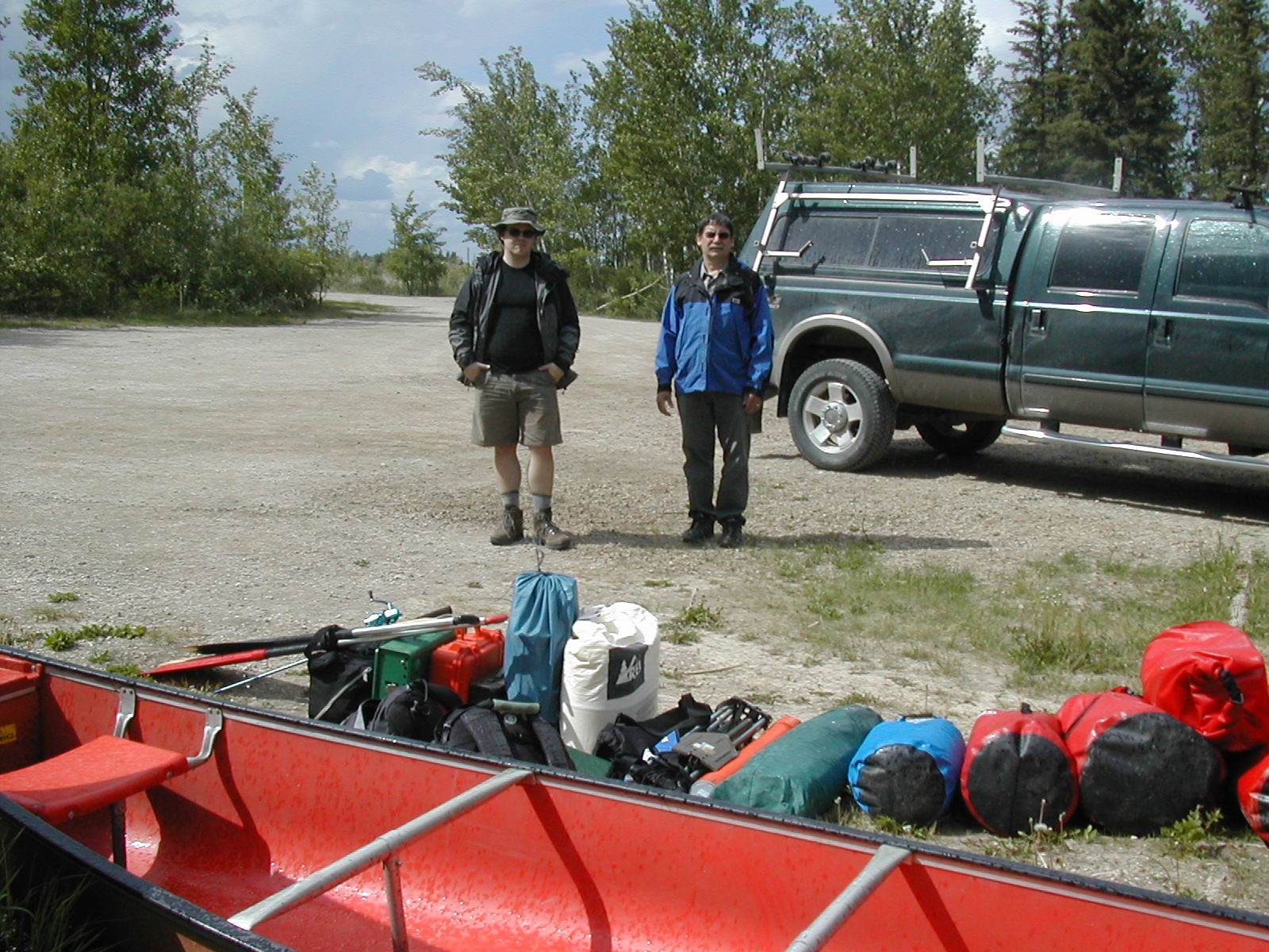
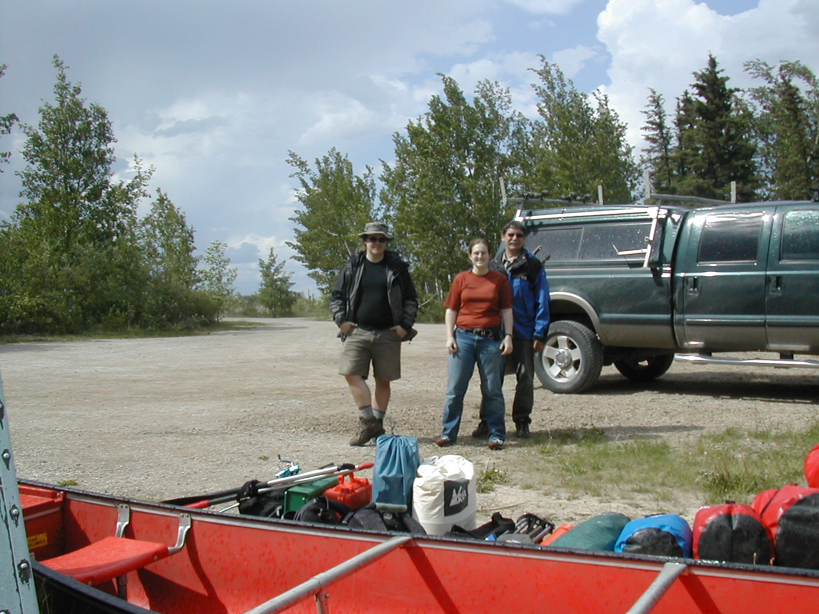
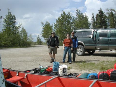
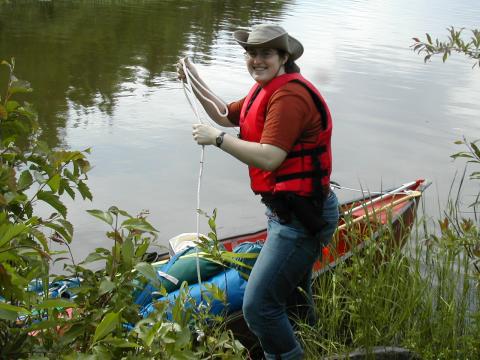
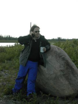
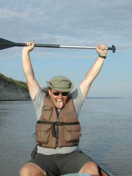
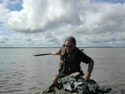
| 1185585344.JPG | 1185585344-pv.JPG | Fish and Ari in front of the loaded Pathfinder | mrd |
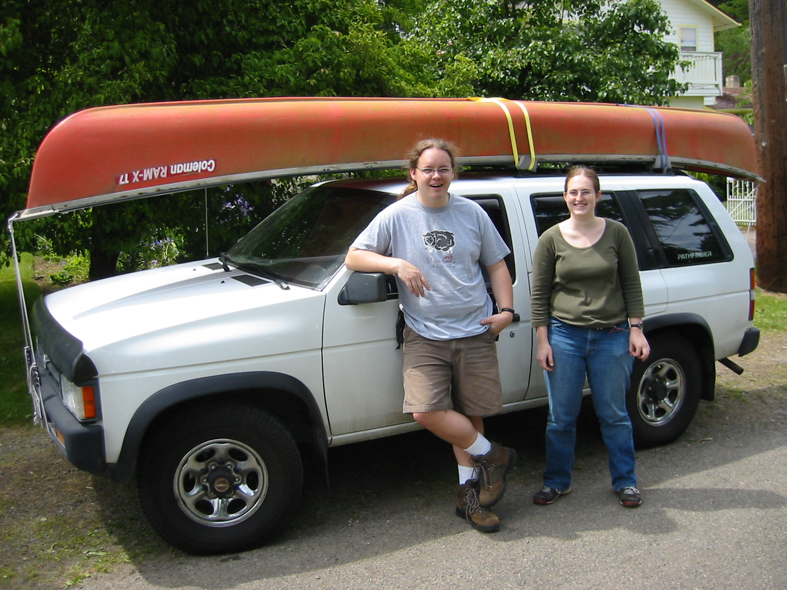
| 1185585363.JPG | 1185585363-pv.JPG | Fish and Ari in front of the loaded Pathfinder | mrd |
| 1185585392.JPG | 1185585392-pv.JPG | Fish and Ari in front of the loaded Pathfinder | mrd |
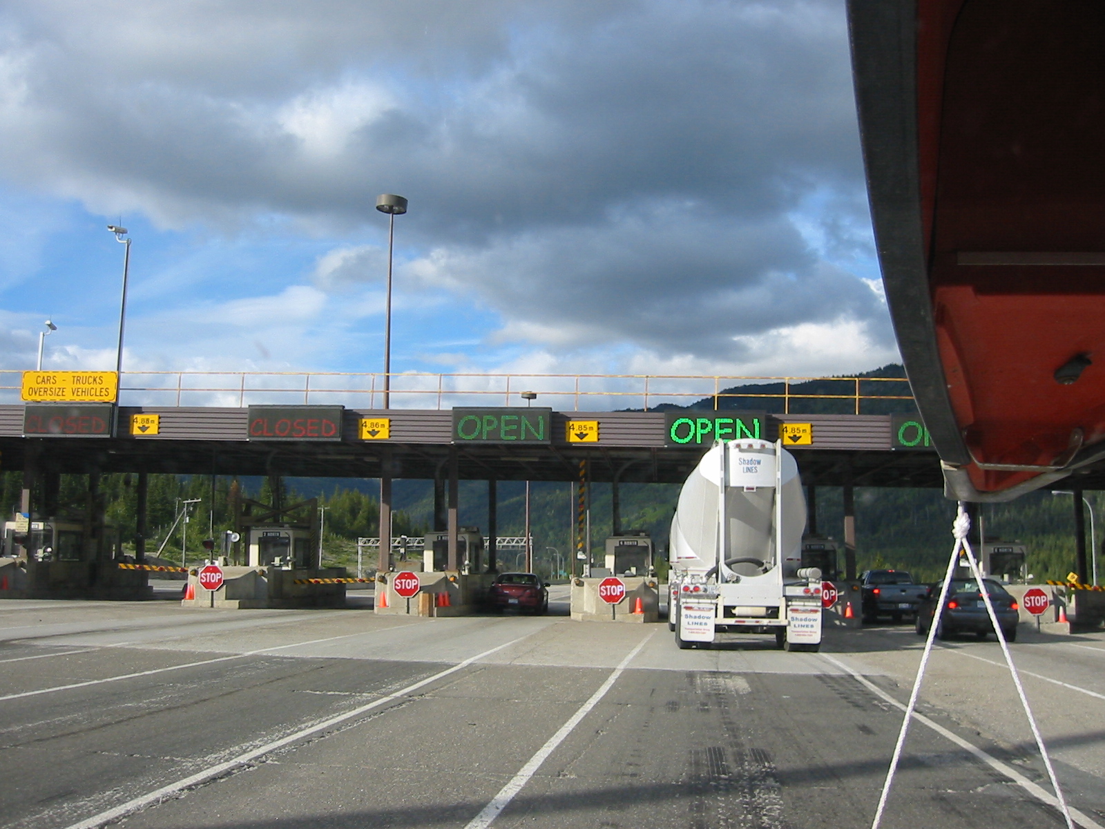
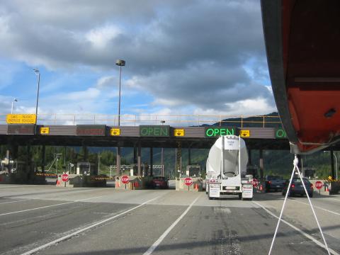
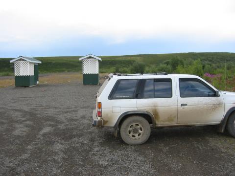
| 1185585450.JPG | 1185585450-pv.JPG | Tollbooths in BC | mrd |
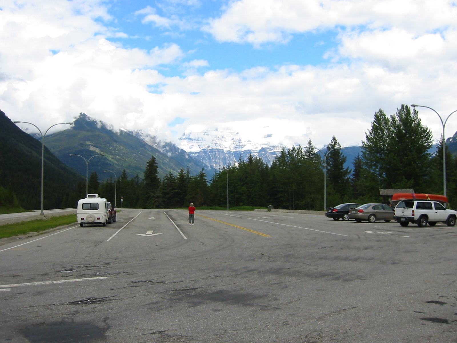
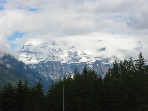
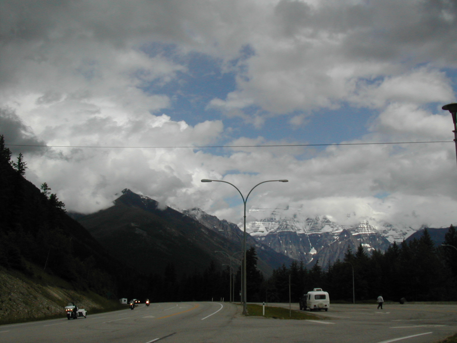
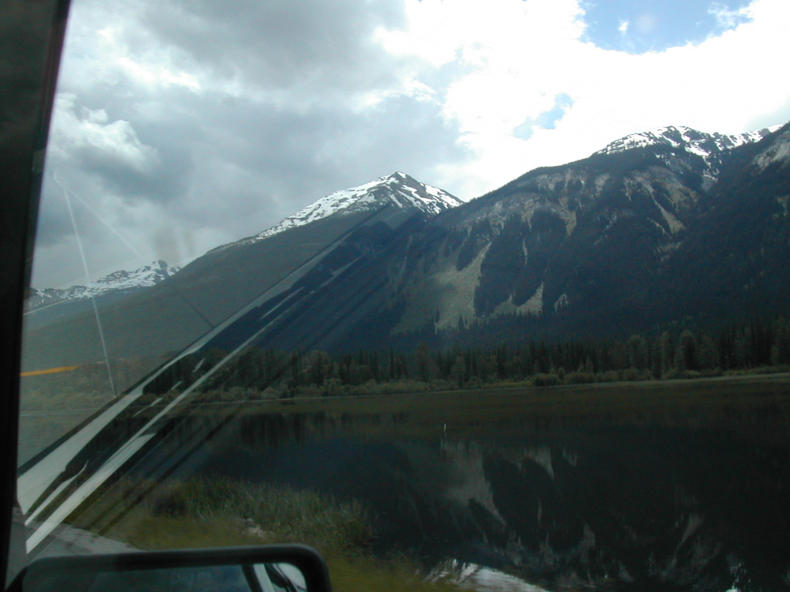
| 1185585605.JPG | 1185585605-pv.JPG | Mount Robson from the Mount Terry Fox parking lot | mrd |
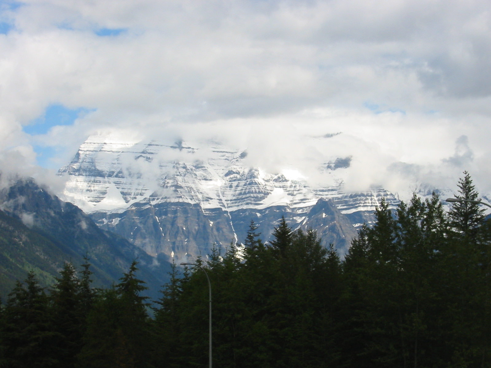
| 1185585726.JPG | 1185585726-pv.JPG | Mount Robson from the Mount Terry Fox parking lot | mrd |
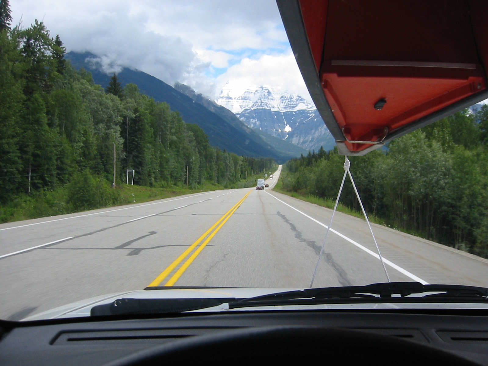
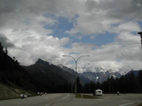
| 1185585747.JPG | 1185585747-pv.JPG | Mount Robson roadshot | mrd |
| 1185585789.JPG | 1185585789-pv.JPG | Mount Robson roadshot | mrd |
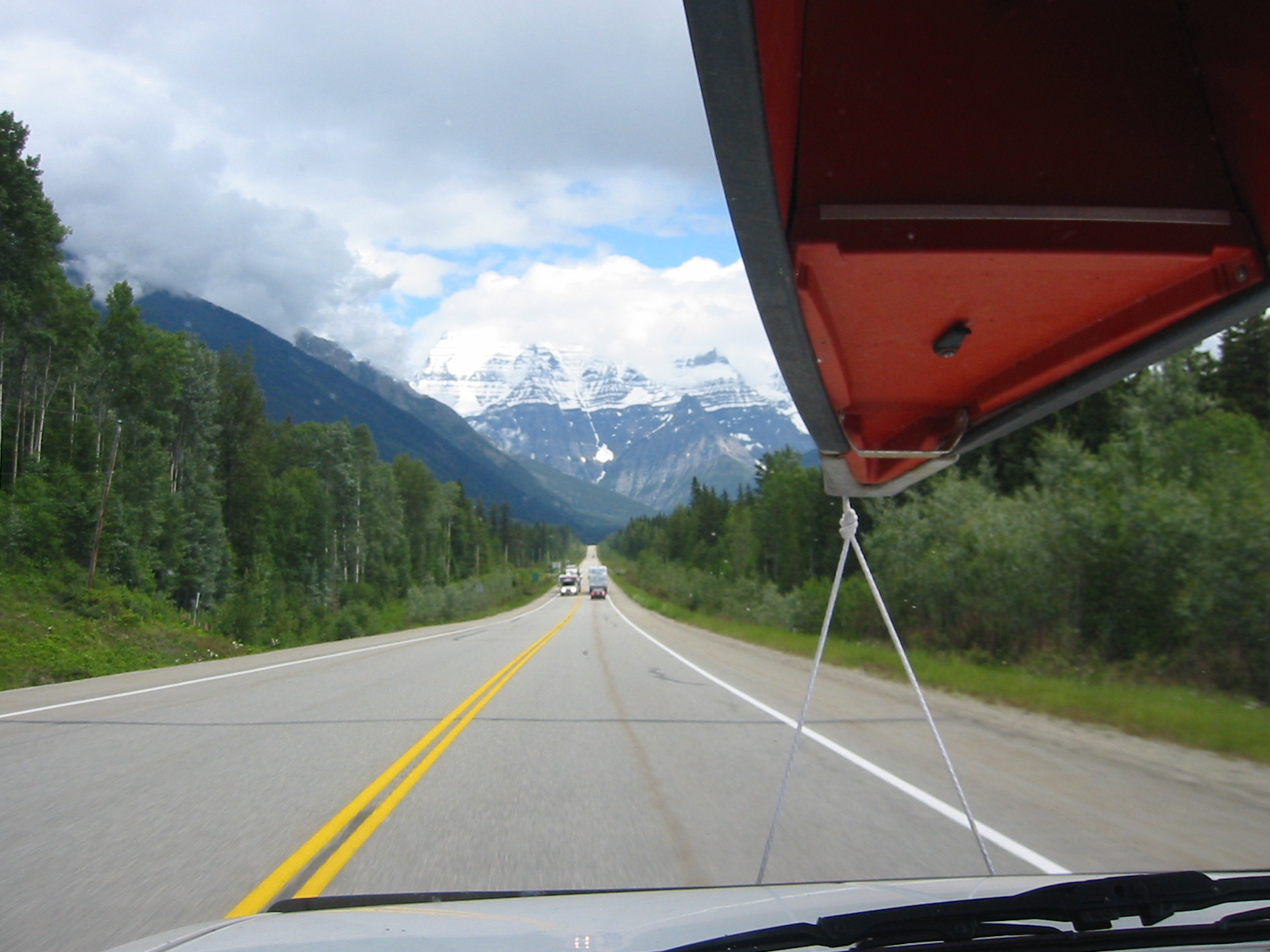
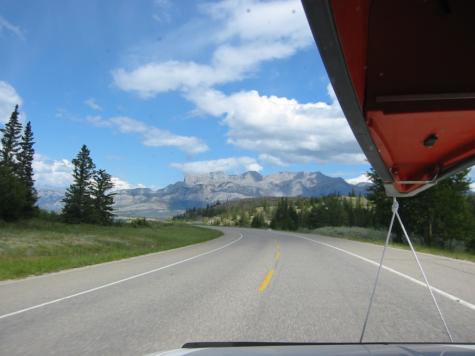
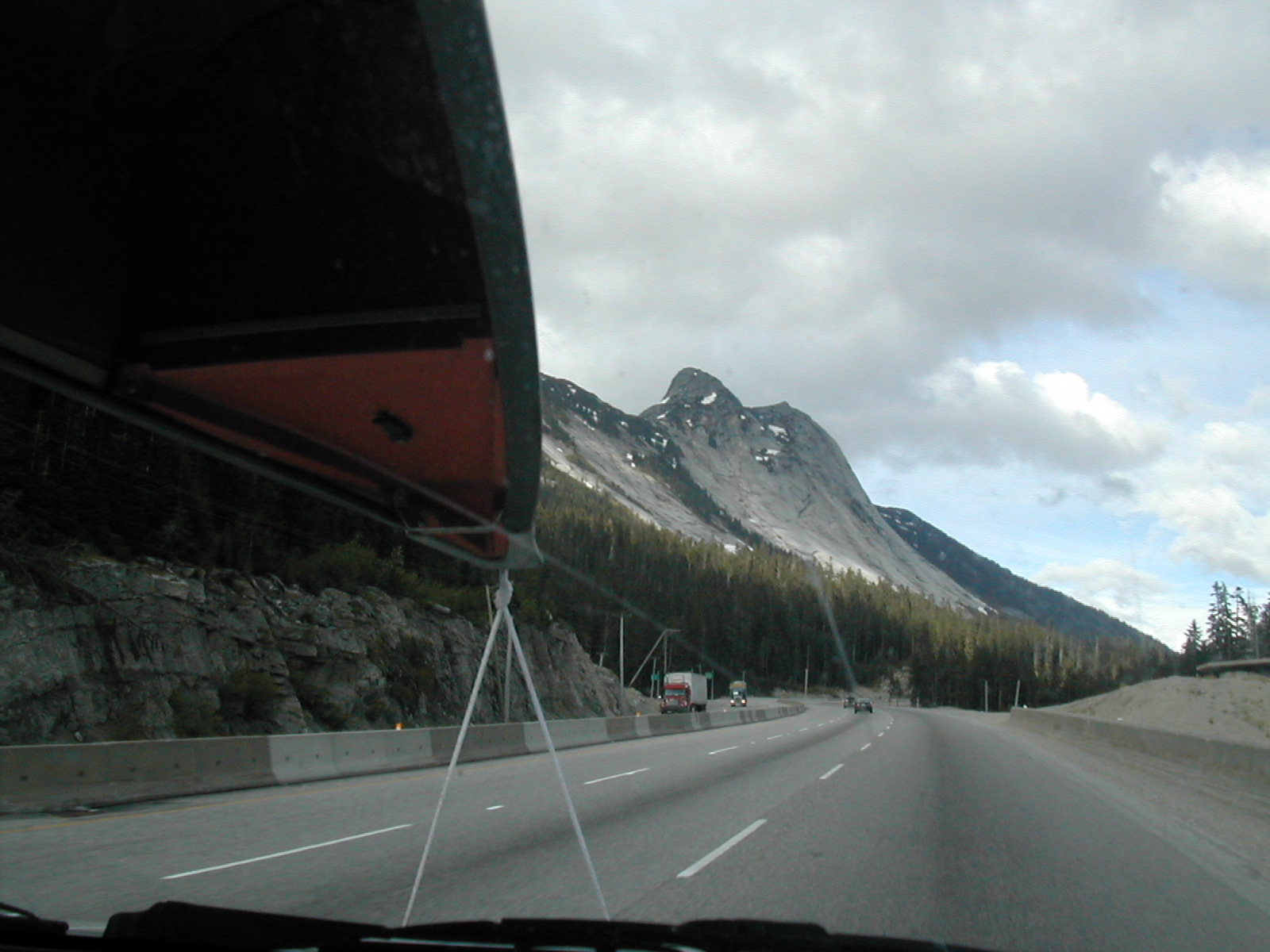
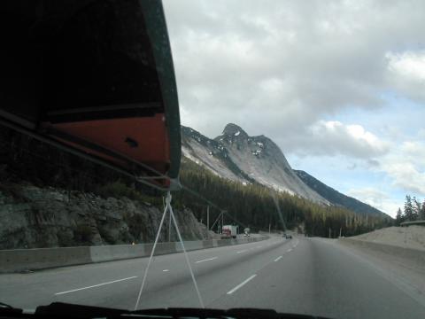
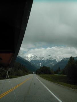
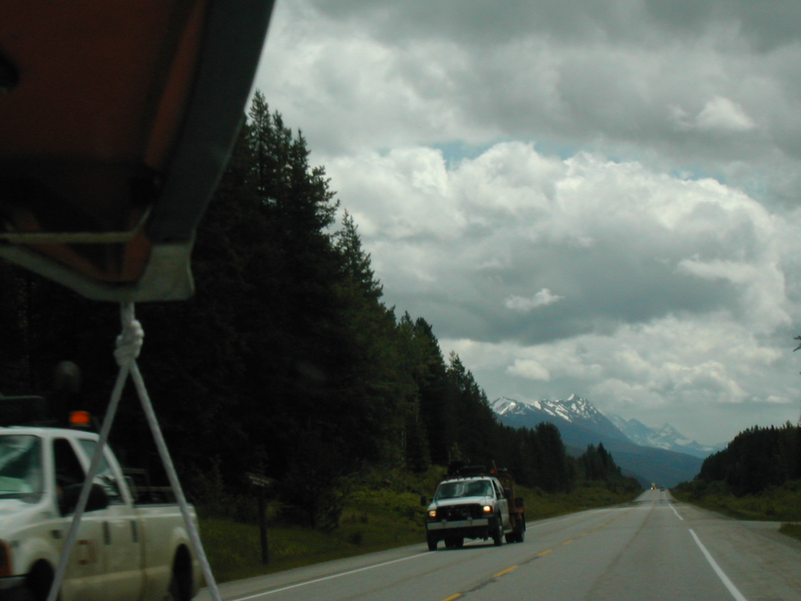
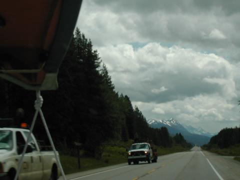
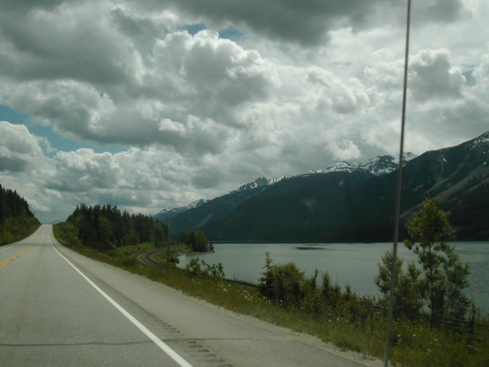
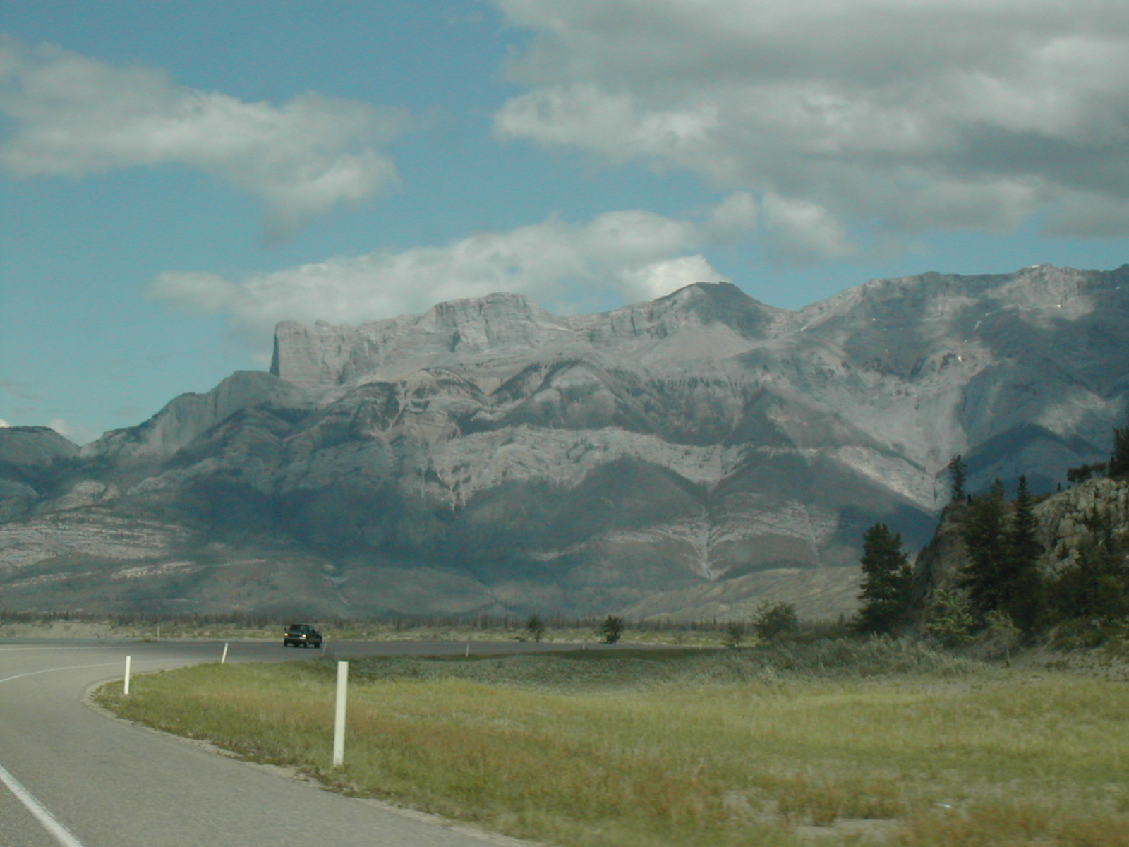
| 1185585834.JPG | 1185585834-pv.JPG | Roadshot with Jasper mountains | mrd |
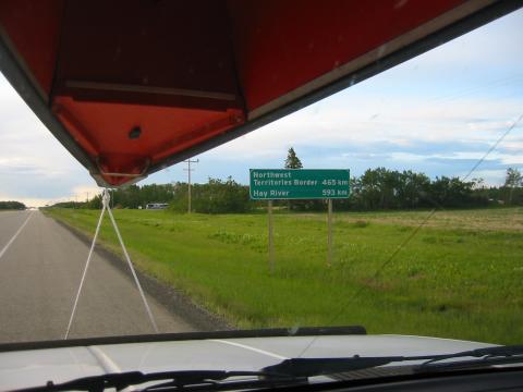
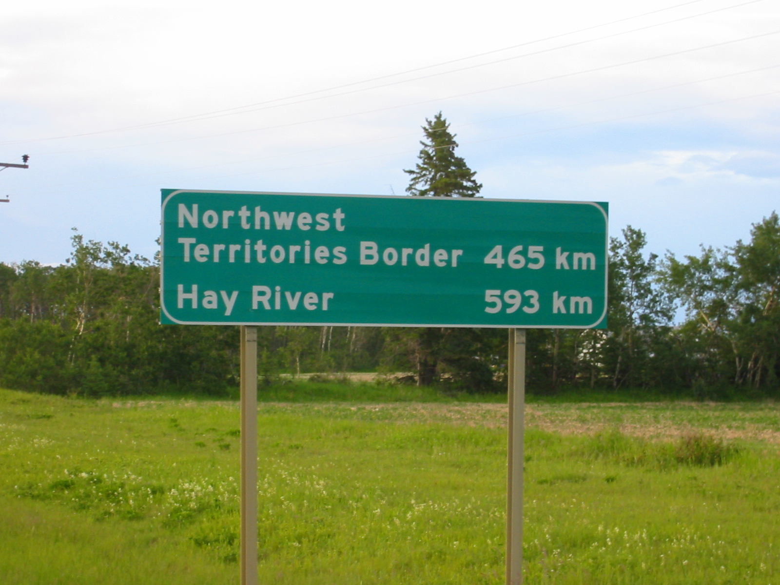
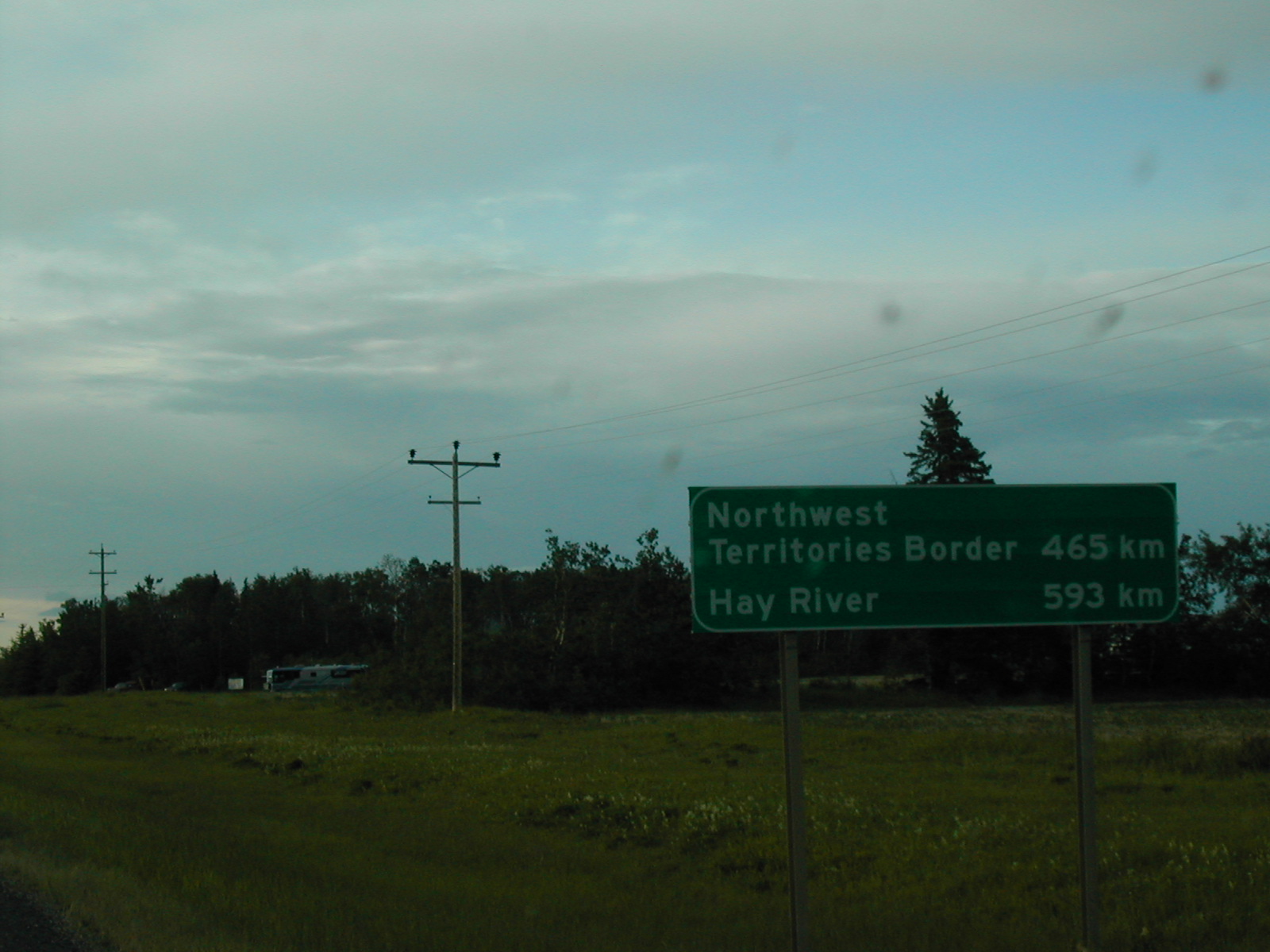
| 1185586162.JPG | 1185586162-pv.JPG | Roadsign: Northwest Territories Border, Hay River | mrd |
| 1185586218.JPG | 1185586218-pv.JPG | Roadsign: Northwest Territories Border, Hay River | mrd |
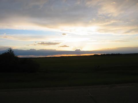
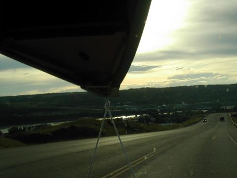
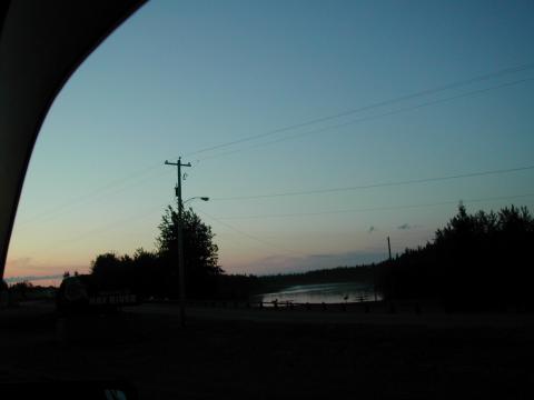
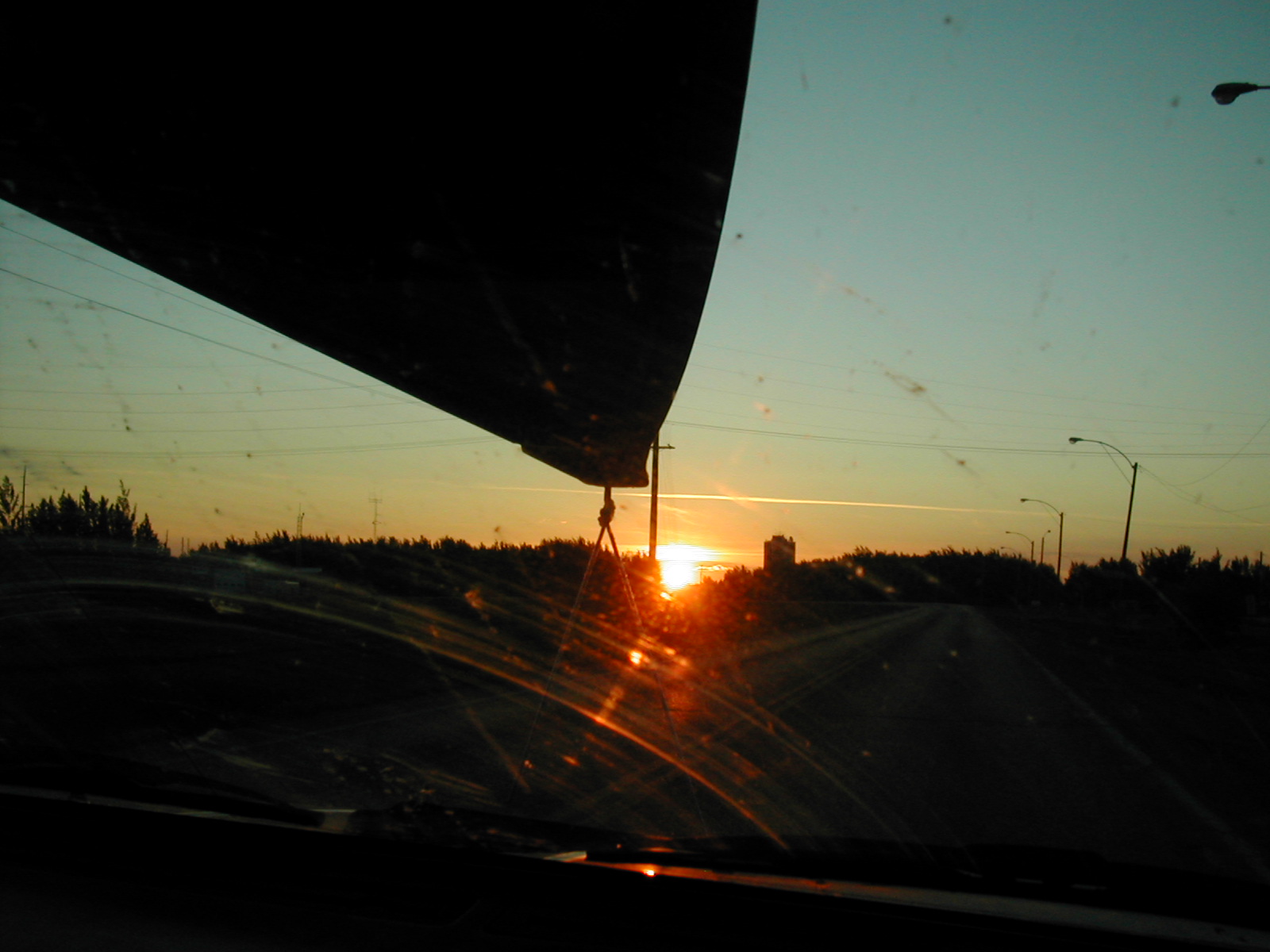
| 1185586279.JPG | 1185586279-pv.JPG | Sun setting in northern Alberta around 23:30 | mrd |
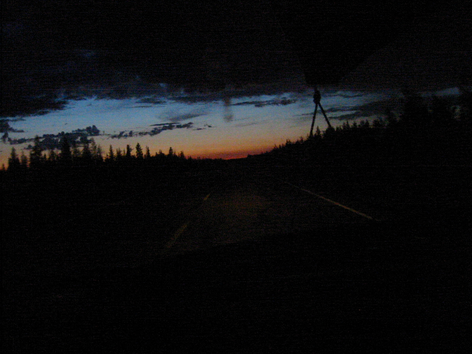
| 1185586334.JPG | 1185586334-pv.JPG | Roadshot from around 1:30, at the dimmest | mrd |
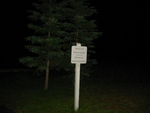
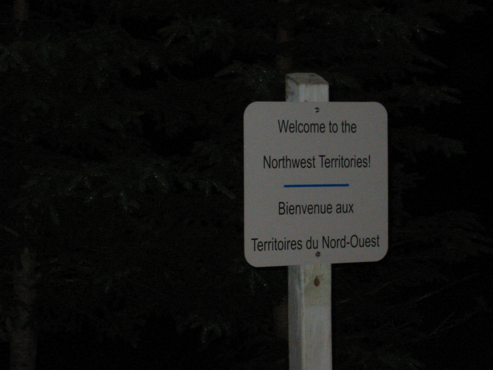
| 1185586361.JPG | 1185586361-pv.JPG | Welcome to the Northwest Territories sign | mrd |
| 1185586383.JPG | 1185586383-pv.JPG | Welcome to the Northwest Territories sign | mrd |
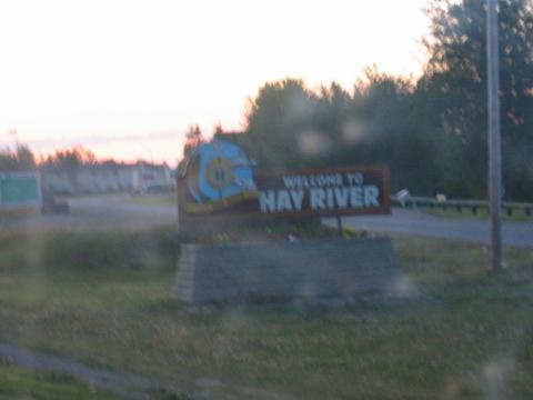
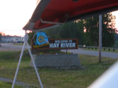
| 1185586433.JPG | 1185586433-pv.JPG | Welcome to Hay River sign | mrd |
| 1185586450.JPG | 1185586450-pv.JPG | Welcome to Hay River sign | mrd |
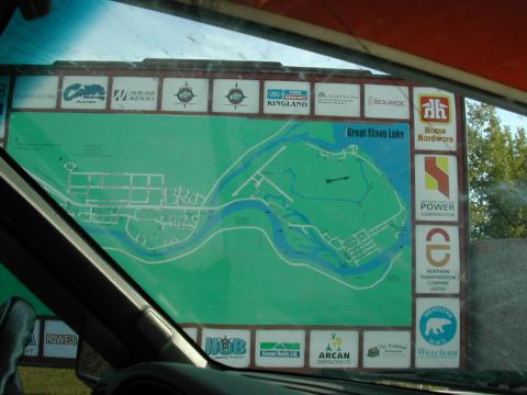
| 1185586472.JPG | 1185586472-pv.JPG | Map of Hay River | mrd |
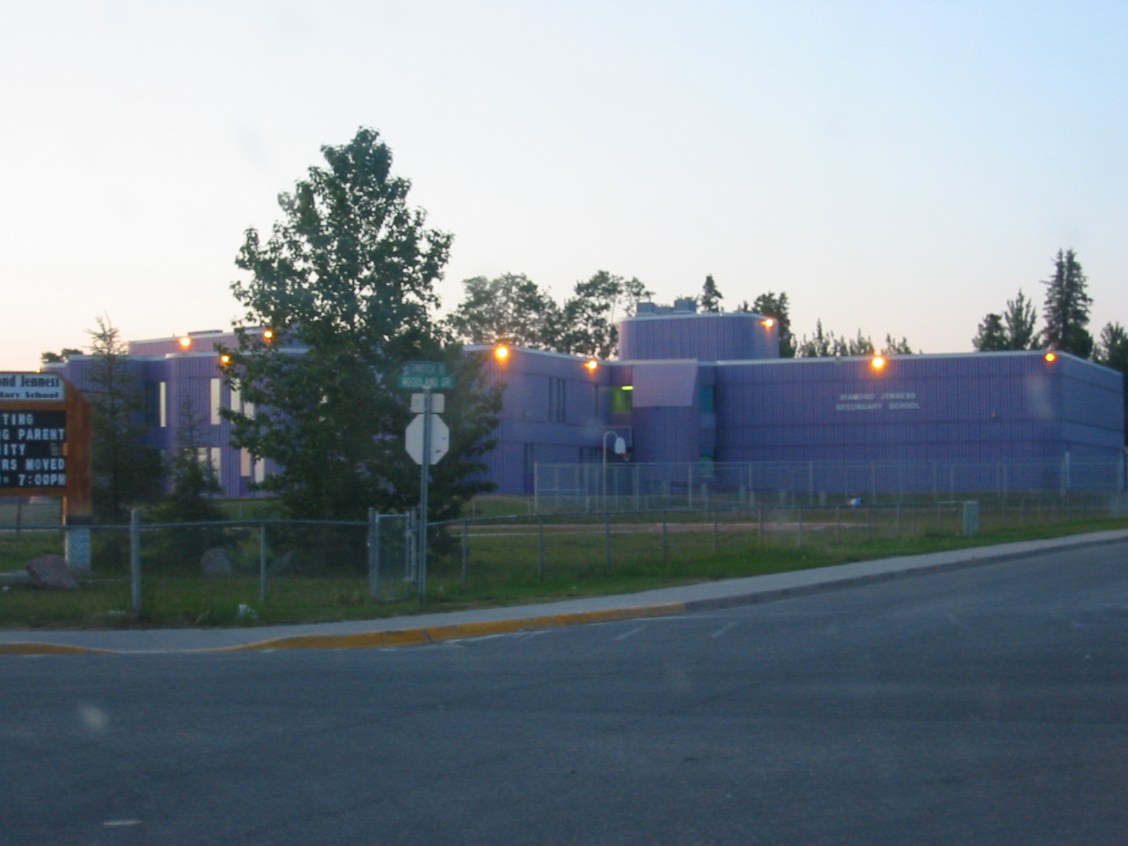
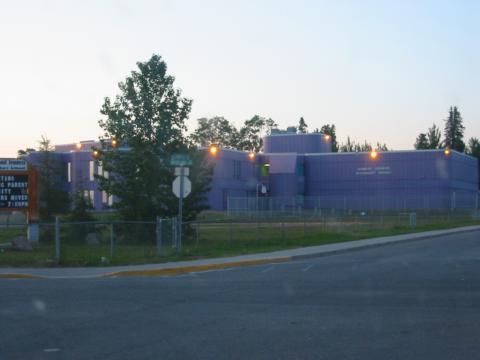
| 1185586494.JPG | 1185586494-pv.JPG | Purple concrete school in Hay River | mrd |
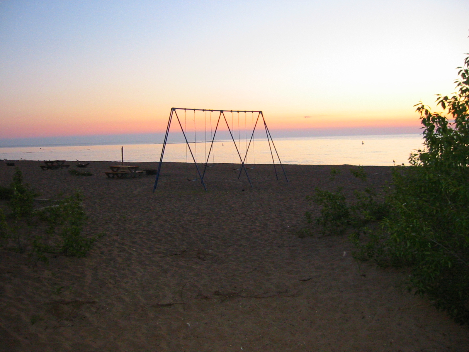
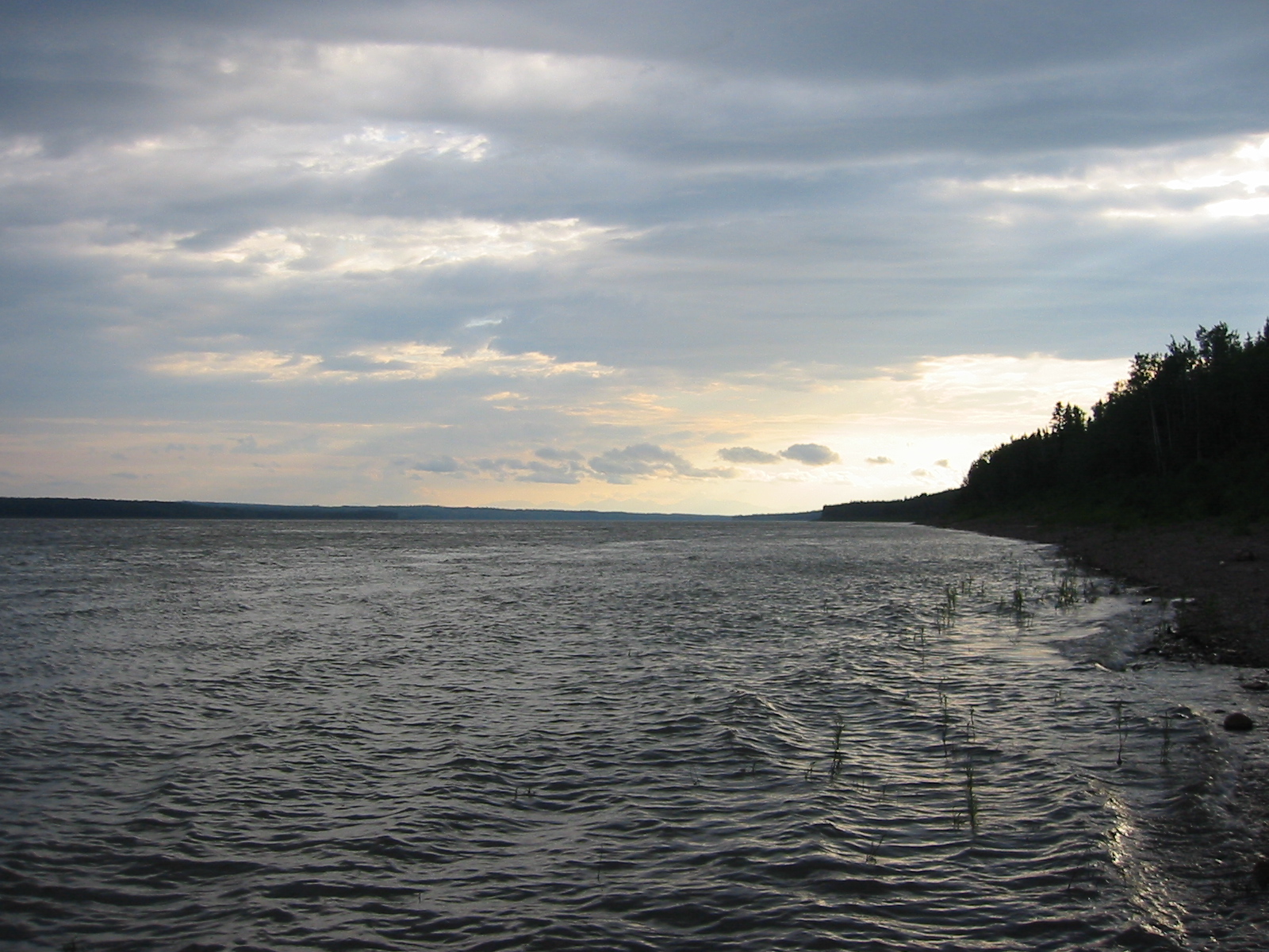
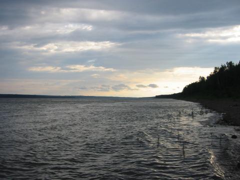
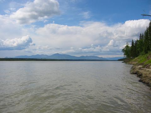
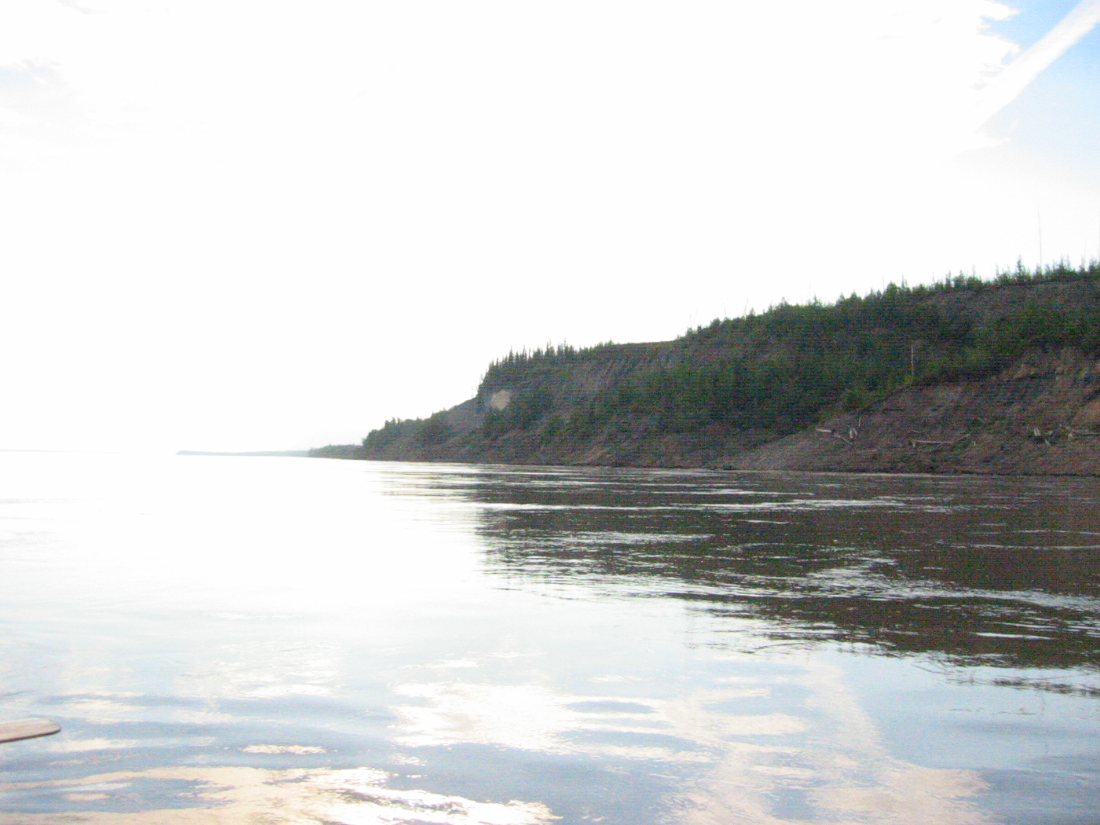
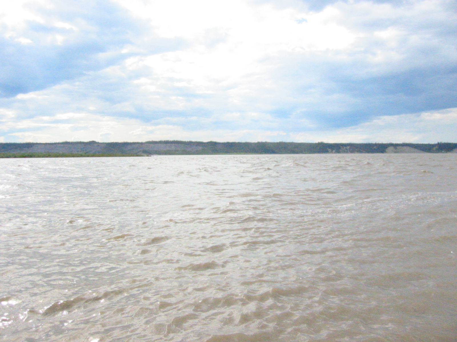
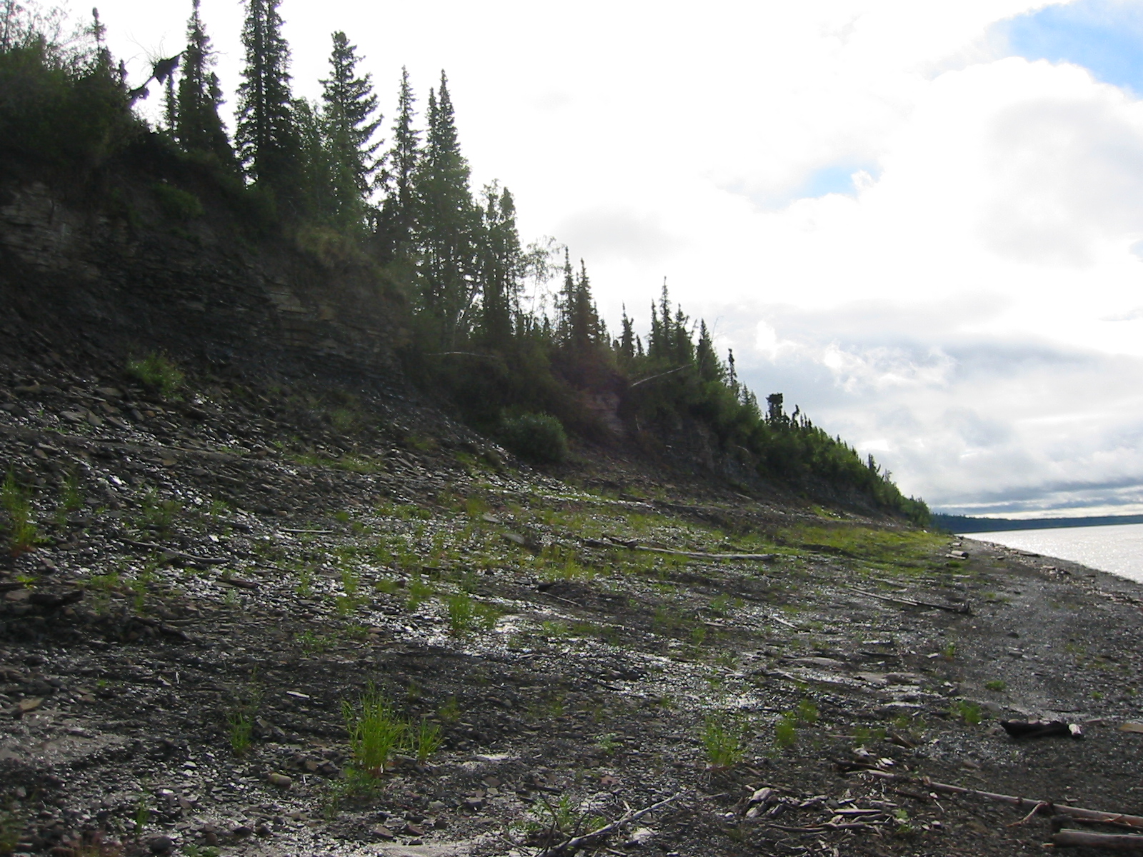
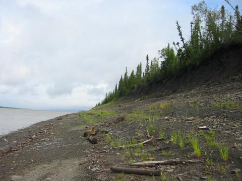
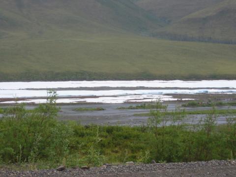
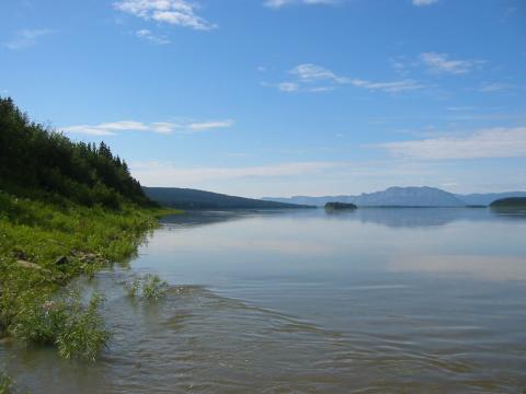
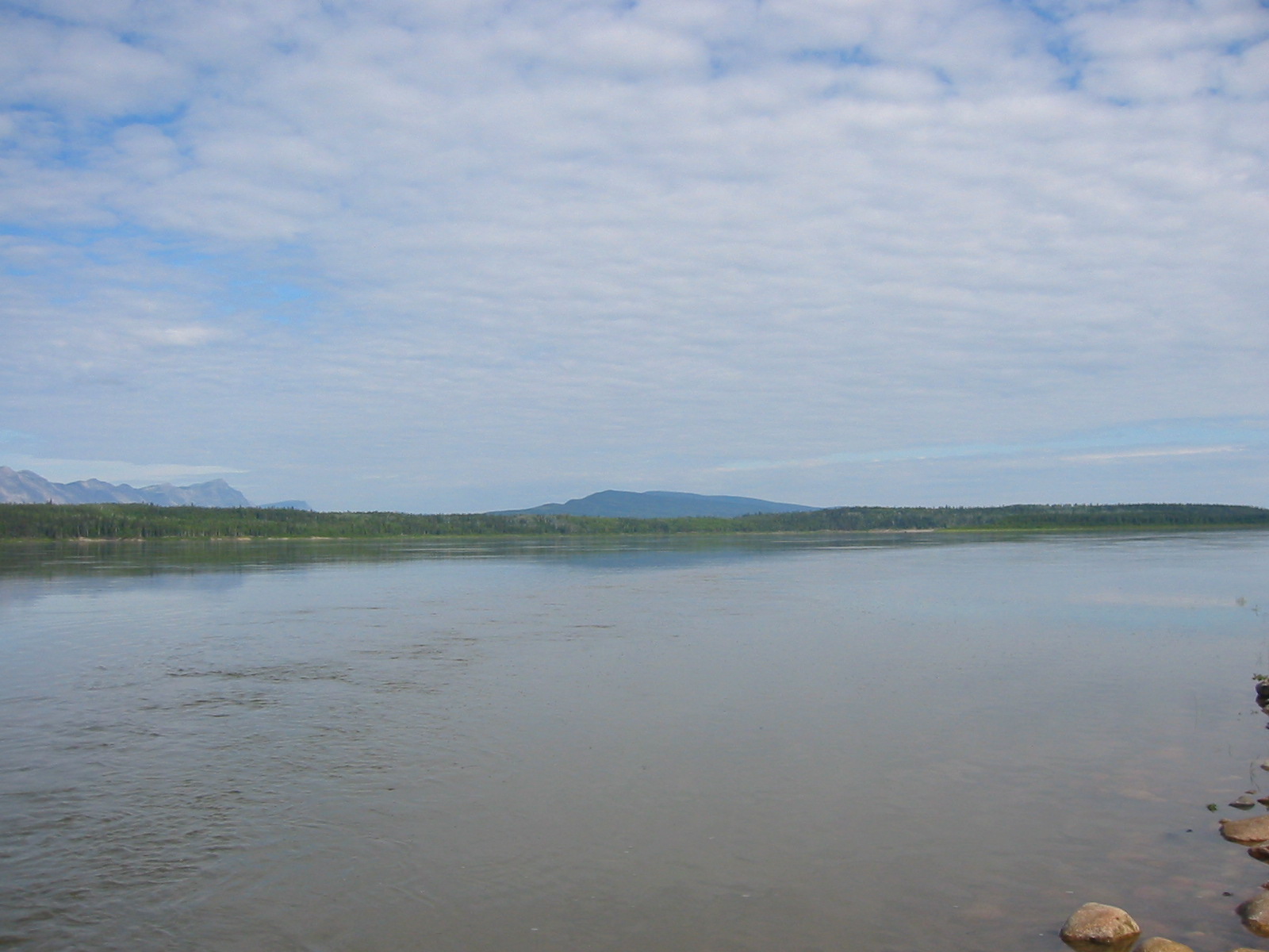
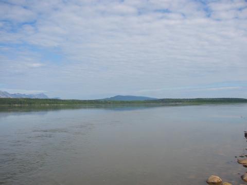
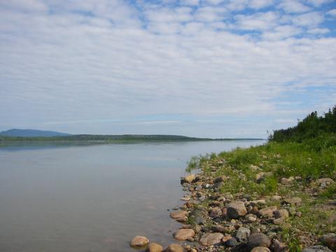
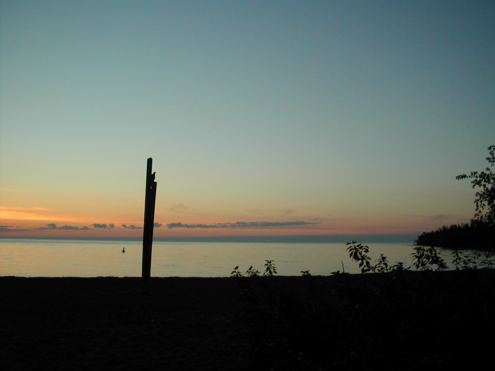
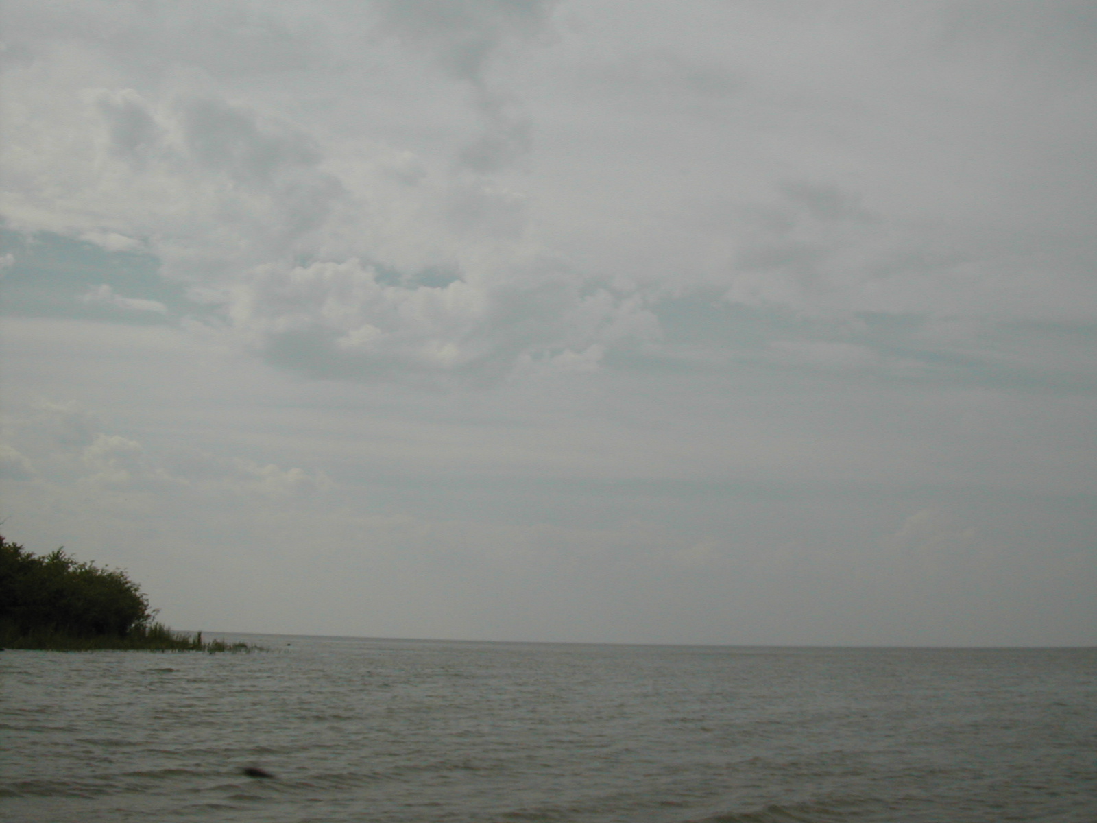
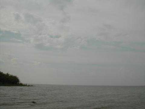
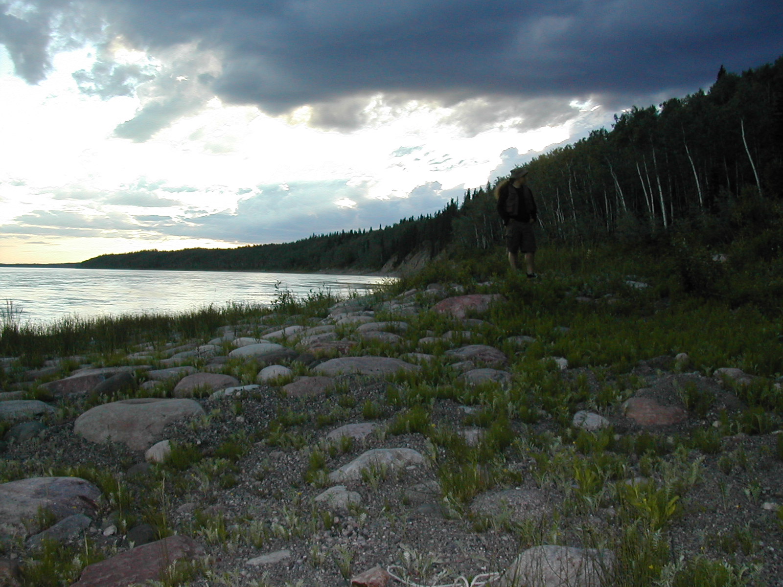
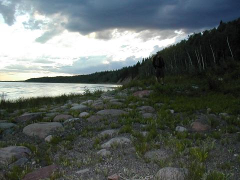
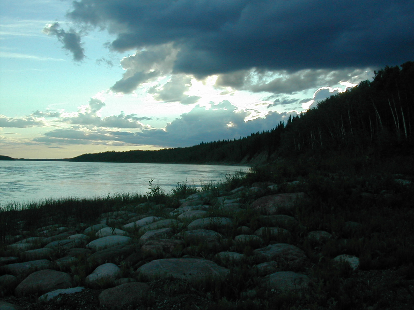
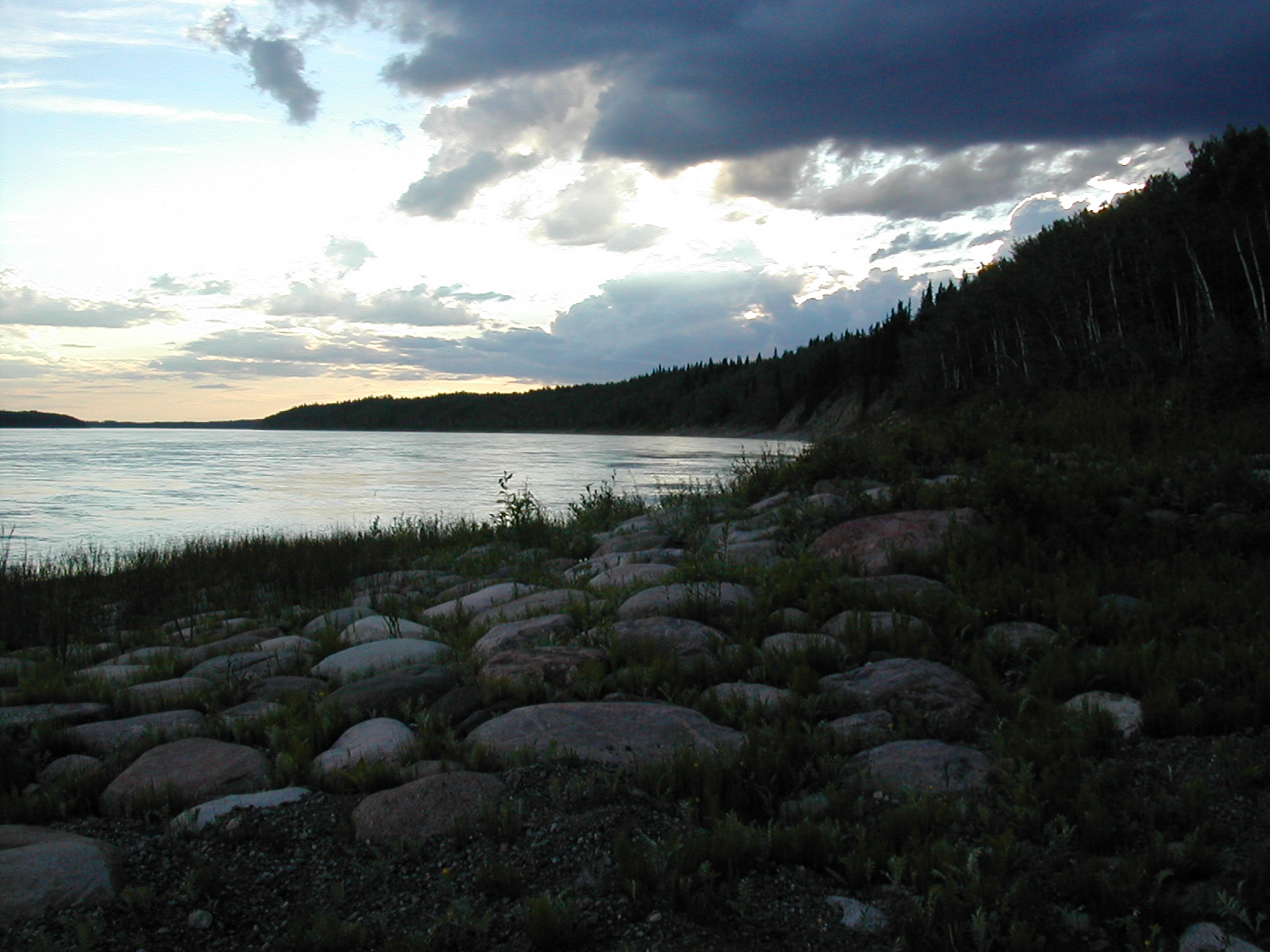
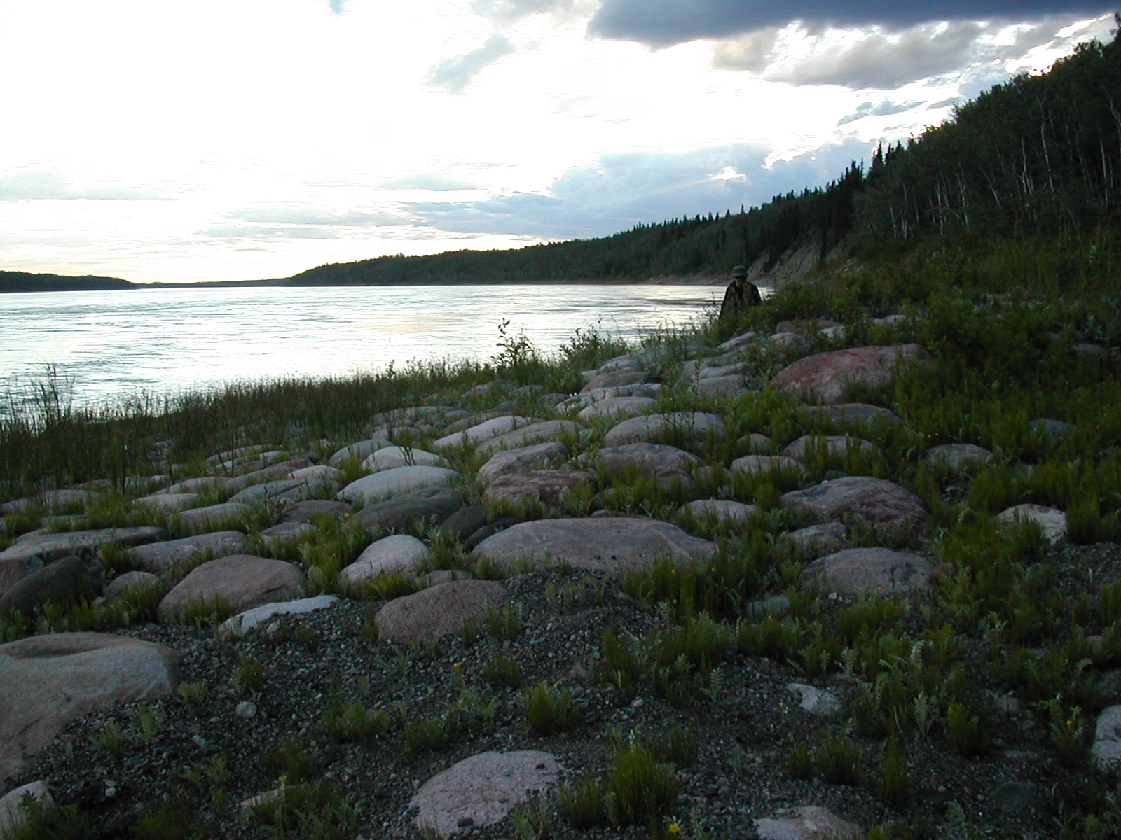
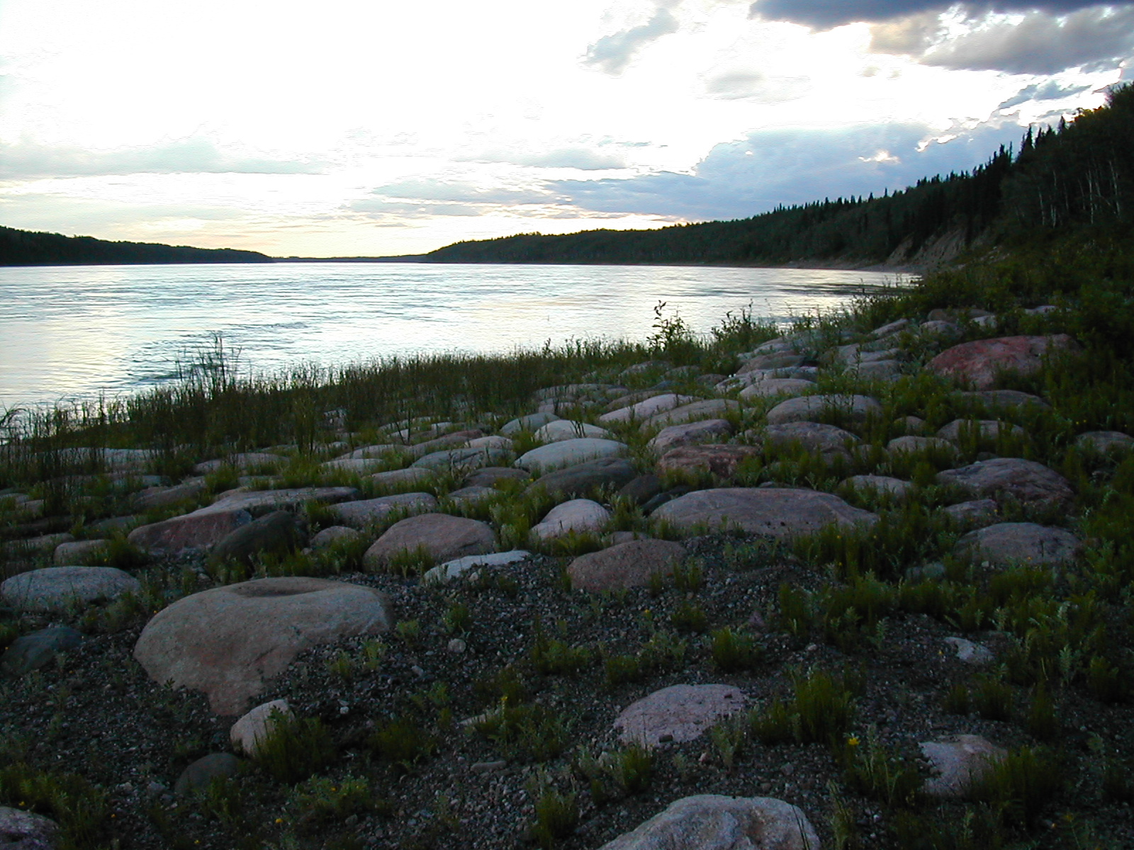
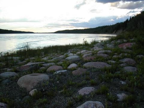
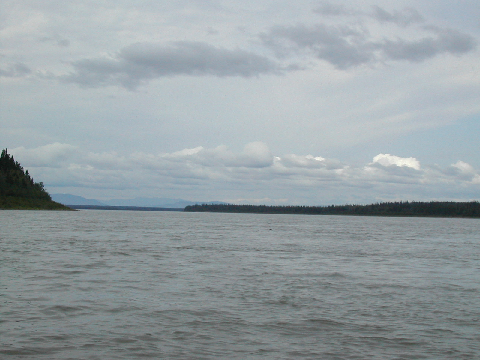
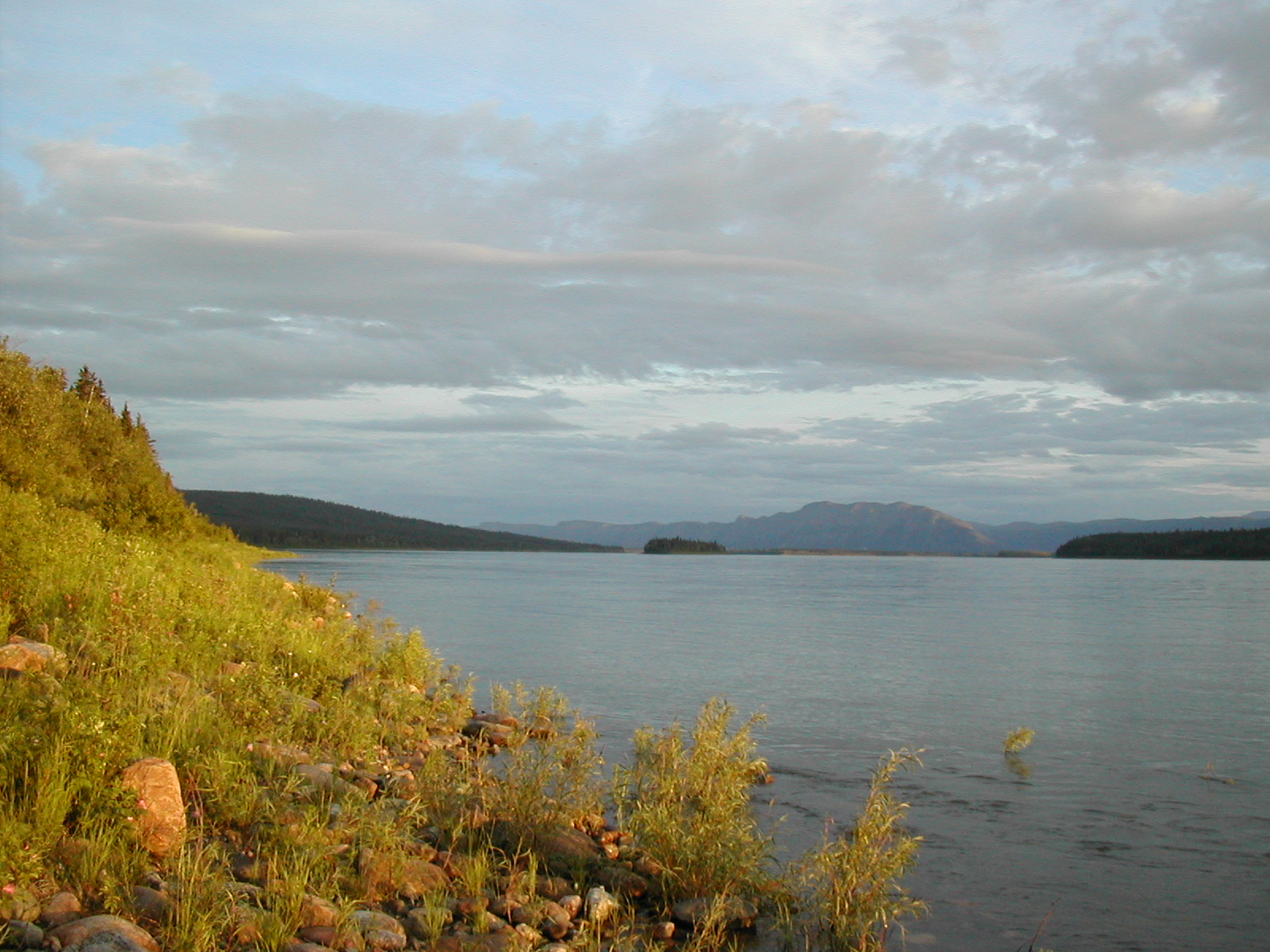
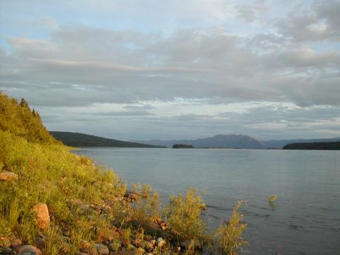
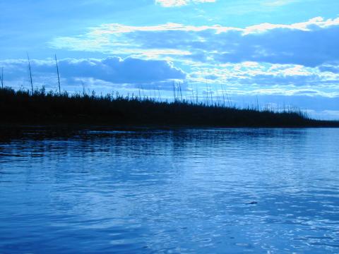
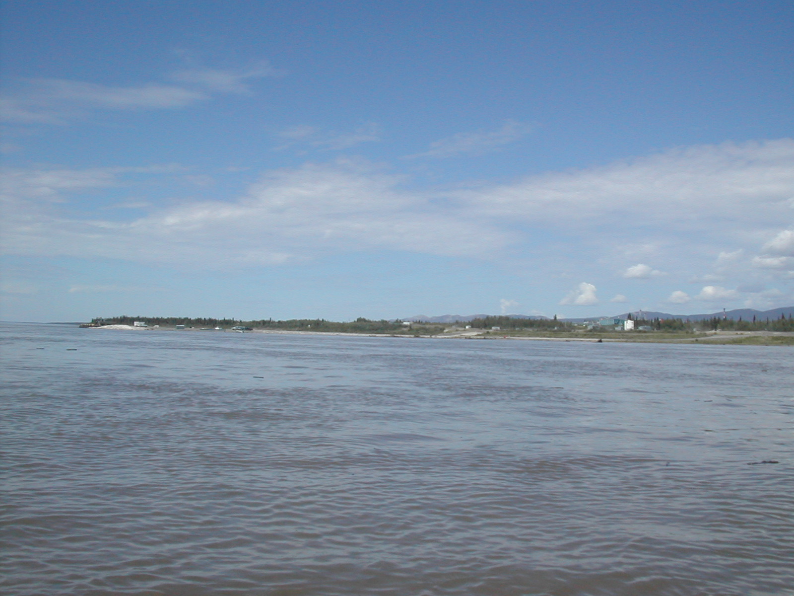
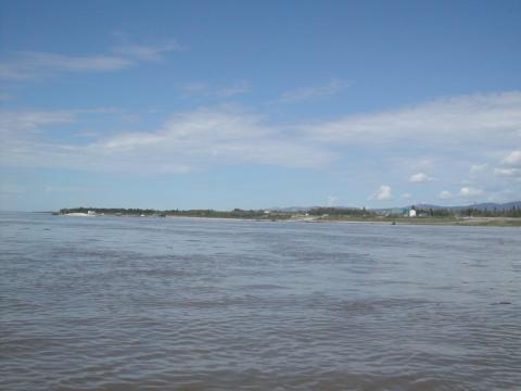
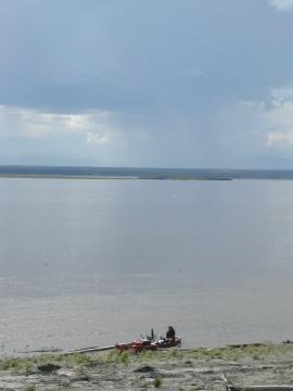
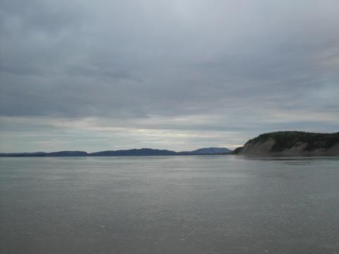
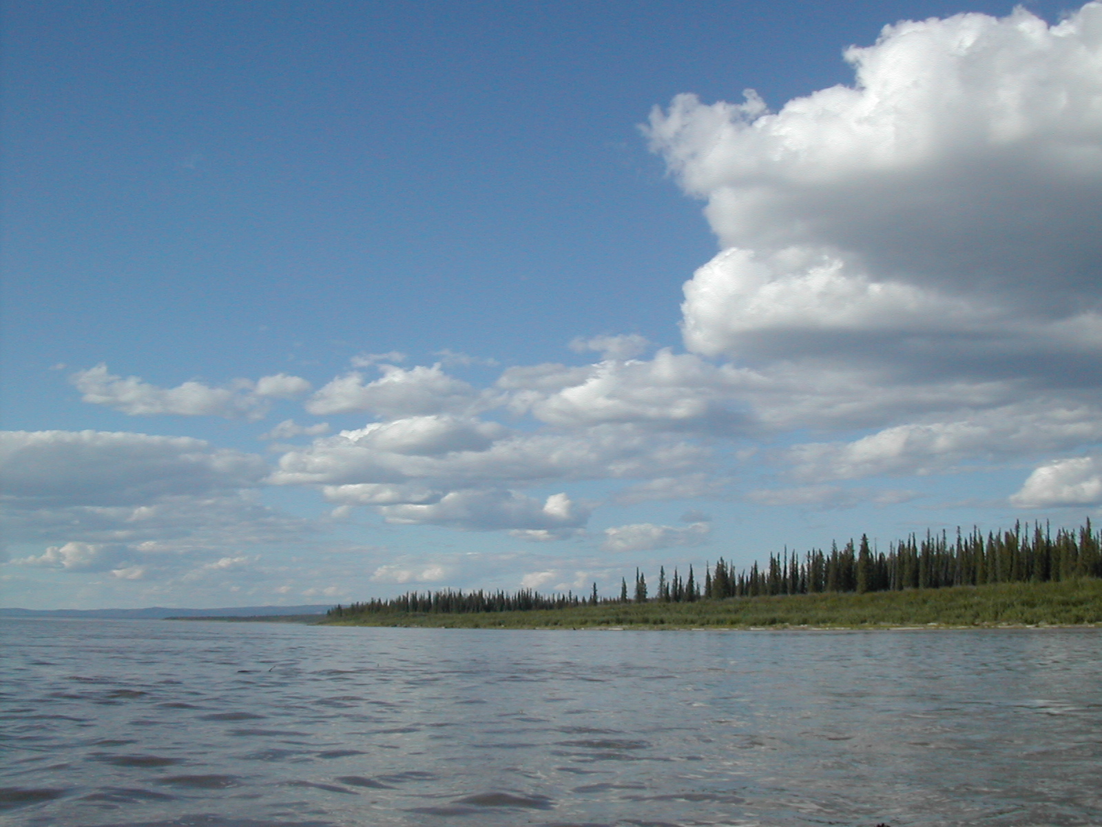
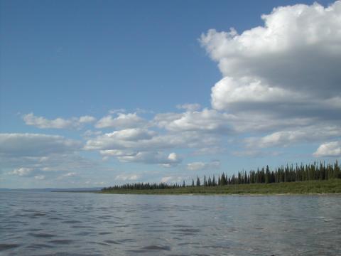
| 1185586589.JPG | 1185586589-pv.JPG | Shore of the Great Slave Lake, around 3:30 | mrd |
| 1185586614.JPG | 1185586614-pv.JPG | Shore of the Great Slave Lake, around 3:30 | mrd |
| 1185586639.JPG | 1185586639-pv.JPG | Shore of the Great Slave Lake, around 3:30 | mrd |
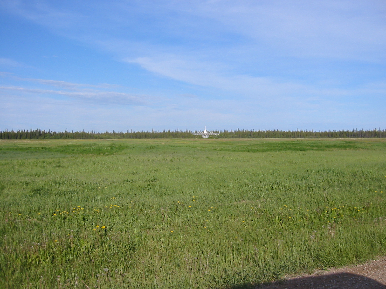
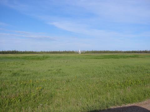
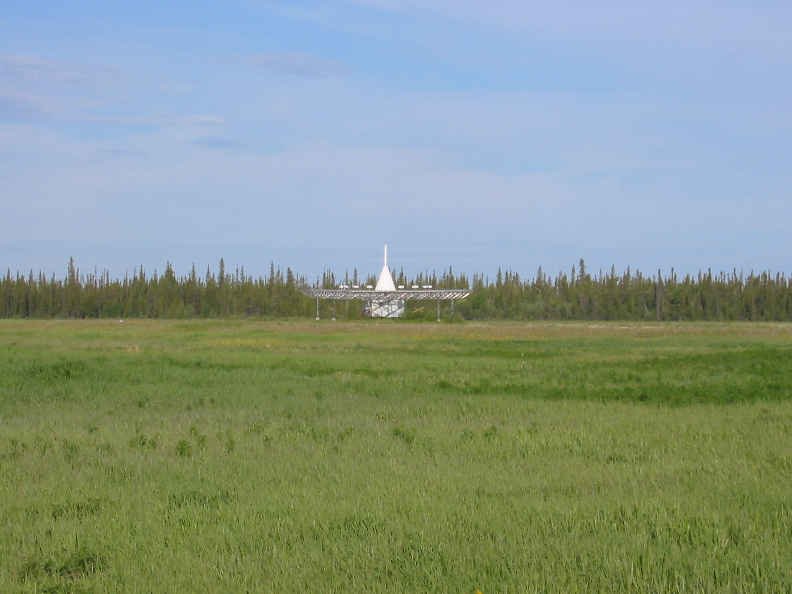
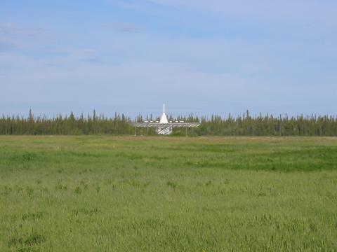
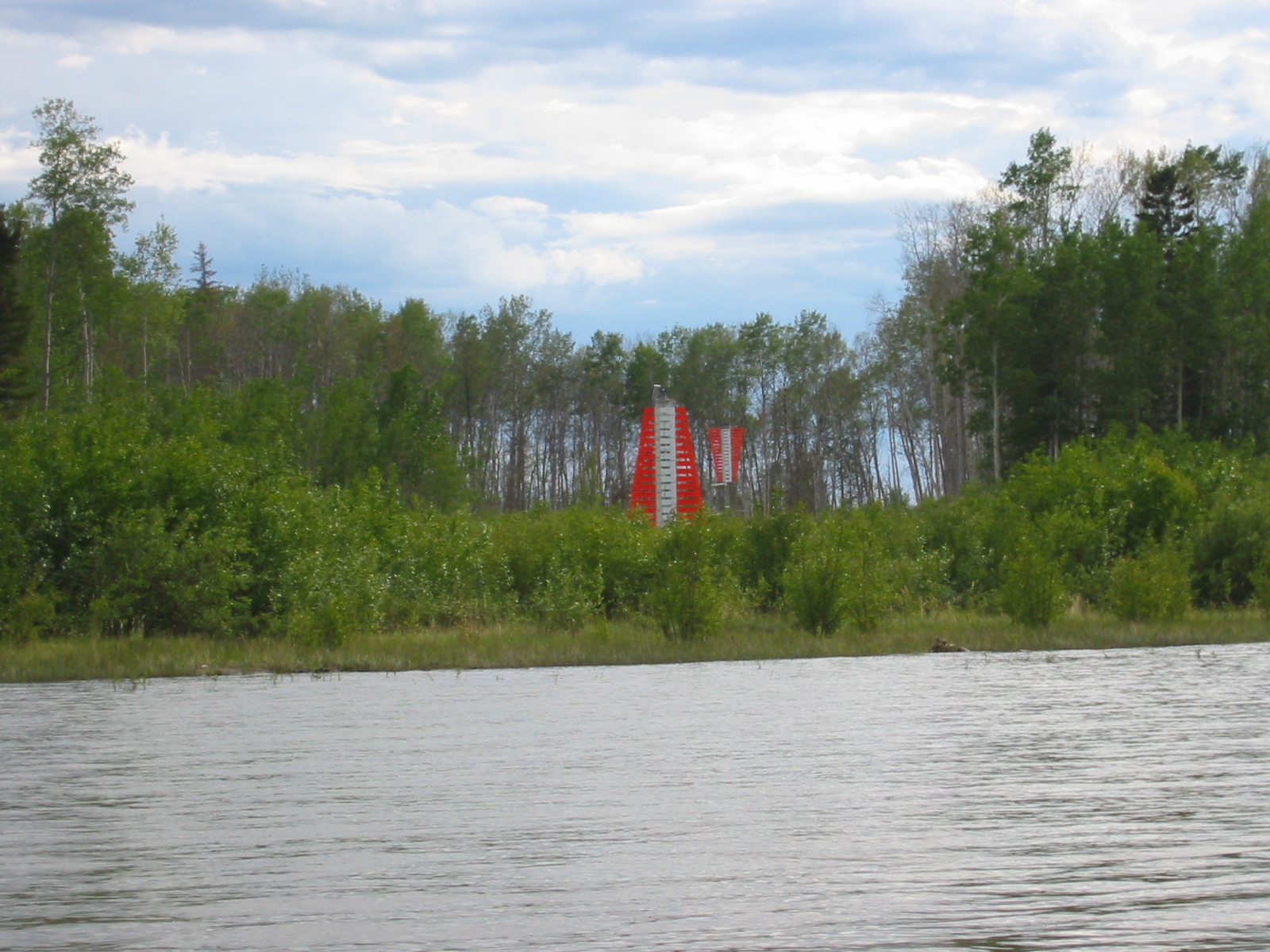
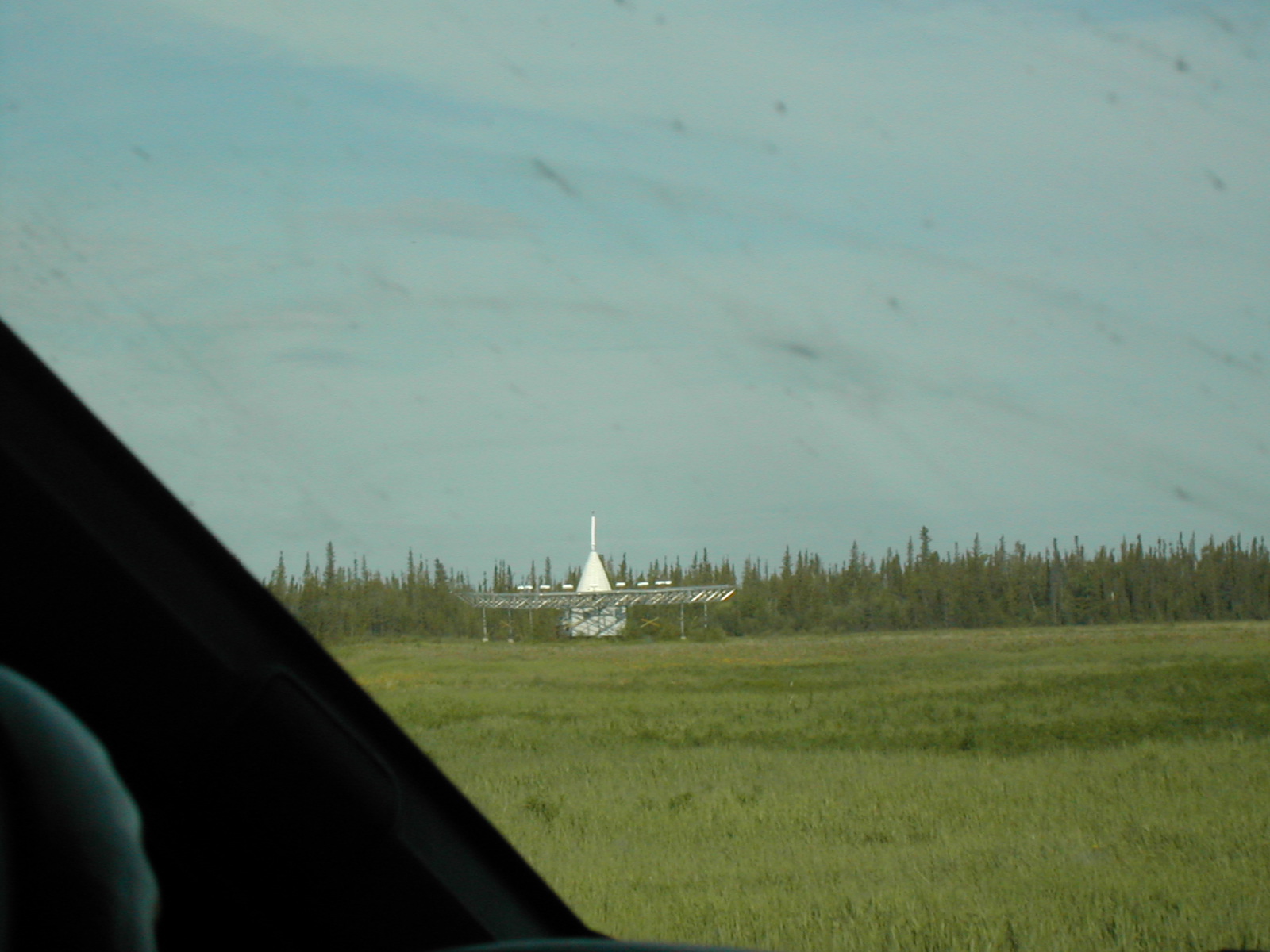
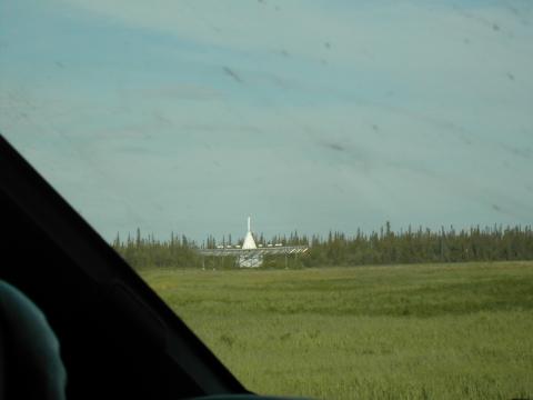
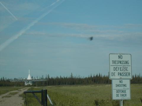
| 1185586747.JPG | 1185586747-pv.JPG | VOR antenna at Hay River | mrd |
| 1185586797.JPG | 1185586797-pv.JPG | VOR antenna at Hay River | mrd |
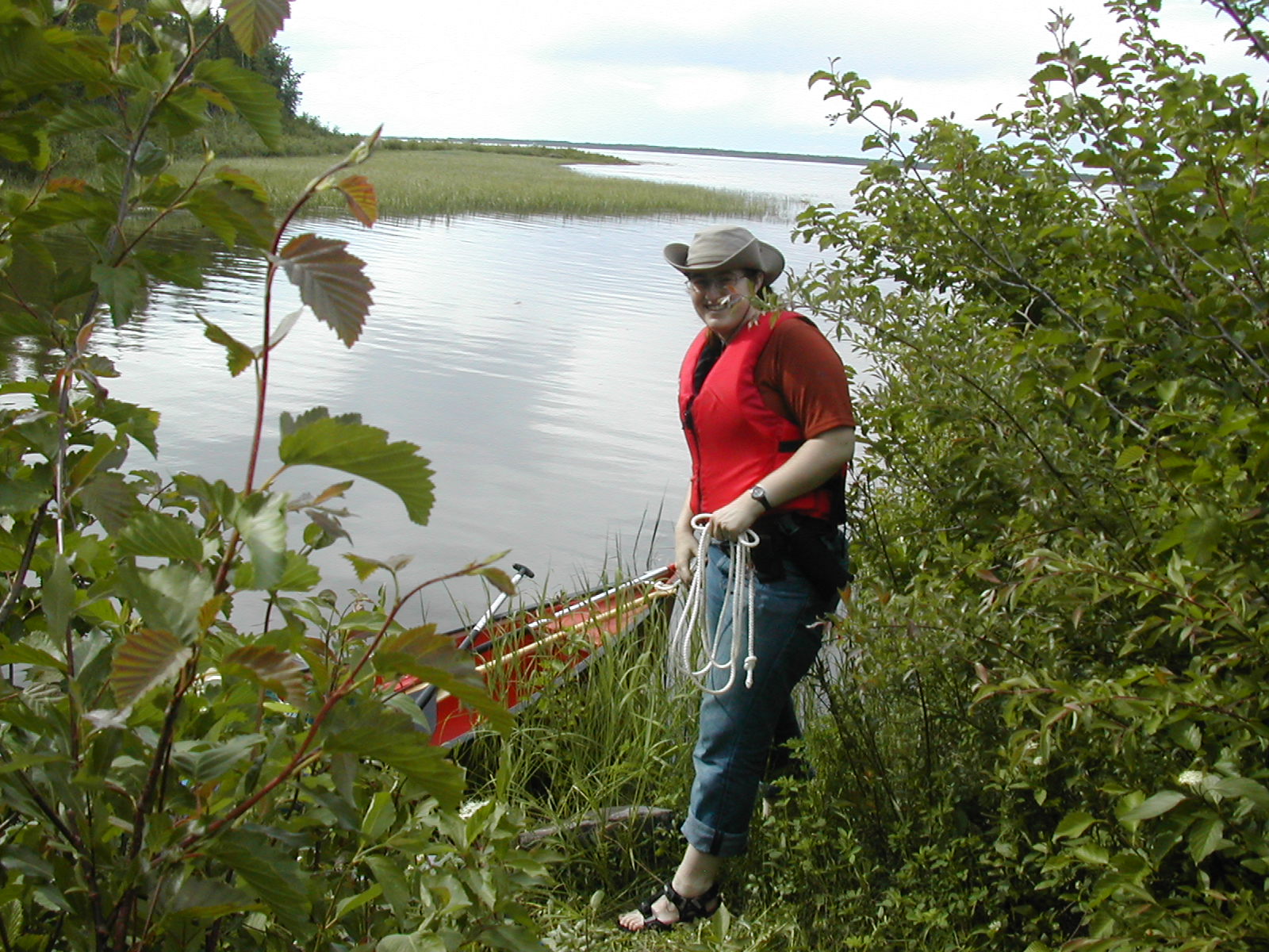
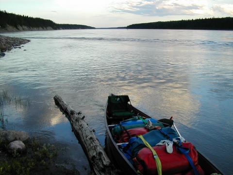
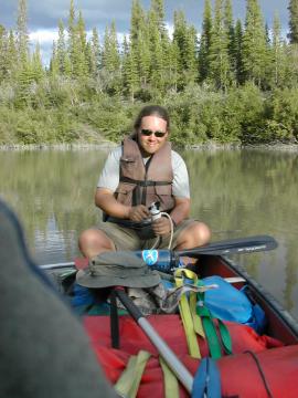
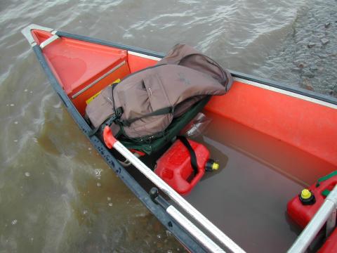
| 1185586849.JPG | 1185586849-pv.JPG | Fish and Ari in front of unloaded gear at Dory Point | mrd |
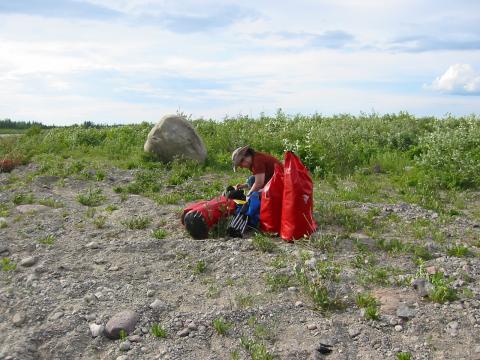
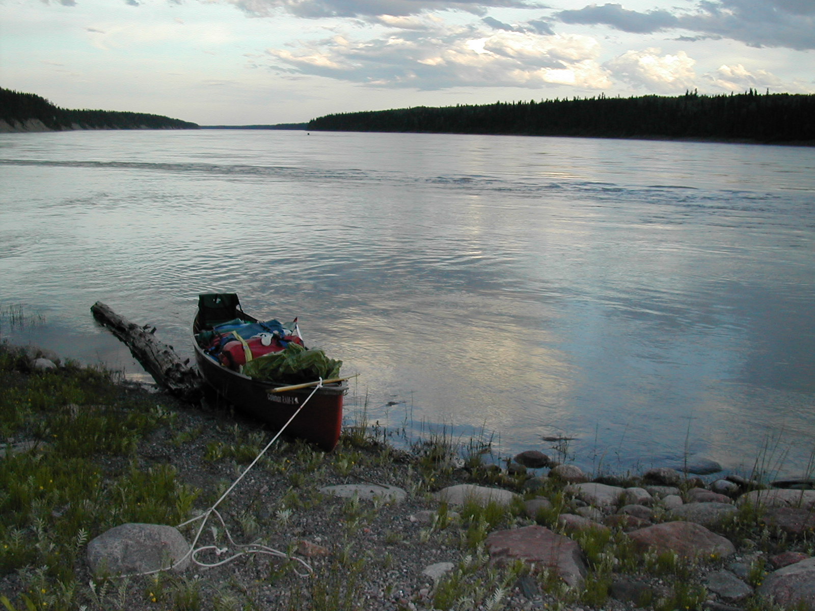
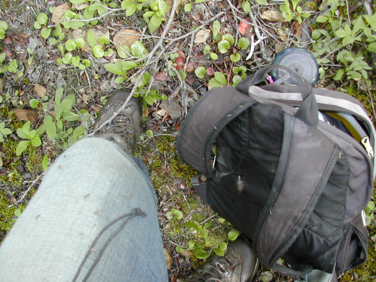
| 1185586888.JPG | 1185586888-pv.JPG | Ari with gear being staged next to the river | mrd |
| 1185586907.JPG | 1185586907-pv.JPG | Ari with gear being staged next to the river | mrd |
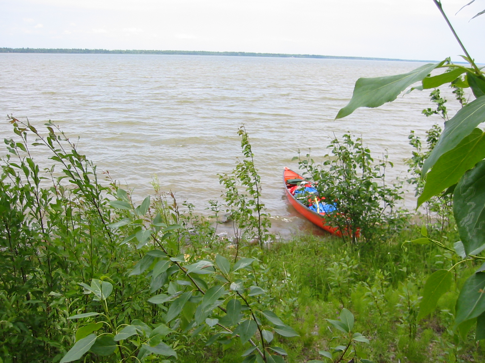
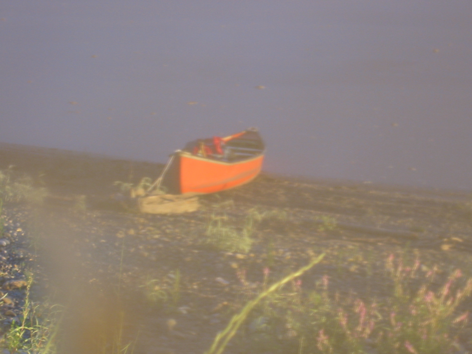
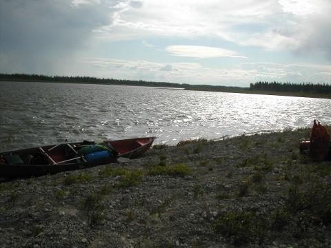
| 1185587019.JPG | 1185587019-pv.JPG | Canoe beached on Gravel Island during our first williwah, day 1 | mrd |
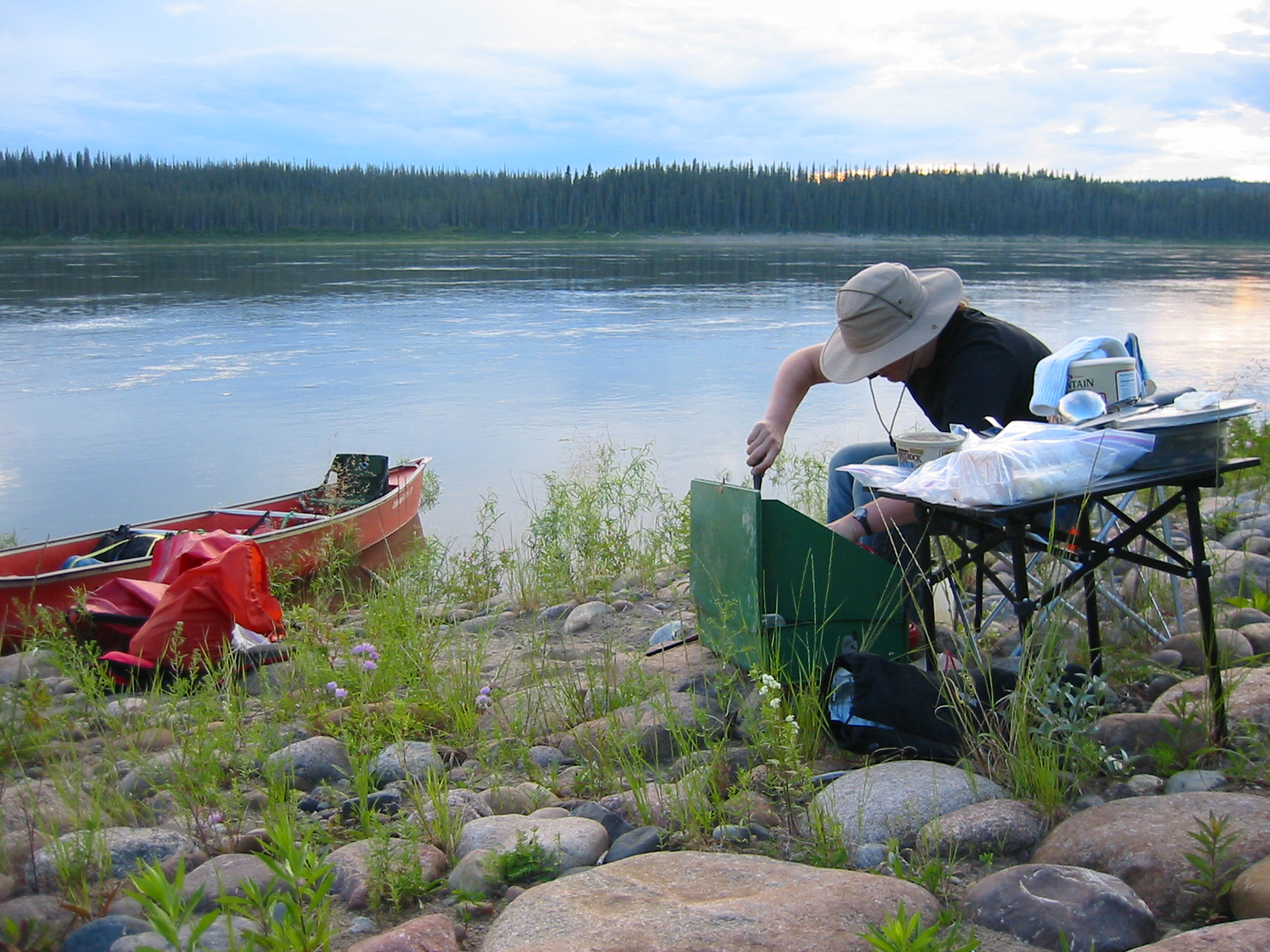
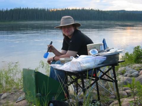
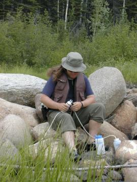
| 1185587288.JPG | 1185587288-pv.JPG | Ari making tea on Gravel Island | mrd |
| 1185587424.JPG | 1185587424-pv.JPG | Ari making tea on Gravel Island | mrd |
| 1185587446.JPG | 1185587446-pv.JPG | Ari making tea on Gravel Island | mrd |
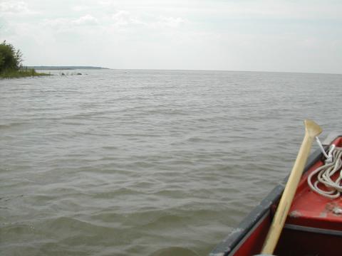
| 1185587566.JPG | 1185587566-pv.JPG | View along the canoe to a truck at the Fort Providence landing | mrd |
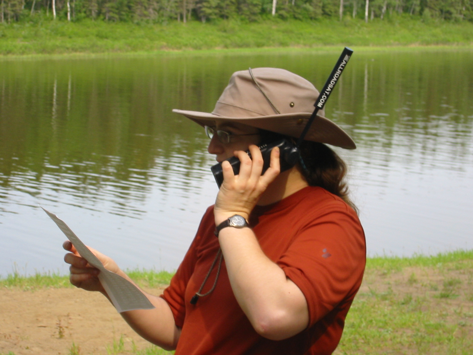
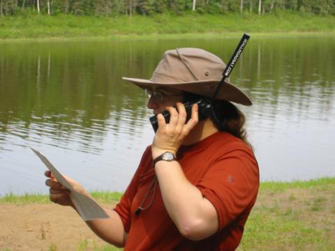
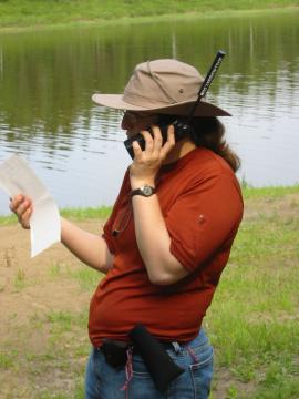
| 1185587627.JPG | 1185587627-pv.JPG | Ari on the satphone at the Fort Providence campground | mrd |
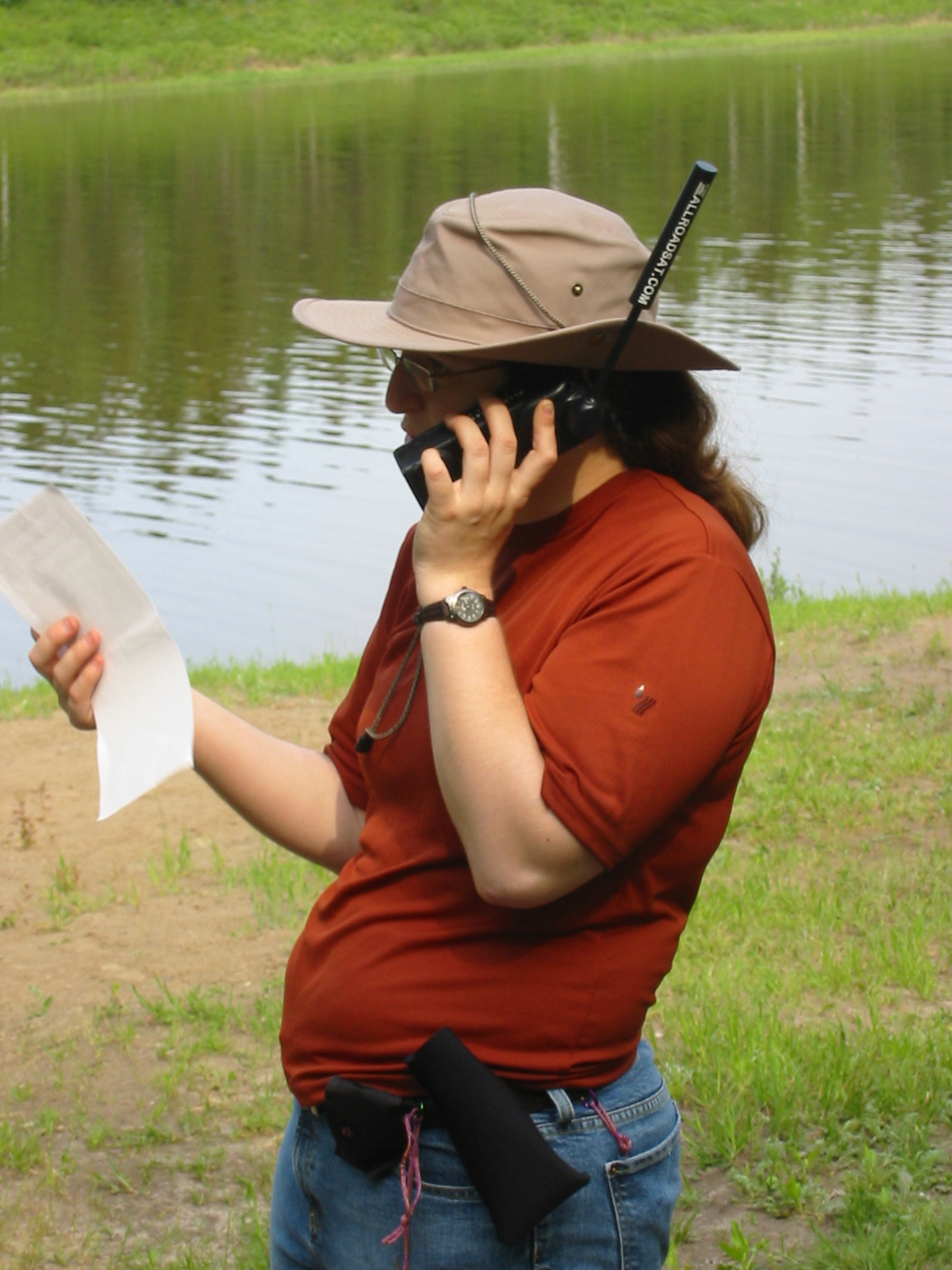
| 1185587644.JPG | 1185587644-pv.JPG | Ari on the satphone at the Fort Providence campground | mrd |
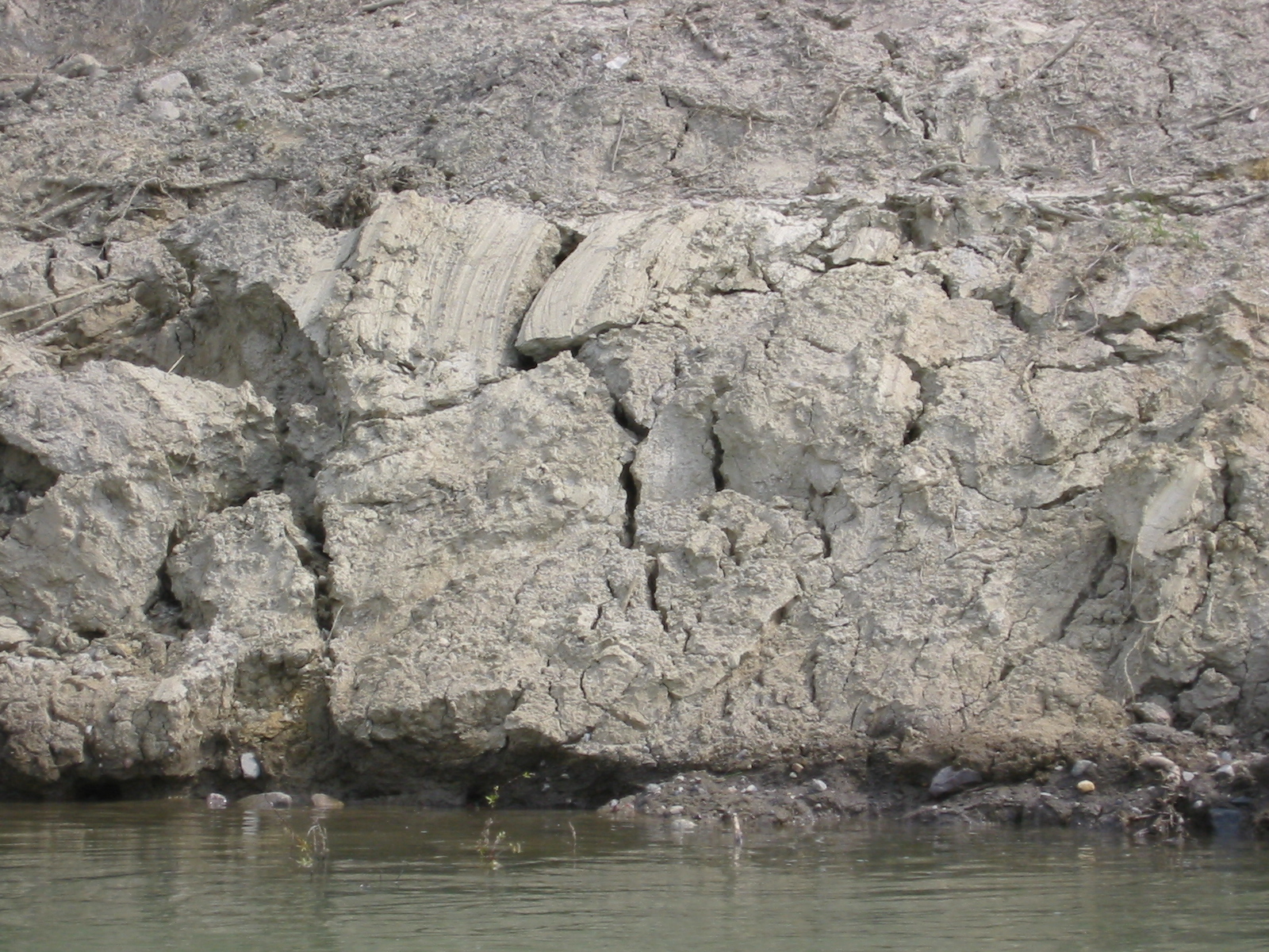
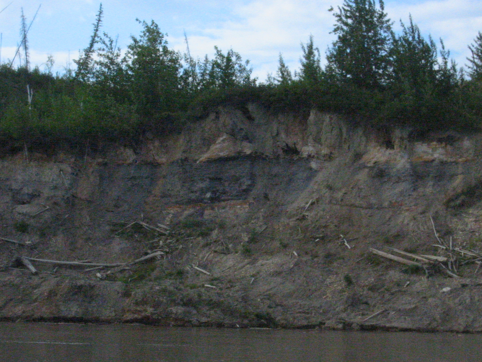
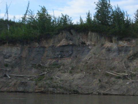
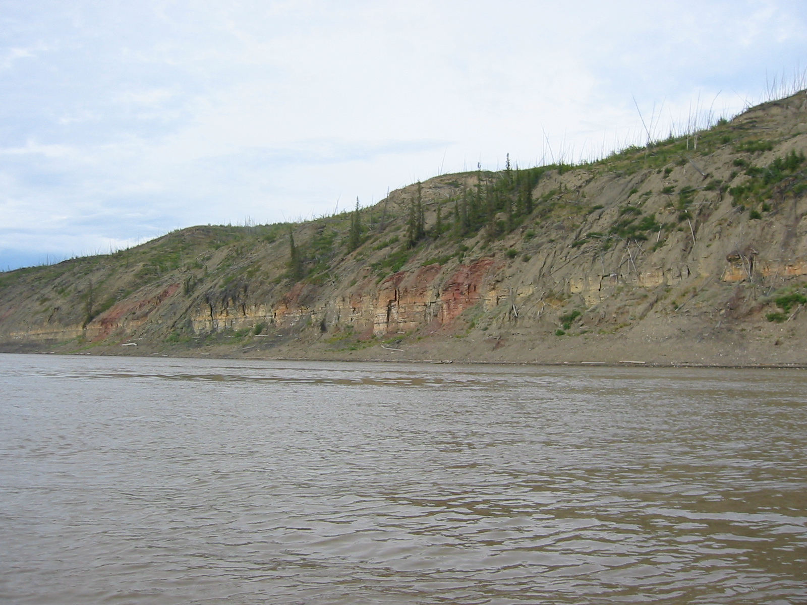
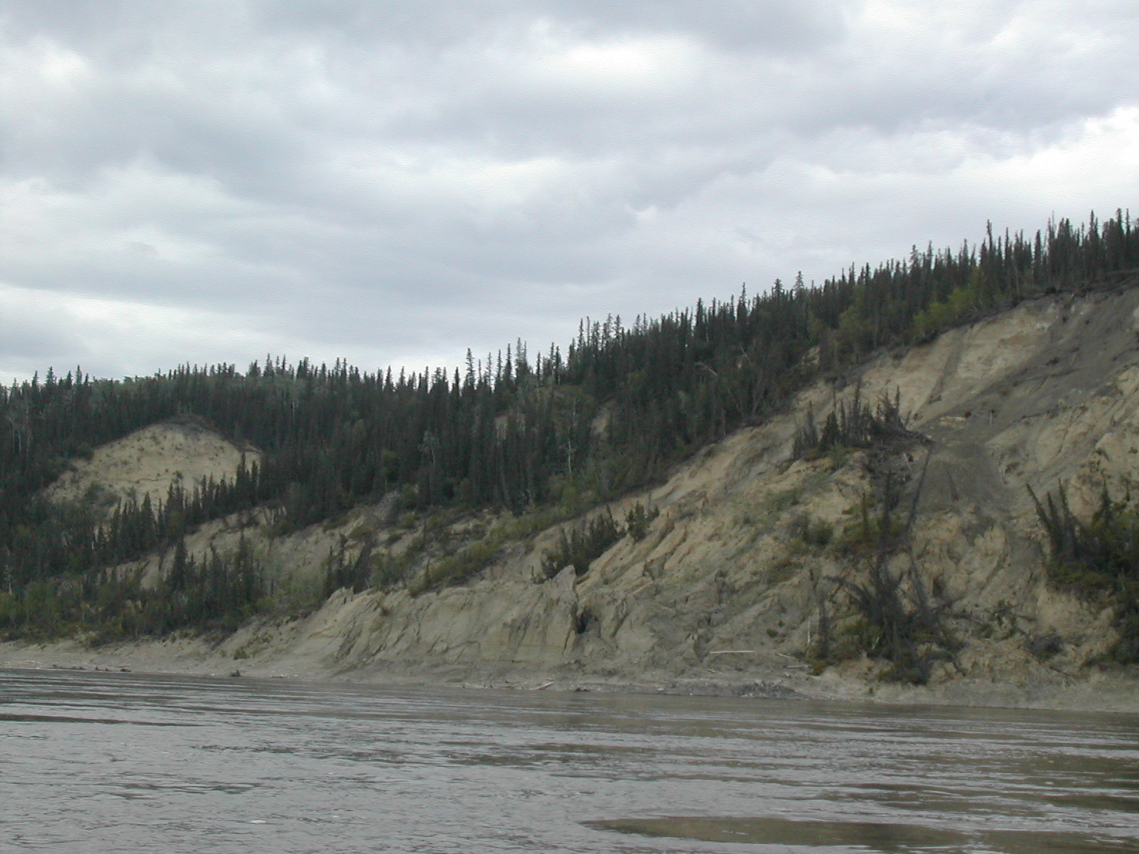
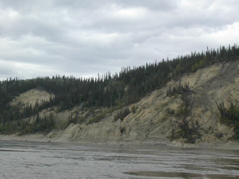
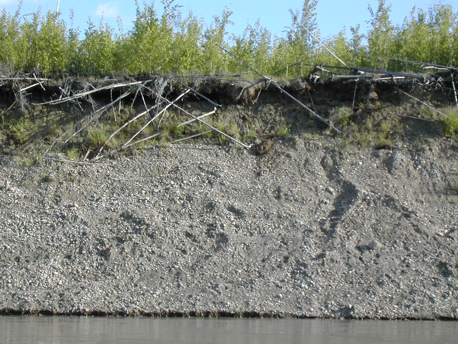
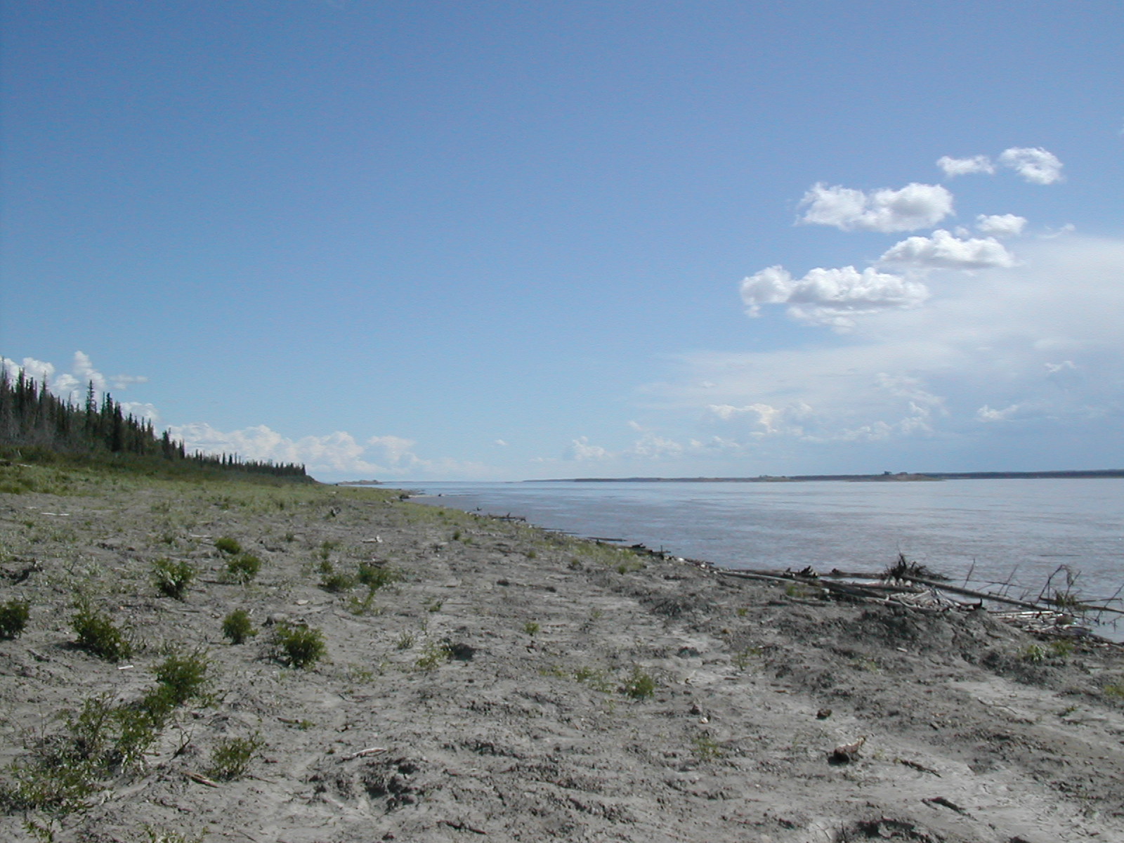
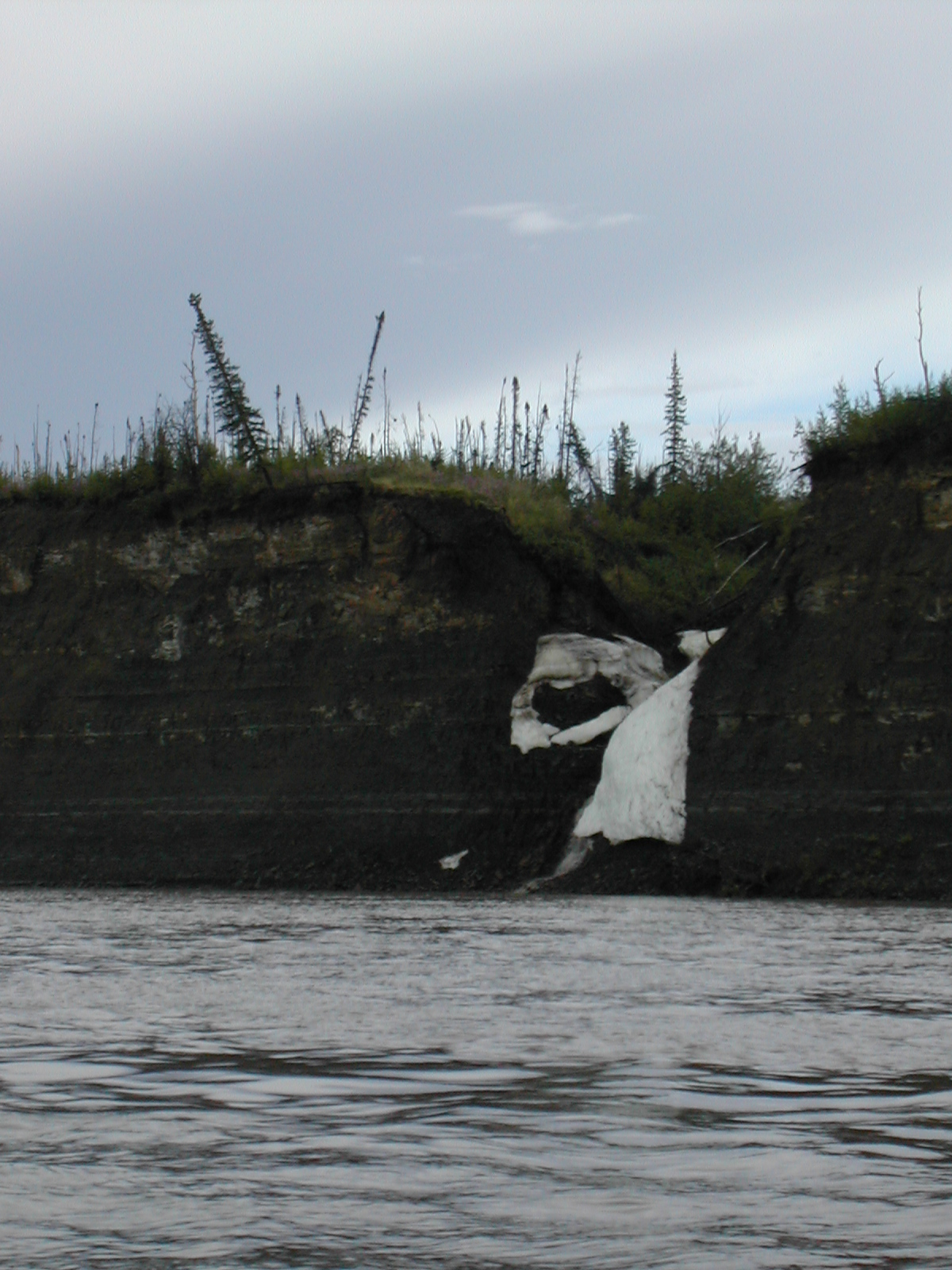
| 1185587863.JPG | 1185587863-pv.JPG | Shoreline near Fort Providence showing ice scaring | mrd |
| 1185587905.JPG | 1185587905-pv.JPG | View along canoe next to ice-scared shoreline, day 2 | mrd |
| 1185587937.JPG | 1185587937-pv.JPG | View along canoe with jeans drying, next to ice-scared shoreline, day 2 | mrd |
| 1185587962.JPG | 1185587962-pv.JPG | Shoreline near Fort Providence showing ice scaring | mrd |
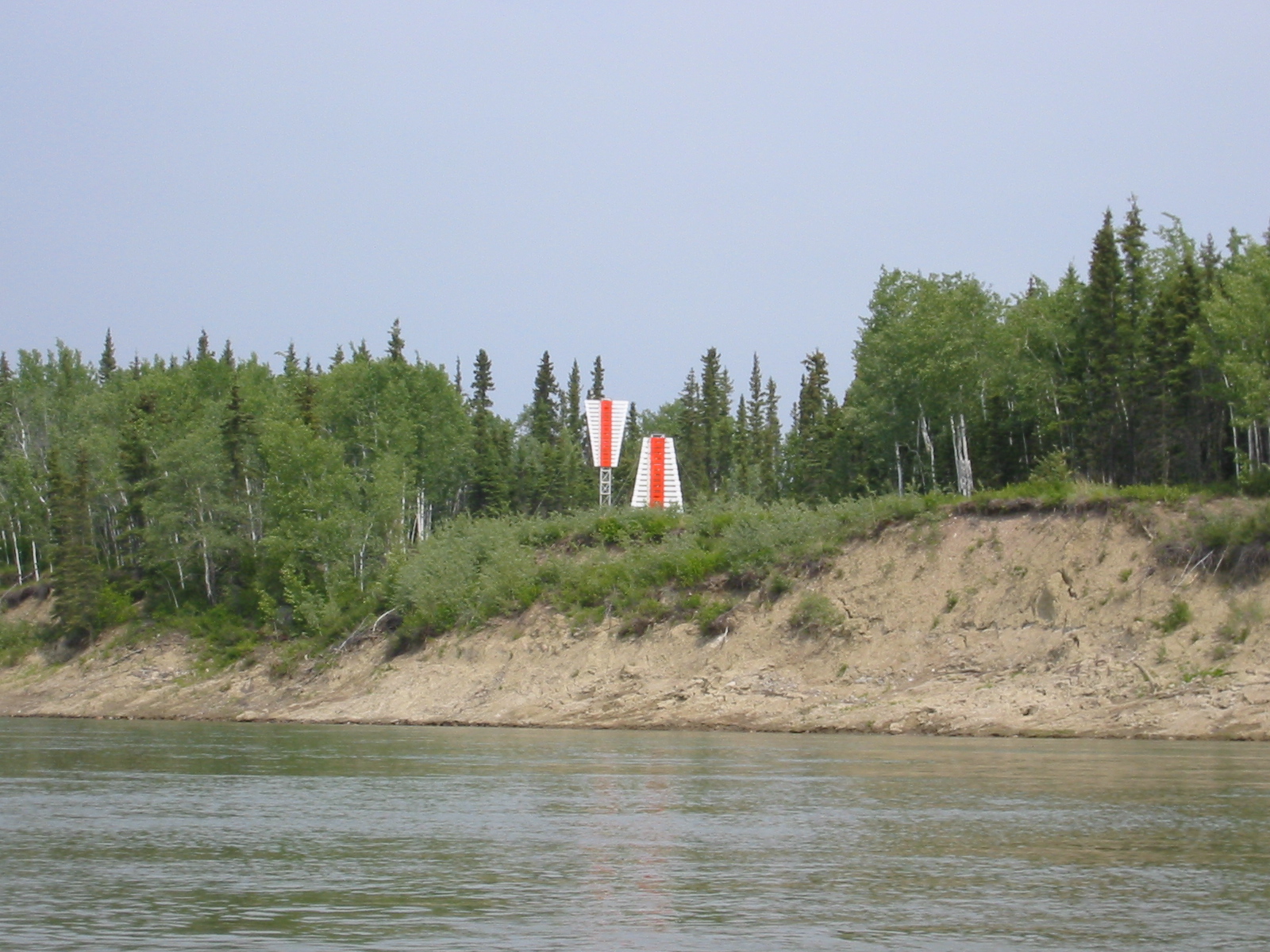
| 1185587993.JPG | 1185587993-pv.JPG | River marker pairs along the shoreline | mrd |
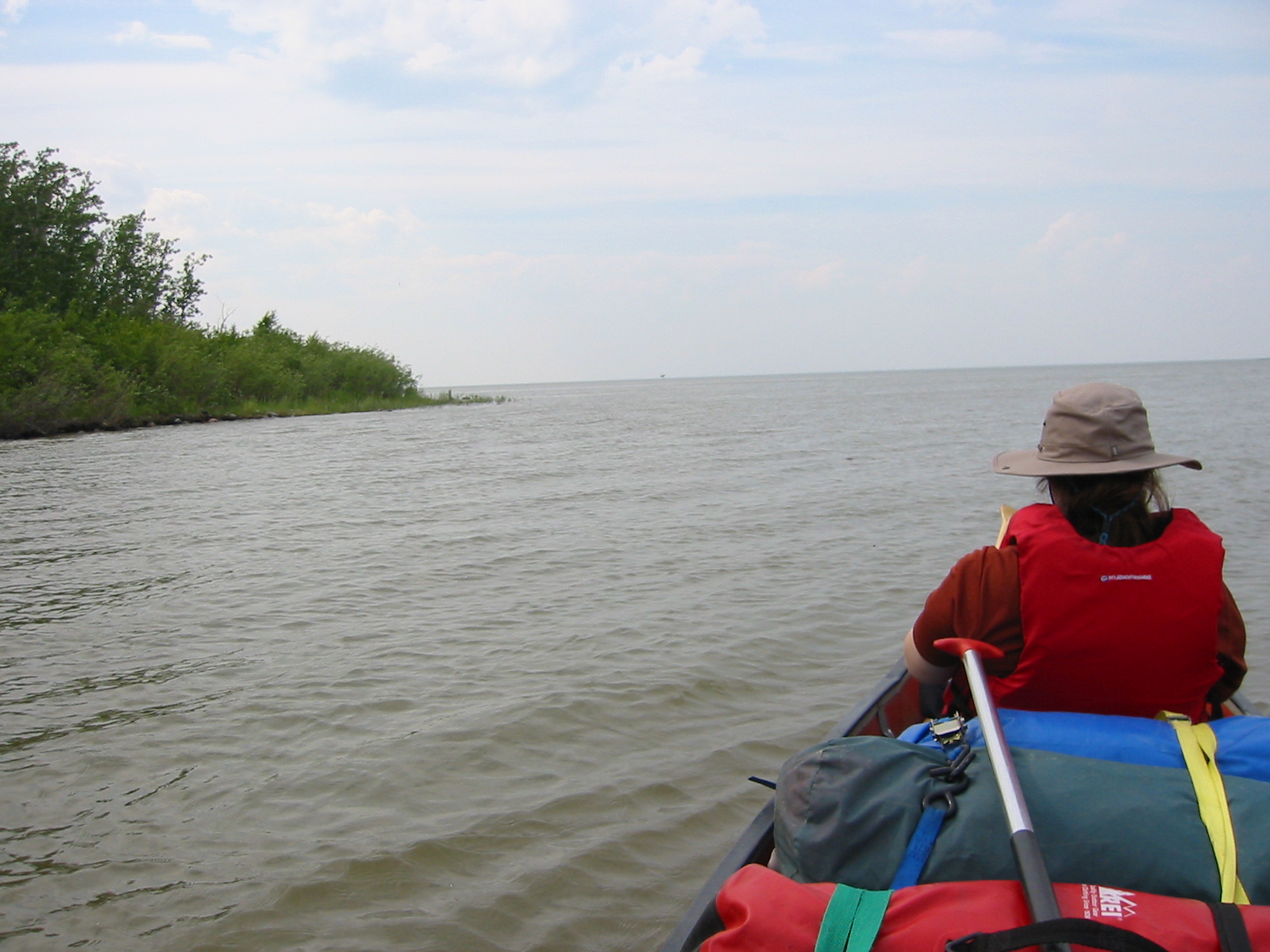
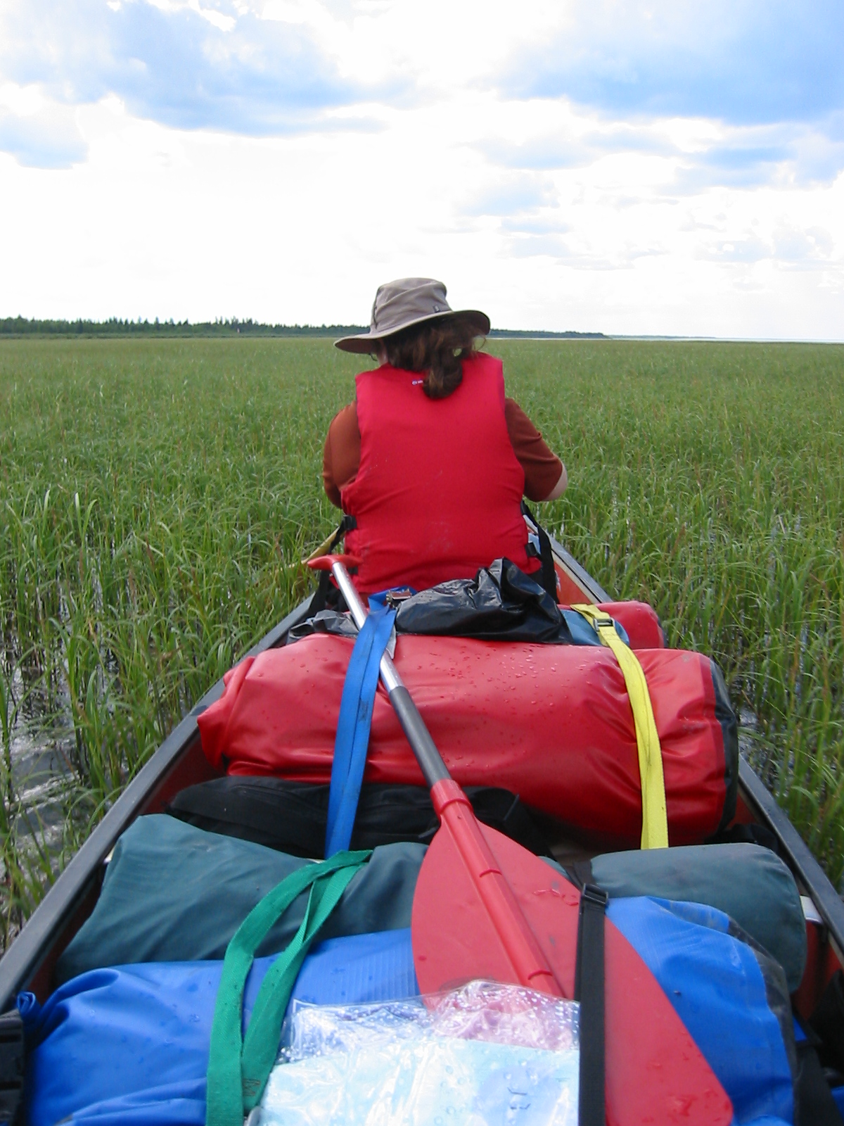
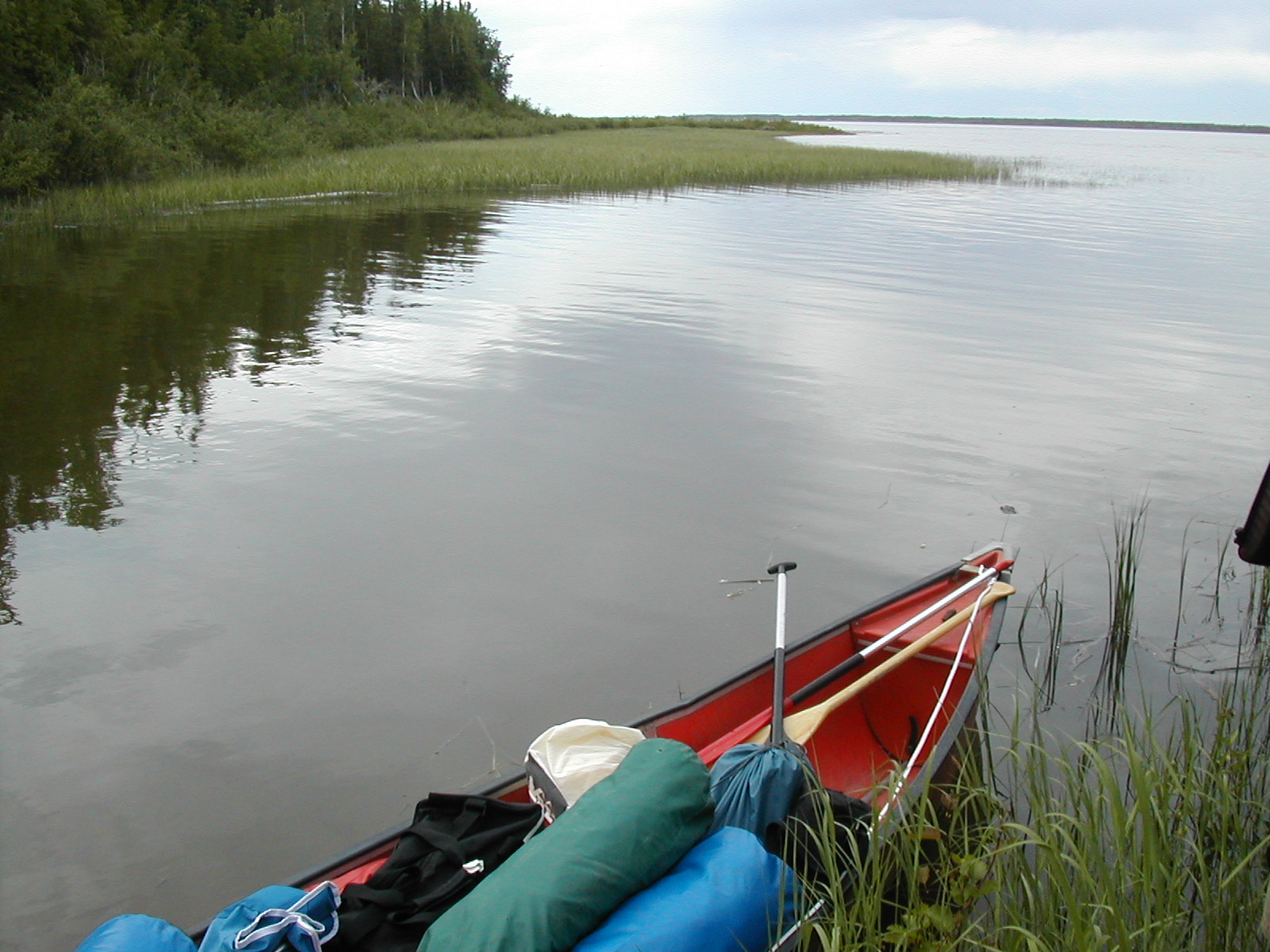
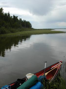
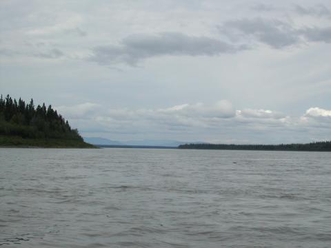
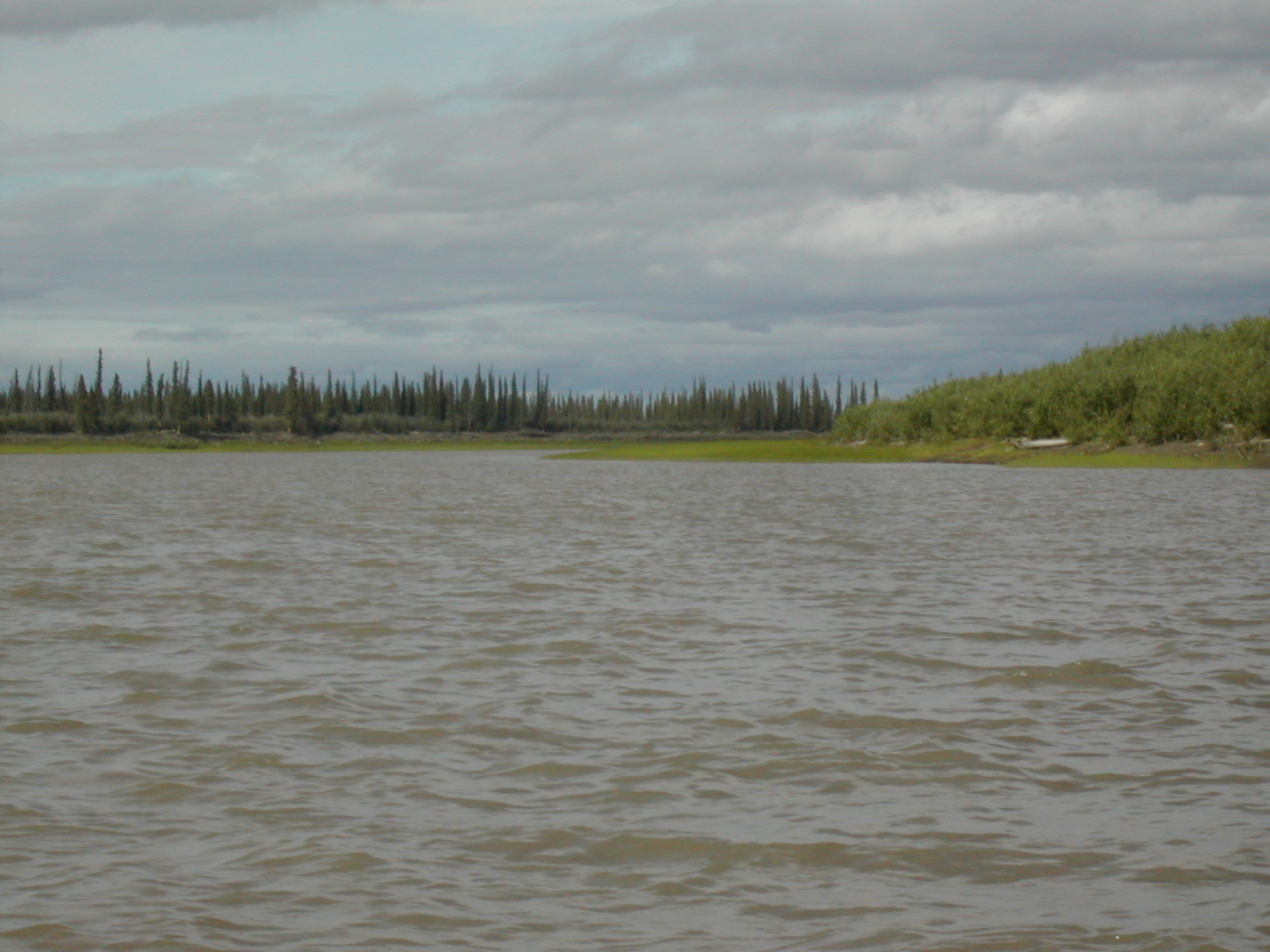
| 1185588024.JPG | 1185588024-pv.JPG | View along canoe in Mills Lake | mrd |
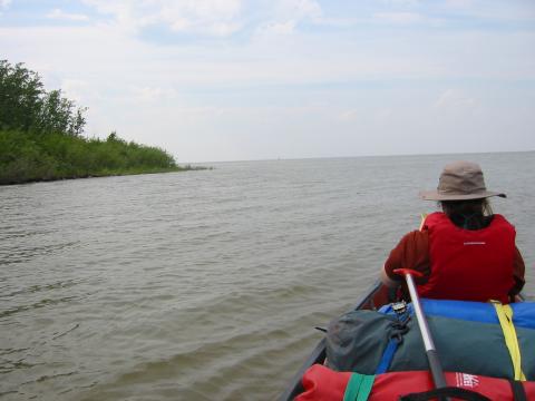
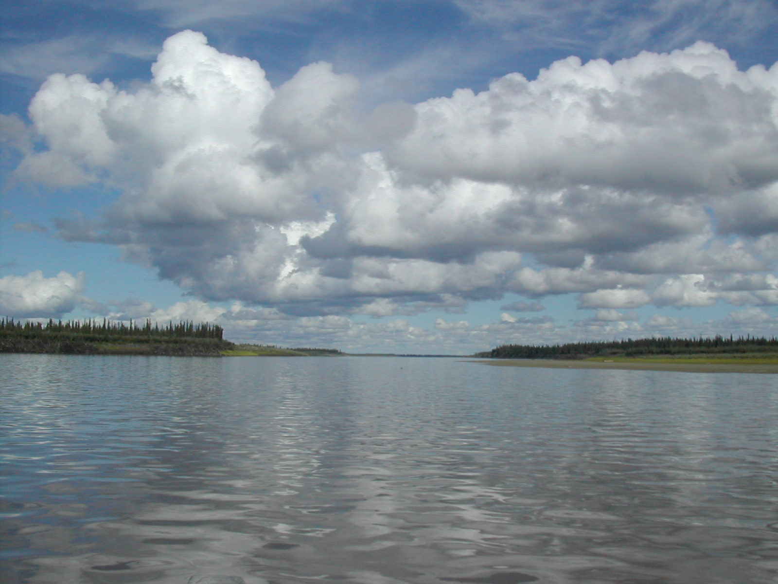
| 1185588045.JPG | 1185588045-pv.JPG | Looking into Mills Lake, day 2 | mrd |
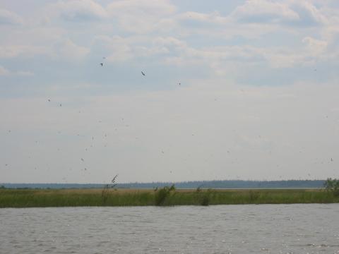
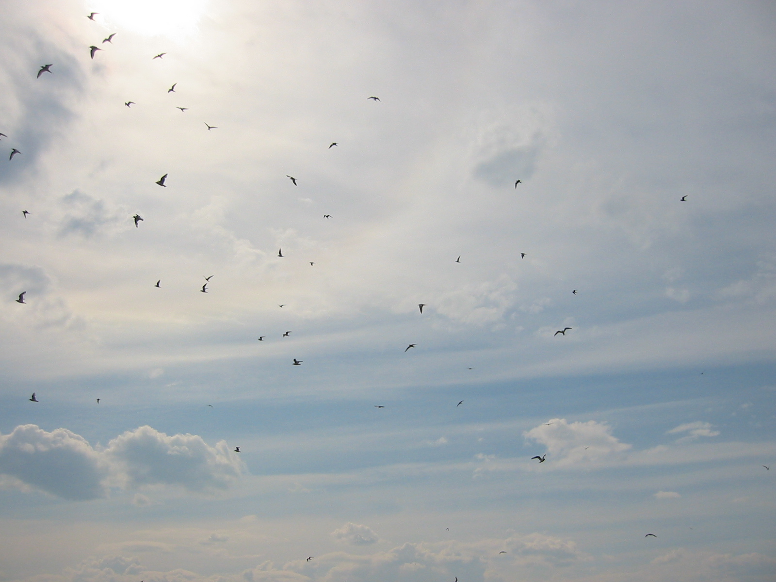
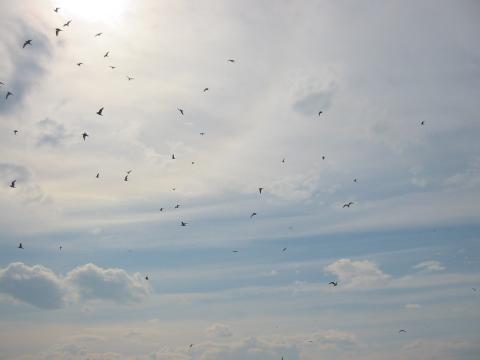
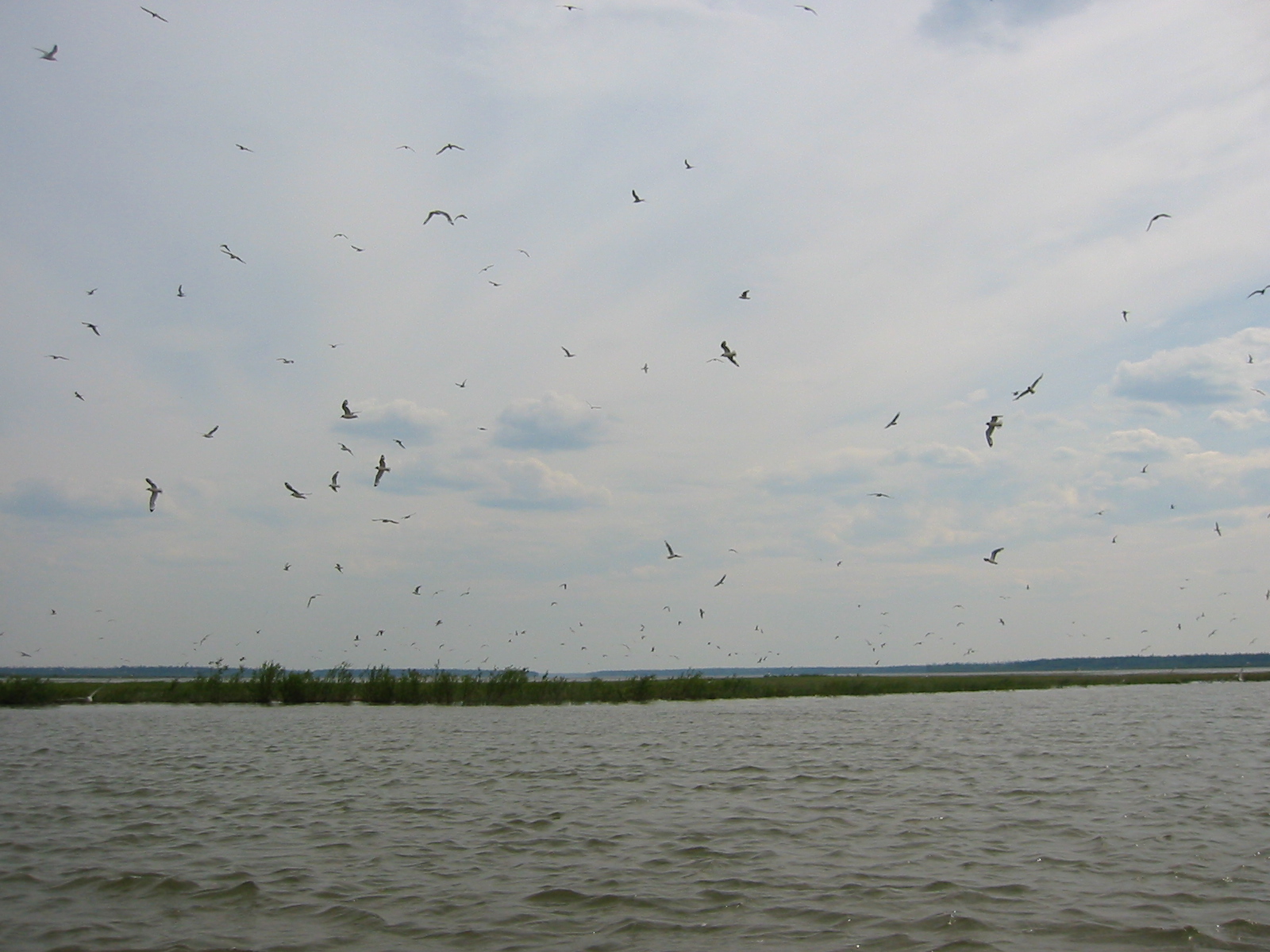
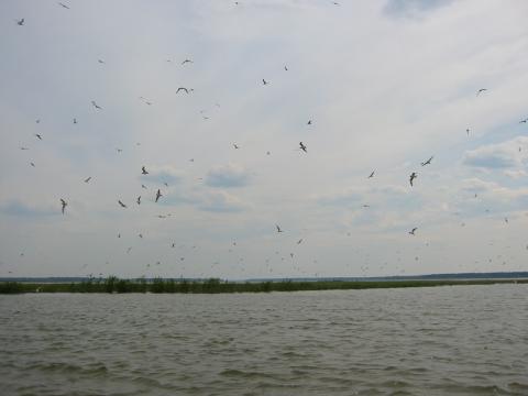
| 1185588252.JPG | 1185588252-pv.JPG | Flocking gulls over Mills Lake, shortly before dive-bombing us | mrd |
| 1185588270.JPG | 1185588270-pv.JPG | Flocking gulls over Mills Lake, shortly before dive-bombing us | mrd |
| 1185588290.JPG | 1185588290-pv.JPG | Flocking gulls over Mills Lake, shortly before dive-bombing us | mrd |
| 1185588310.JPG | 1185588310-pv.JPG | Flocking gulls over Mills Lake, shortly before dive-bombing us | mrd |
| 1185588325.JPG | 1185588325-pv.JPG | Flocking gulls over Mills Lake, shortly before dive-bombing us | mrd |
| 1185588368.JPG | 1185588368-pv.JPG | Paddling through marshy weeds to escape swells coming off Mills Lake | mrd |
| 1185588417.JPG | 1185588417-pv.JPG | Paddling through marshy weeds to escape swells coming off Mills Lake | mrd |
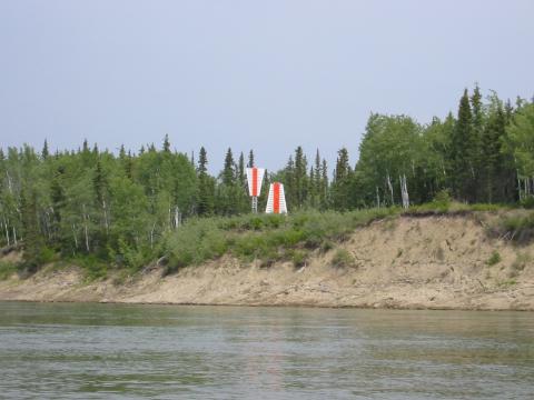
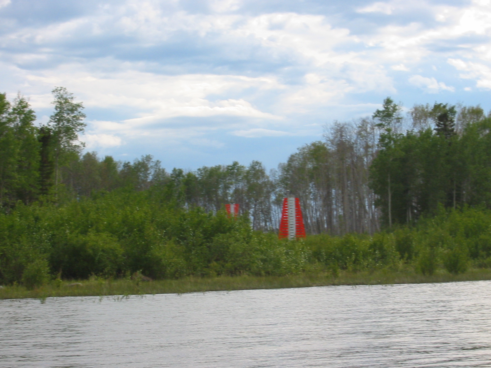
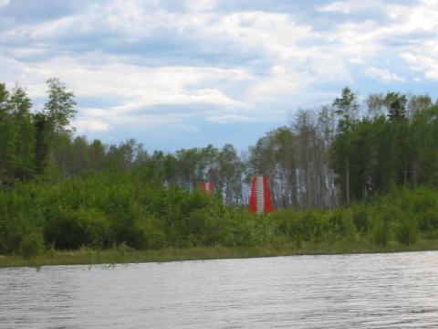
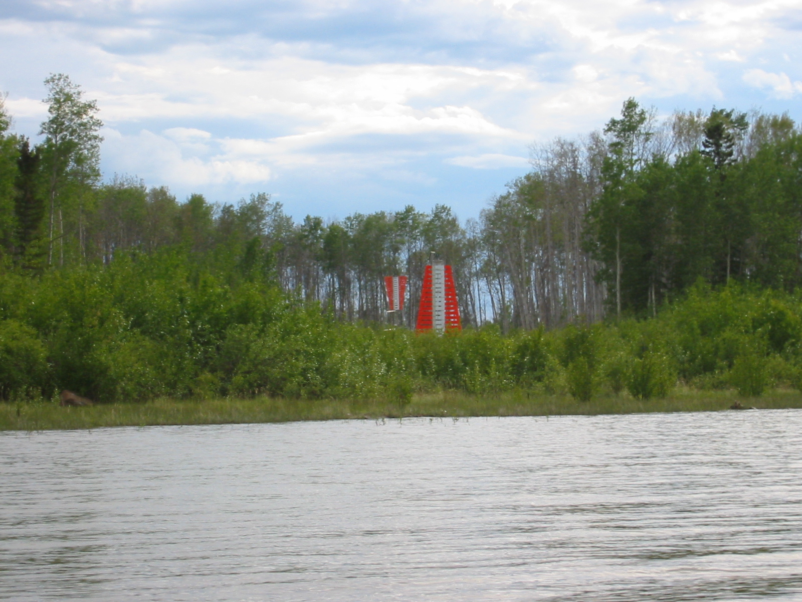
| 1185588833.JPG | 1185588833-pv.JPG | River marker pair | mrd |
| 1185588851.JPG | 1185588851-pv.JPG | River marker pair | mrd |
| 1185588867.JPG | 1185588867-pv.JPG | River marker pair | mrd |
| 1185588948.JPG | 1185588948-pv.JPG | Ari standing on the shore as we land the canoe | mrd |
| 1185588981.JPG | 1185588981-pv.JPG | Ari standing on the shore as we land the canoe | mrd |
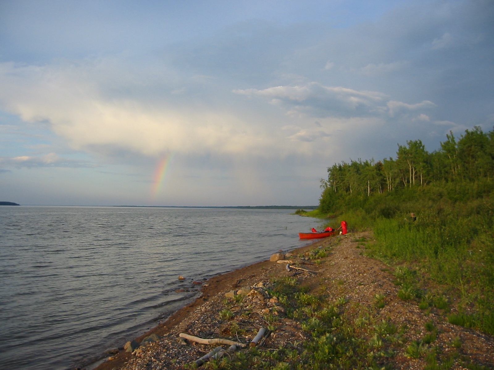
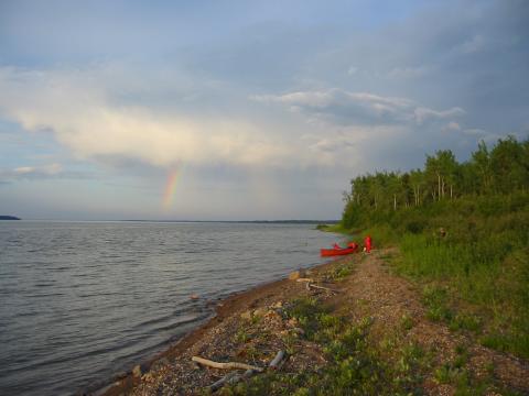
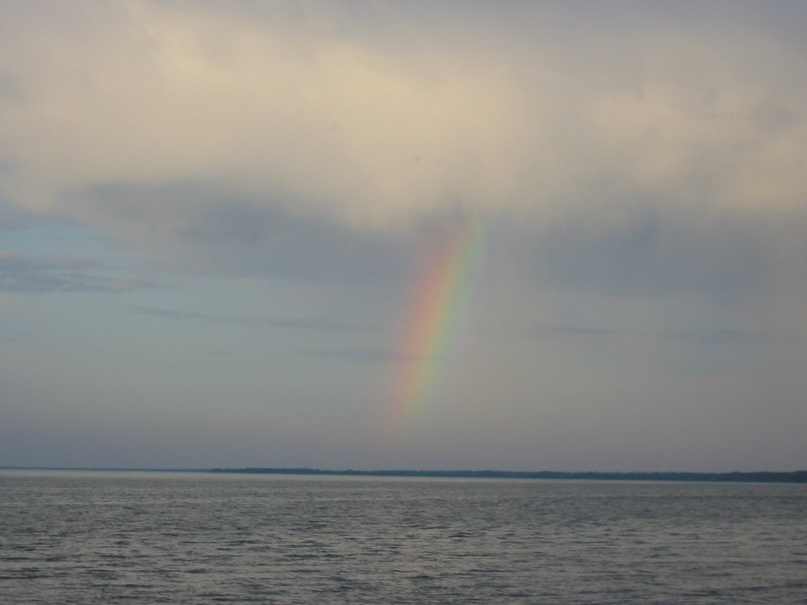
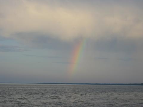
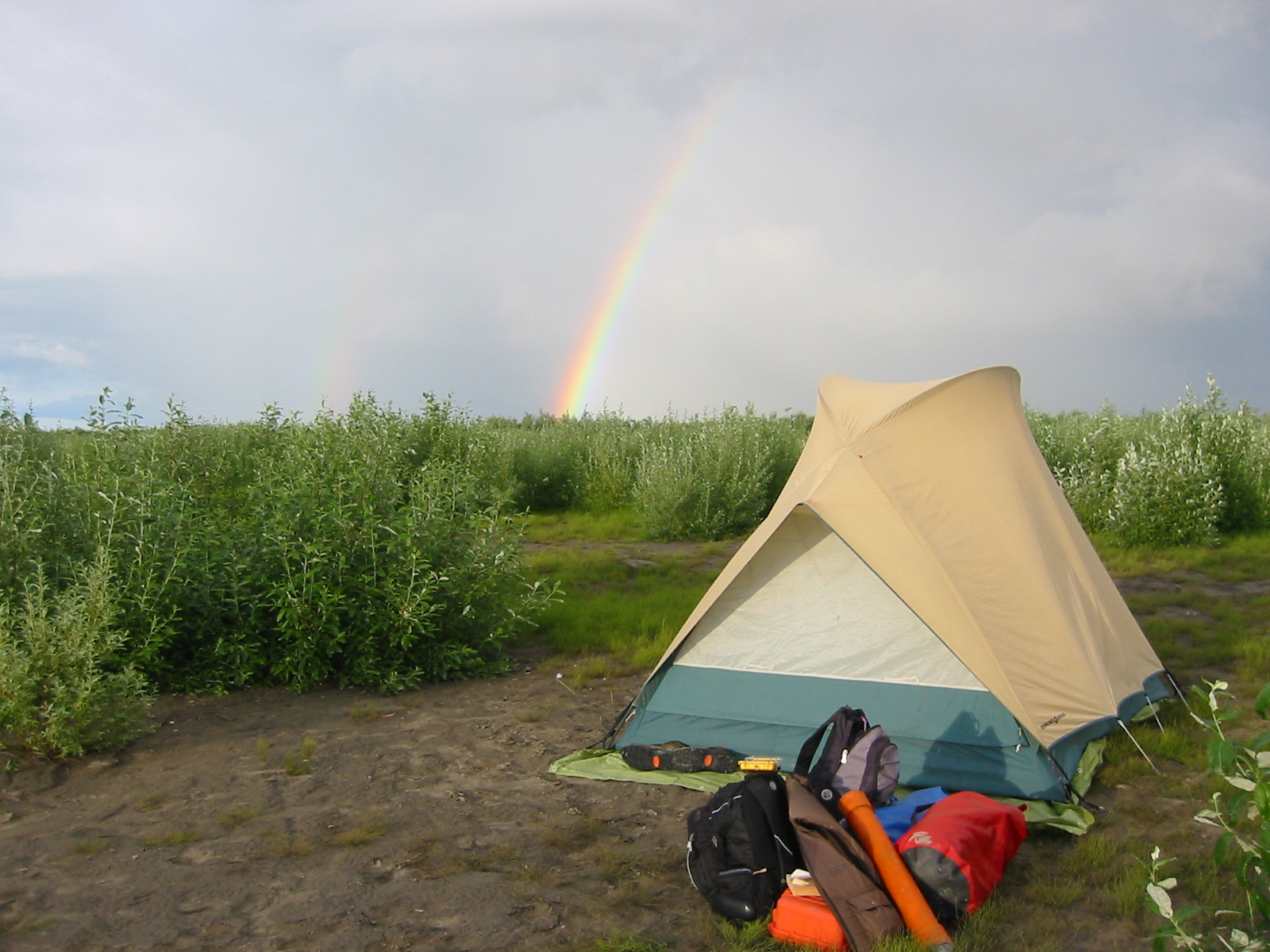
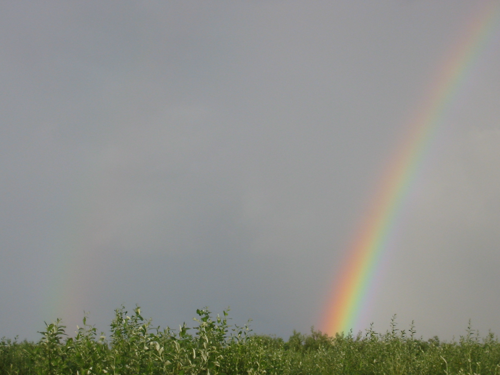
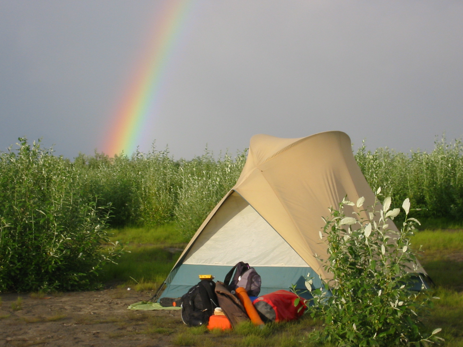
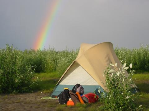
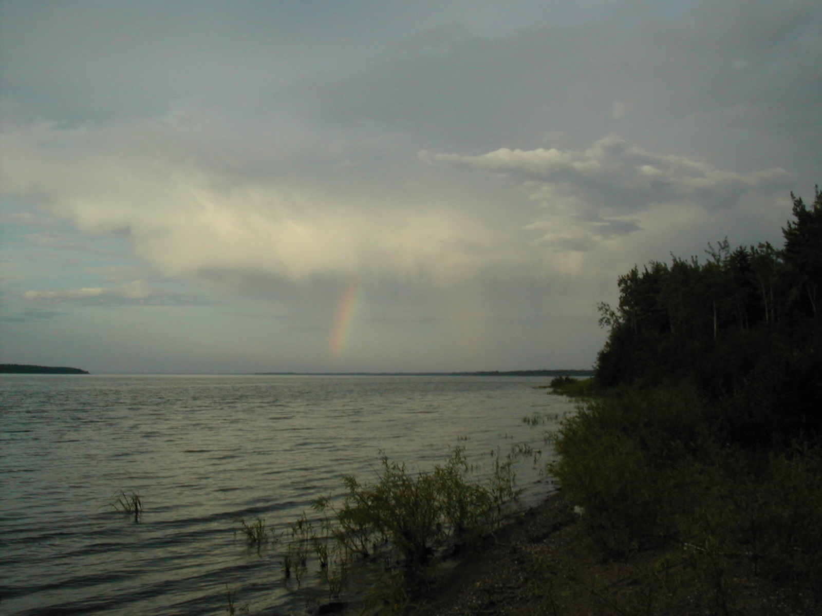
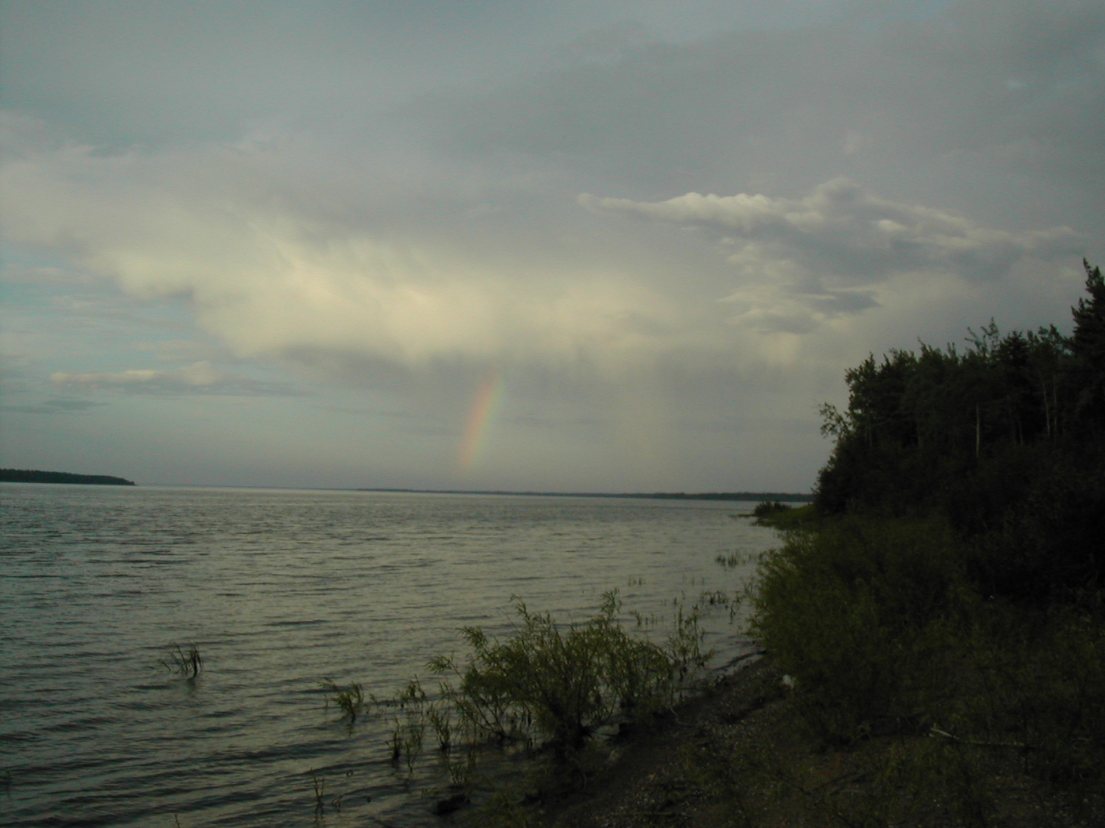
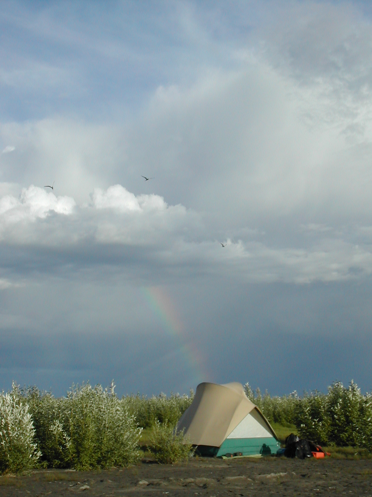
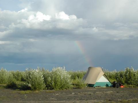
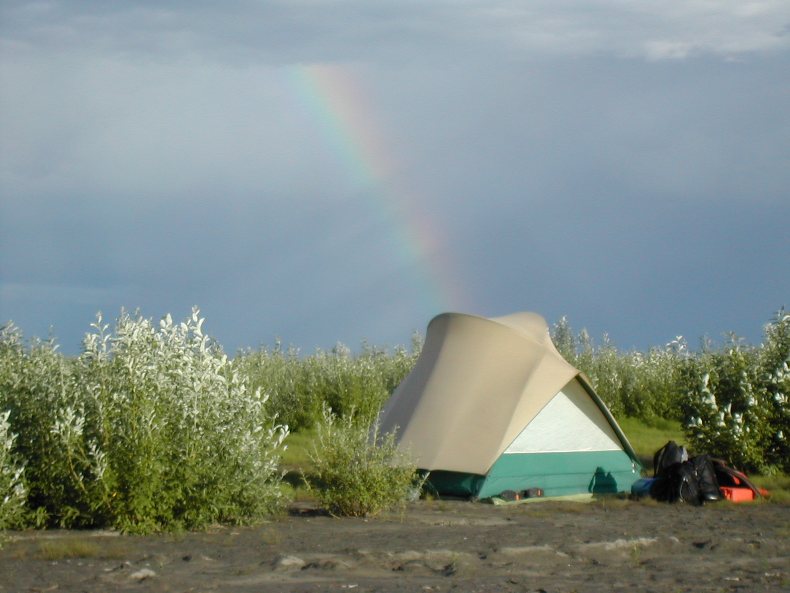
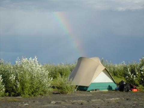
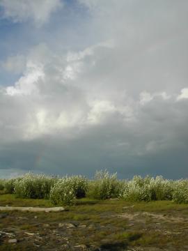
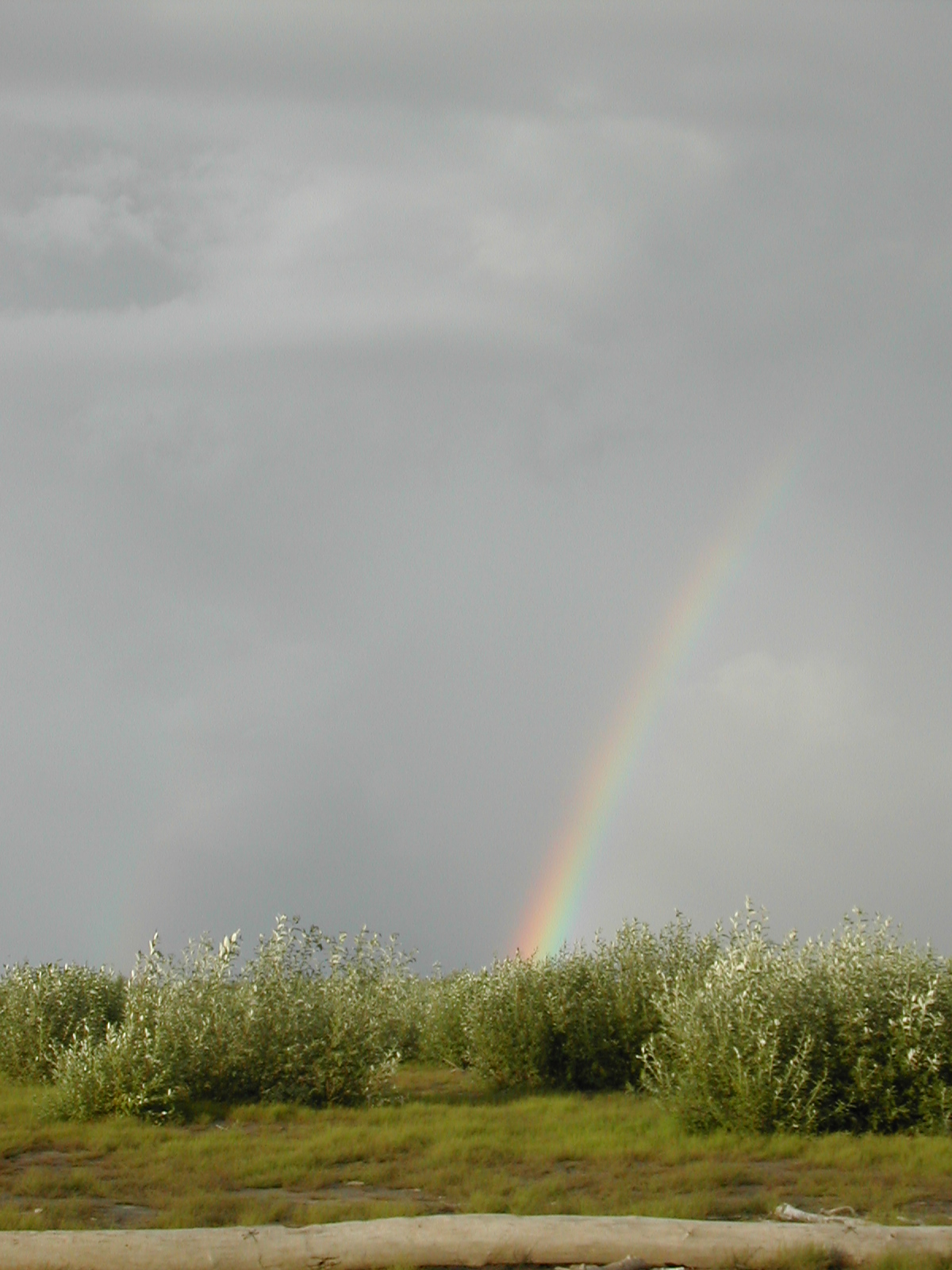
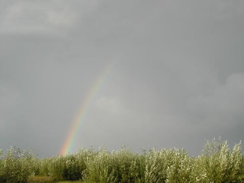
| 1185589041.JPG | 1185589041-pv.JPG | Rainbow beyond our campsite on day 3 | mrd |
| 1185589057.JPG | 1185589057-pv.JPG | Rainbow beyond our campsite on day 3 | mrd |
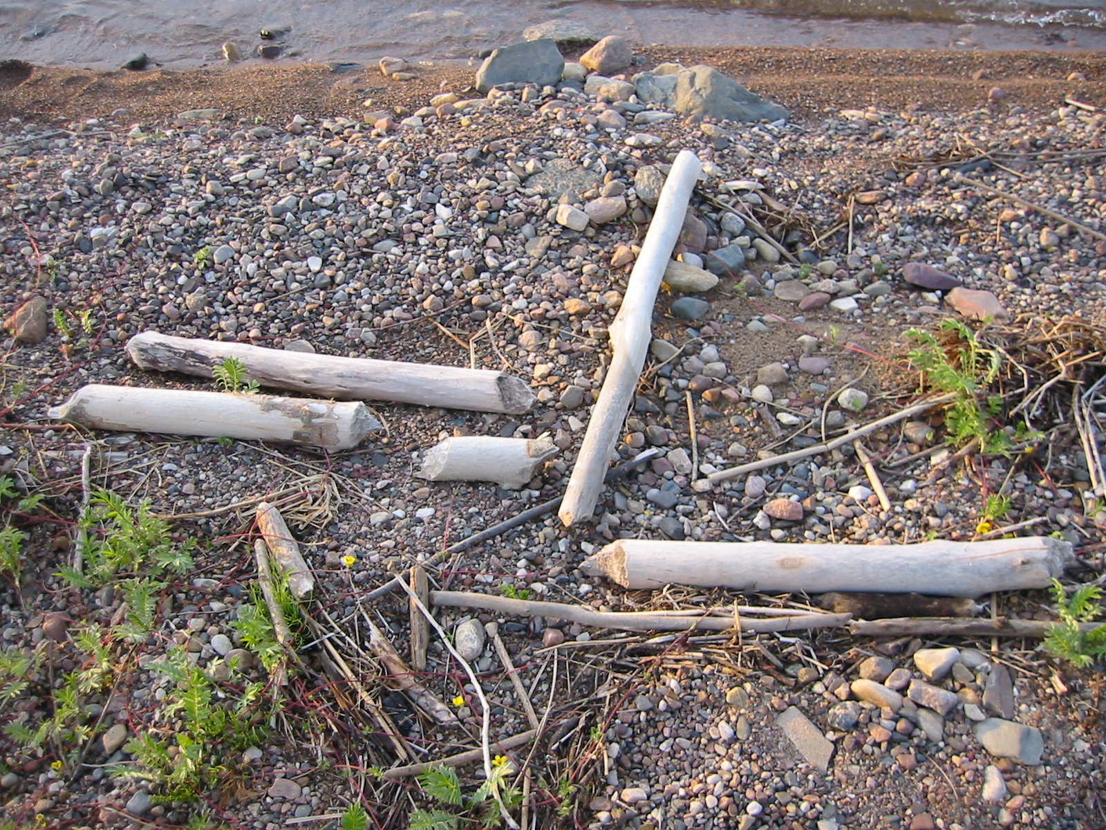
| 1185589256.JPG | 1185589256-pv.JPG | Beaver-gnawed logs at day 3 campsite | mrd |
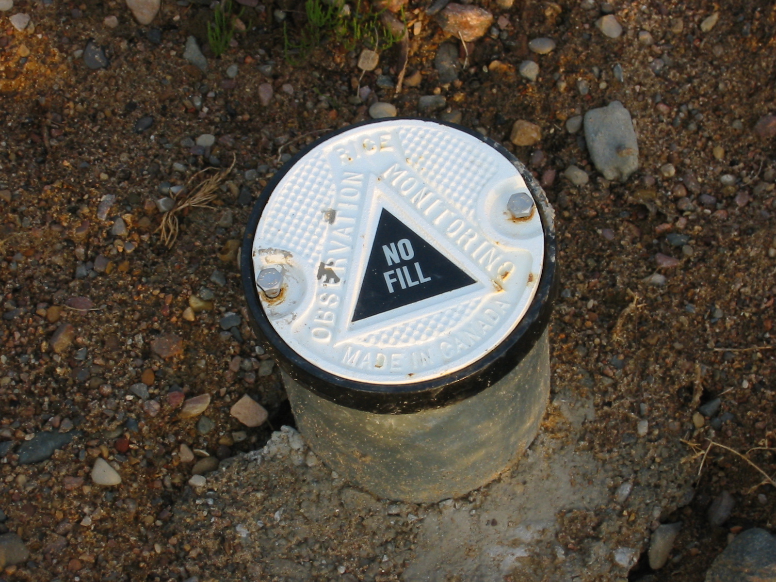
| 1185589284.JPG | 1185589284-pv.JPG | Monitor well cap at the day 3 campsite | mrd |
| 1185589339.JPG | 1185589339-pv.JPG | View of the canoe as we waited out the day 4 williwah | mrd |
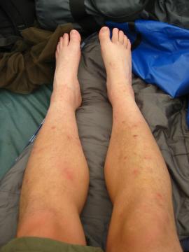
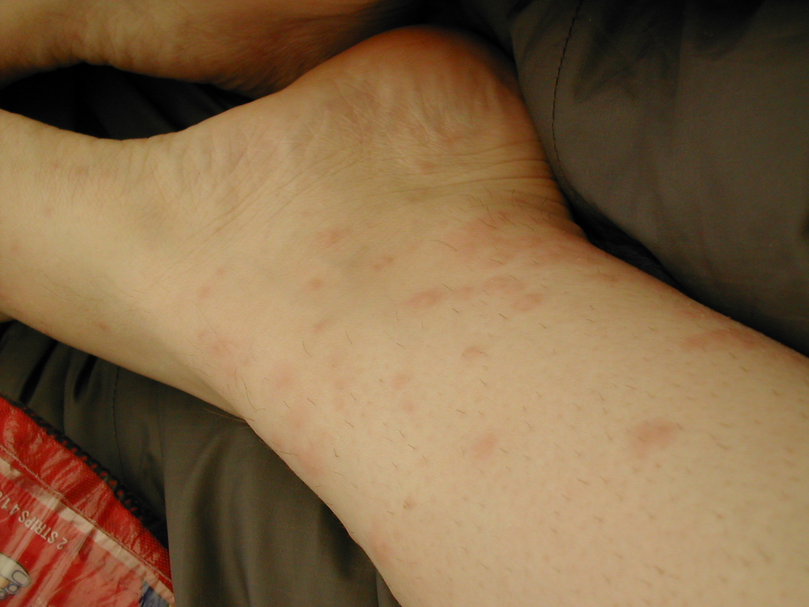
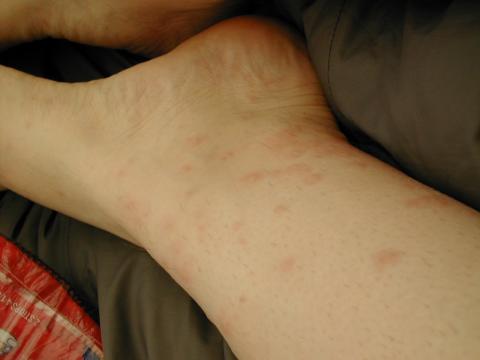
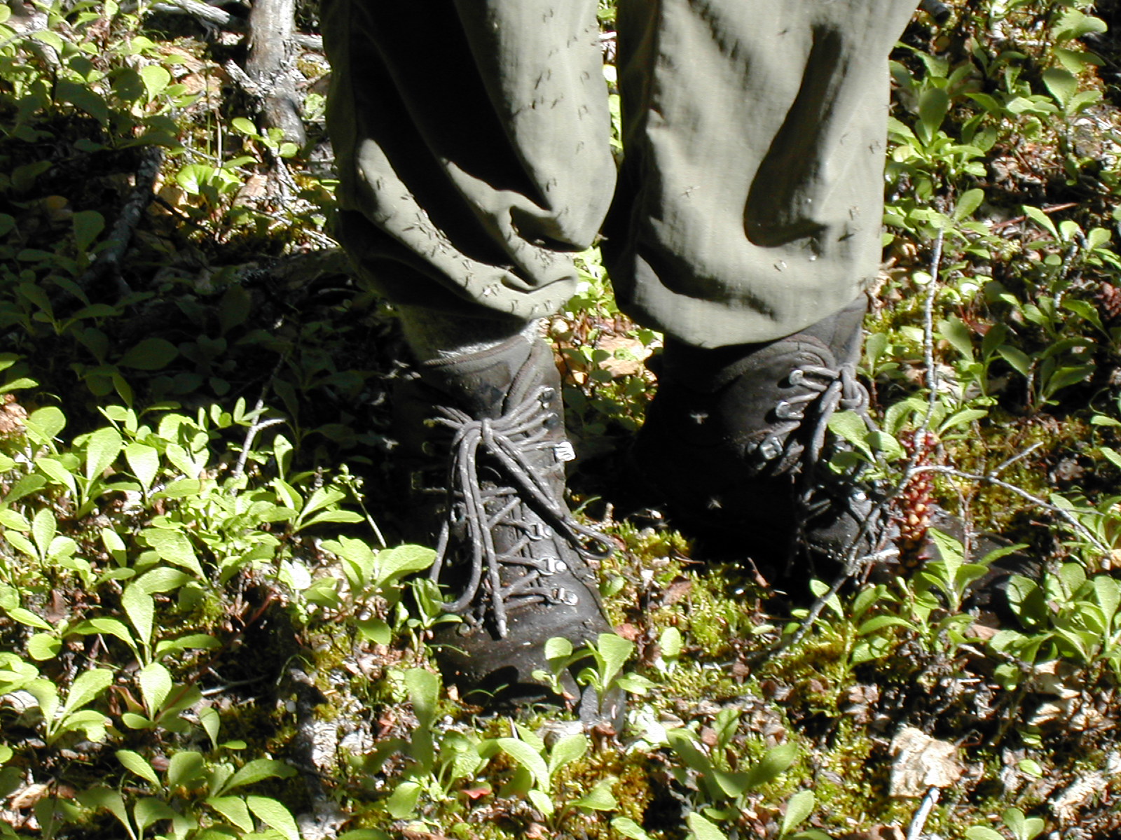
| 1185589371.JPG | 1185589371-pv.JPG | Fish's bug-bitten legs | mrd |
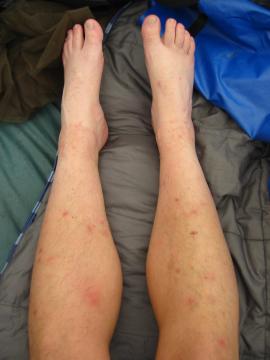
| 1185589390.JPG | 1185589390-pv.JPG | Fish's bug-bitten legs | mrd |
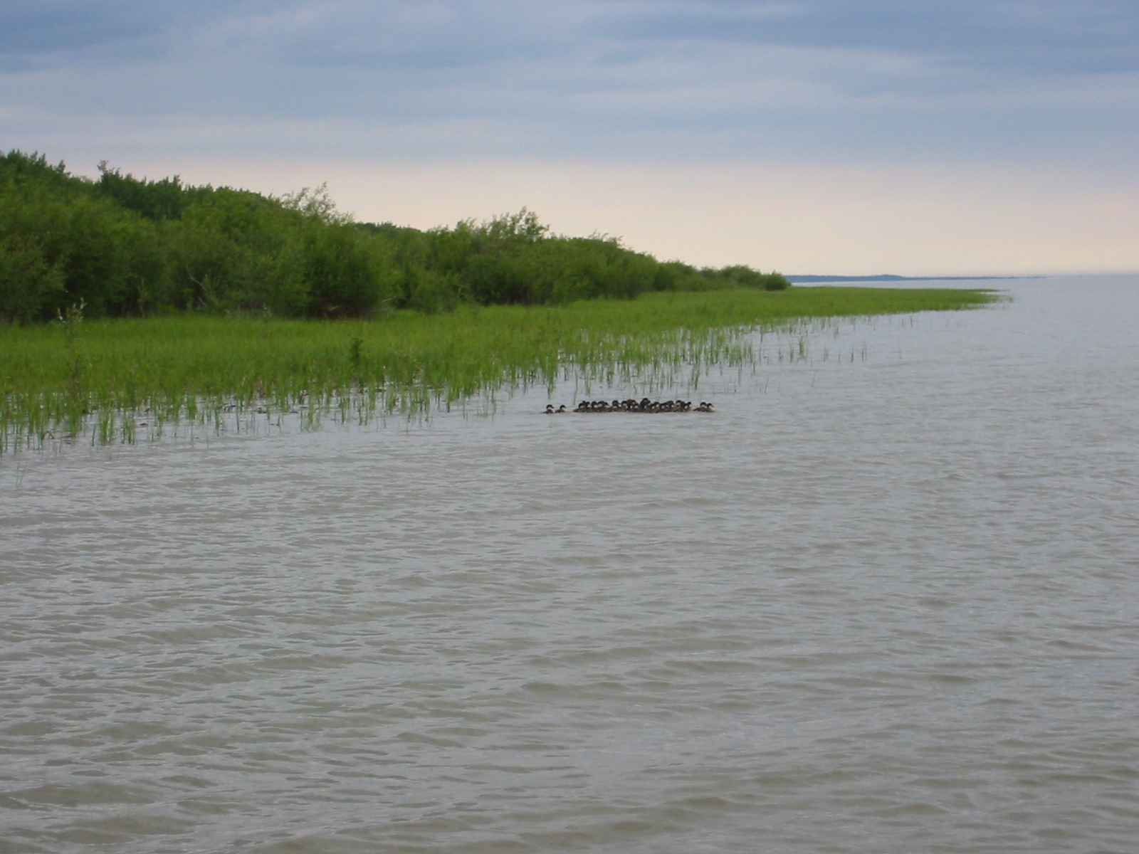
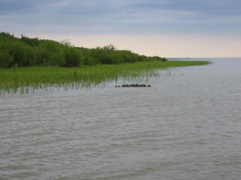
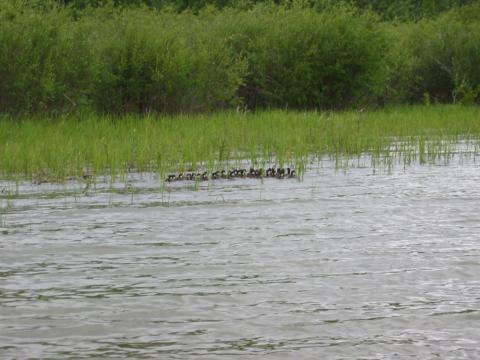
| 1185589522.JPG | 1185589522-pv.JPG | Large group of ducklings | mrd |
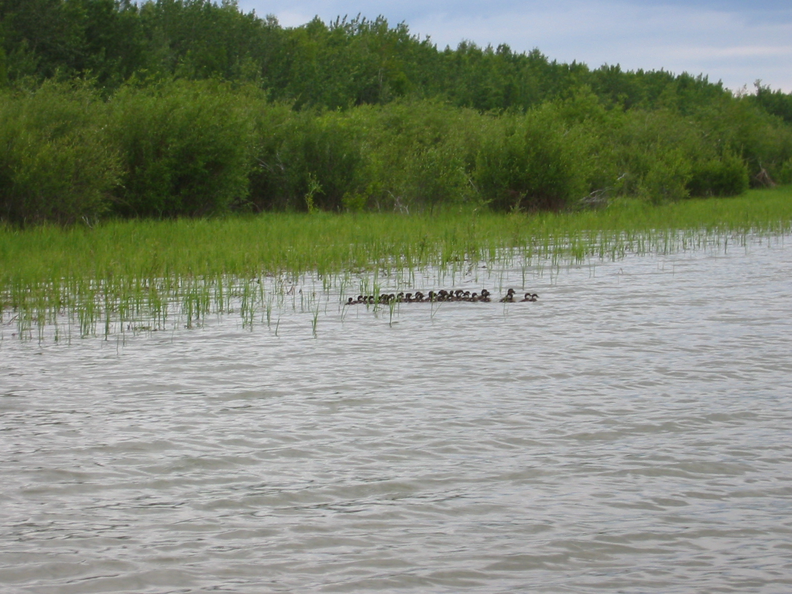
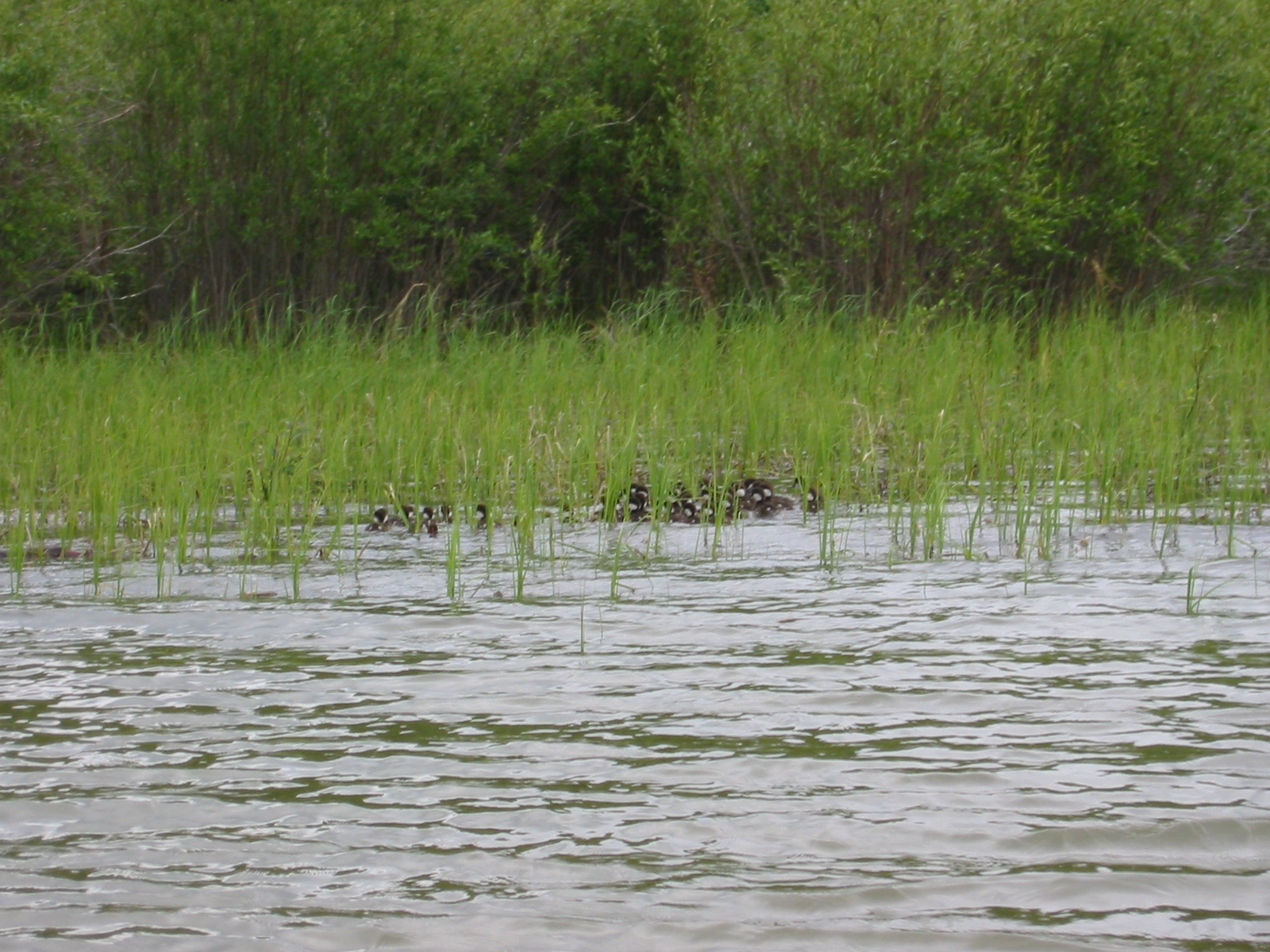
| 1185589550.JPG | 1185589550-pv.JPG | Large group of ducklings | mrd |
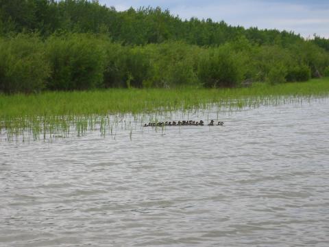
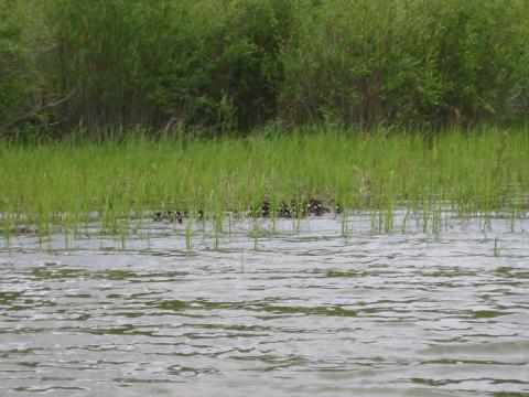
| 1185589567.JPG | 1185589567-pv.JPG | Large group of ducklings | mrd |
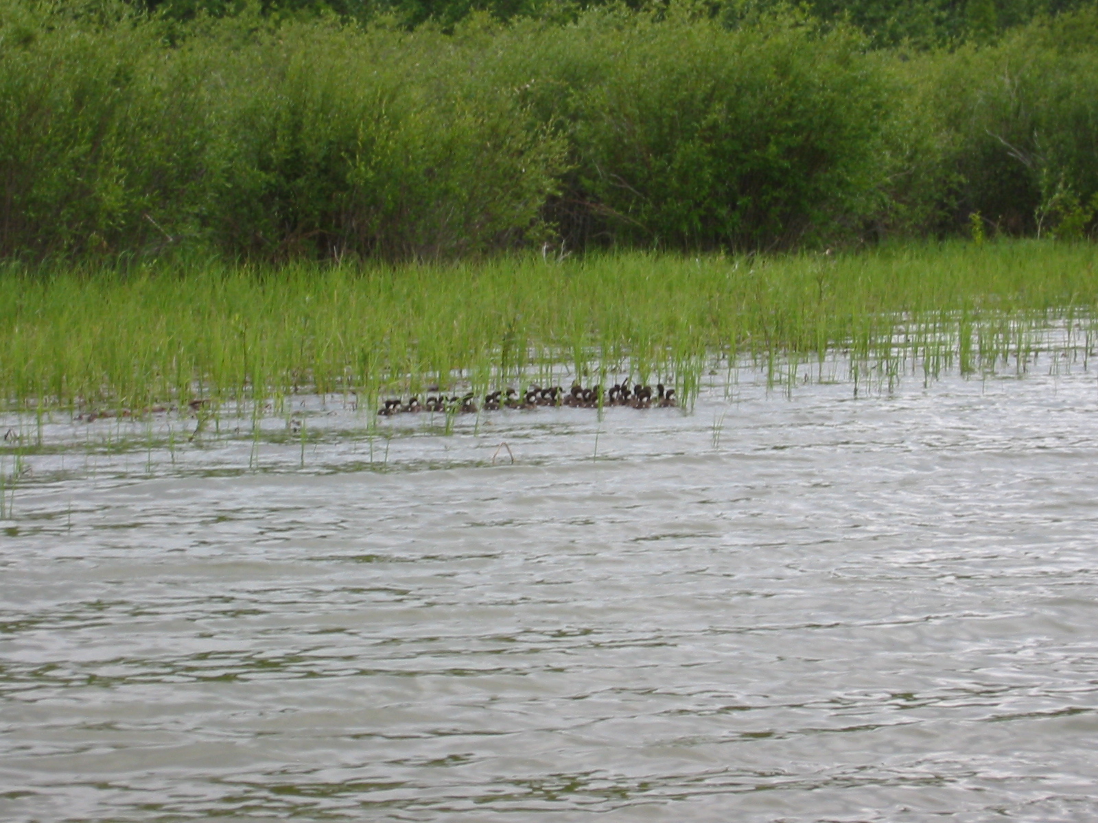
| 1185589598.JPG | 1185589598-pv.JPG | Large group of ducklings | mrd |
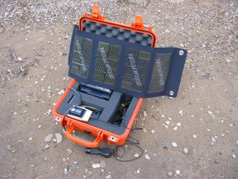
| 1185589715.JPG | 1185589715-pv.JPG | Camera battery charging off the solar panel | mrd |
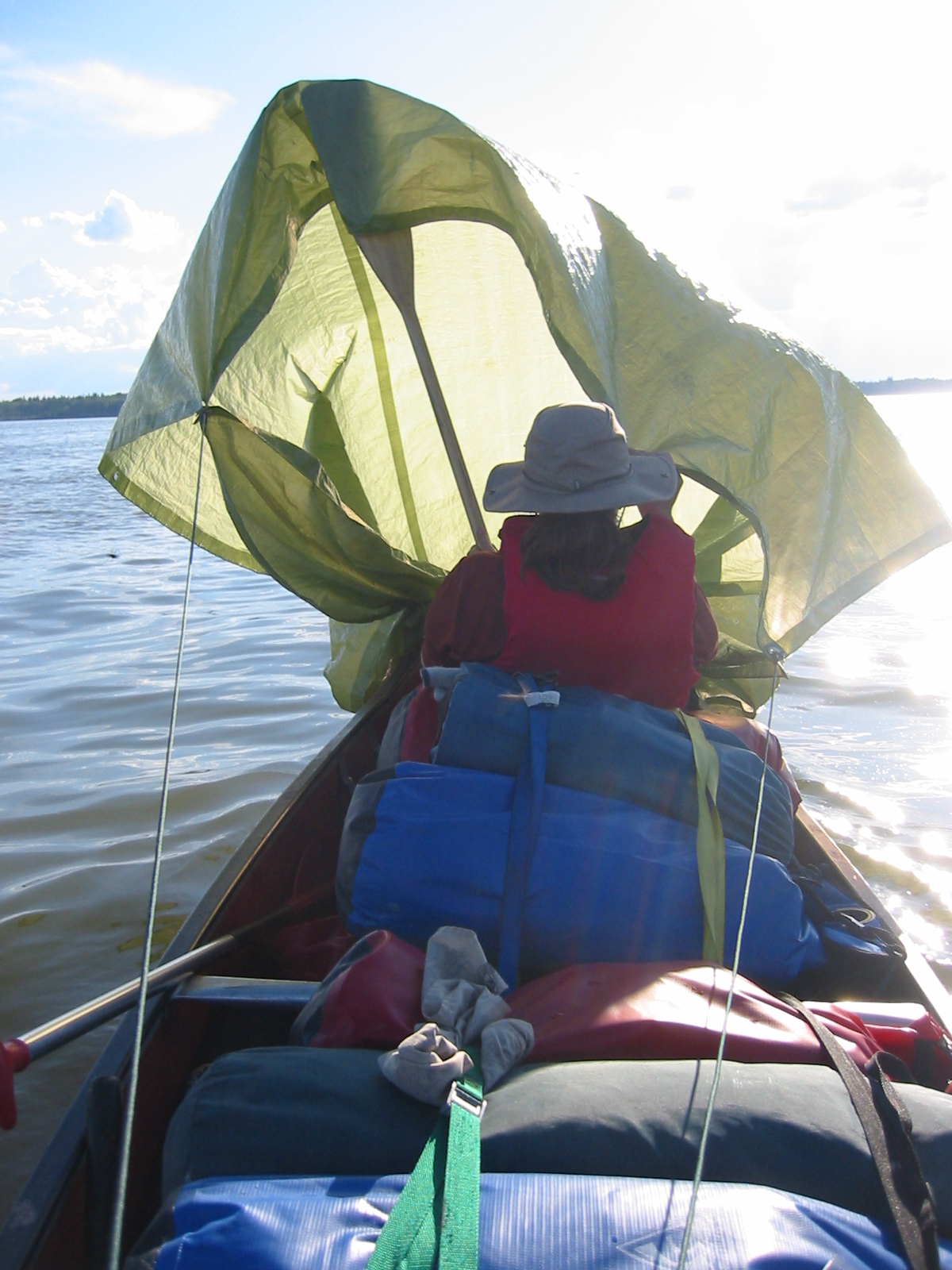
| 1185589746.JPG | 1185589746-pv.JPG | The tarp sail on day 5 | mrd |
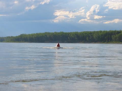
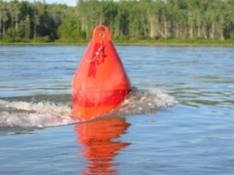
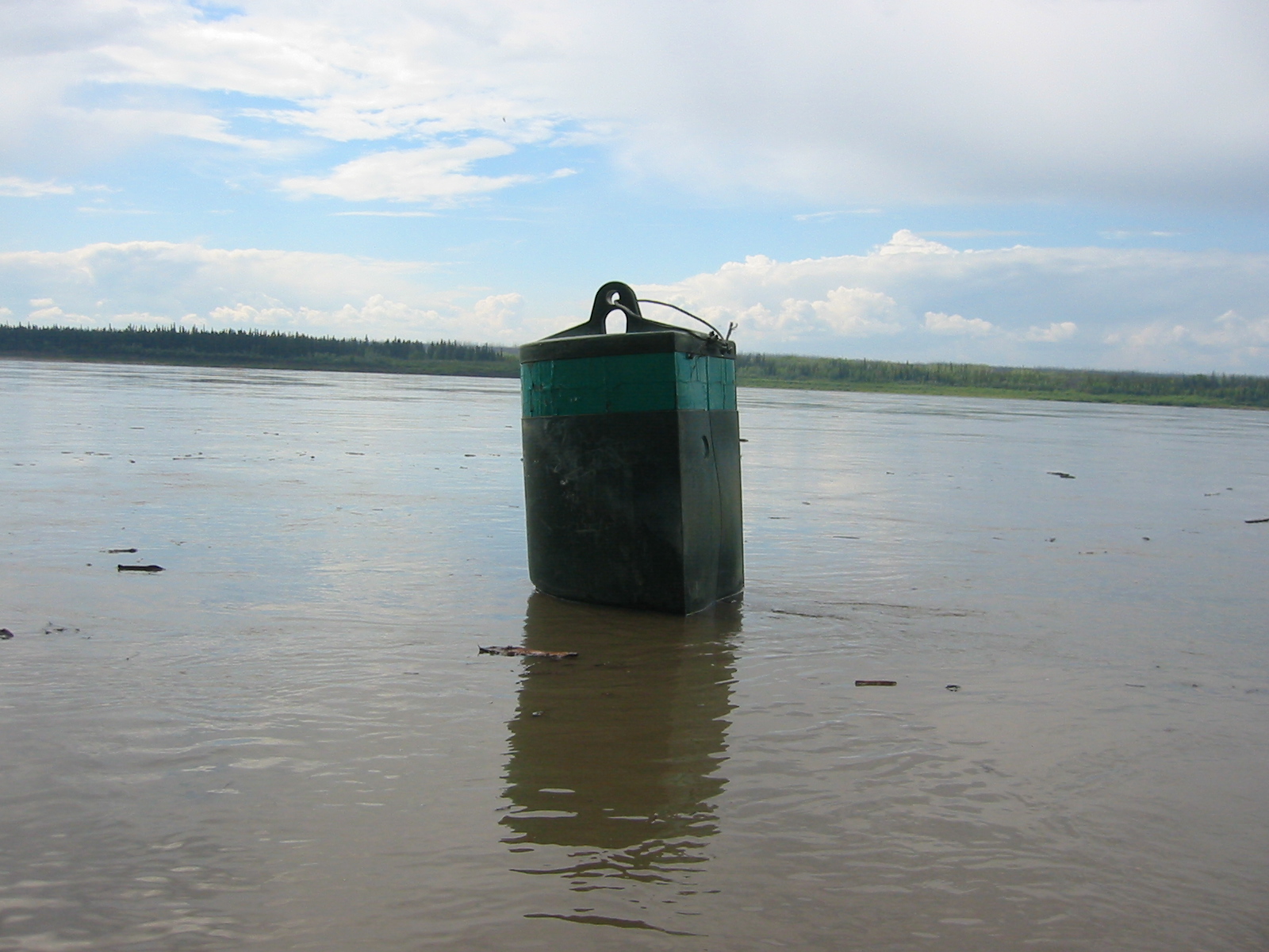
| 1185589850.JPG | 1185589850-pv.JPG | River buoy as we finally hit current on day 5 | mrd |
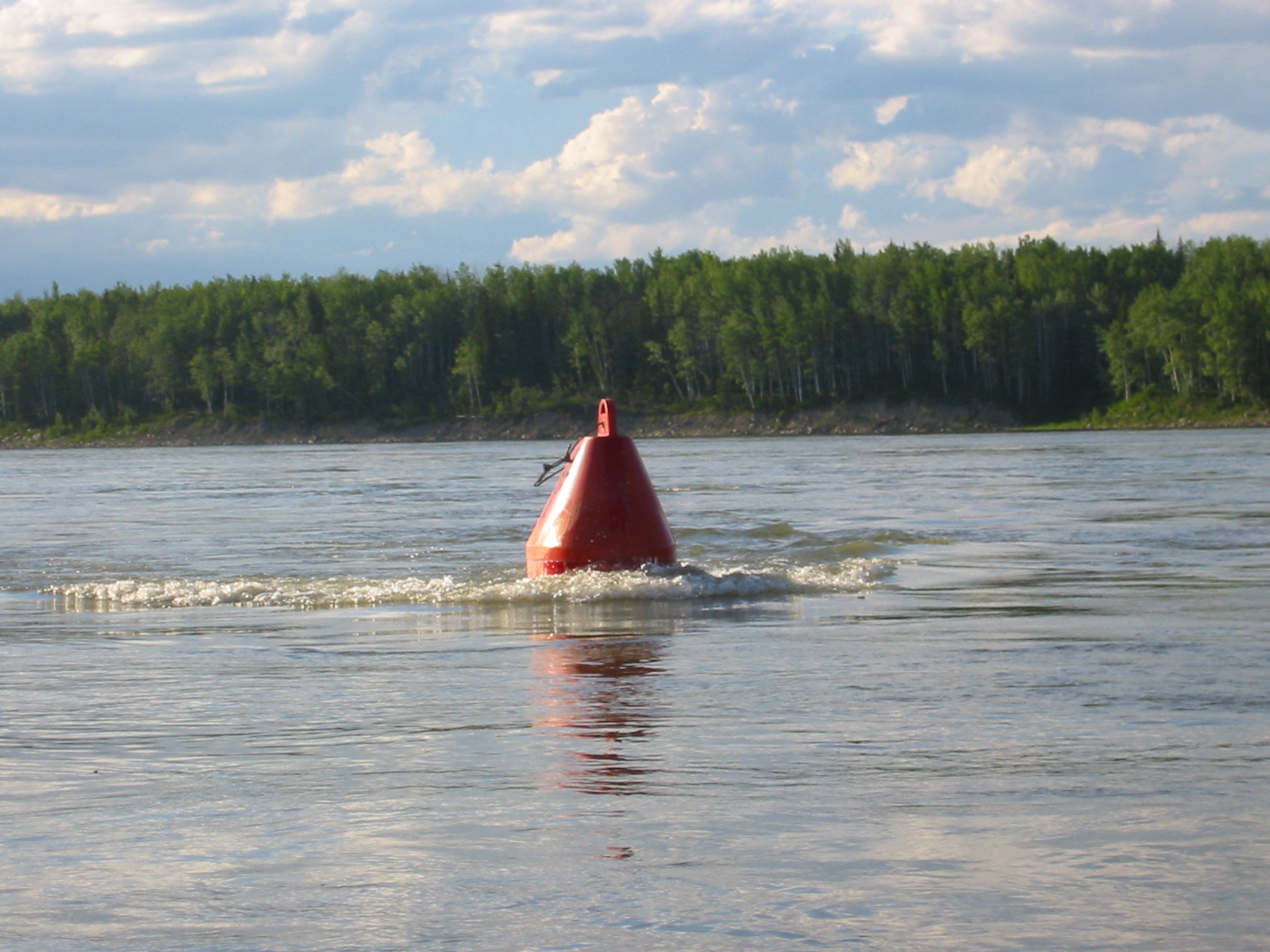
| 1185589906.JPG | 1185589906-pv.JPG | River buoy showing current | mrd |
| 1185589926.JPG | 1185589926-pv.JPG | River buoy showing current | mrd |
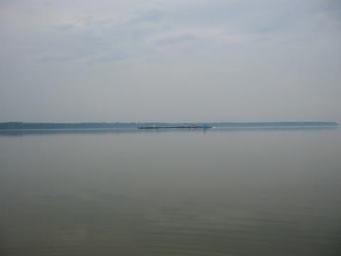
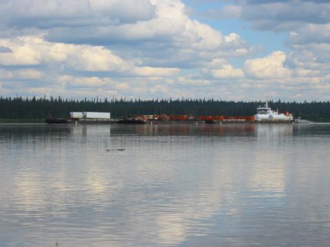
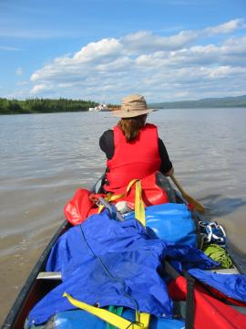
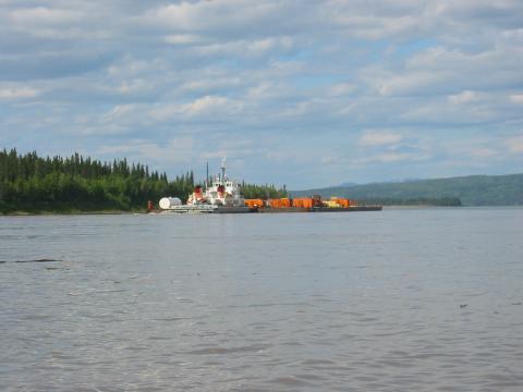
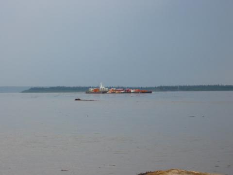
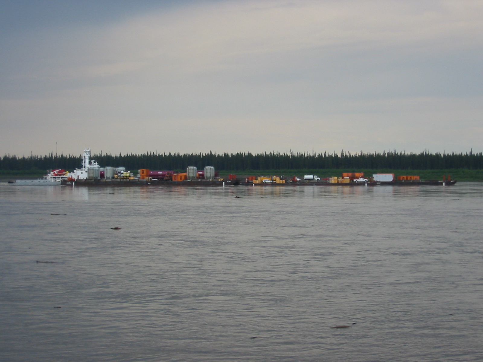
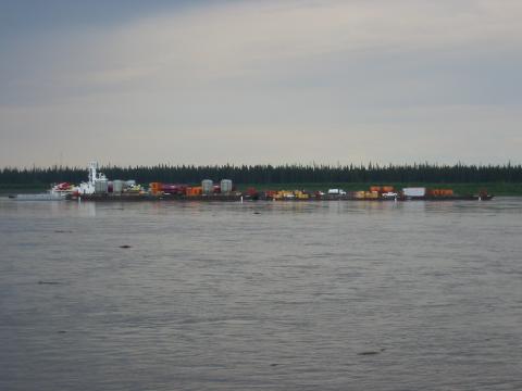
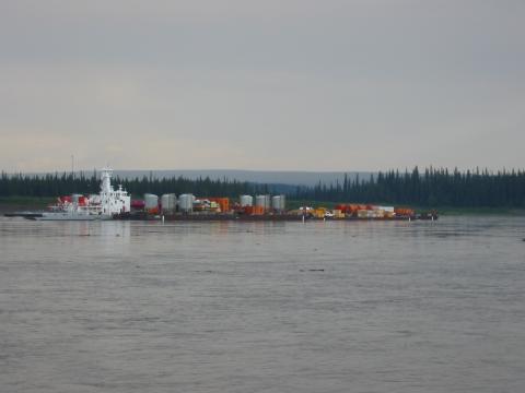
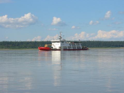
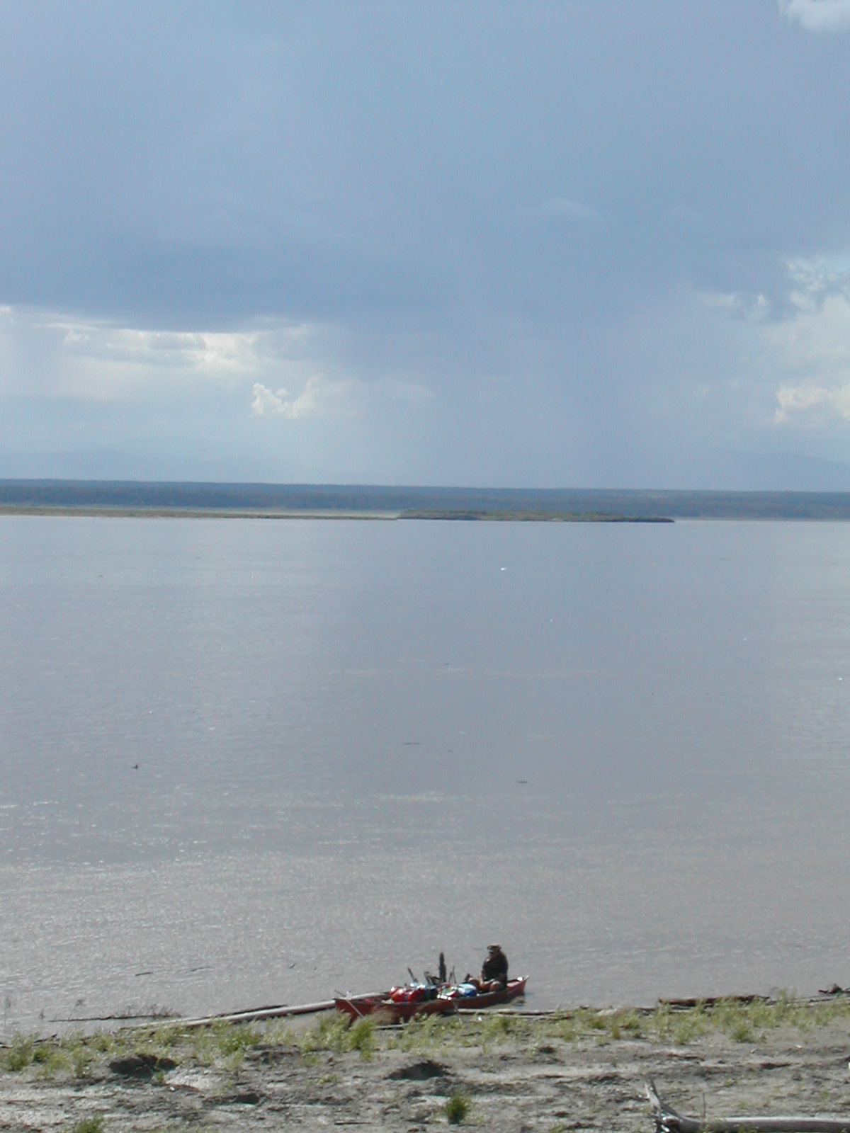
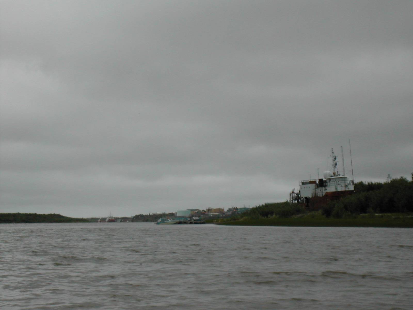
| 1185590292.JPG | 1185590292-pv.JPG | Barge in the distance | mrd |
| 1185590309.JPG | 1185590309-pv.JPG | Barge in the distance | mrd |
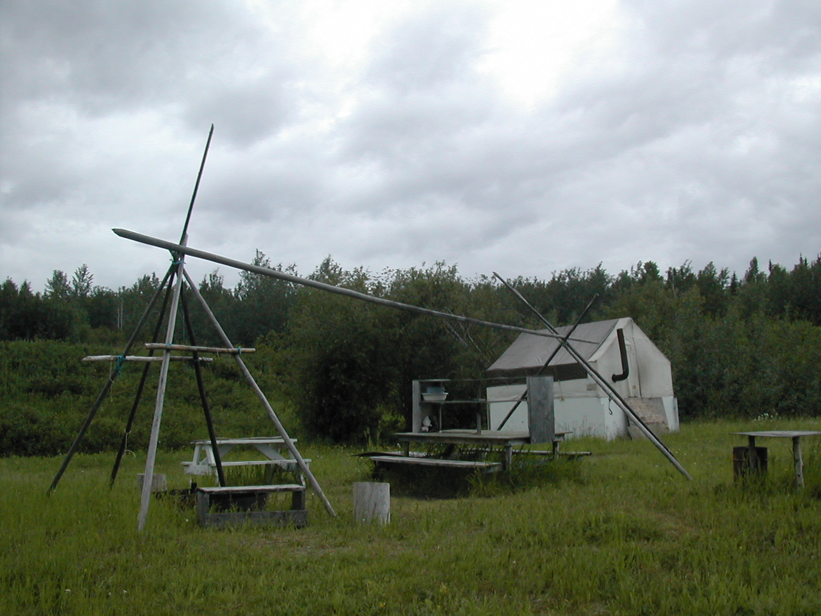
| 1185590372.JPG | 1185590372-pv.JPG | Campsite at the cabins at Rabbitskin Creek | mrd |
| 1185590408.JPG | 1185590408-pv.JPG | Cabins at Rabbitskin Creek | mrd |
| 1185590427.JPG | 1185590427-pv.JPG | Campsite at the cabins at Rabbitskin Creek | mrd |
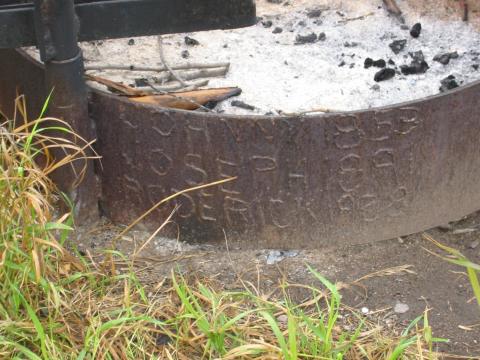
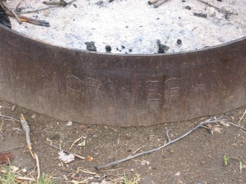
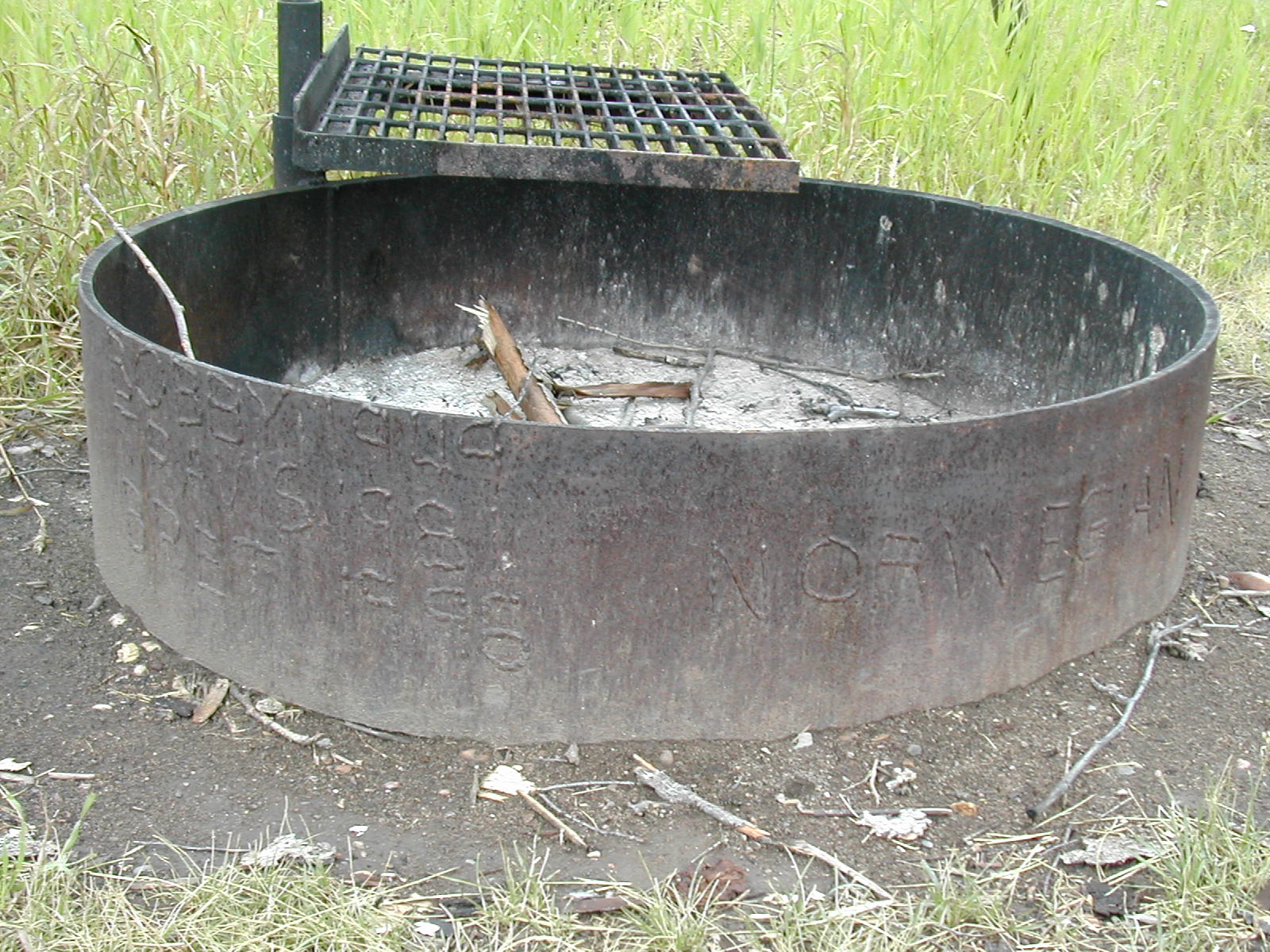
| 1185590468.JPG | 1185590468-pv.JPG | Norwegian family tree on the fire ring at the Rabbitskin Creek | mrd |
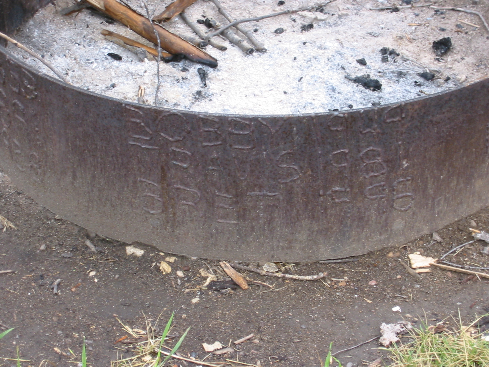
| 1185590570.JPG | 1185590570-pv.JPG | Norwegian family tree on the fire ring at the Rabbitskin Creek | mrd |
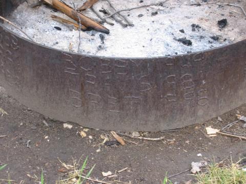
| 1185590586.JPG | 1185590586-pv.JPG | Norwegian family tree on the fire ring at the Rabbitskin Creek | mrd |
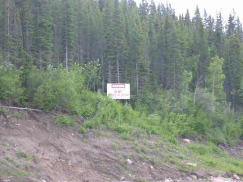
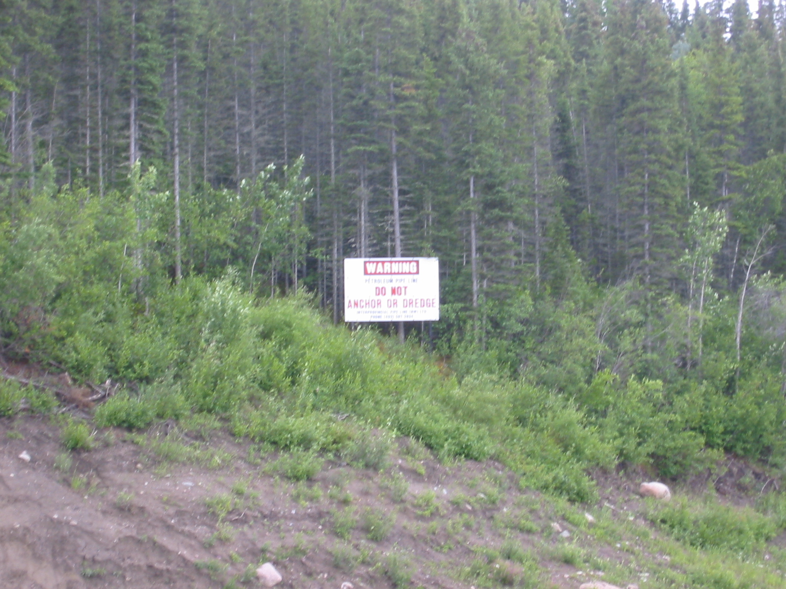
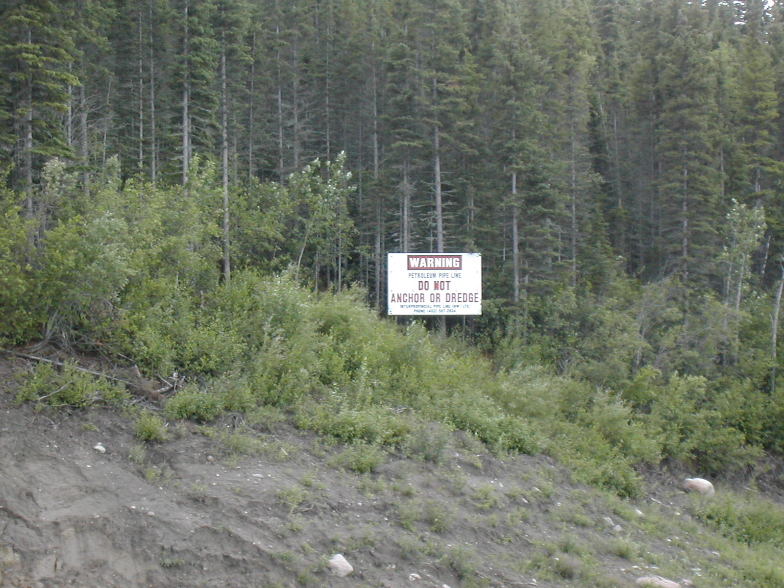
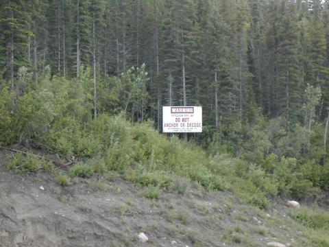
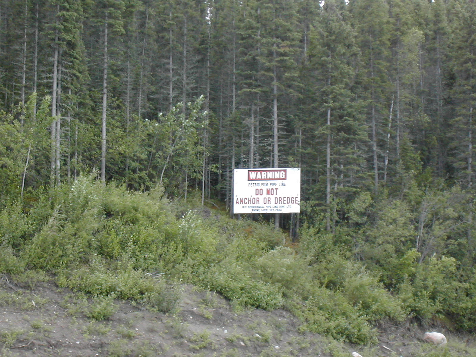
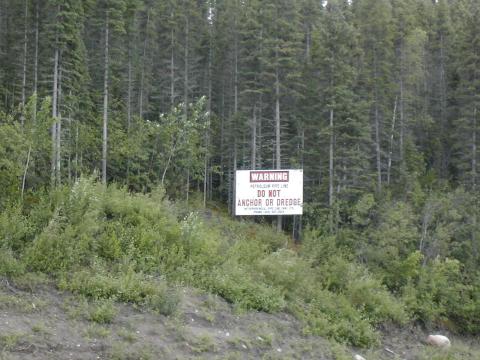
| 1185590685.JPG | 1185590685-pv.JPG | Pipeline sign: Warning: Do not anchor or dredge | mrd |
| 1185590702.JPG | 1185590702-pv.JPG | Pipeline sign: Warning: Do not anchor or dredge | mrd |
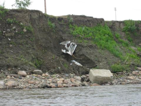
| 1185590736.JPG | 1185590736-pv.JPG | Ice-crushed culvert on the edge of Fort Simpson | mrd |
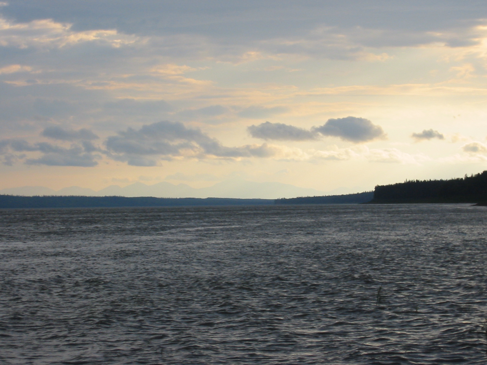
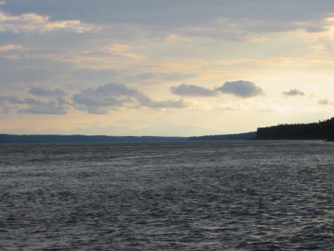
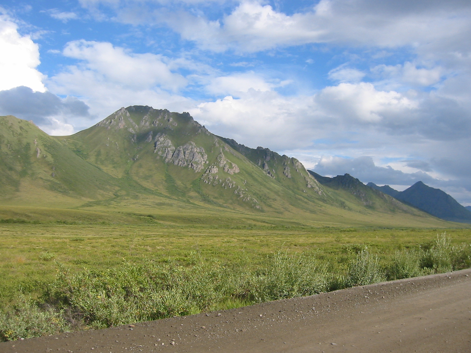
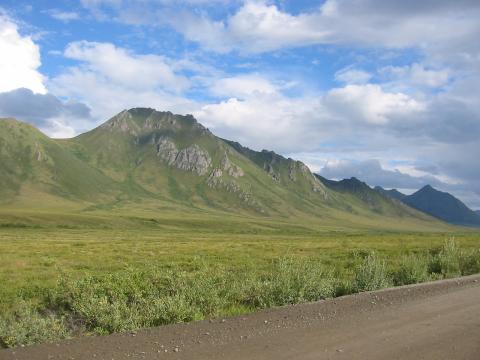
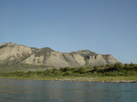
| 1185590777.JPG | 1185590777-pv.JPG | Mountains finally visible in the distance during the slog of day 8 | mrd |
| 1185590814.JPG | 1185590814-pv.JPG | Mountains finally visible in the distance during the slog of day 8 | mrd |
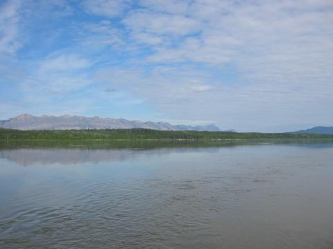
| 1185590858.JPG | 1185590858-pv.JPG | Mountains in the distance | mrd |
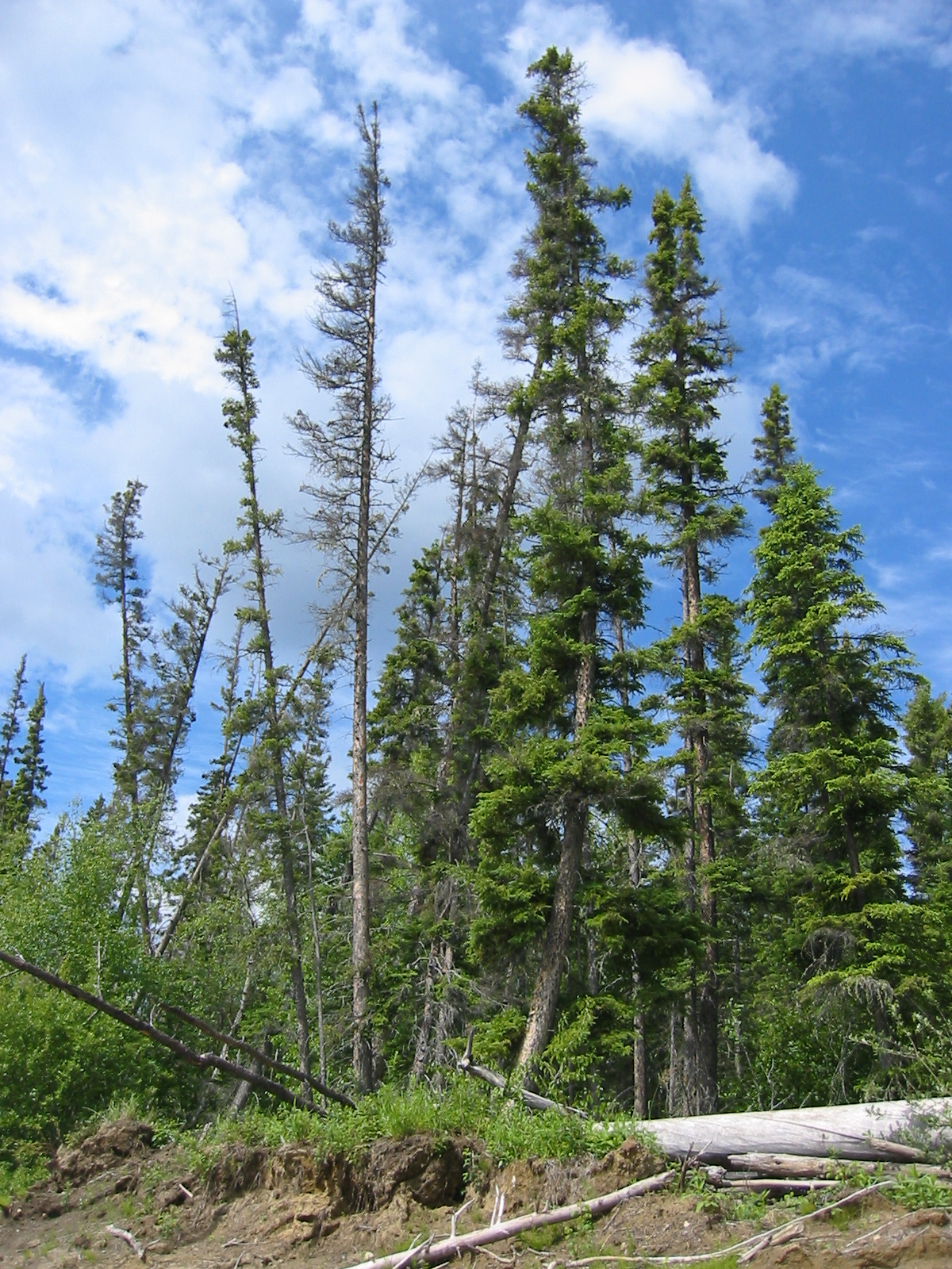
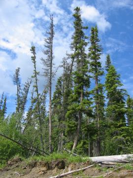
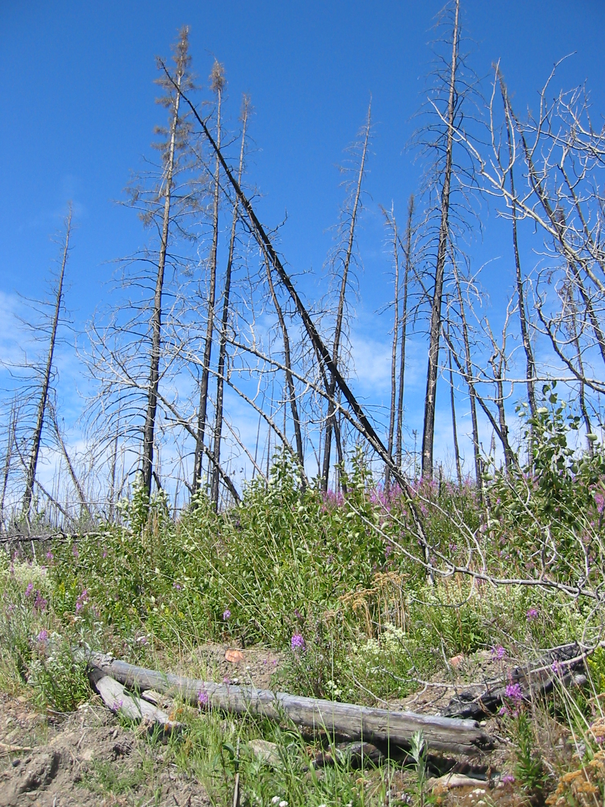
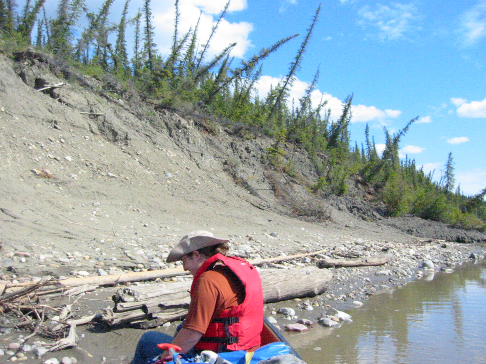
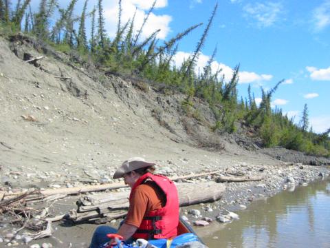
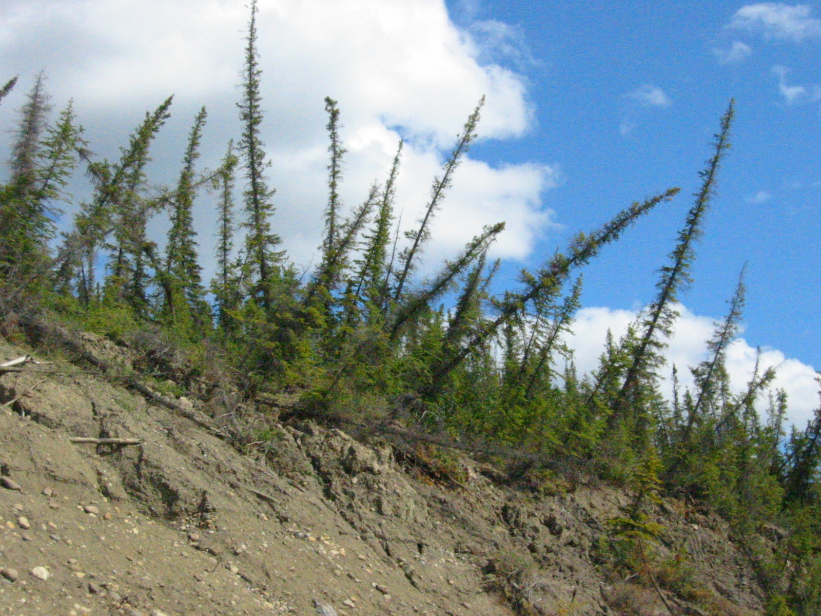
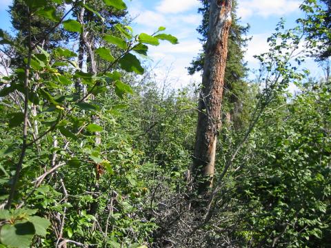
| 1185590900.JPG | 1185590900-pv.JPG | Spindly trees during a restbreak on day 9 | mrd |
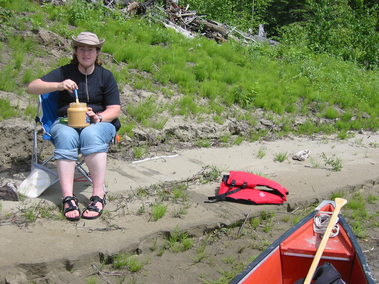
| 1185590936.JPG | 1185590936-pv.JPG | Ari mixing peanutbutter by the canoe | mrd |
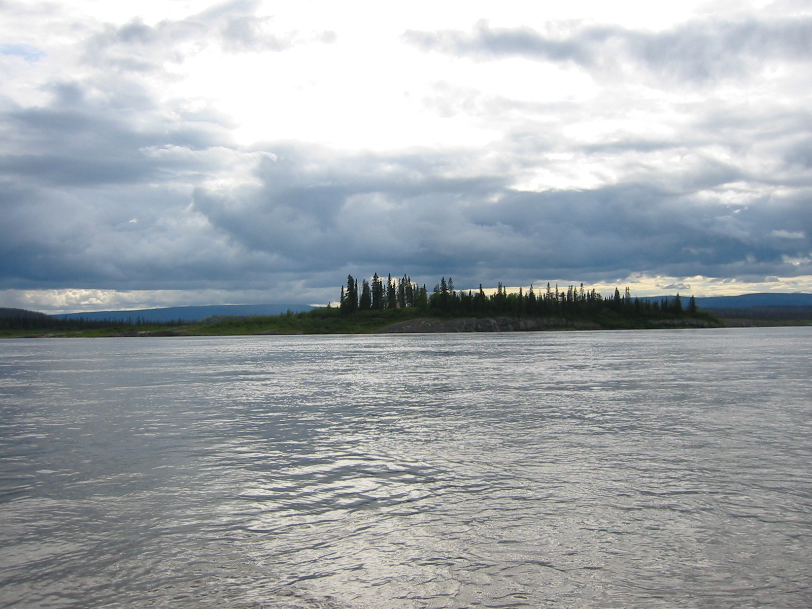
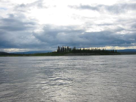
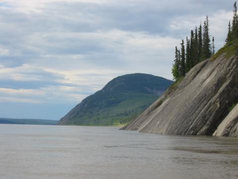
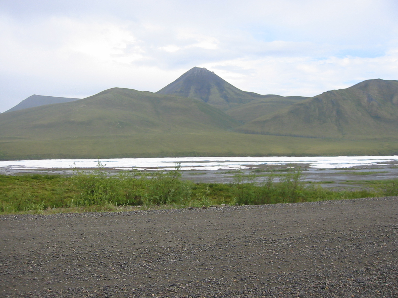
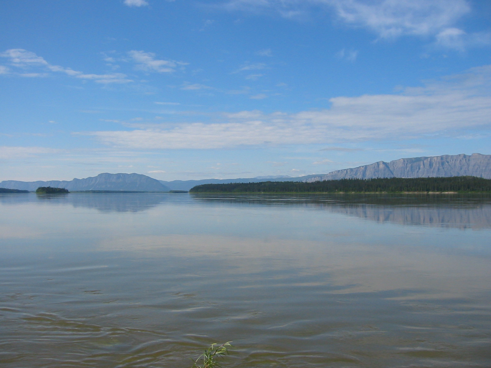
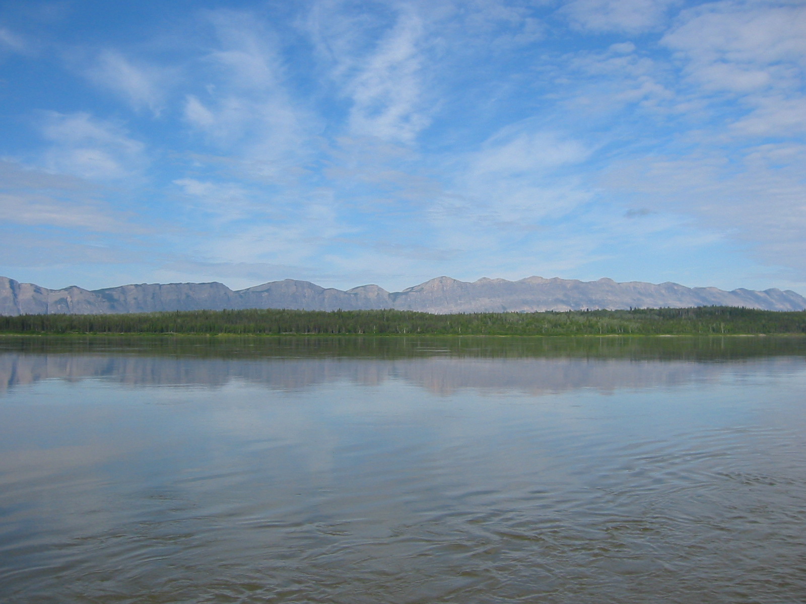
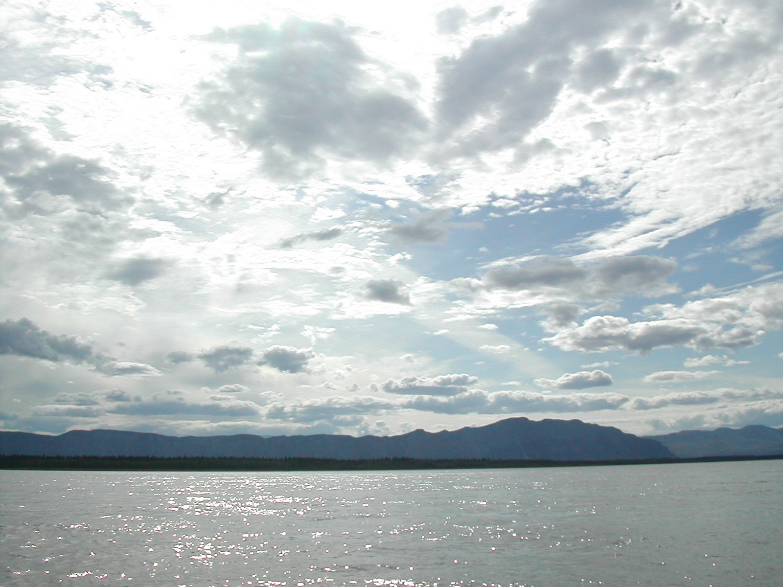
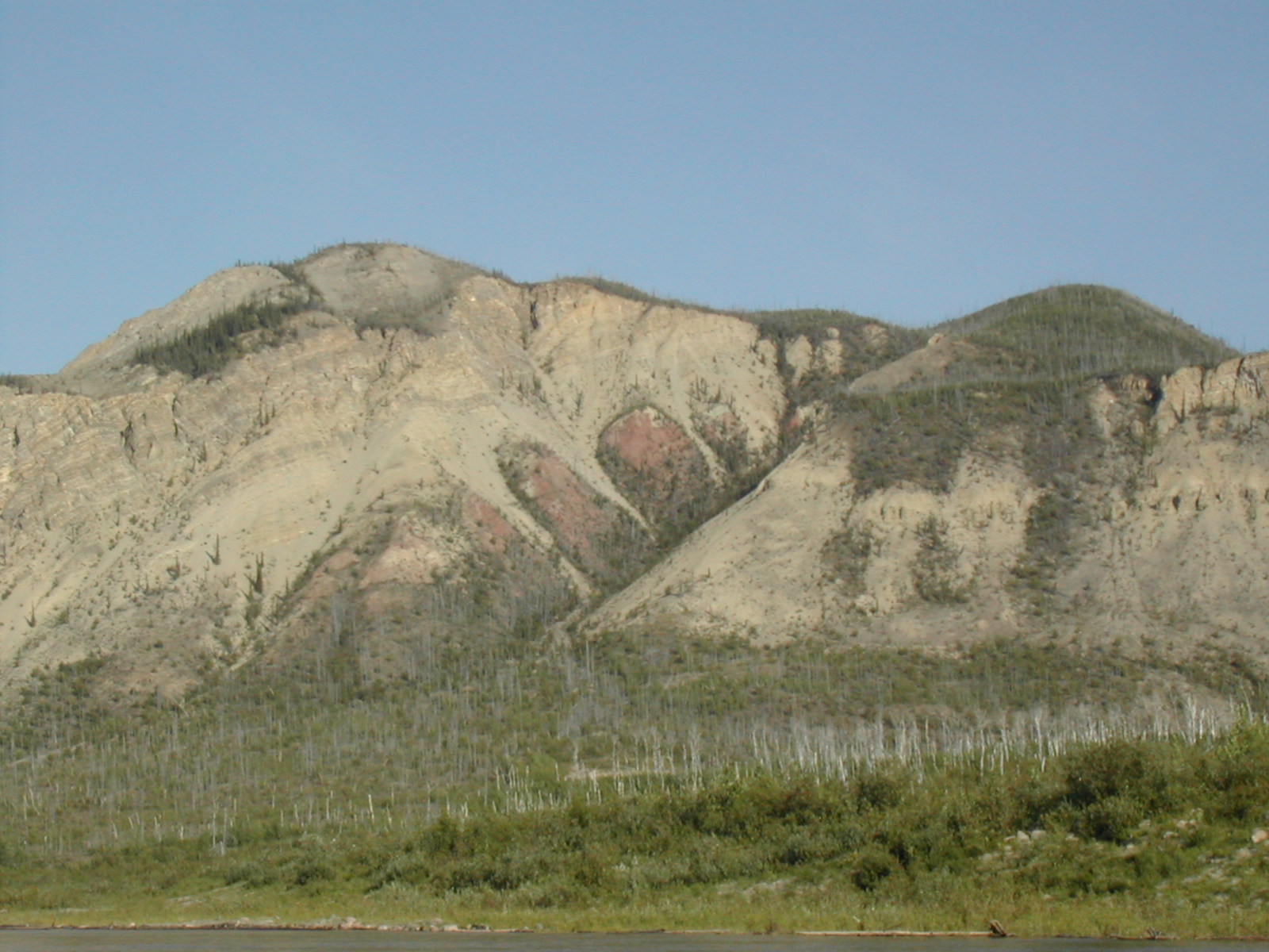
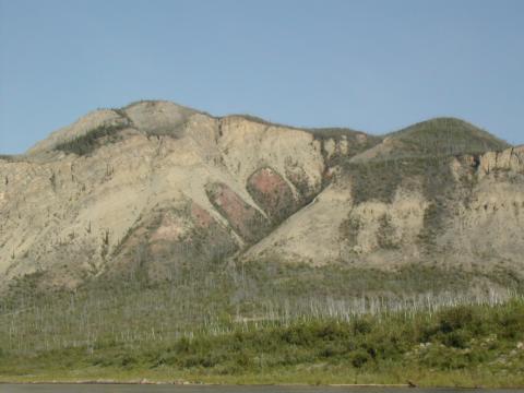
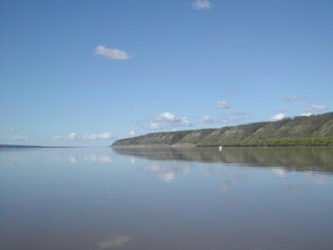
| 1185590970.JPG | 1185590970-pv.JPG | Lonely Mountain and the Nahanni Range from the Camsell Bend | mrd |
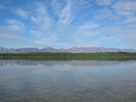
| 1185590988.JPG | 1185590988-pv.JPG | Lonely Mountain from the Camsell Bend | mrd |
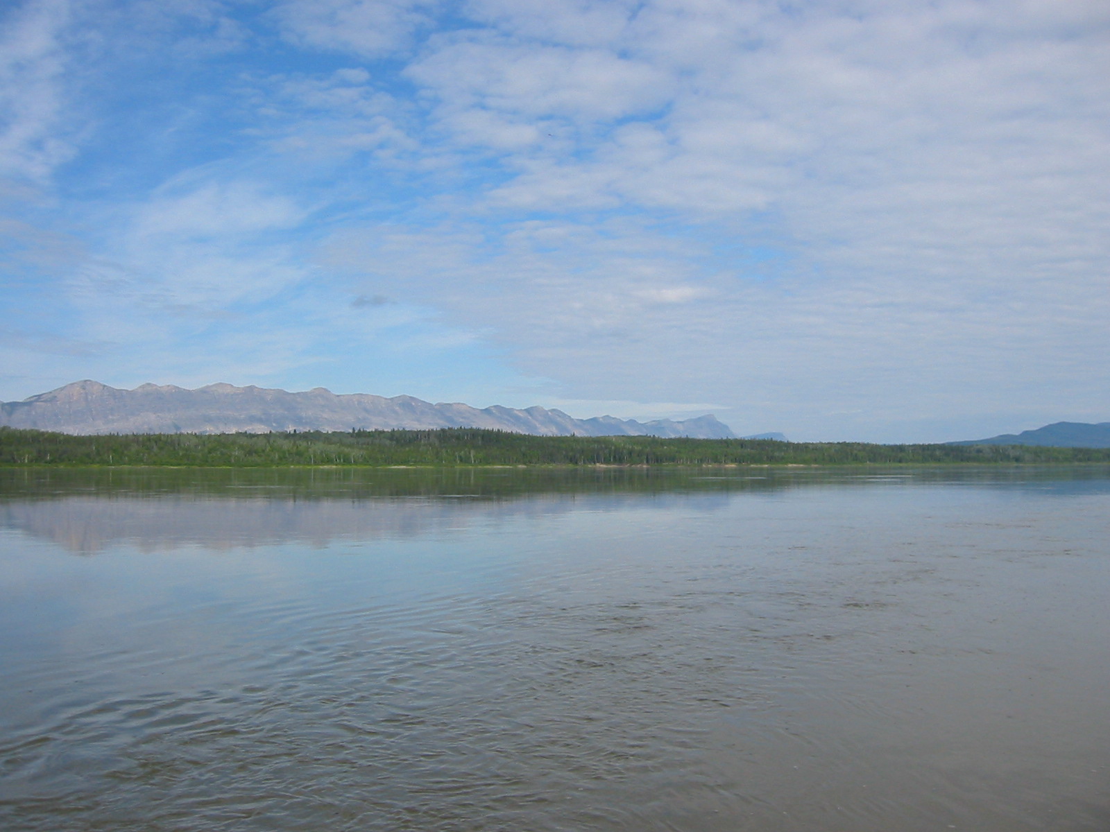
| 1185591040.JPG | 1185591040-pv.JPG | View along the canoe while rounding the Camsell Bend | mrd |
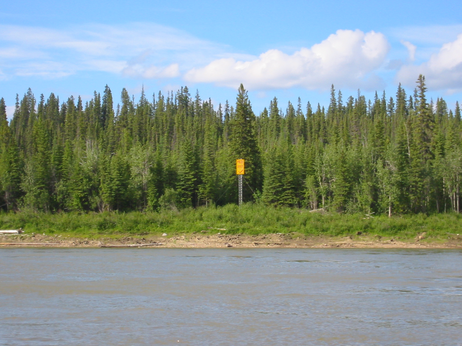
| 1185591121.JPG | 1185591121-pv.JPG | Mile 283 marker | mrd |
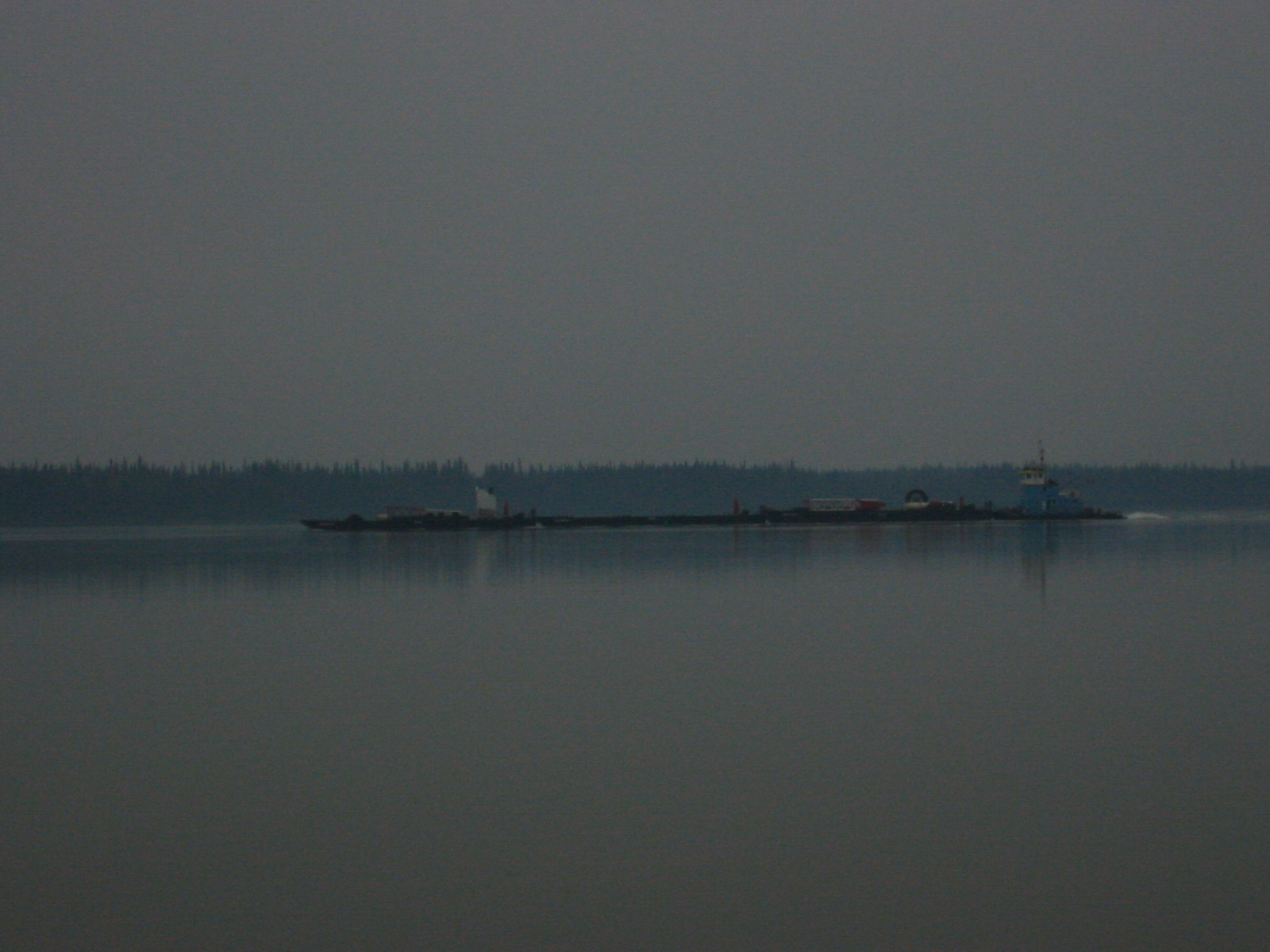
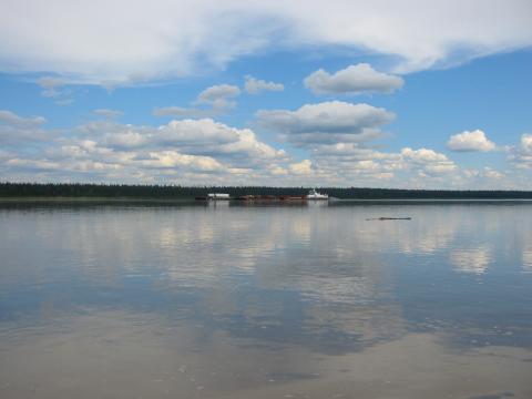
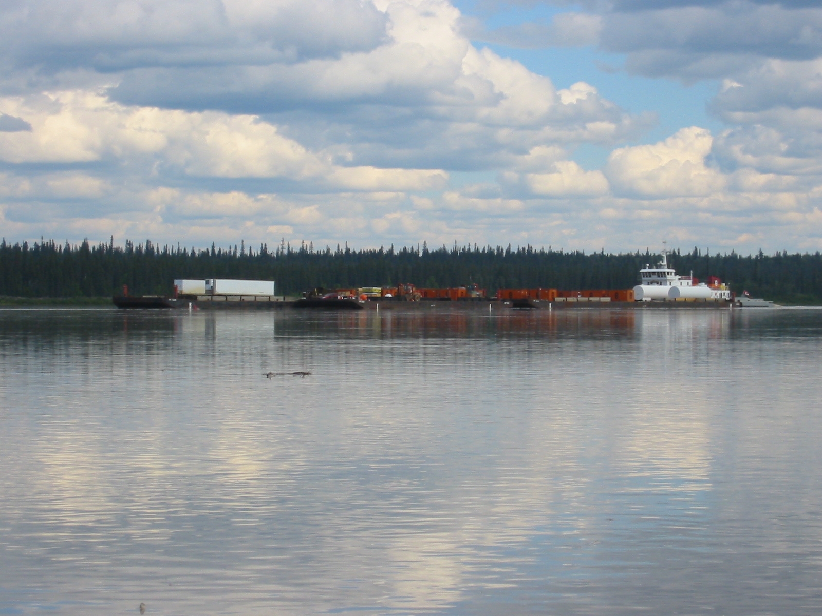
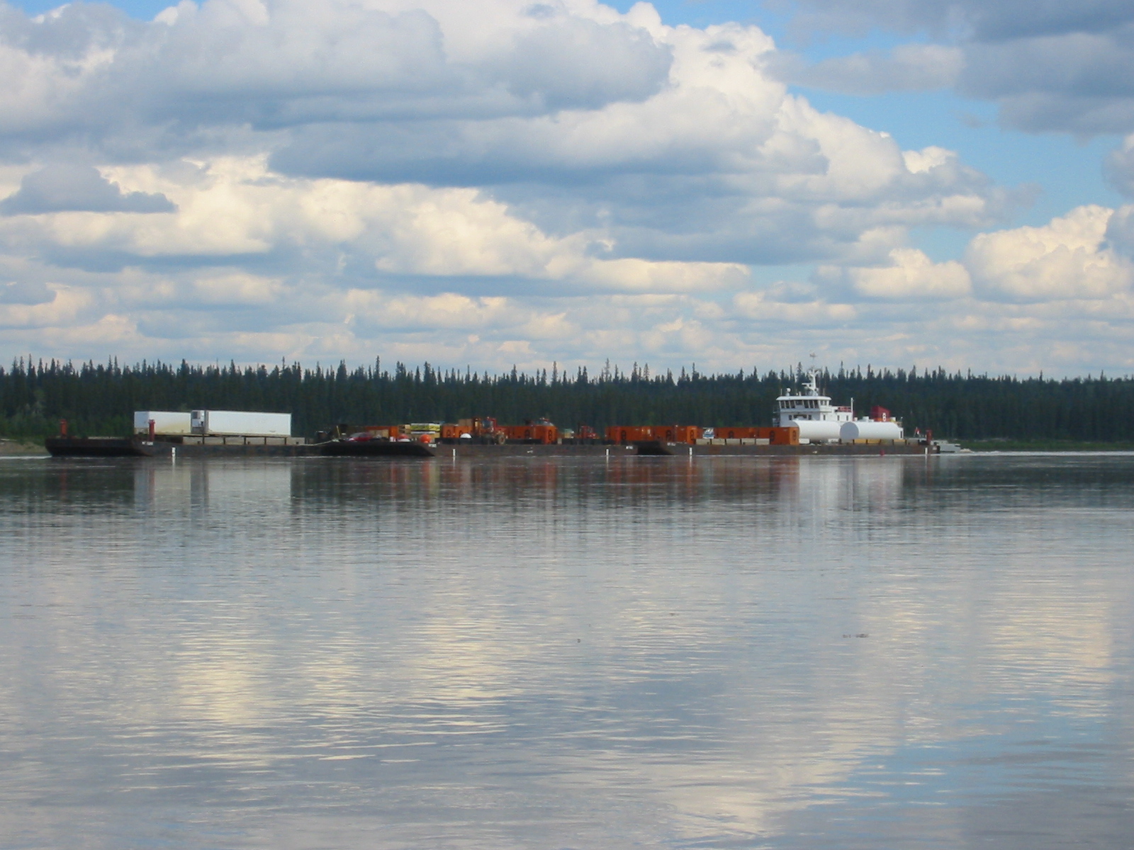
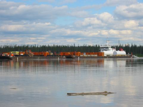
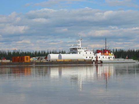
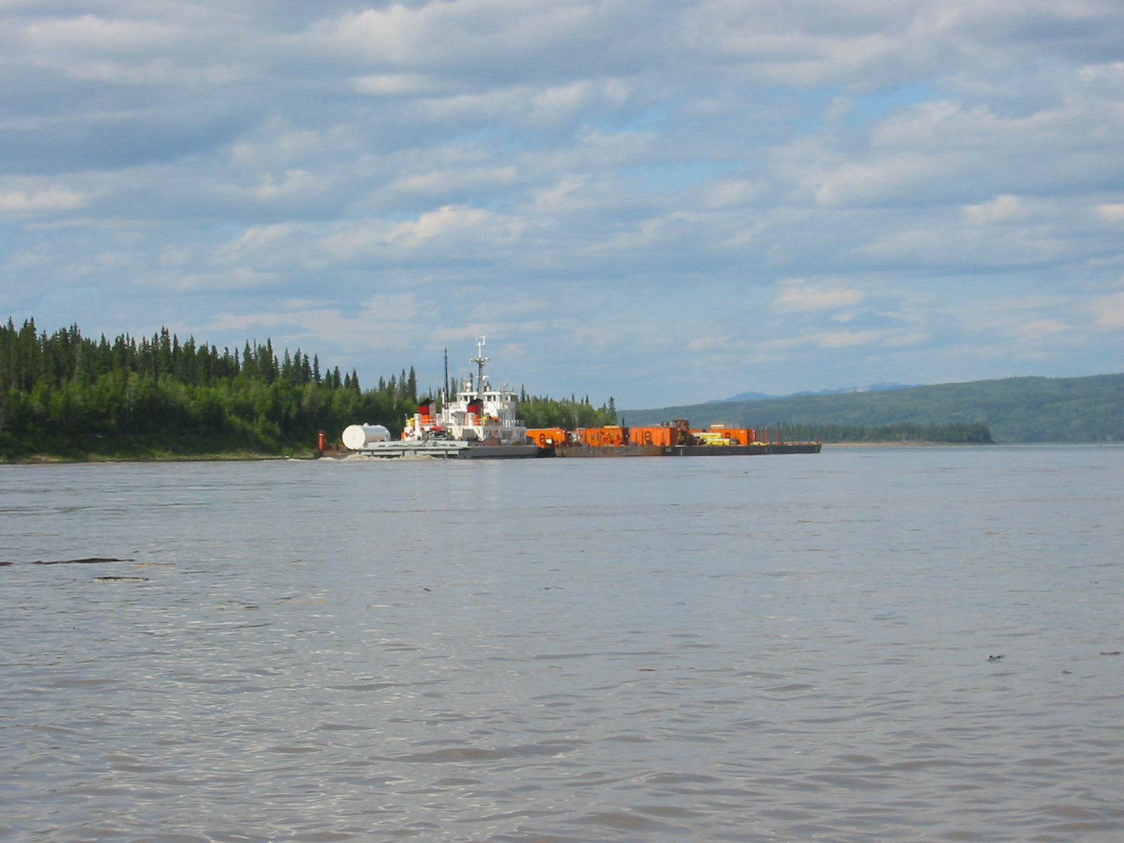
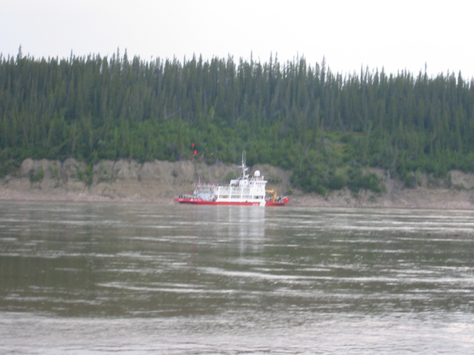
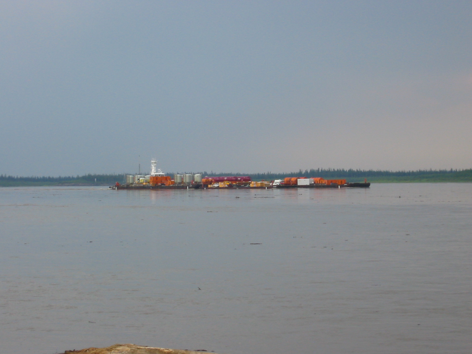
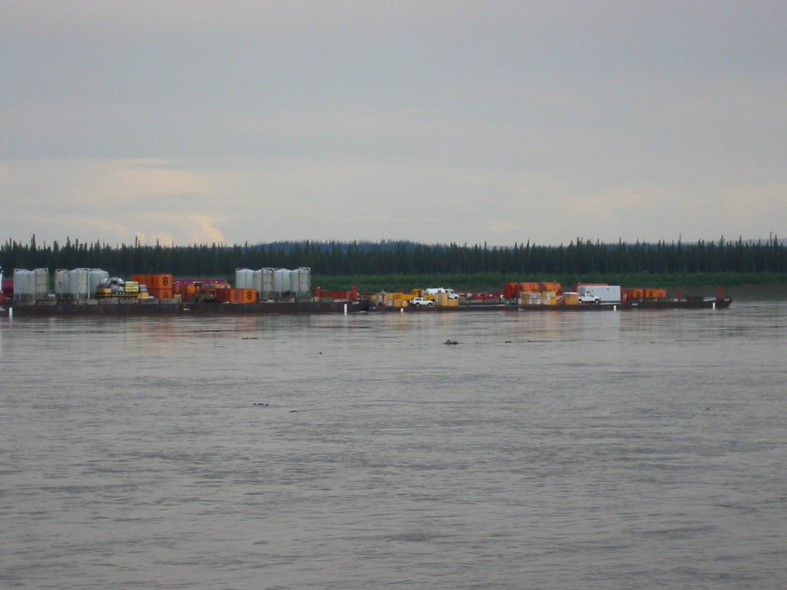
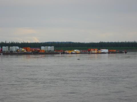
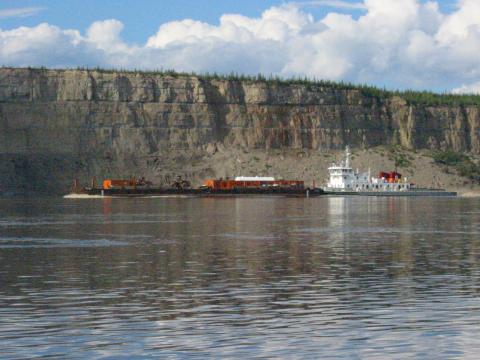
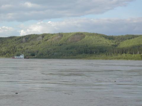
| 1185591172.JPG | 1185591172-pv.JPG | Barge heading downriver on day 10 | mrd |
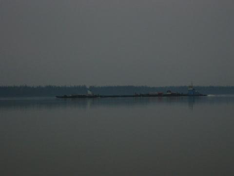
| 1185591189.JPG | 1185591189-pv.JPG | Barge heading downriver on day 10 | mrd |
| 1185591204.JPG | 1185591204-pv.JPG | Barge heading downriver on day 10 | mrd |
| 1185591221.JPG | 1185591221-pv.JPG | Barge heading downriver on day 10 | mrd |
| 1185591241.JPG | 1185591241-pv.JPG | Barge heading downriver on day 10 | mrd |
| 1185591263.JPG | 1185591263-pv.JPG | Barge heading downriver on day 10 | mrd |
| 1185591278.JPG | 1185591278-pv.JPG | Barge heading downriver on day 10 | mrd |
| 1185591292.JPG | 1185591292-pv.JPG | Barge heading downriver on day 10 | mrd |
| 1185591321.JPG | 1185591321-pv.JPG | View down the canoe of the receding barge | mrd |
| 1185591348.JPG | 1185591348-pv.JPG | Receding barge | mrd |
| 1185591376.JPG | 1185591376-pv.JPG | Ari making dinner the night of day 10 | mrd |
| 1185591397.JPG | 1185591397-pv.JPG | Day 10 campsite | mrd |
| 1185591434.JPG | 1185591434-pv.JPG | Ari looking up from making dinner the night of day 10 | mrd |
| 1185591491.JPG | 1185591491-pv.JPG | Map of Wrigley on the welcome sign at the landing | mrd |
| 1185591508.JPG | 1185591508-pv.JPG | Map of Wrigley on the welcome sign at the landing | mrd |
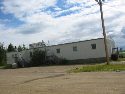
| 1185591597.JPG | 1185591597-pv.JPG | Petanea Hotel in Wrigley | mrd |
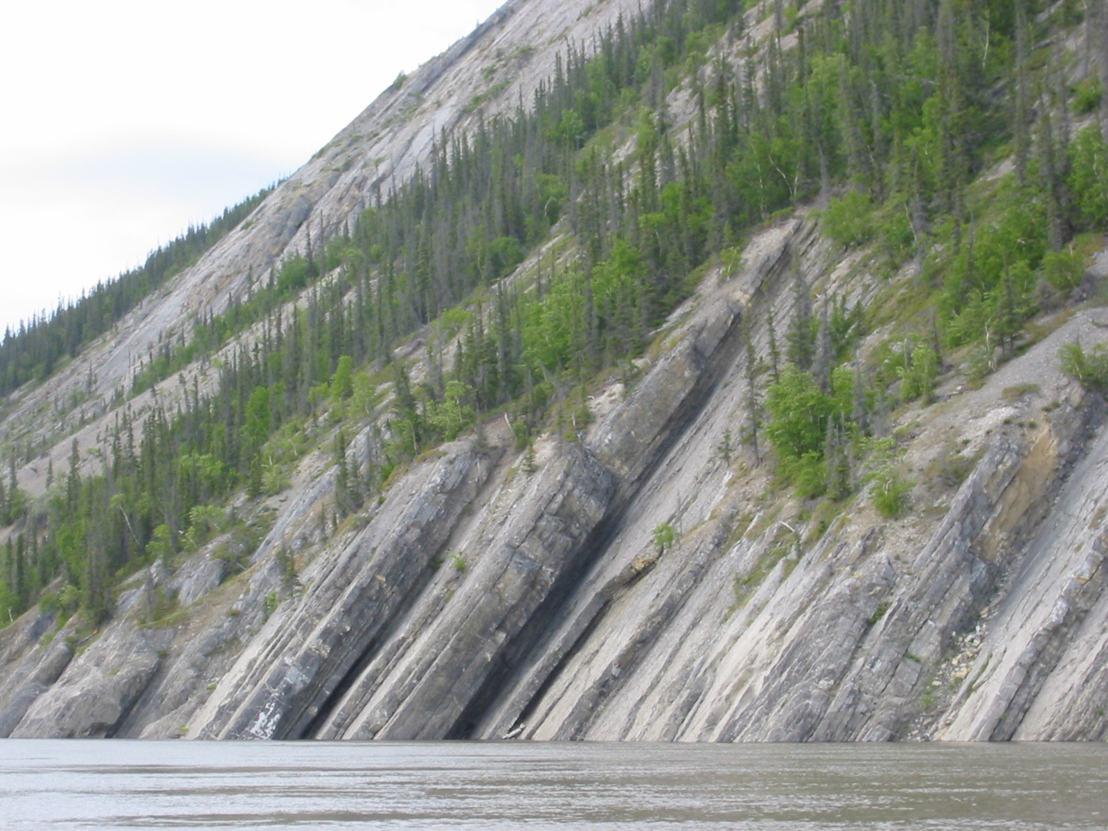
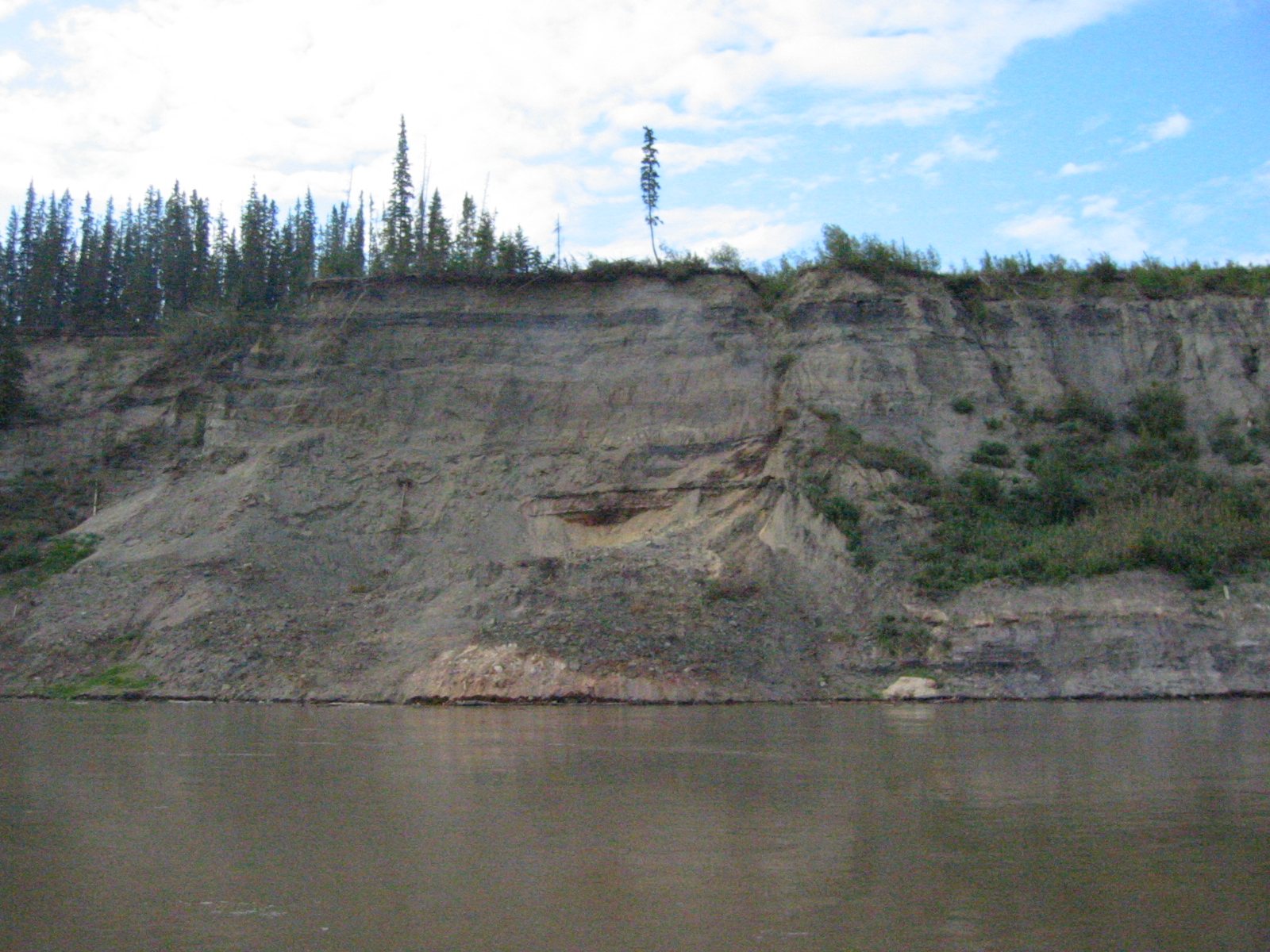
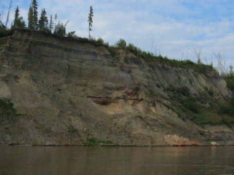
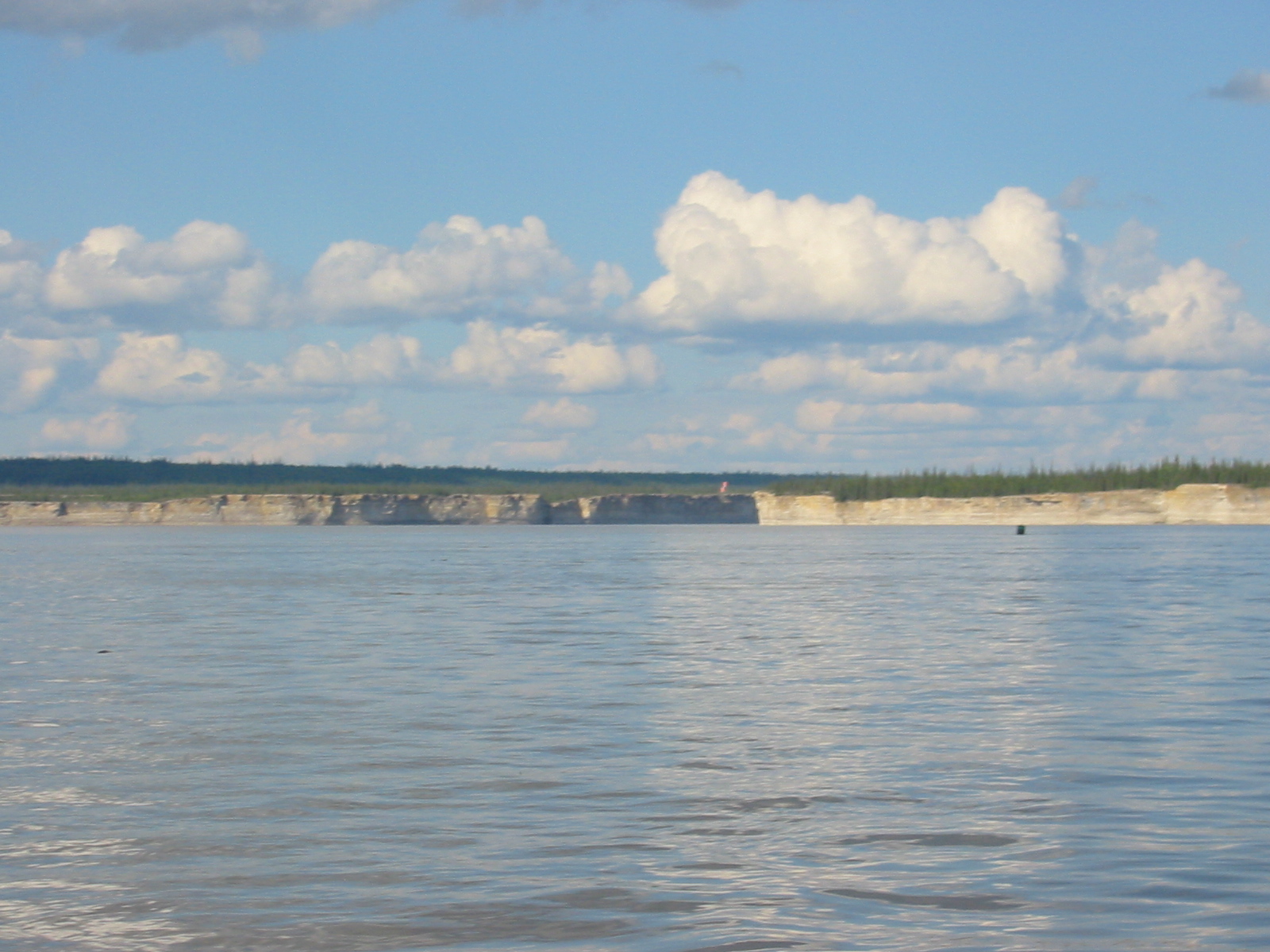
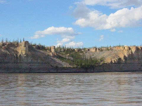
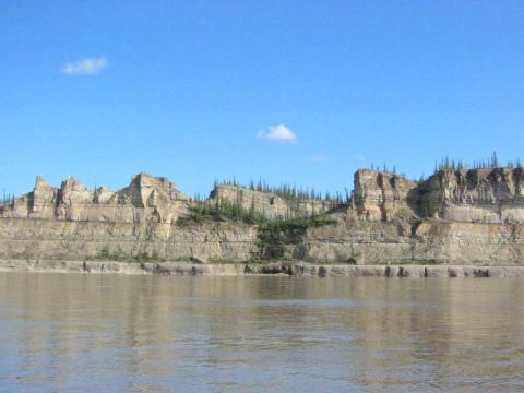
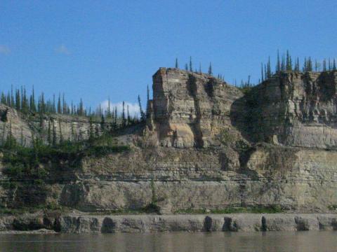
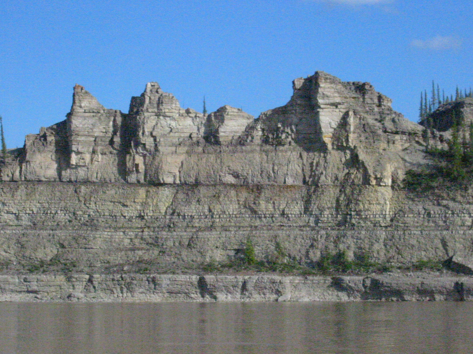
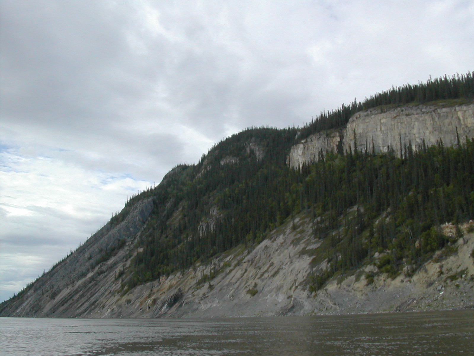
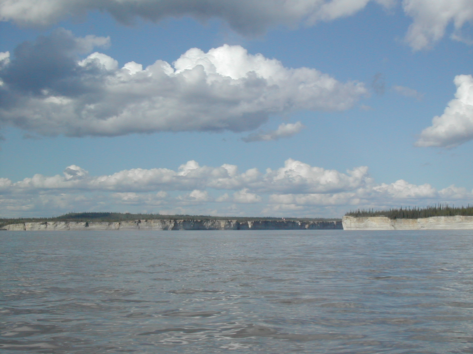
| 1185591633.JPG | 1185591633-pv.JPG | A very exciting rockface at the base of an island on day 11 | mrd |
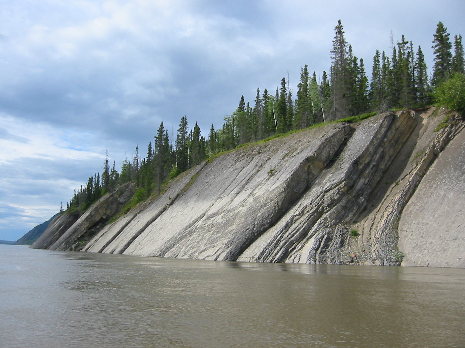
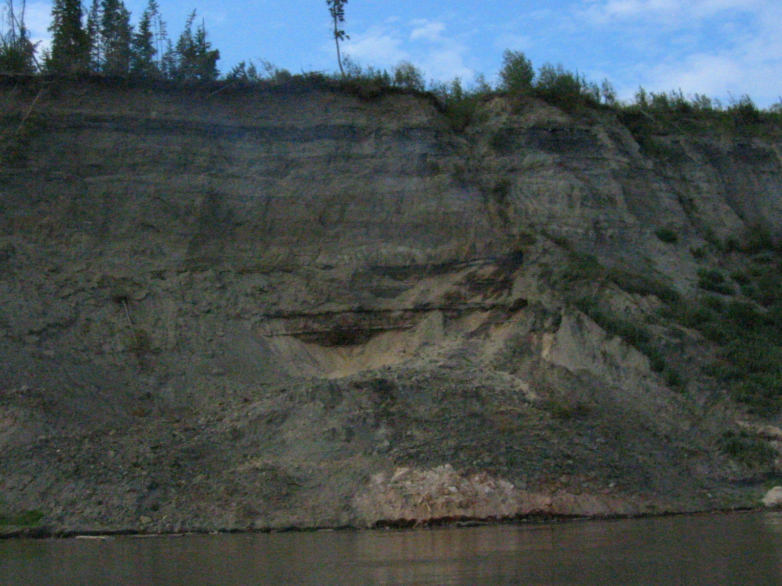
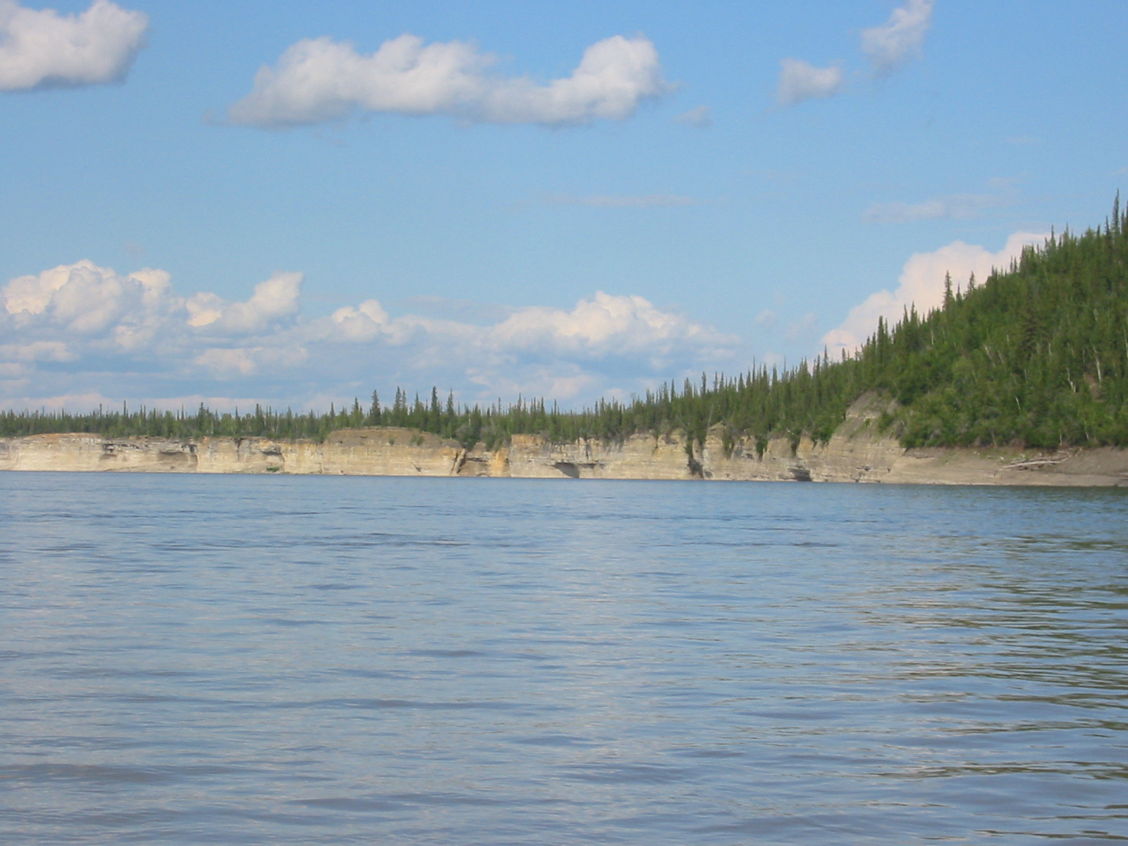
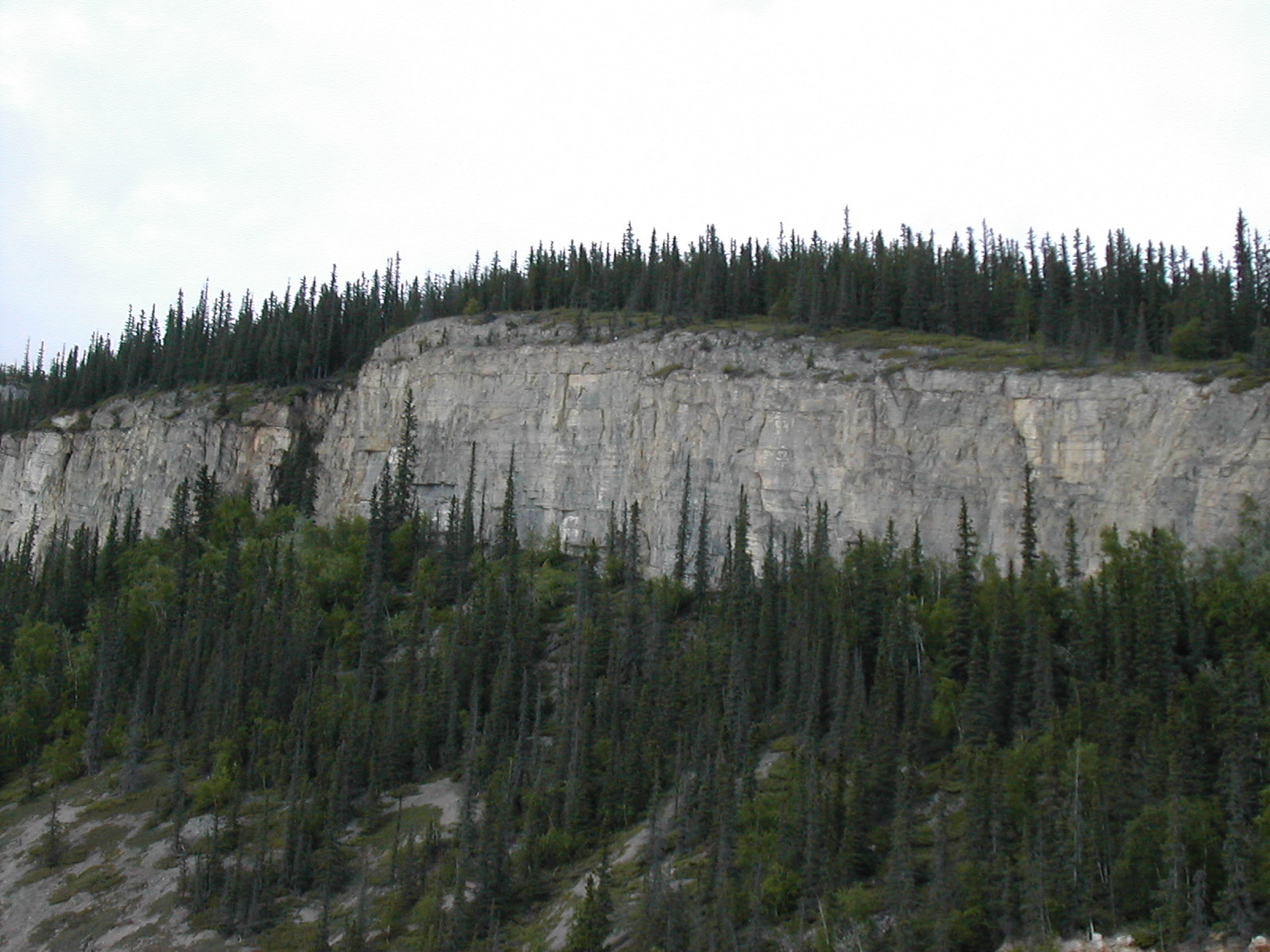
| 1185591727.JPG | 1185591727-pv.JPG | Rockface leading up to La Roche Qui Trempe a L'Eau | mrd |
| 1185591750.JPG | 1185591750-pv.JPG | Rockface leading up to La Roche Qui Trempe a L'Eau | mrd |
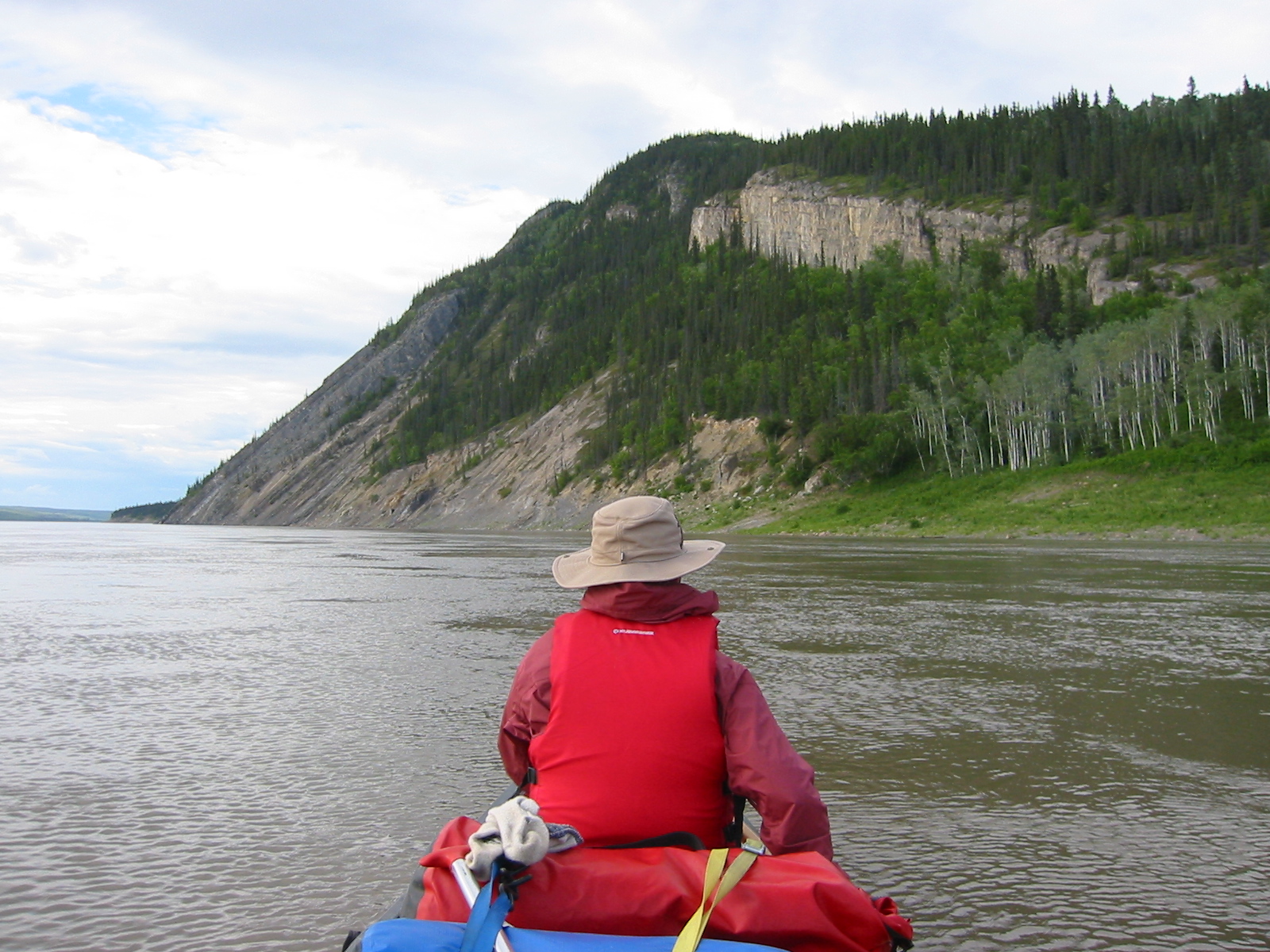
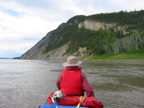
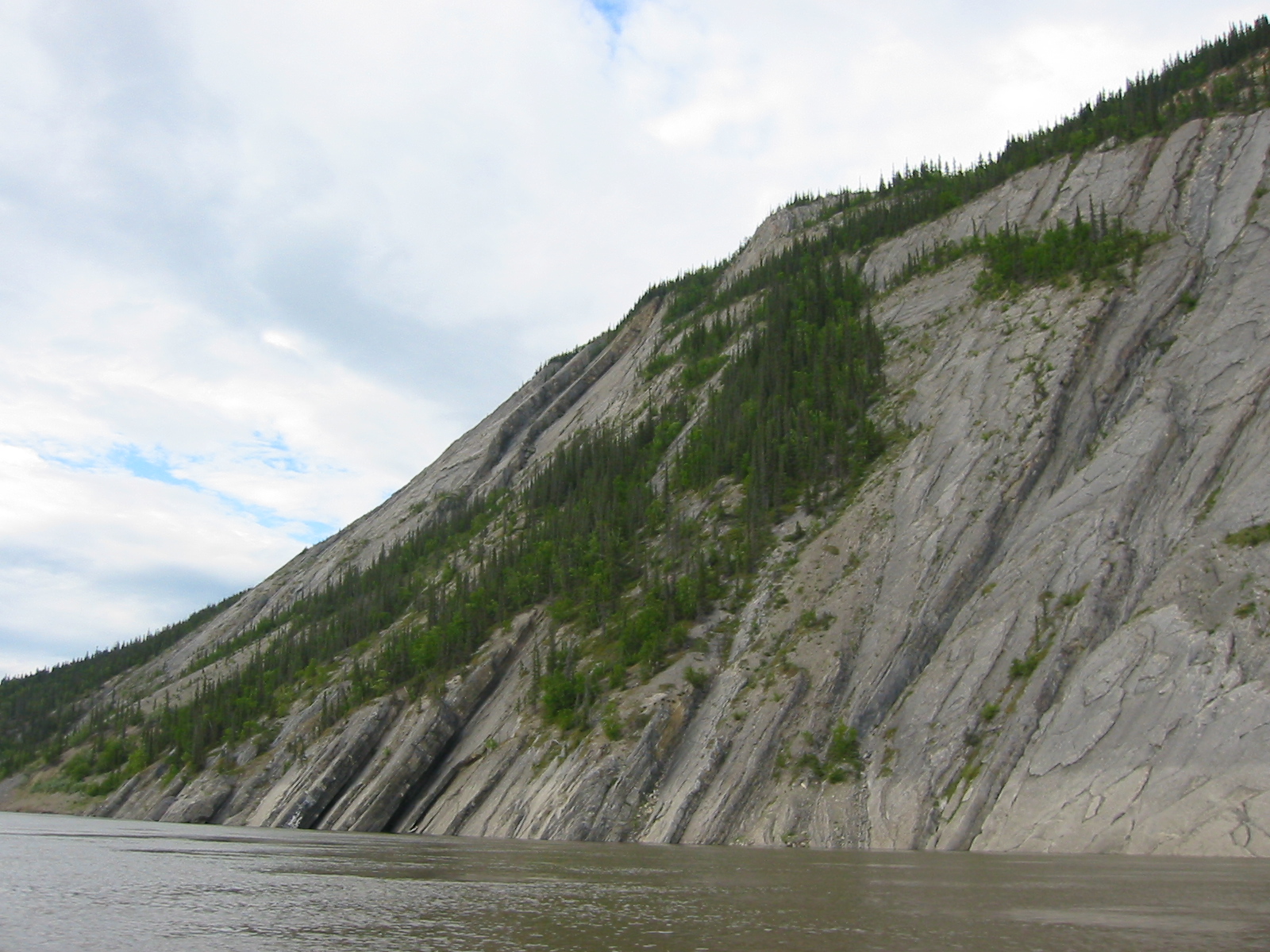
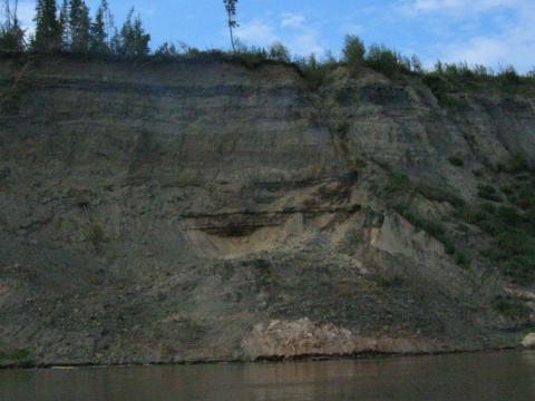
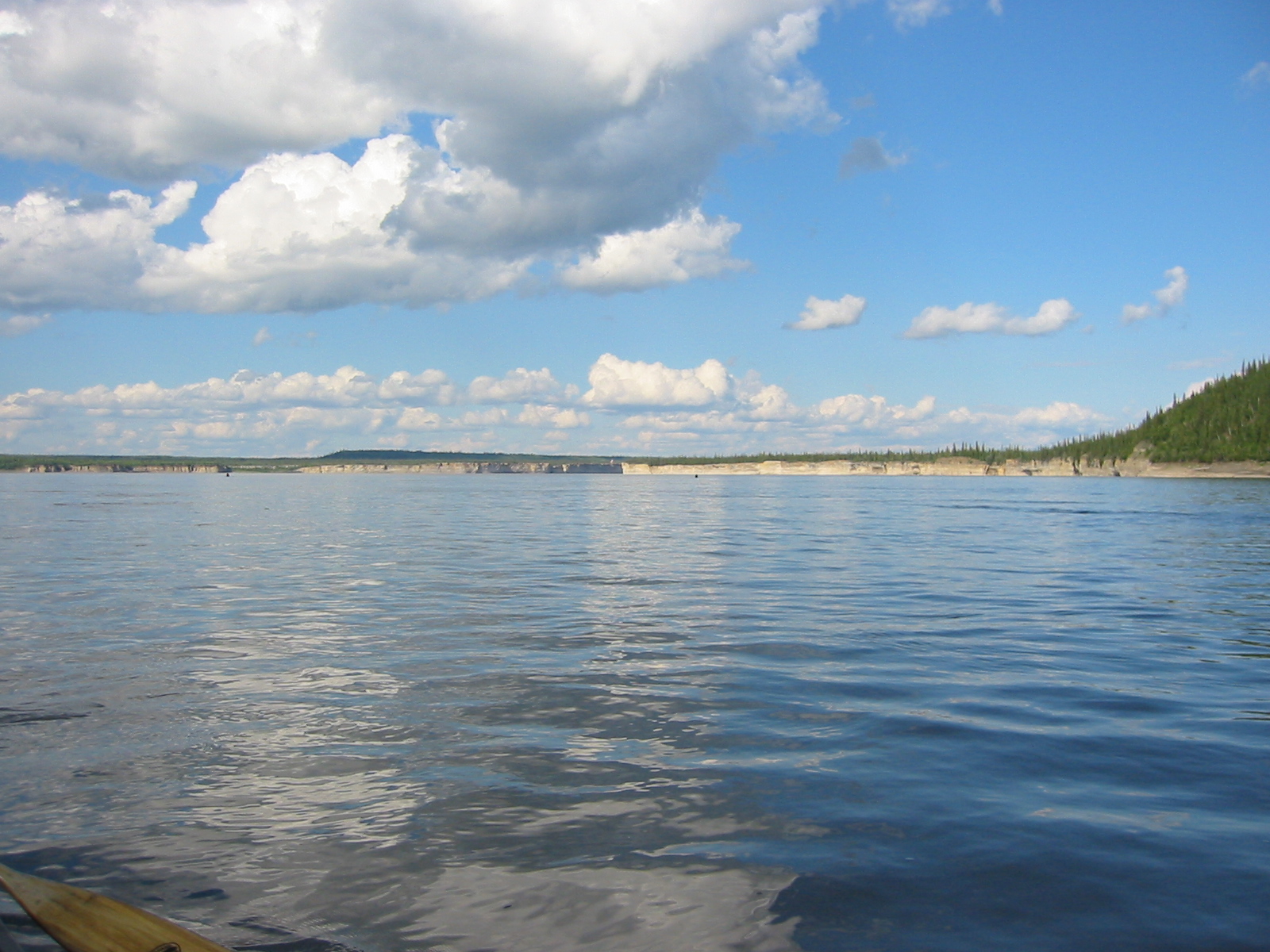
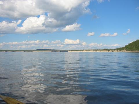
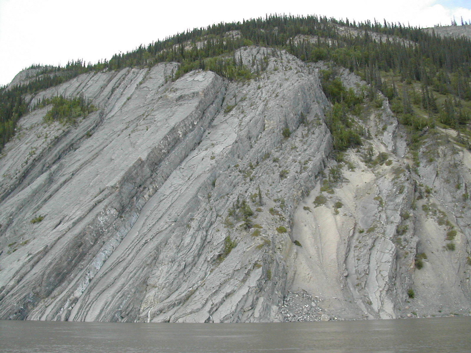
| 1185591784.JPG | 1185591784-pv.JPG | Approaching La Roche Qui Trempe a L'Eau | mrd |
| 1185591805.JPG | 1185591805-pv.JPG | Approaching La Roche Qui Trempe a L'Eau | mrd |
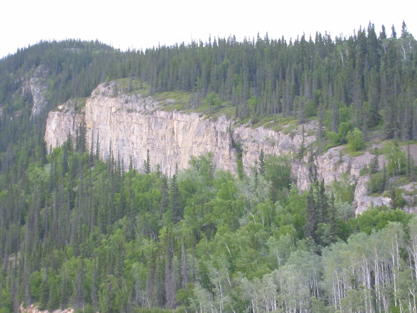
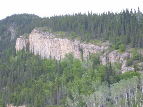
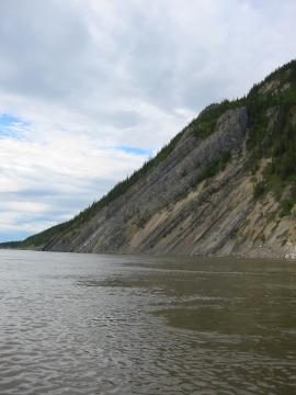
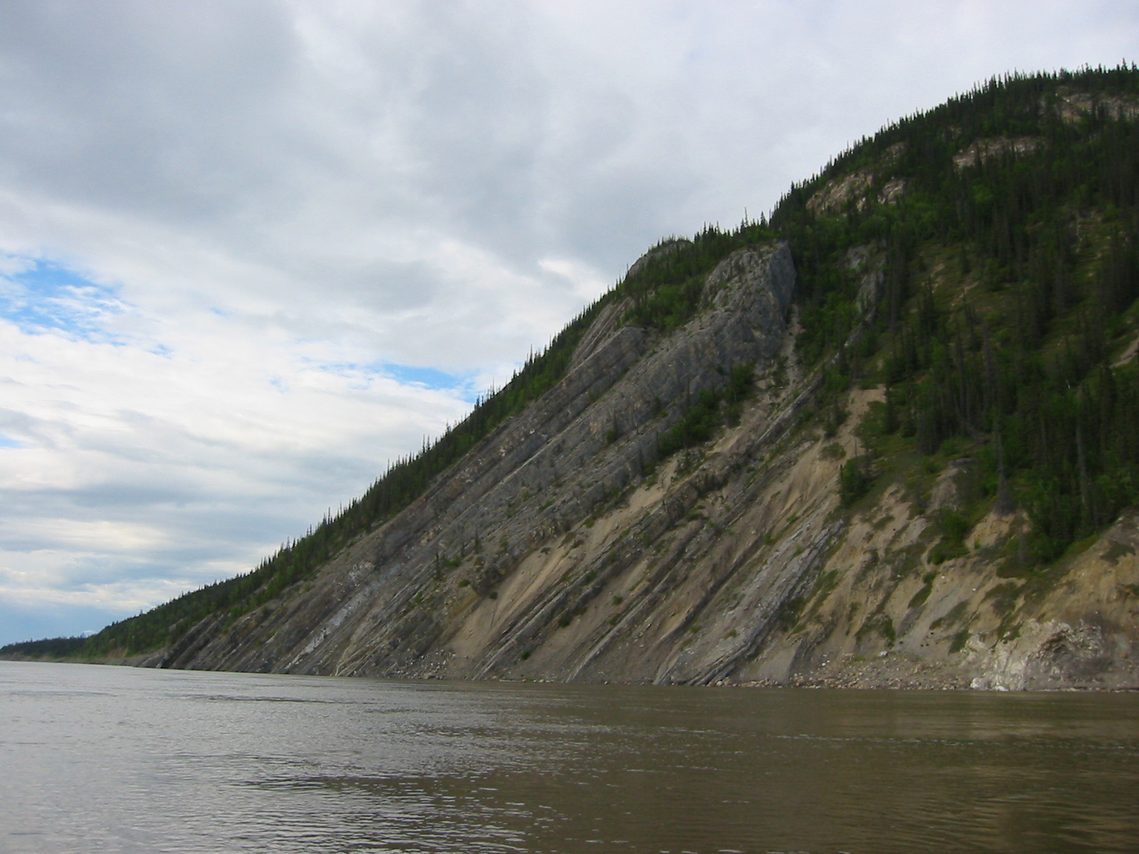
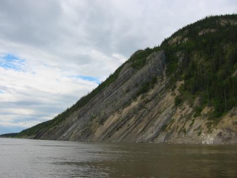
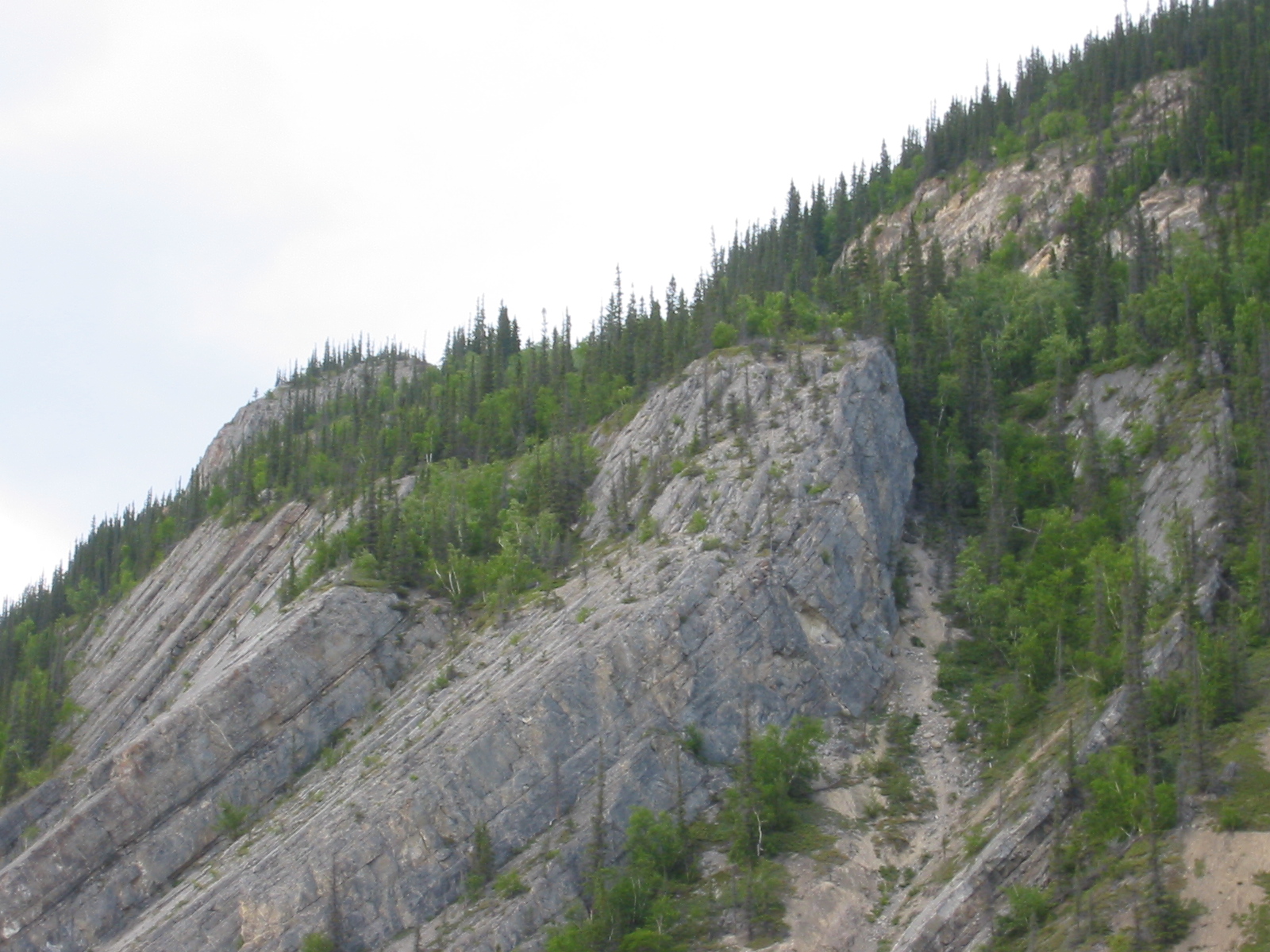
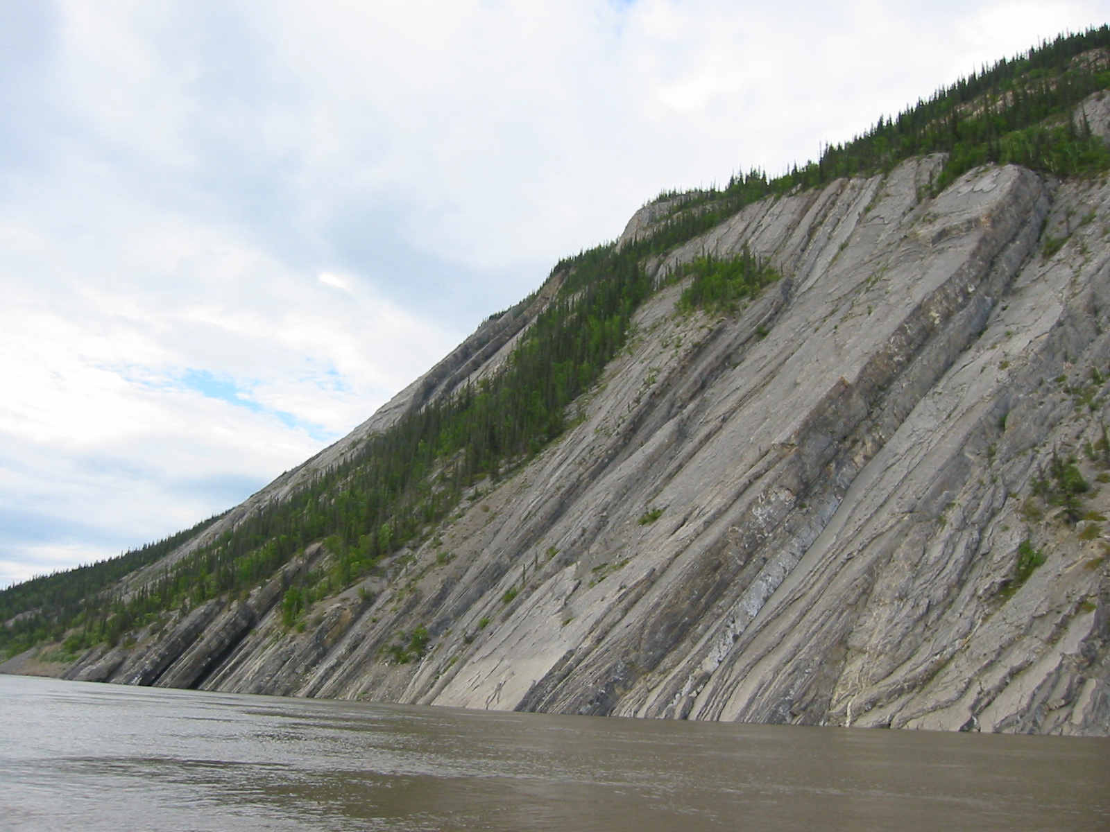
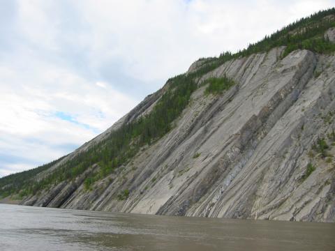
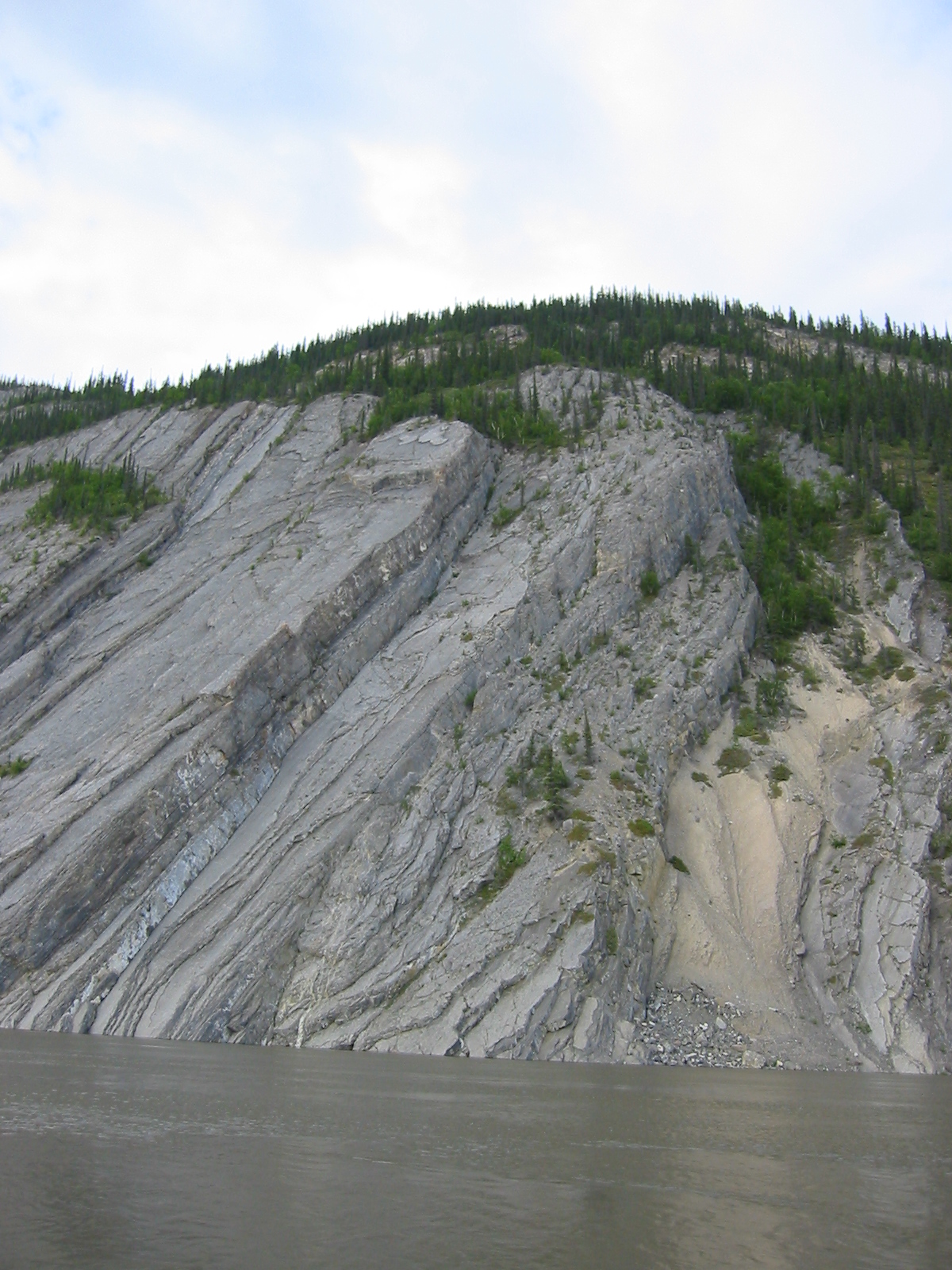
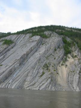
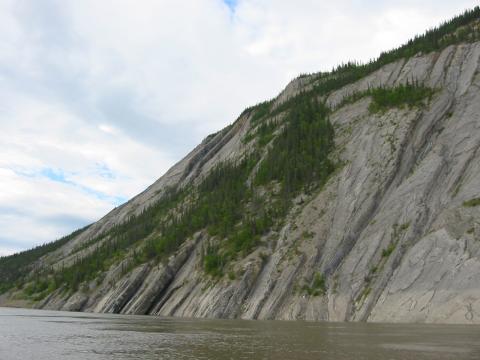
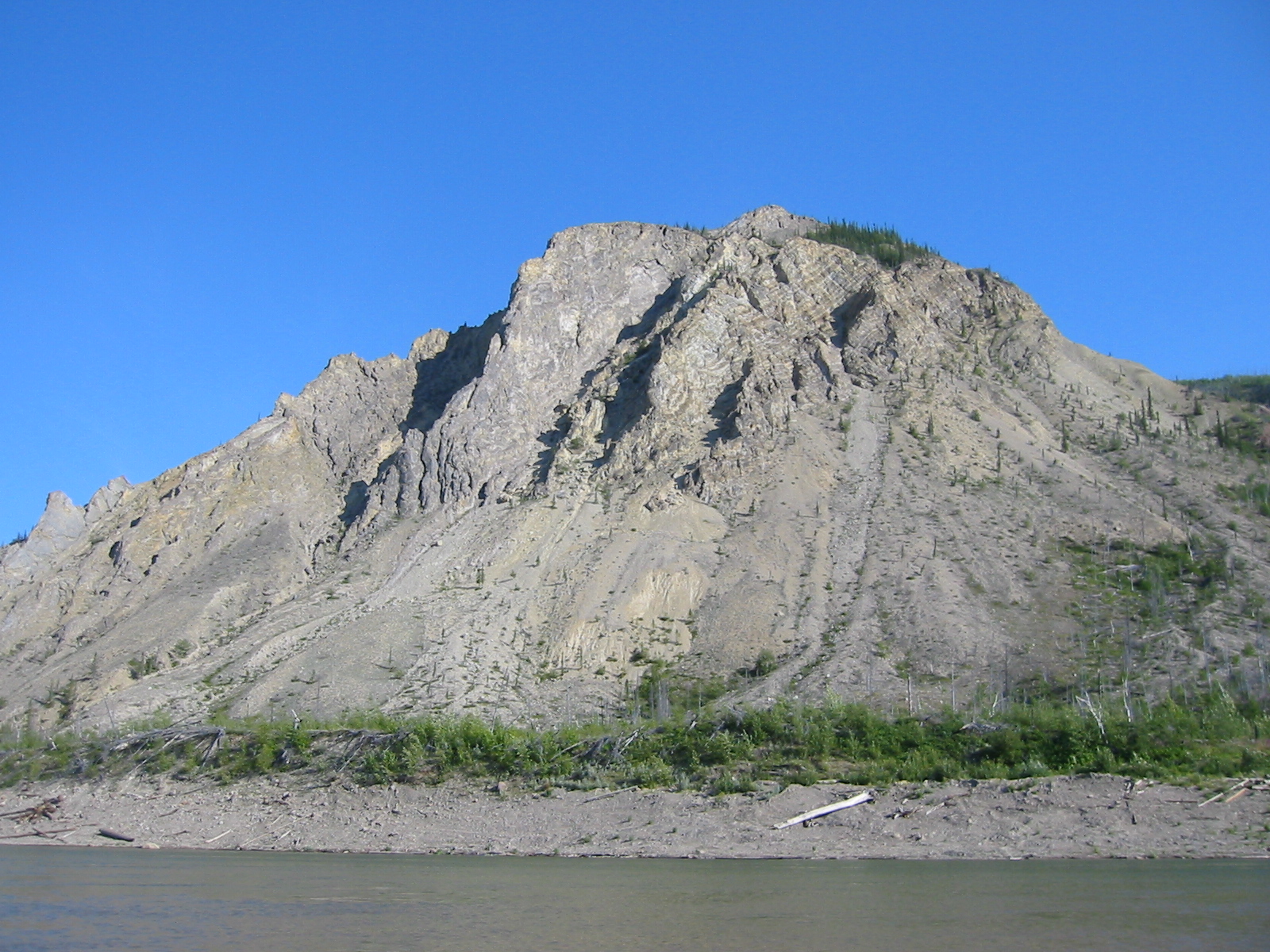
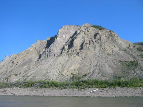
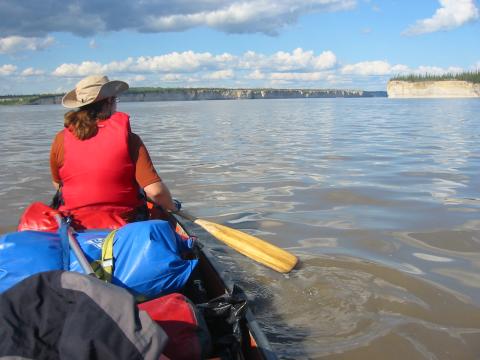
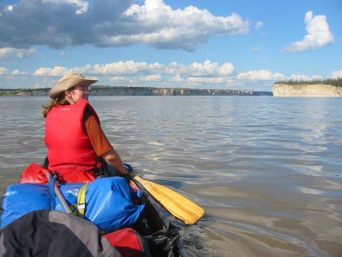
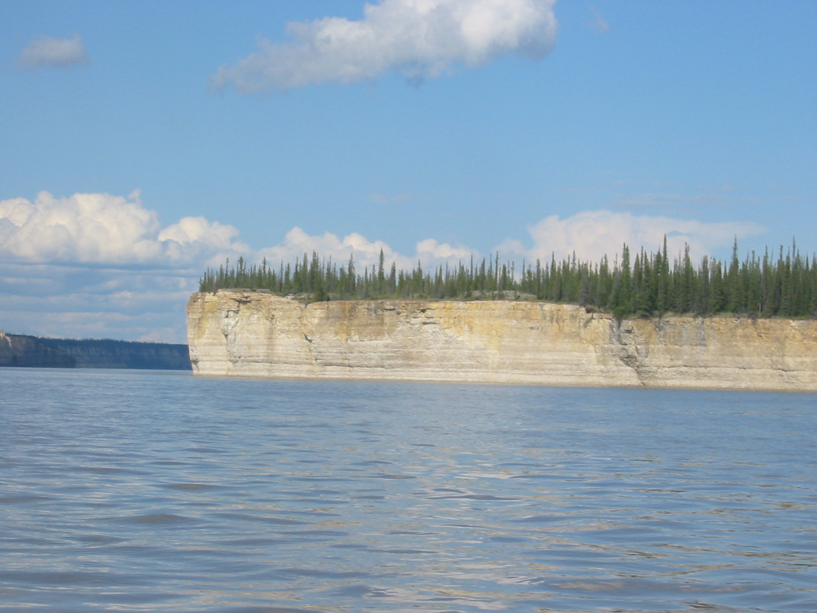
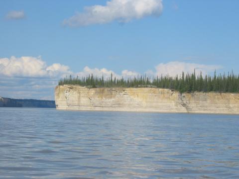
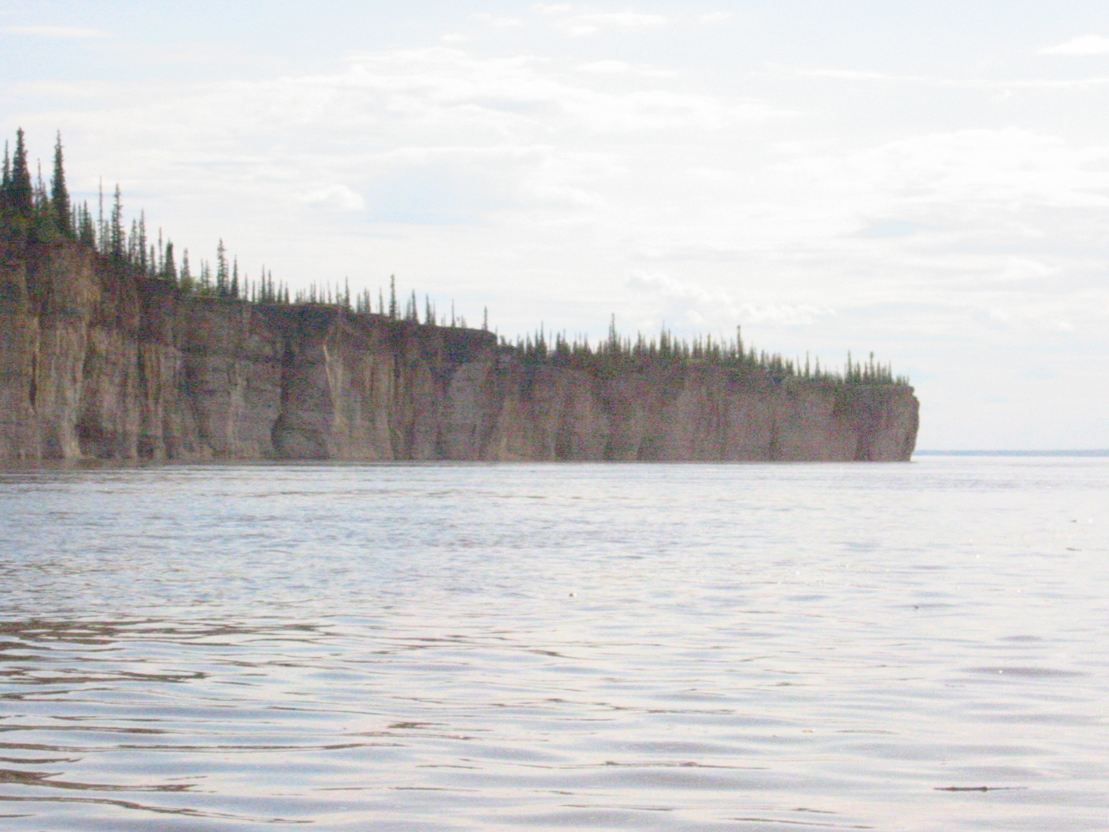
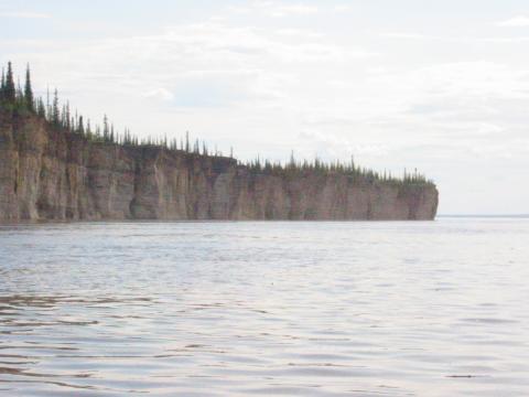
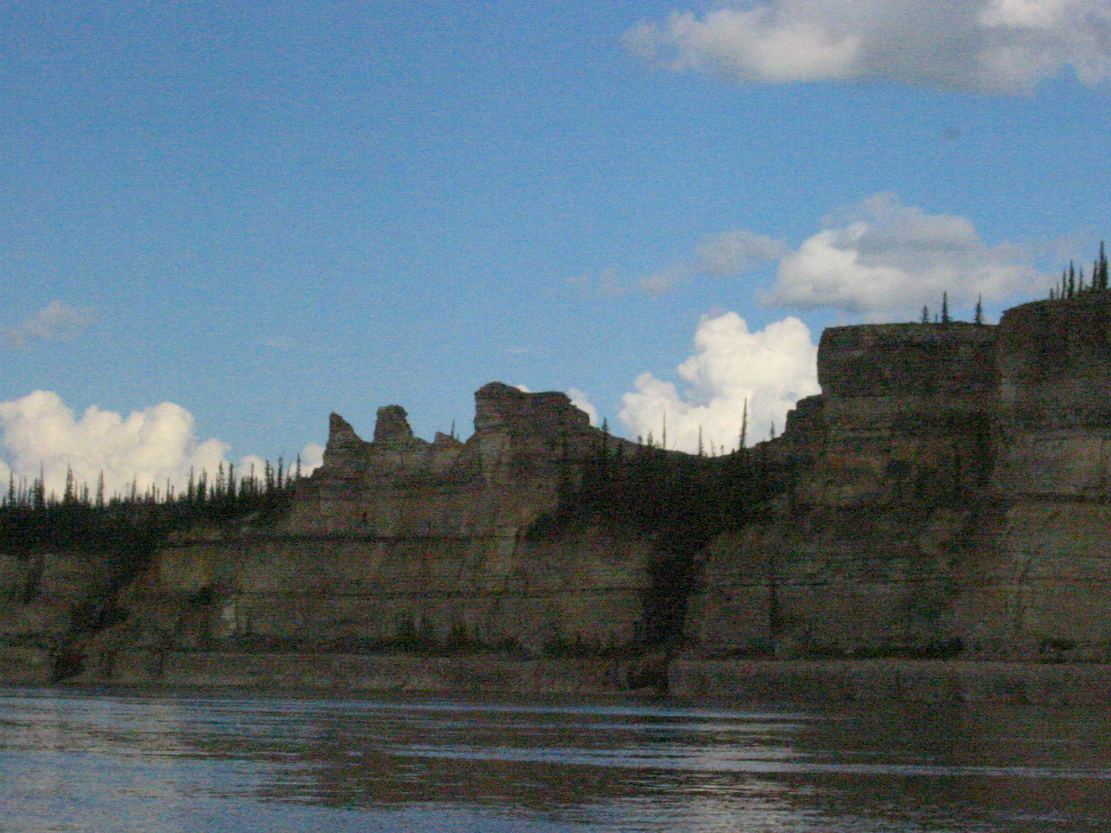
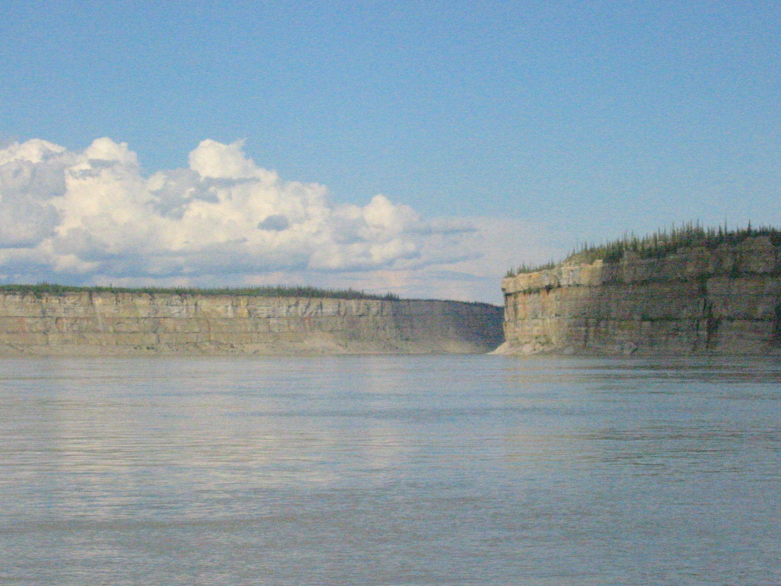
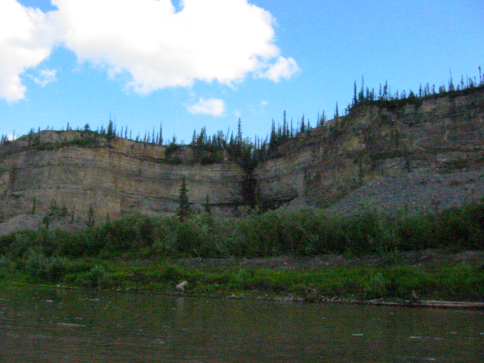
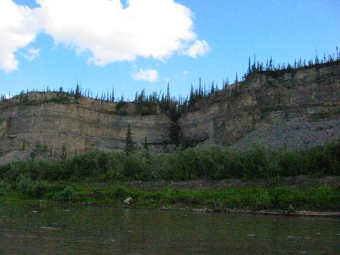
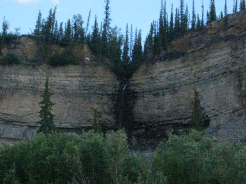
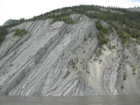
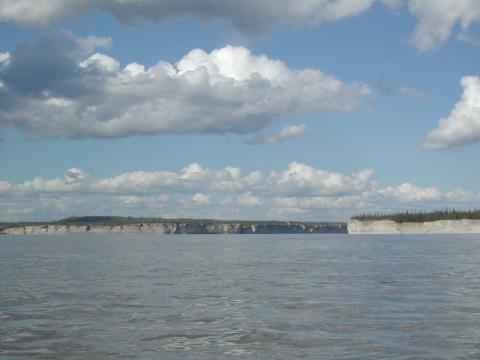
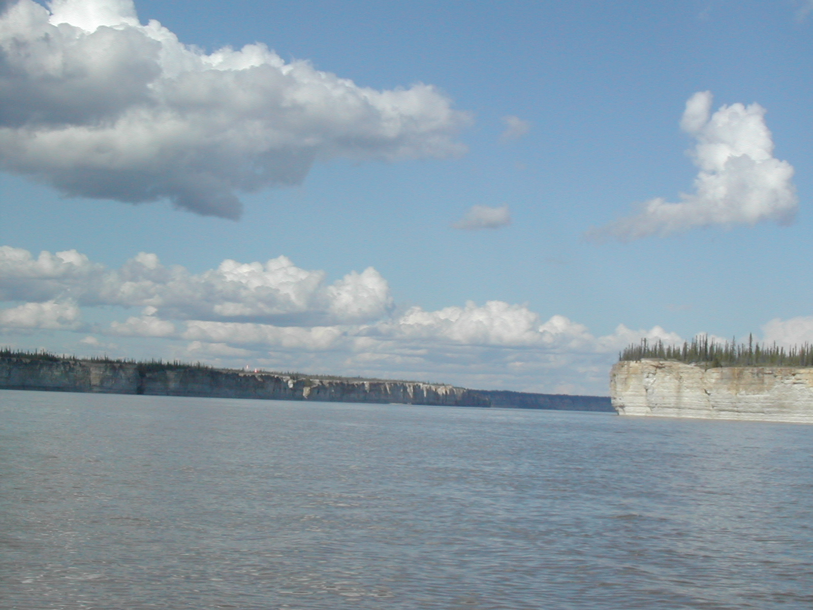
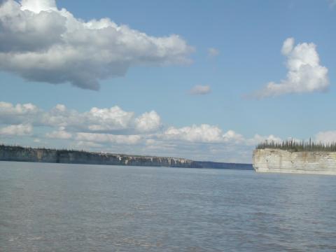
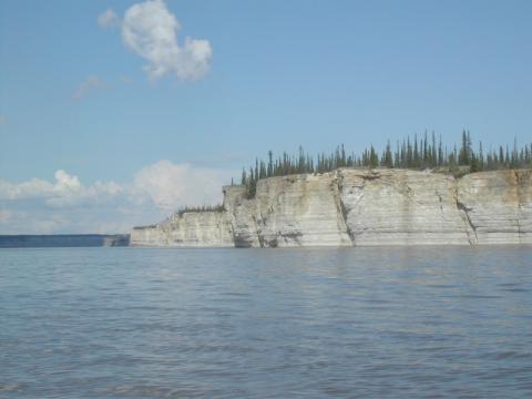
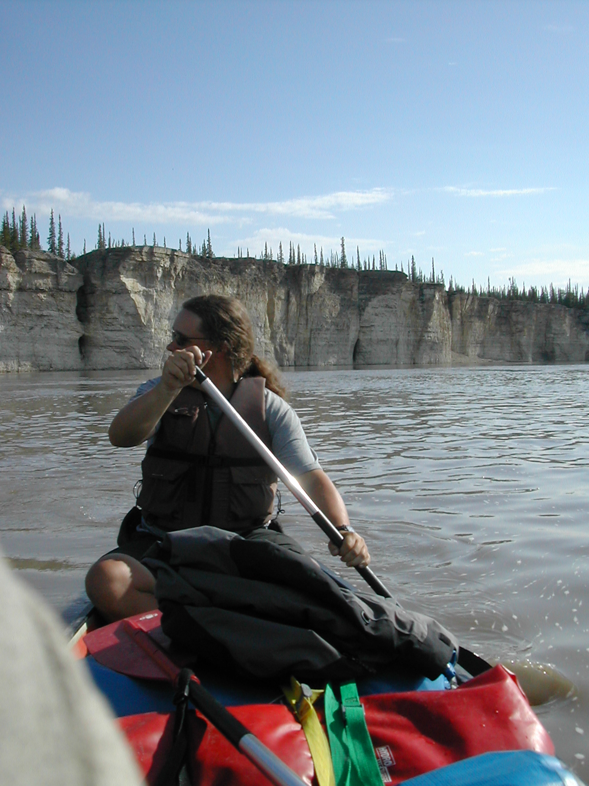
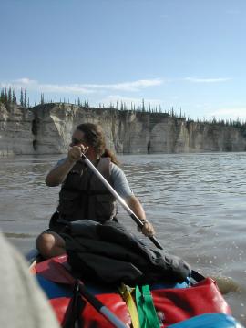
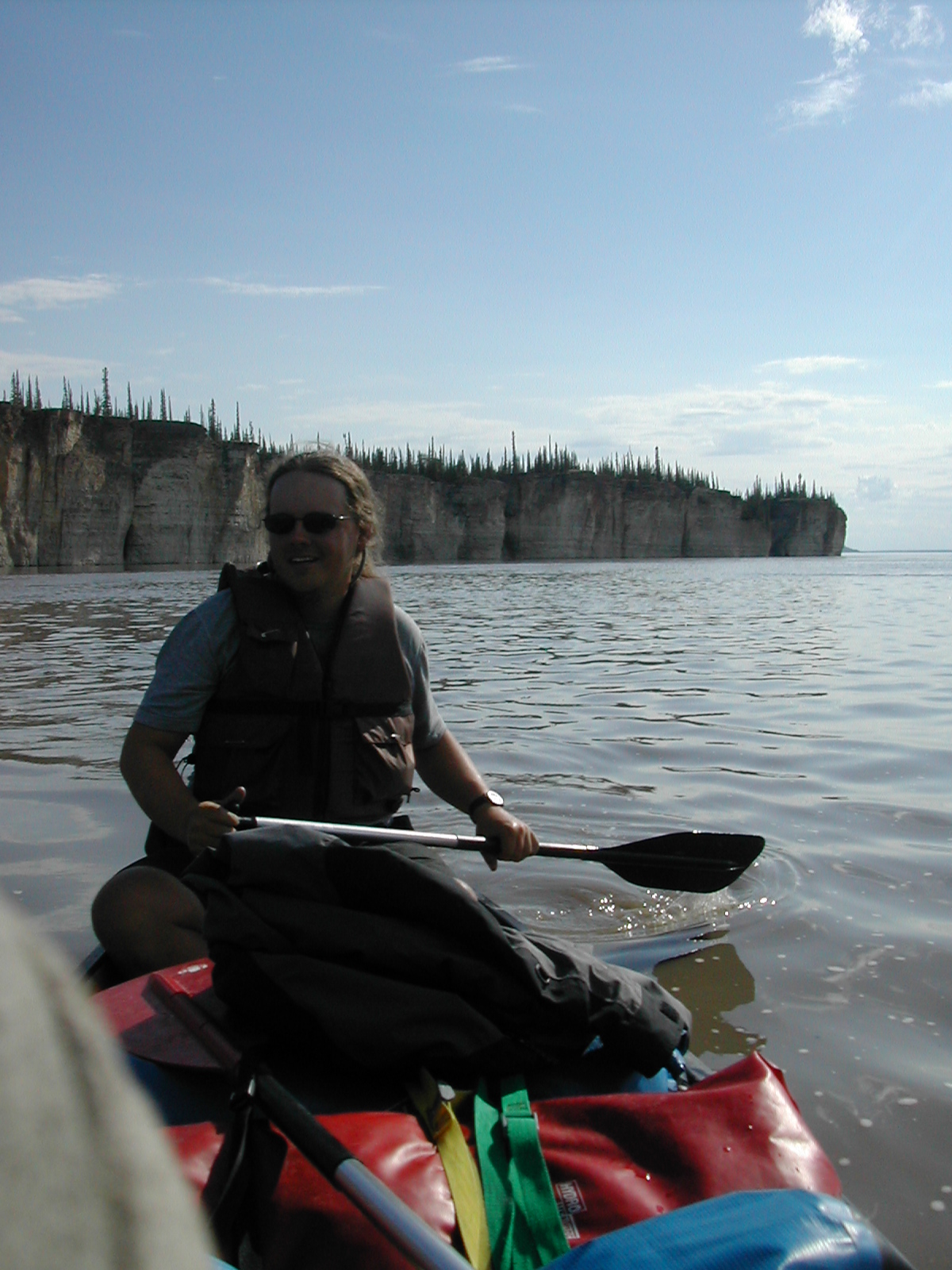
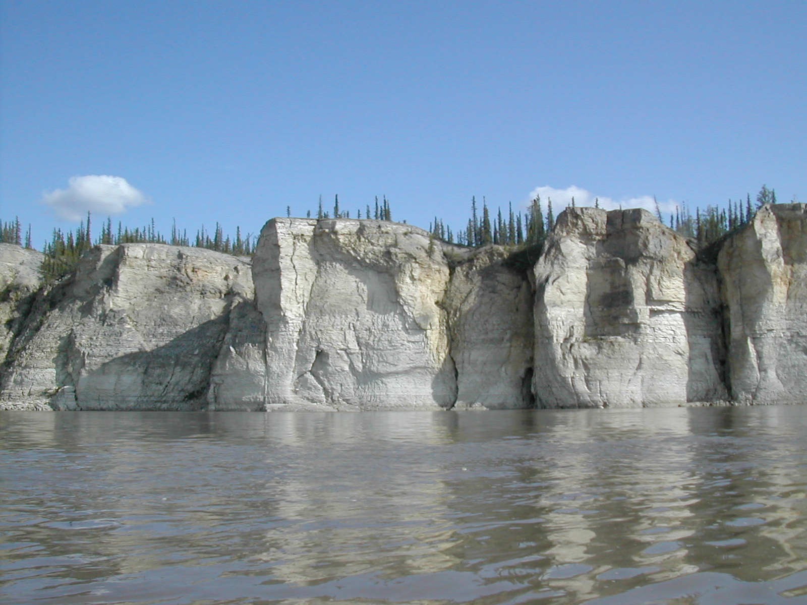
| 1185591831.JPG | 1185591831-pv.JPG | La Roche Qui Trempe a L'Eau | mrd |
| 1185591857.JPG | 1185591857-pv.JPG | Canoe view of La Roche Qui Trempe a L'Eau | mrd |
| 1185591881.JPG | 1185591881-pv.JPG | La Roche Qui Trempe a L'Eau | mrd |
| 1185591902.JPG | 1185591902-pv.JPG | La Roche Qui Trempe a L'Eau | mrd |
| 1185591924.JPG | 1185591924-pv.JPG | La Roche Qui Trempe a L'Eau | mrd |
| 1185591941.JPG | 1185591941-pv.JPG | La Roche Qui Trempe a L'Eau | mrd |
| 1185591959.JPG | 1185591959-pv.JPG | La Roche Qui Trempe a L'Eau | mrd |
| 1185592004.JPG | 1185592004-pv.JPG | La Roche Qui Trempe a L'Eau | mrd |
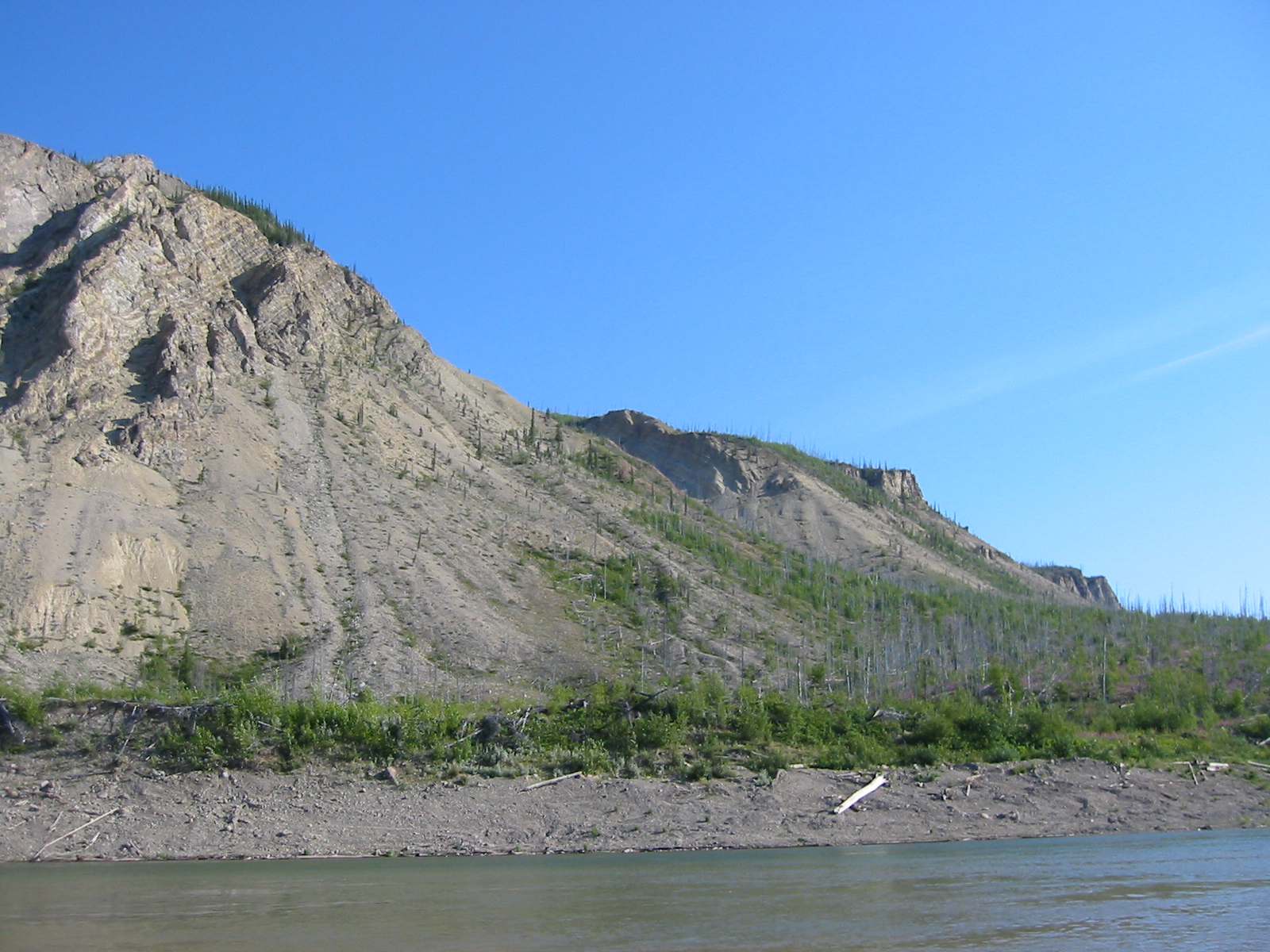
| 1185592025.JPG | 1185592025-pv.JPG | La Roche Qui Trempe a L'Eau | mrd |
| 1185592048.JPG | 1185592048-pv.JPG | La Roche Qui Trempe a L'Eau | mrd |
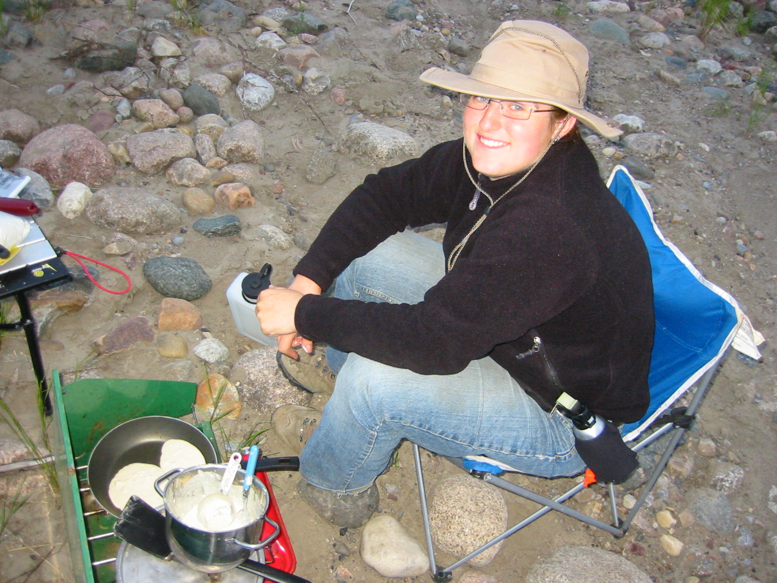
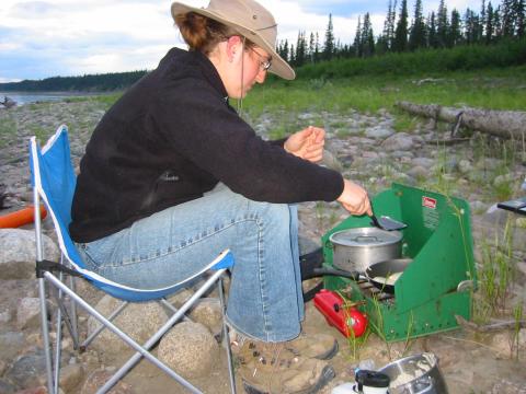
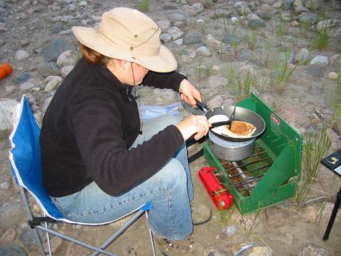
| 1185592191.JPG | 1185592191-pv.JPG | Ari making pancakes for dinner on day 11 | mrd |
| 1185592210.JPG | 1185592210-pv.JPG | Ari making pancakes for dinner on day 11 | mrd |
| 1185592227.JPG | 1185592227-pv.JPG | Ari making pancakes for dinner on day 11 | mrd |
| 1185592246.JPG | 1185592246-pv.JPG | Ari making pancakes for dinner on day 11 | mrd |
| 1185592281.JPG | 1185592281-pv.JPG | Canadian Coast Guard buoy maintenance vehicle on day 12 | mrd |
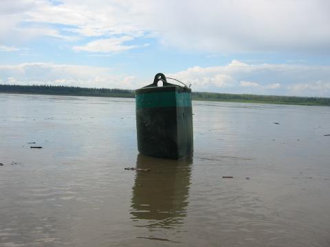
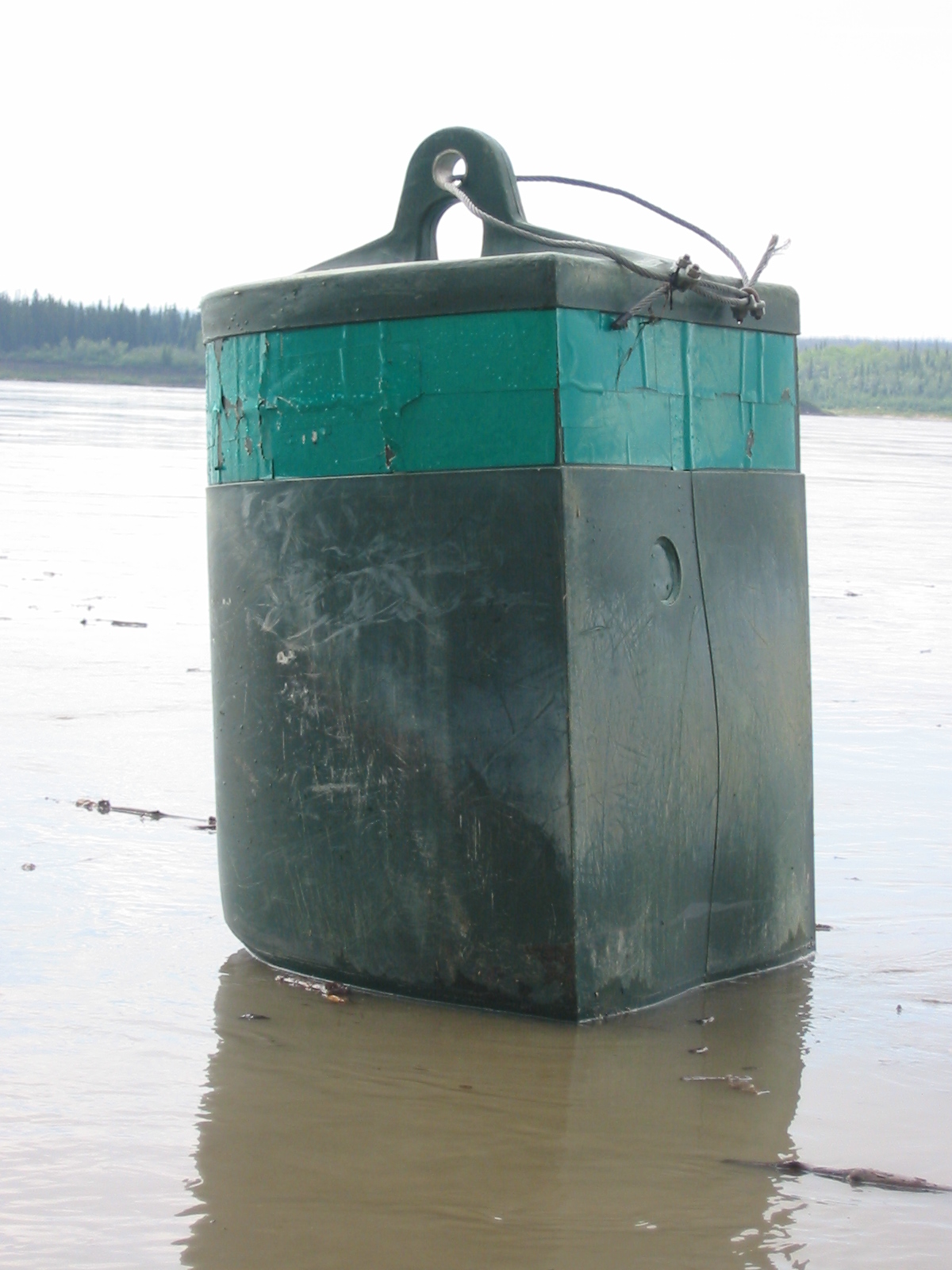
| 1185592316.JPG | 1185592316-pv.JPG | Rogue buoy on the shore | mrd |
| 1185592353.JPG | 1185592353-pv.JPG | Rogue buoy on the shore | mrd |
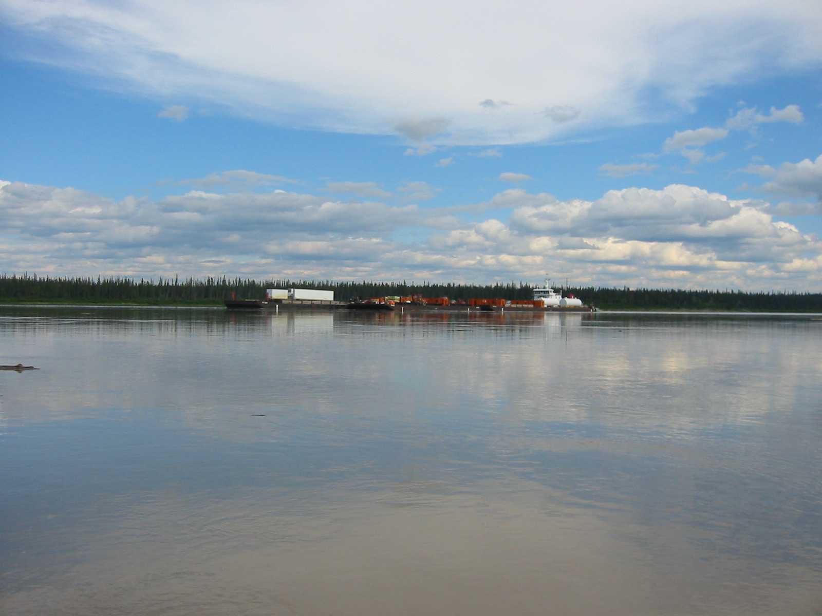
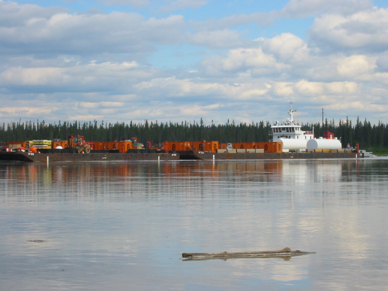
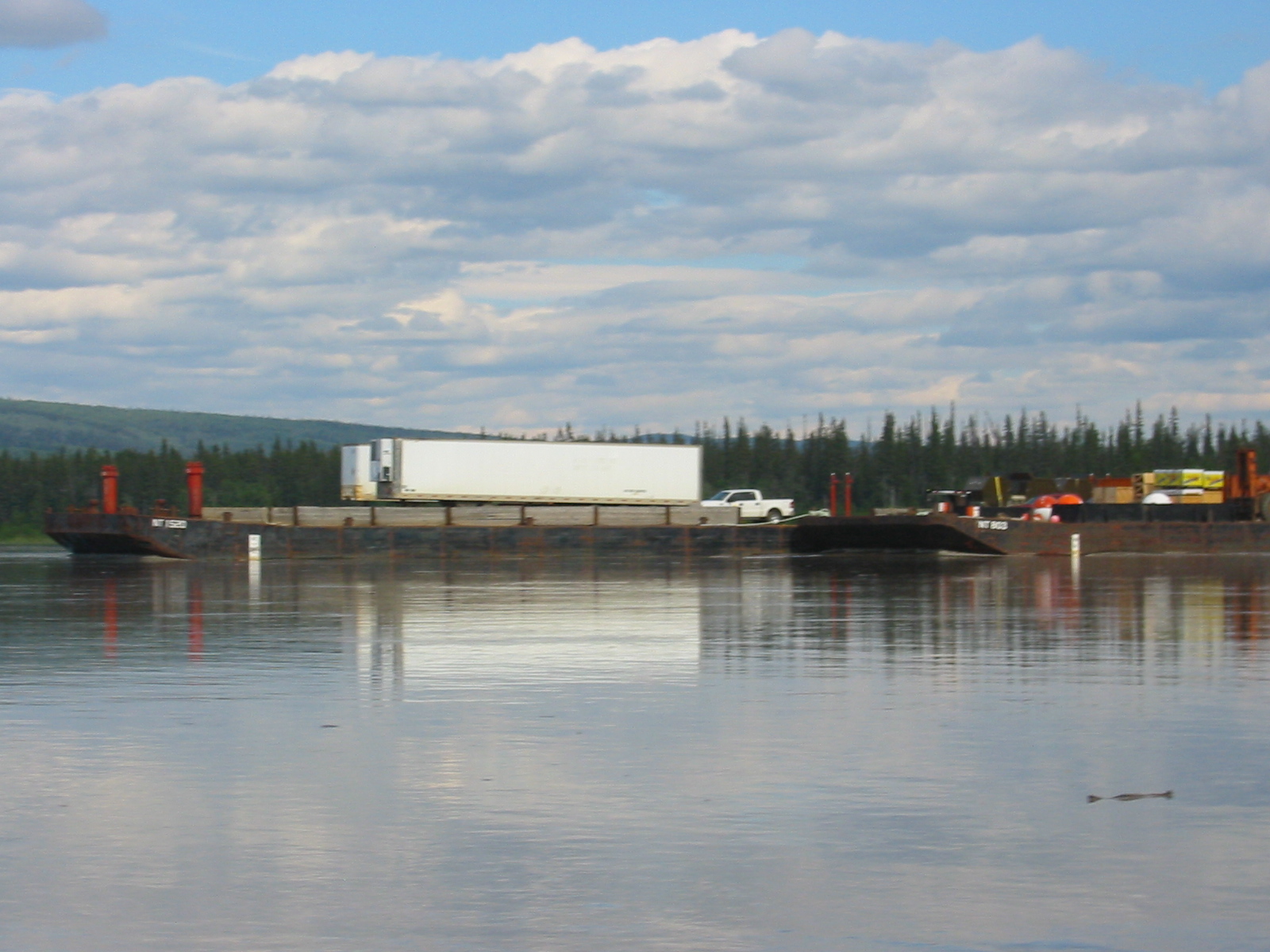
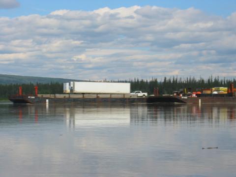
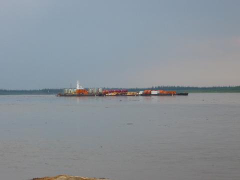
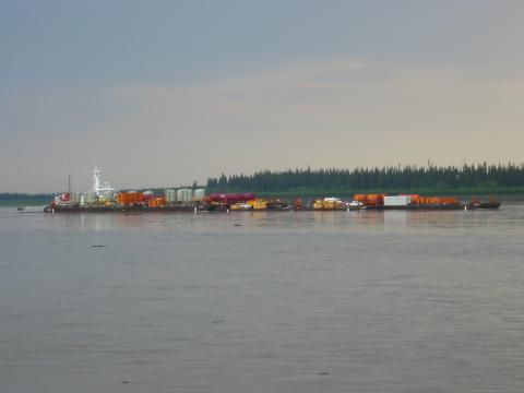
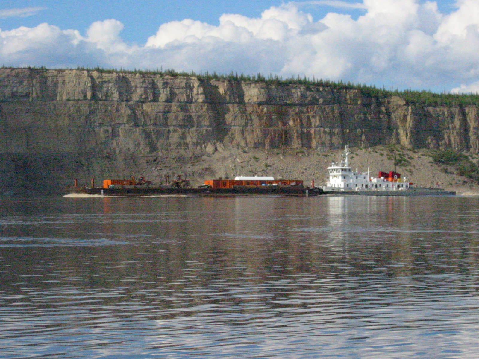
| 1185592433.JPG | 1185592433-pv.JPG | Barge heading down river with the Pathfinder | mrd |
| 1185592455.JPG | 1185592455-pv.JPG | Barge heading down river with the Pathfinder | mrd |
| 1185592646.JPG | 1185592646-pv.JPG | Barge heading down river with the Pathfinder | mrd |
| 1185592767.JPG | 1185592767-pv.JPG | Barge heading down river with the Pathfinder | mrd |
| 1185592794.JPG | 1185592794-pv.JPG | Barge heading down river with the Pathfinder | mrd |
| 1185592810.JPG | 1185592810-pv.JPG | Barge heading down river with the Pathfinder | mrd |
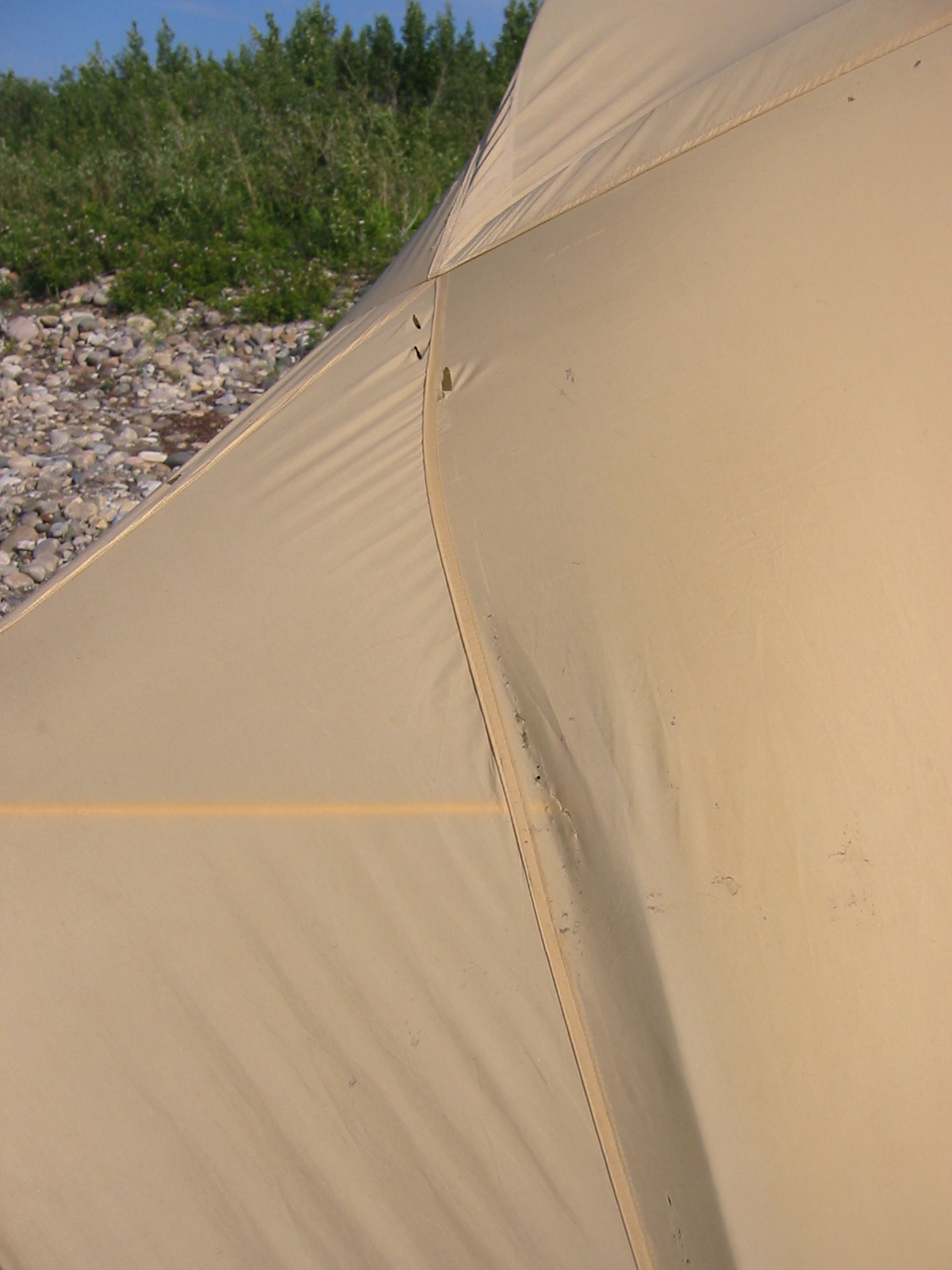
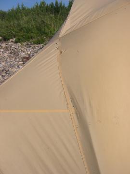
| 1185592855.JPG | 1185592855-pv.JPG | Damage done to the rainfly bouncing down the beach | mrd |
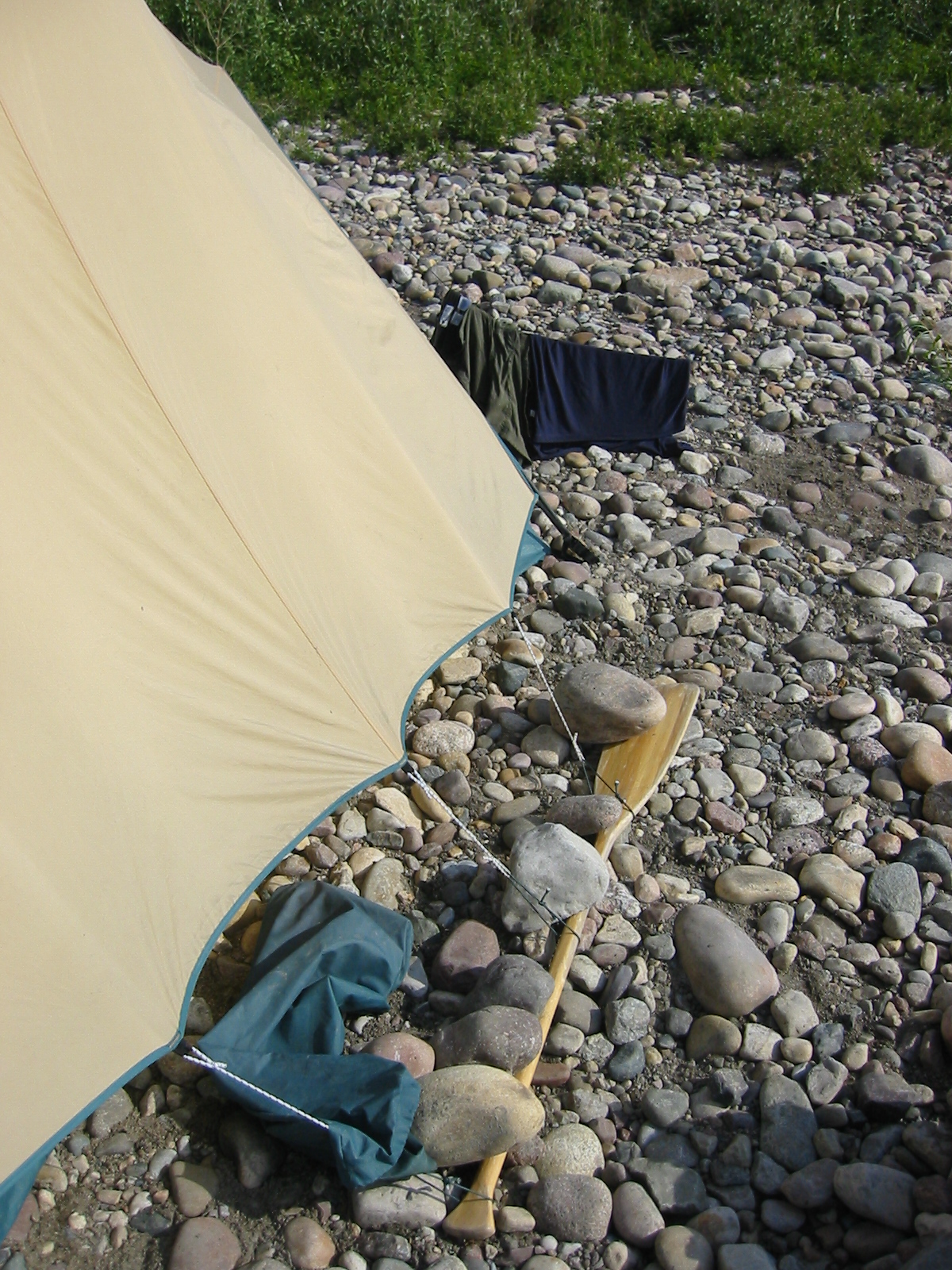
| 1185592897.JPG | 1185592897-pv.JPG | Rainfly held down with paddle and rock on a rocky site | mrd |
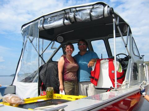
| 1185592971.JPG | 1185592971-pv.JPG | Tanya and Todd McCauley on their new boat | mrd |
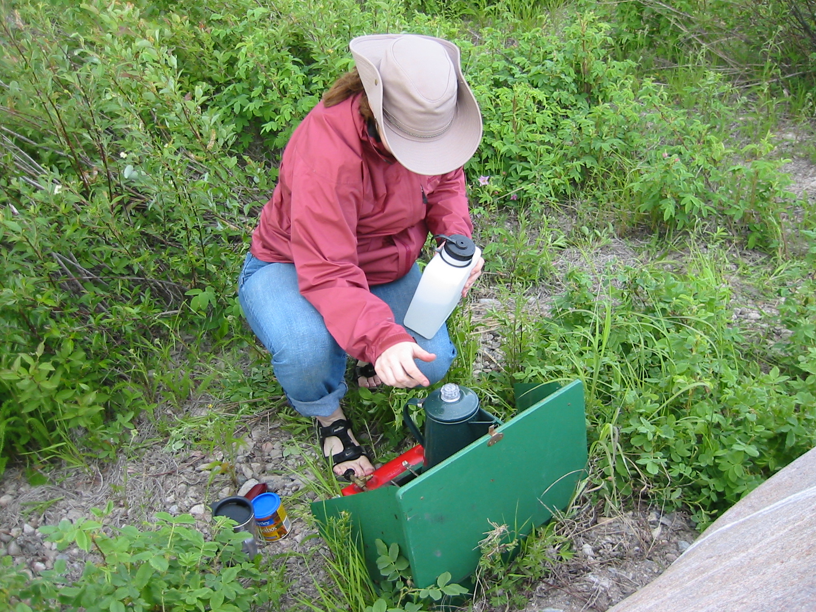
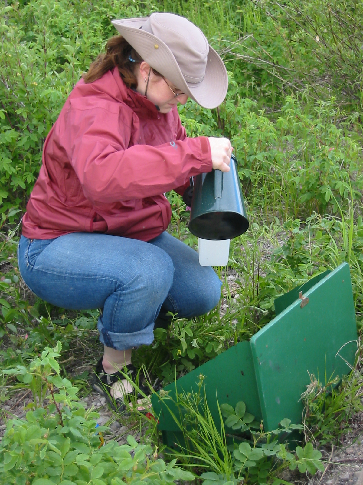
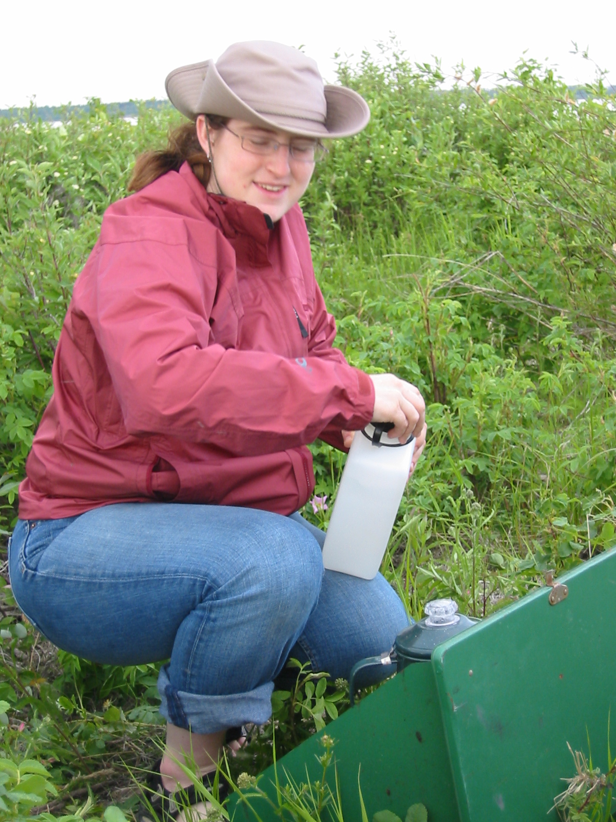
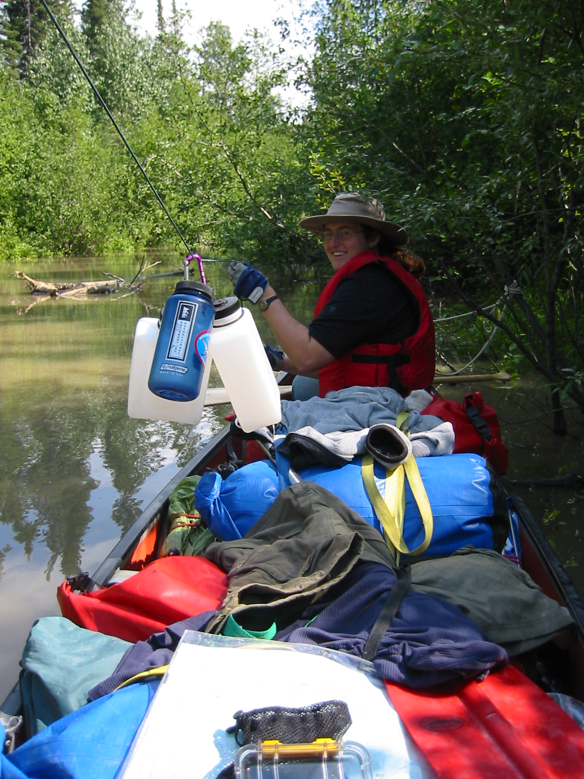
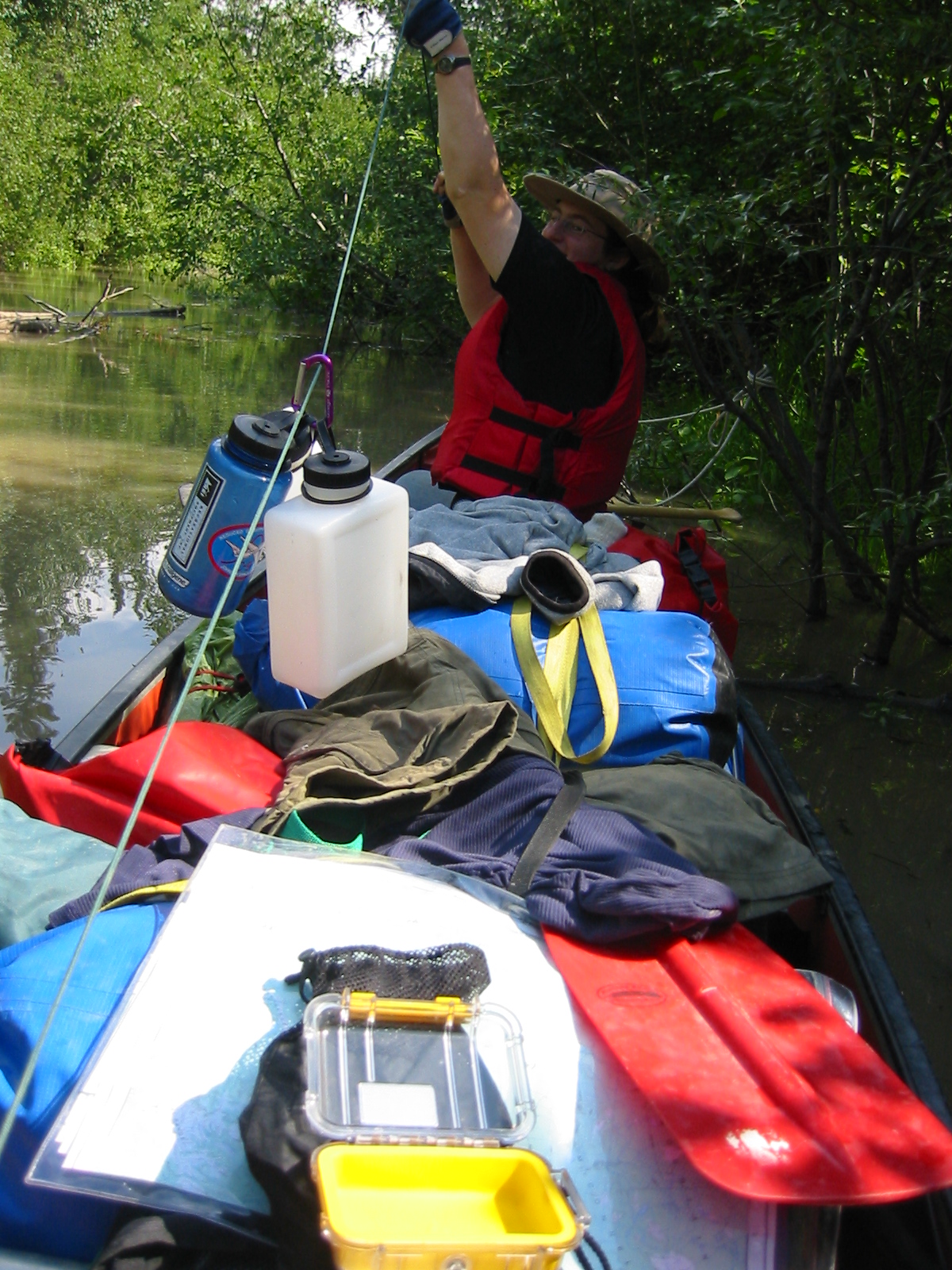
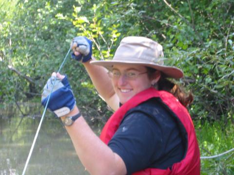
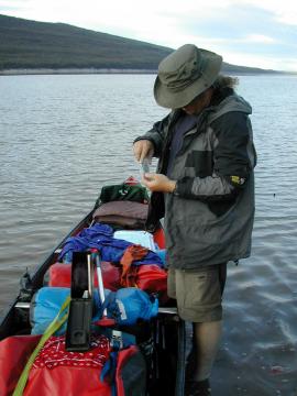
| 1185593046.JPG | 1185593046-pv.JPG | Ari using the canoe zipline during a water filtering stop | mrd |
| 1185593066.JPG | 1185593066-pv.JPG | Ari using the canoe zipline during a water filtering stop | mrd |
| 1185593093.JPG | 1185593093-pv.JPG | Ari using the canoe zipline during a water filtering stop | mrd |
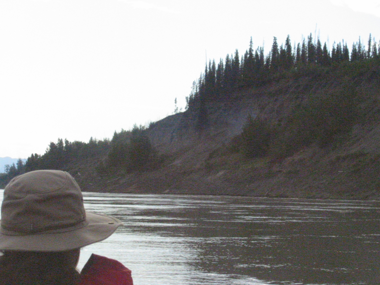
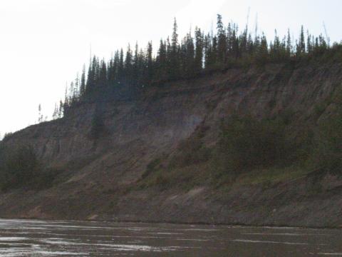
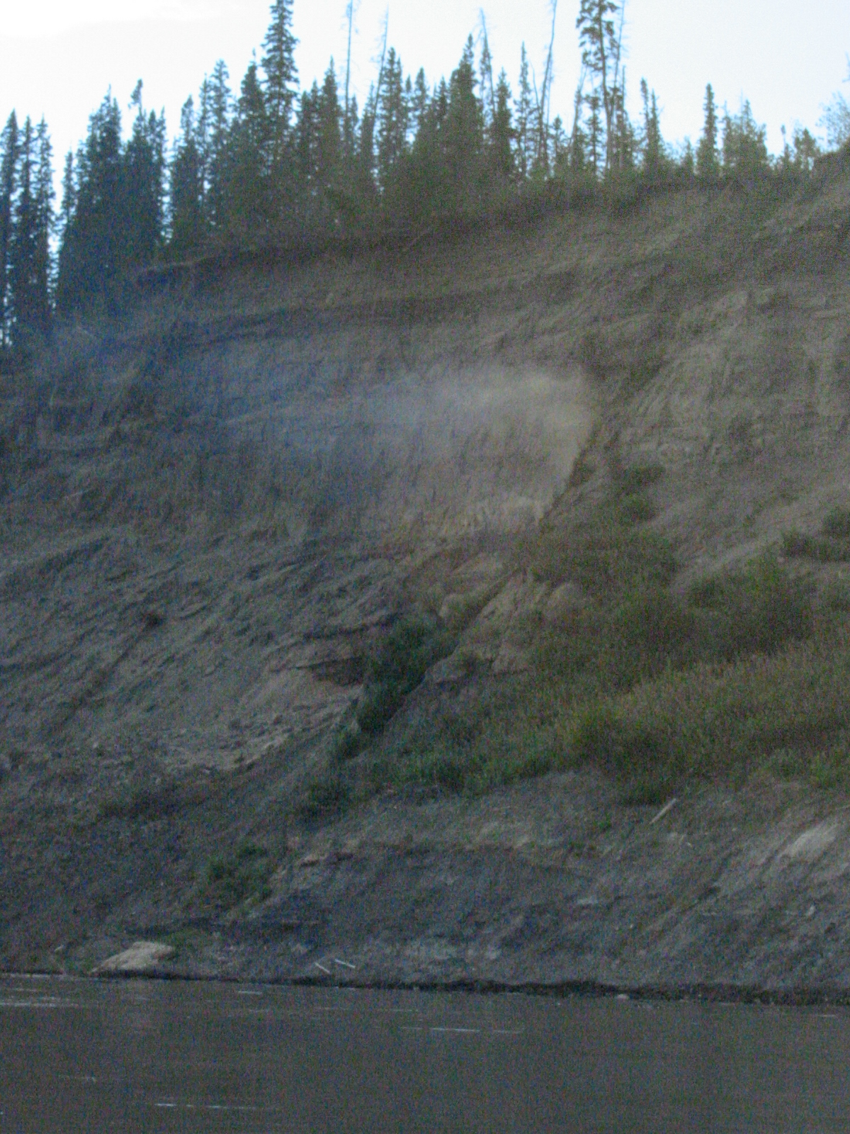
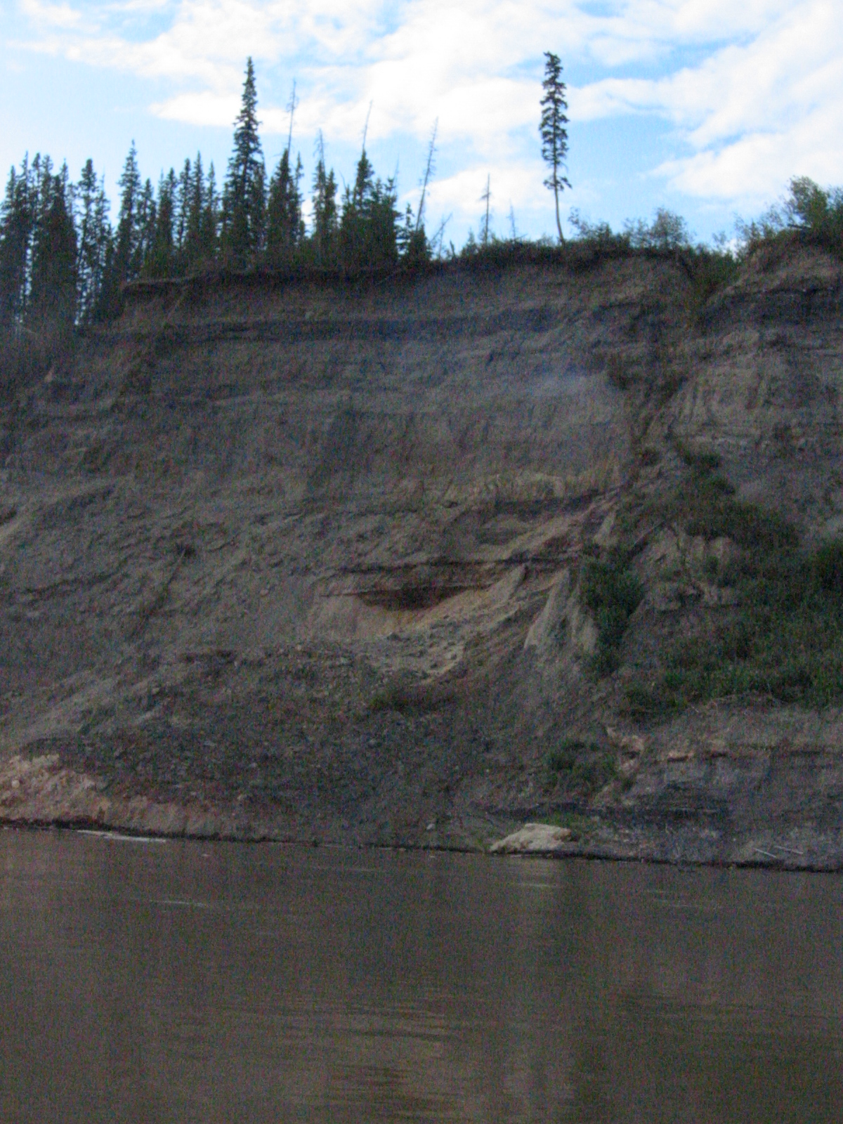
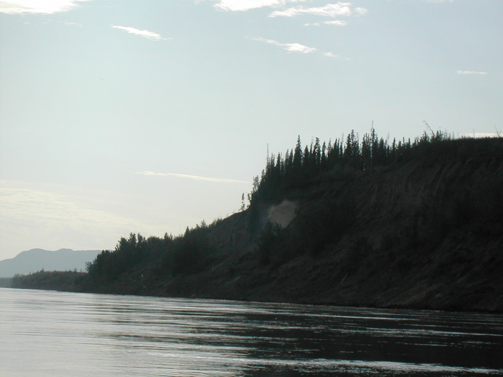
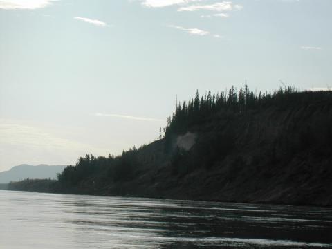
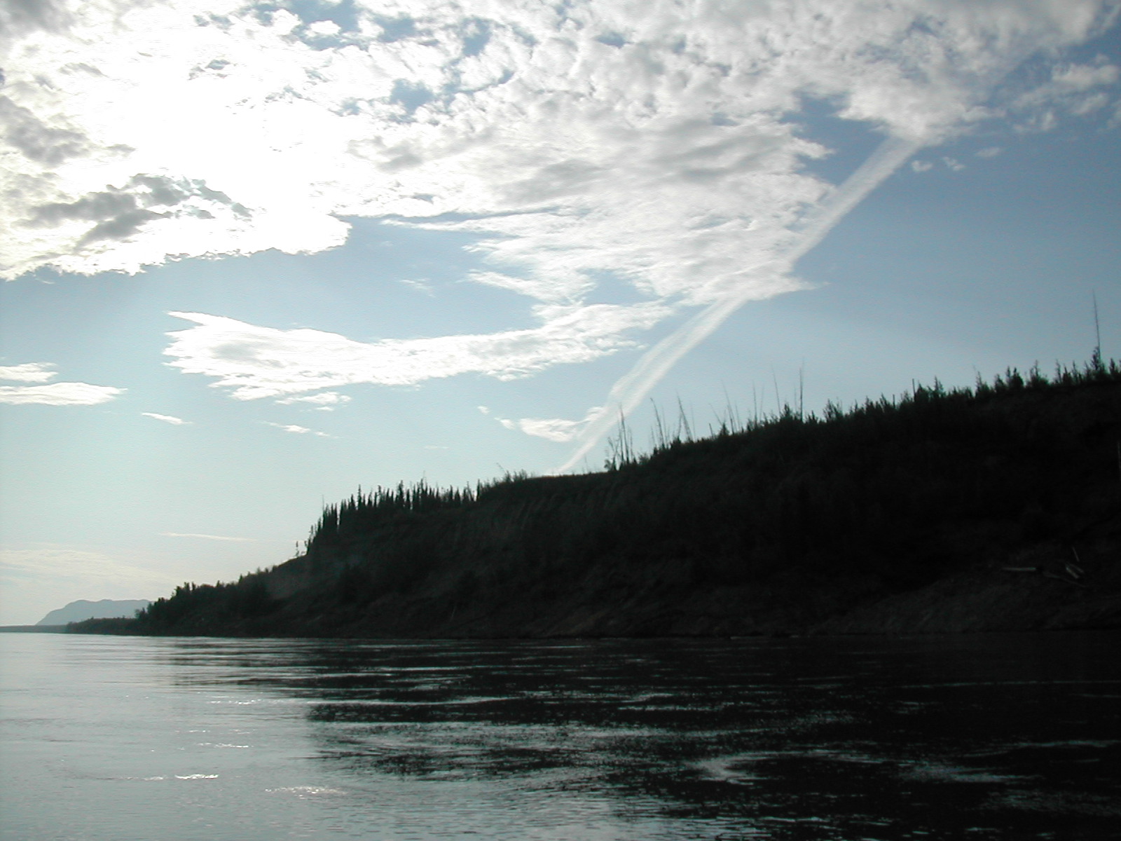
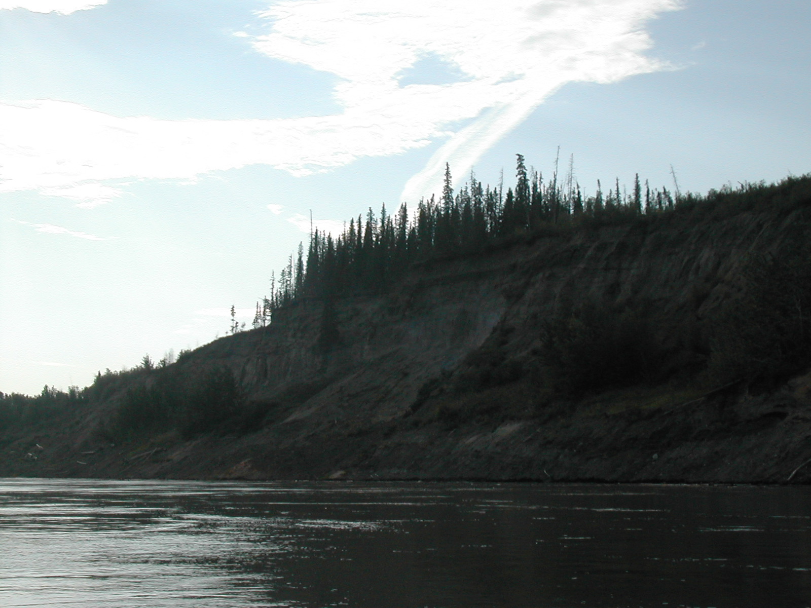
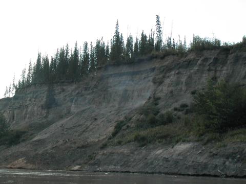
| 1185593198.JPG | 1185593198-pv.JPG | Smoking hillside near Tulita | mrd |
| 1185593221.JPG | 1185593221-pv.JPG | Smoking hillside near Tulita | mrd |
| 1185593241.JPG | 1185593241-pv.JPG | Smoking hillside near Tulita | mrd |
| 1185593264.JPG | 1185593264-pv.JPG | Smoking hillside near Tulita | mrd |
| 1185593296.JPG | 1185593296-pv.JPG | Smoking hillside near Tulita | mrd |
| 1185593328.JPG | 1185593328-pv.JPG | Smoking hillside near Tulita | mrd |
| 1185593351.JPG | 1185593351-pv.JPG | Smoking hillside near Tulita | mrd |
| 1185593387.JPG | 1185593387-pv.JPG | Smoking hillside near Tulita | mrd |
| 1185593409.JPG | 1185593409-pv.JPG | Smoking hillside near Tulita | mrd |
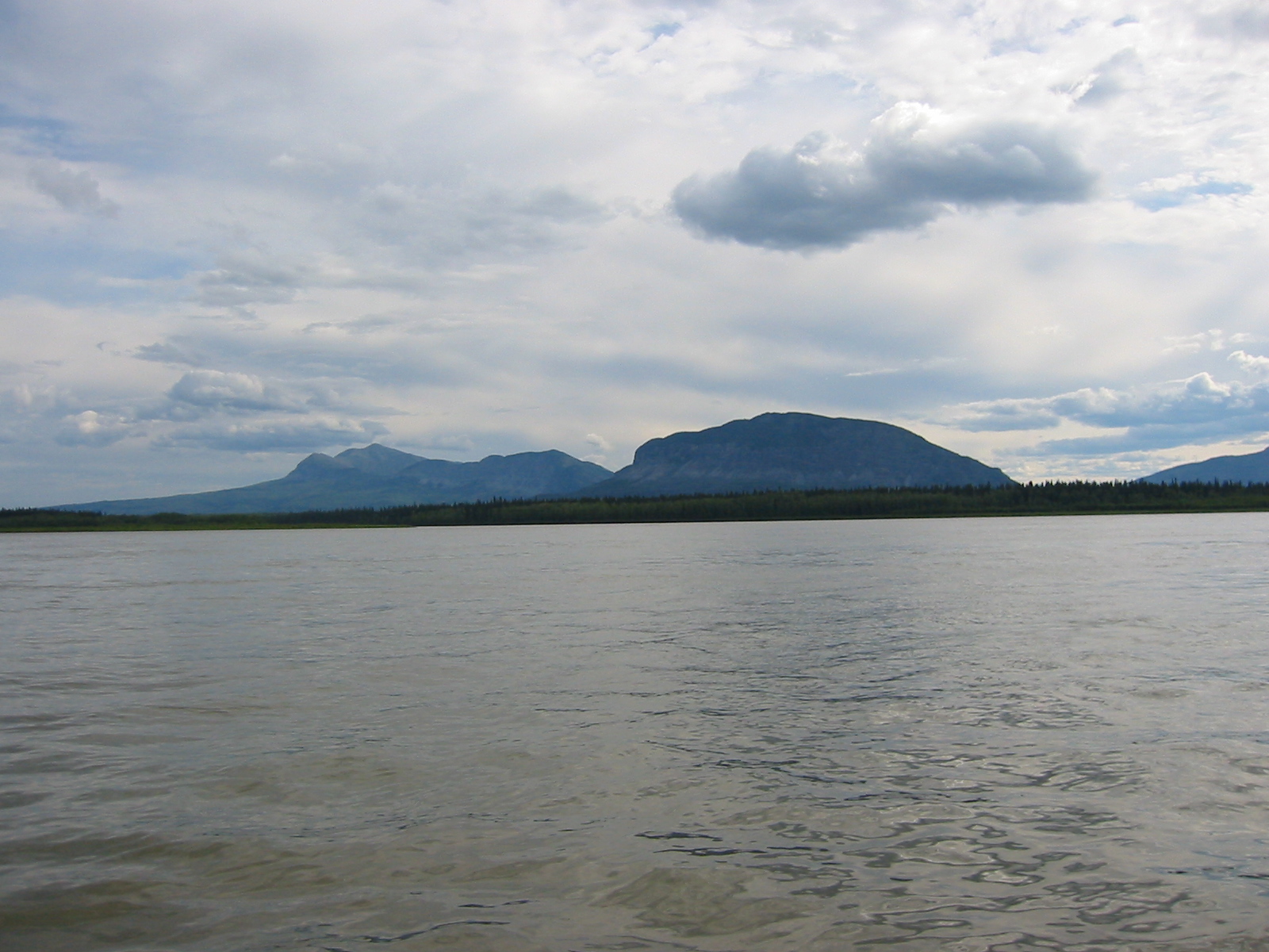
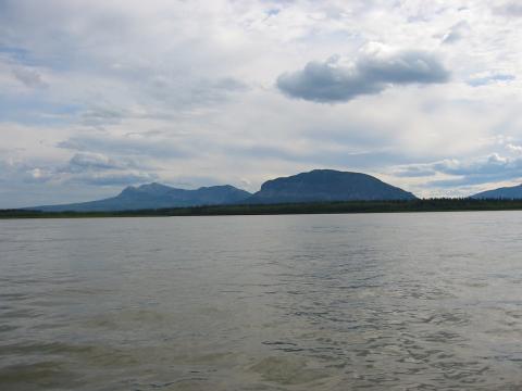
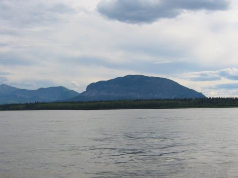
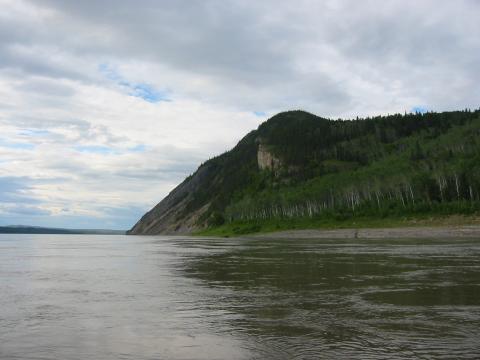
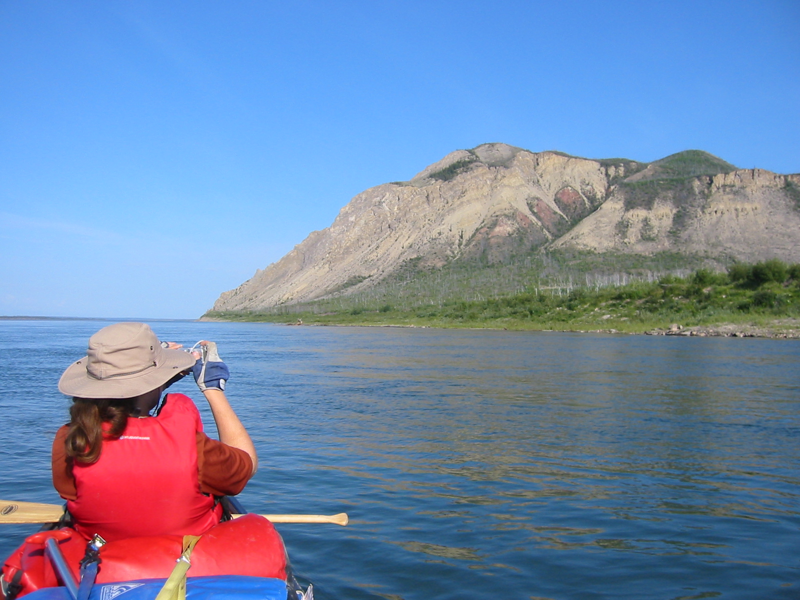
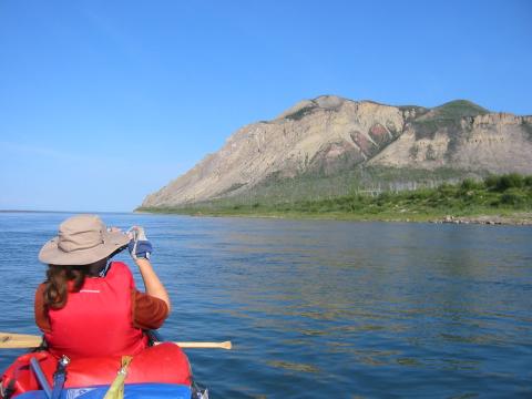
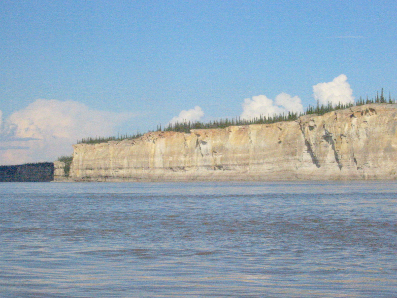
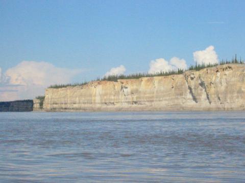
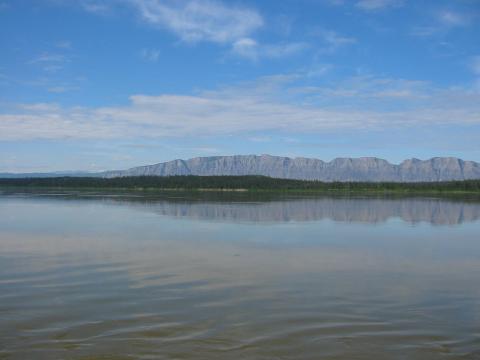
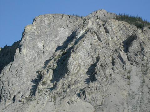
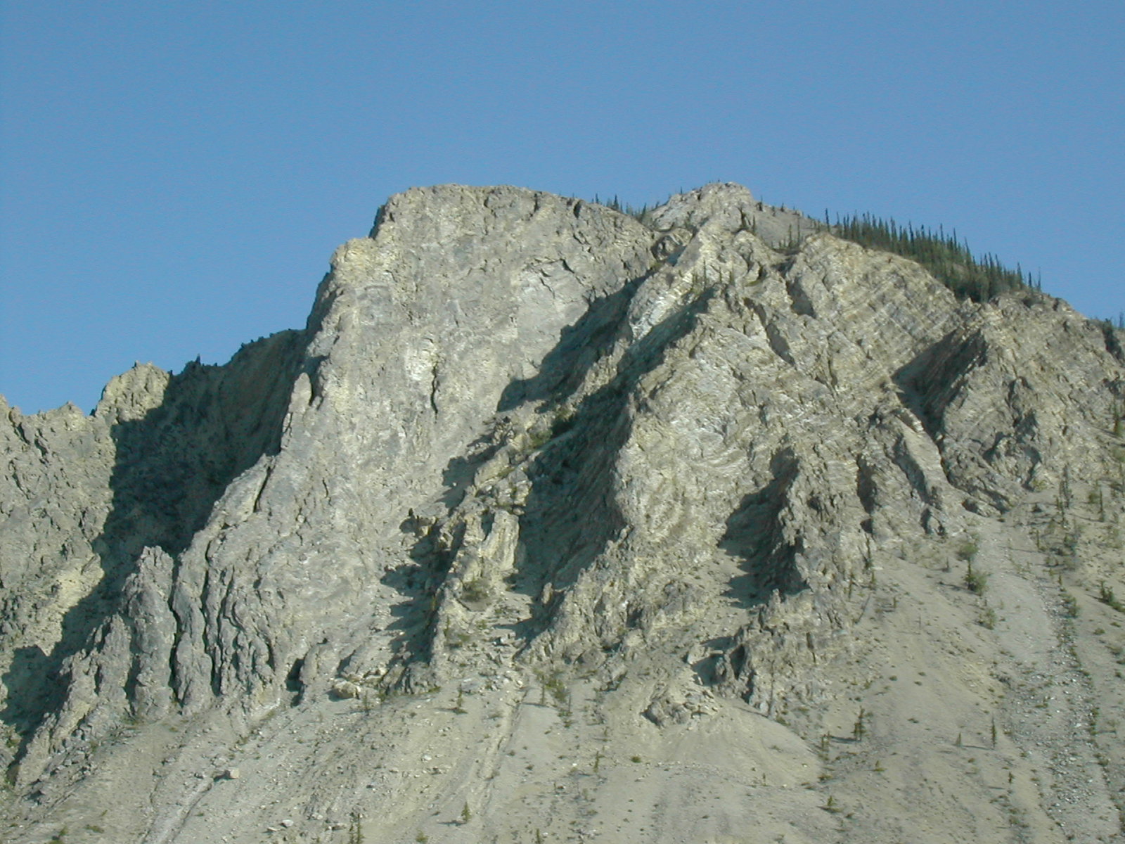
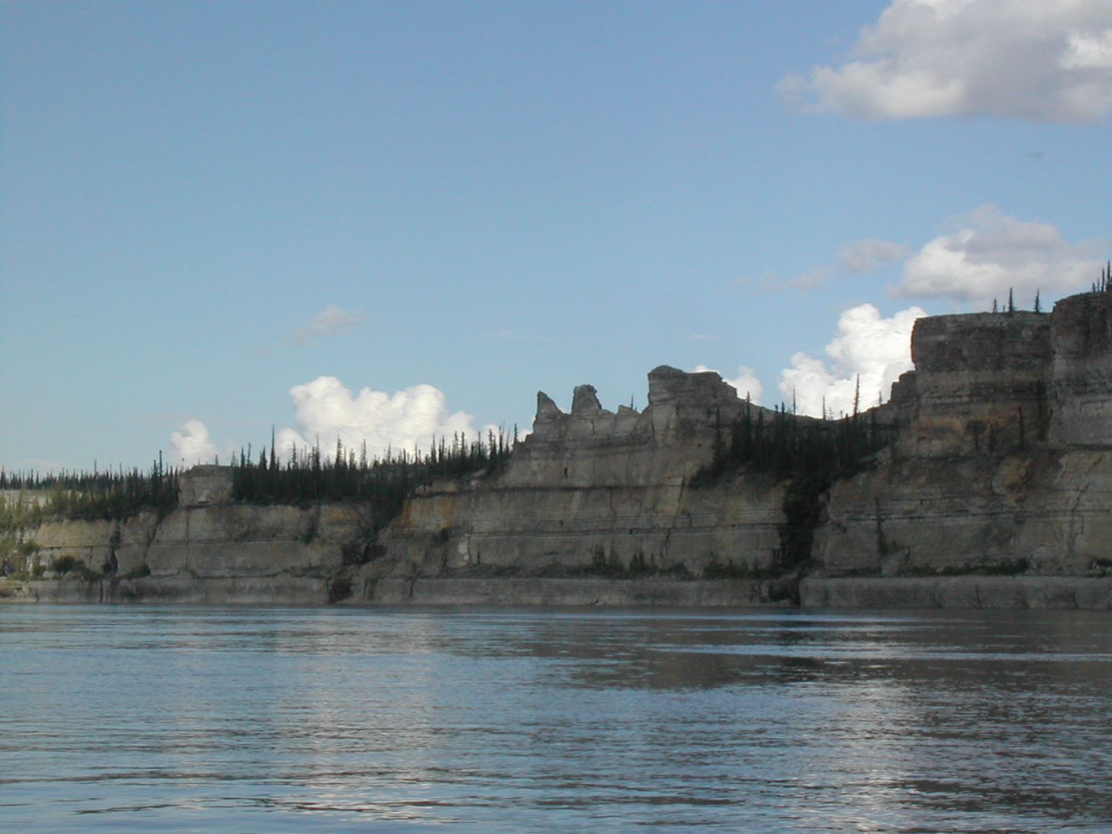
| 1185593452.JPG | 1185593452-pv.JPG | Bear Rock of the Norman Range | mrd |
| 1185593487.JPG | 1185593487-pv.JPG | Bear Rock of the Norman Range | mrd |
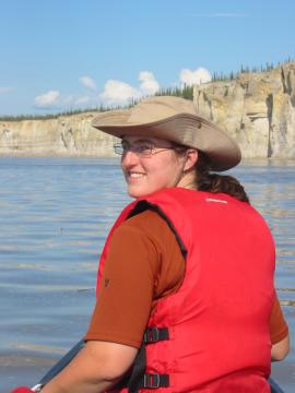
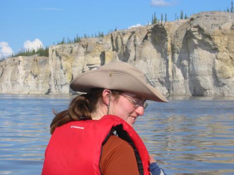
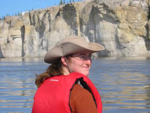
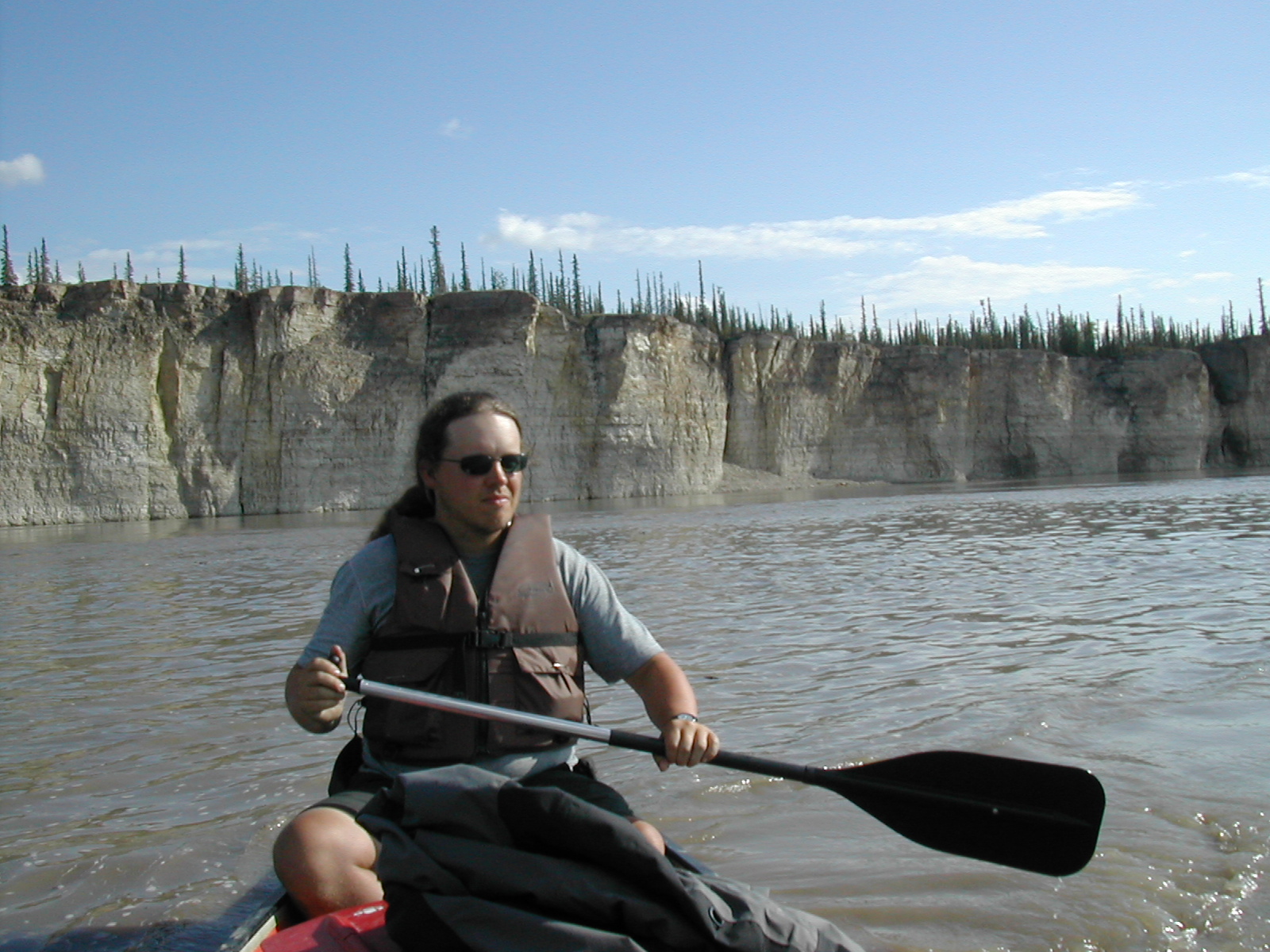
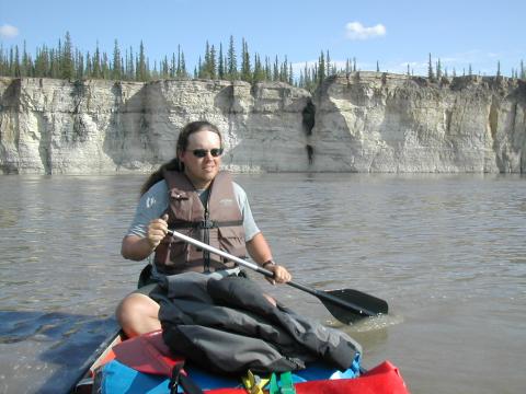
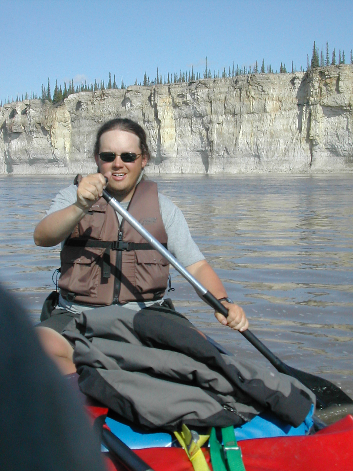
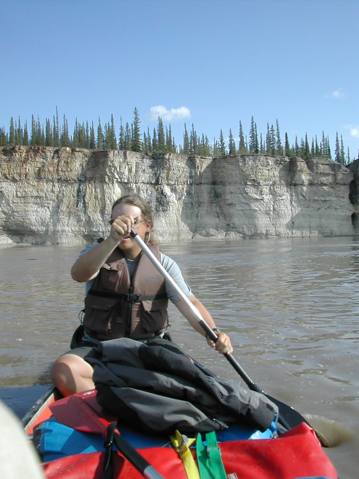
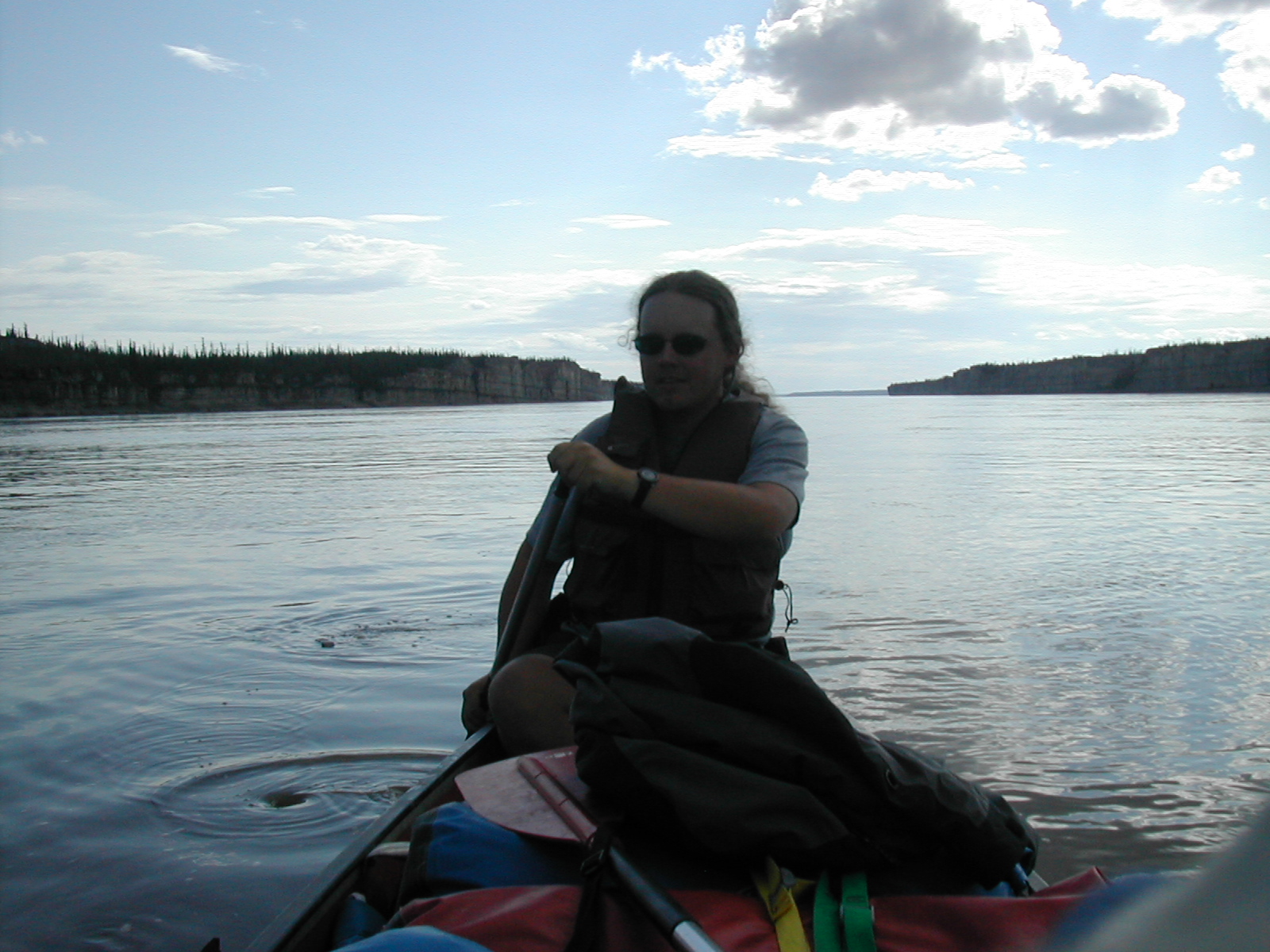
| 1185593534.JPG | 1185593534-pv.JPG | Canoe view of Bear Rock of the Norman Range | mrd |
| 1185593553.JPG | 1185593553-pv.JPG | Canoe view of Bear Rock of the Norman Range | mrd |
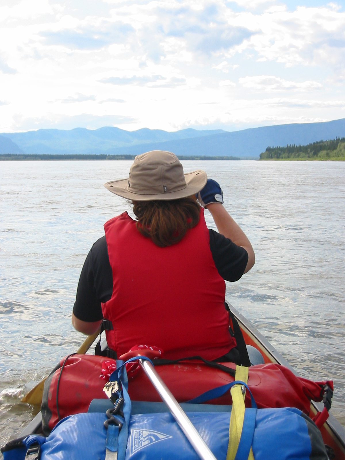
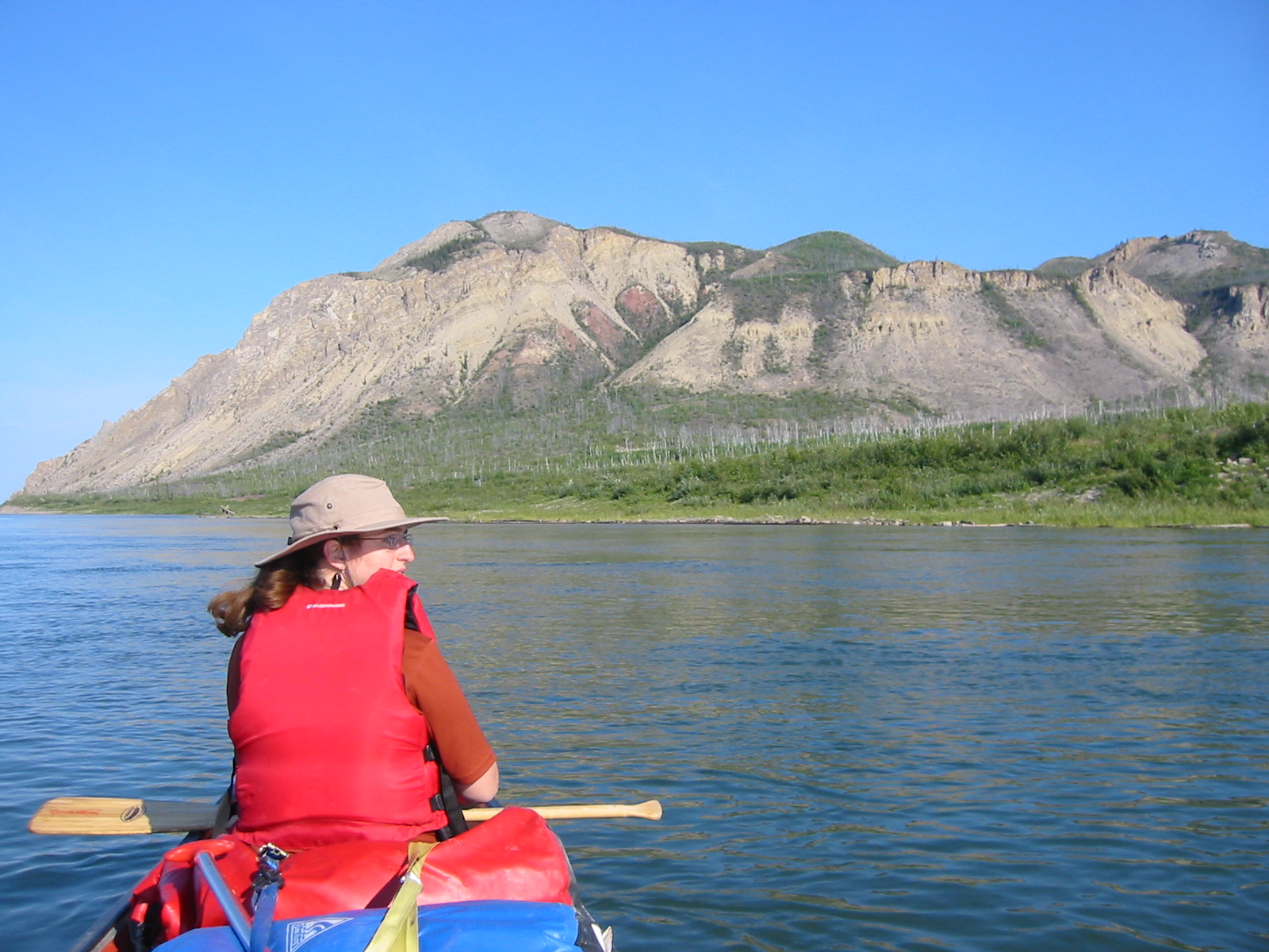
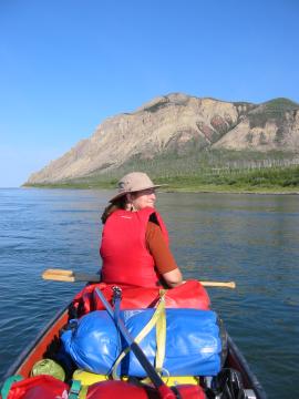
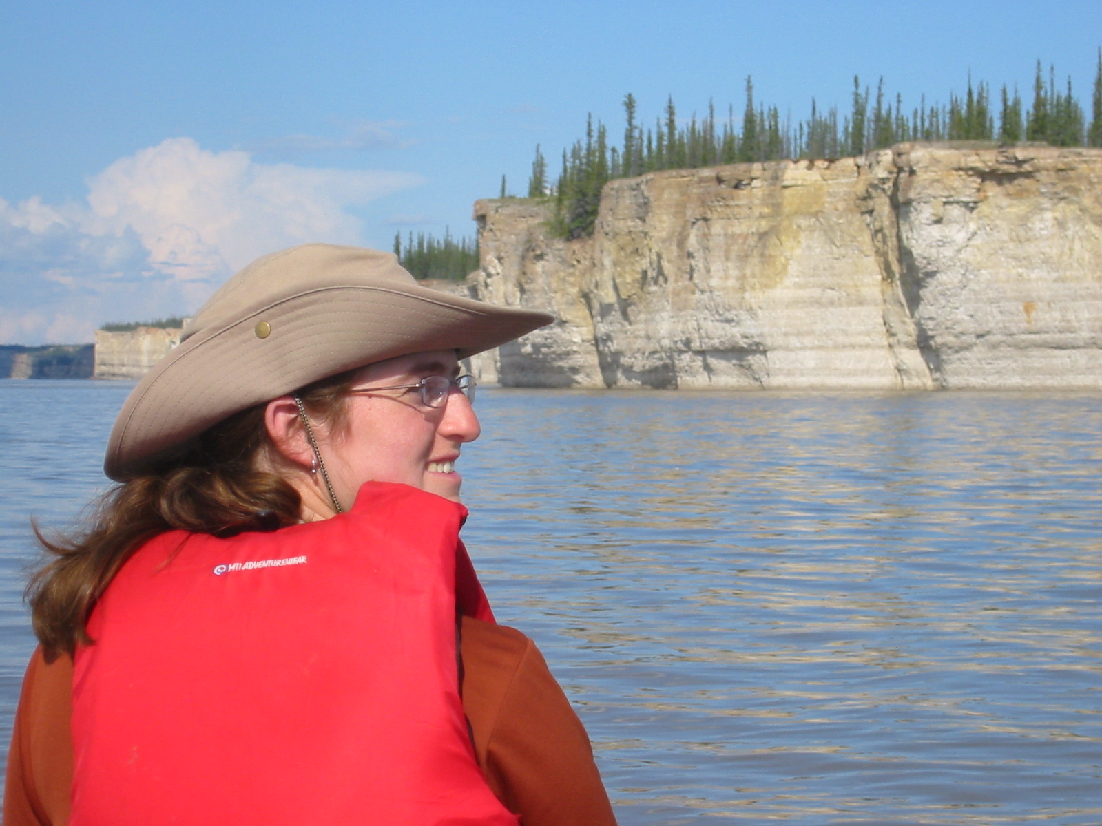
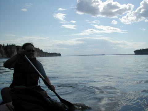
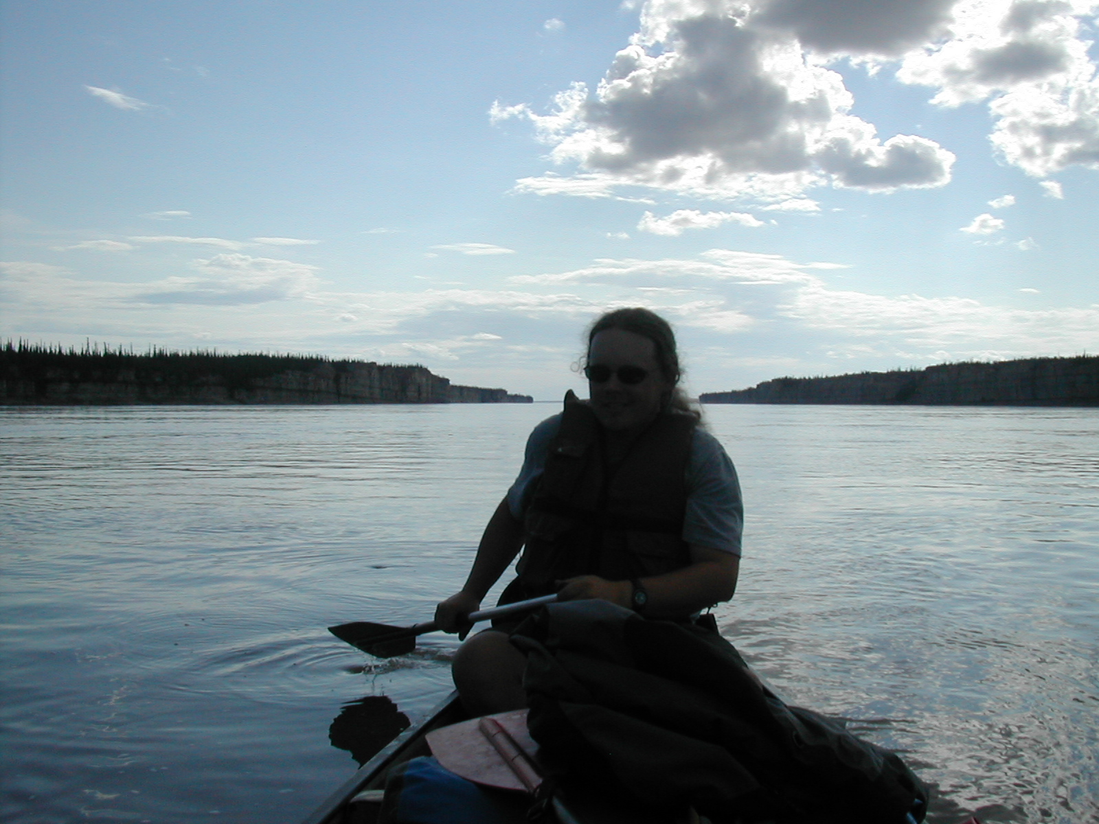
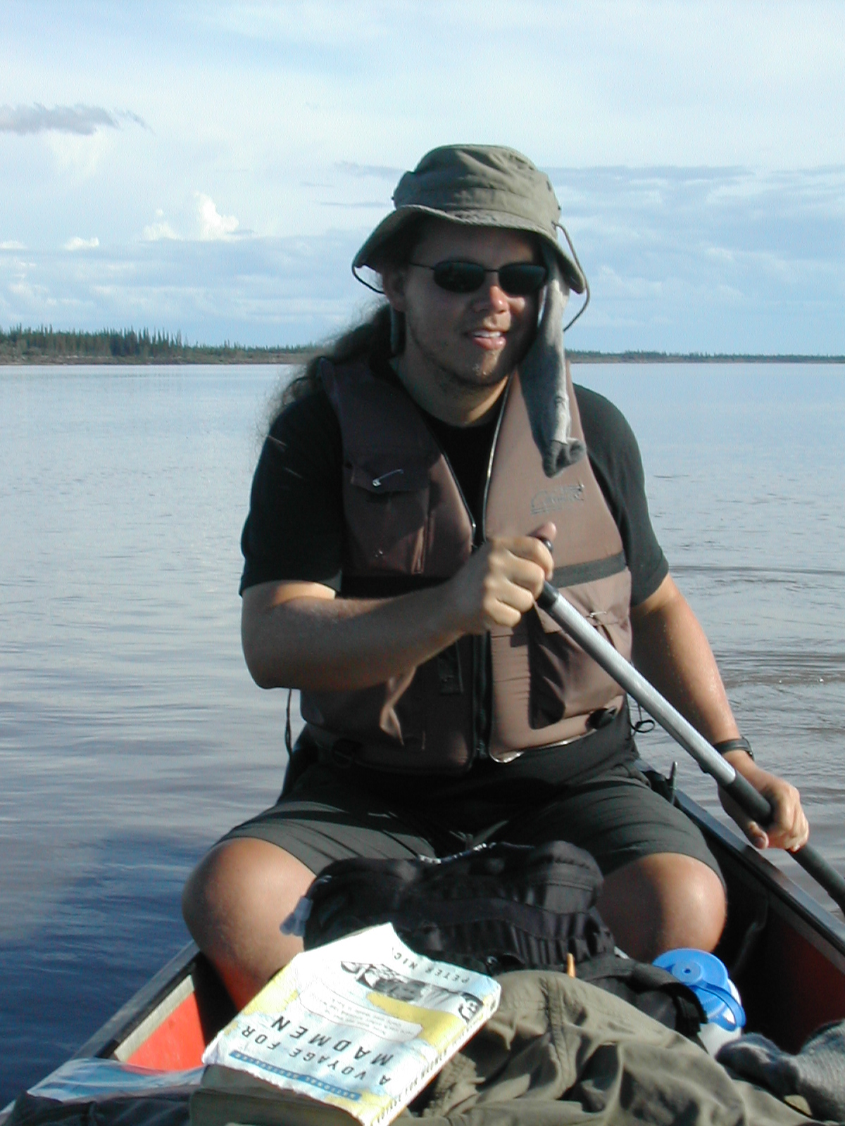
| 1185593595.JPG | 1185593595-pv.JPG | Canoe view of Bear Rock of the Norman Range (good pic of Ari) | mrd |
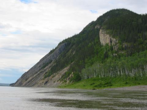
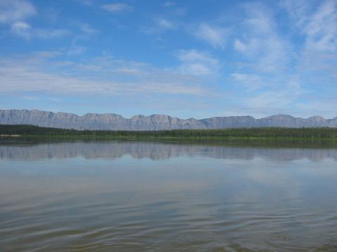
| 1185593643.JPG | 1185593643-pv.JPG | Bear Rock of the Norman Range | mrd |
| 1185593662.JPG | 1185593662-pv.JPG | Bear Rock of the Norman Range | mrd |
| 1185593692.JPG | 1185593692-pv.JPG | Bear Rock of the Norman Range | mrd |
| 1185594824.JPG | 1185594824-pv.JPG | View towards the N65 W126 confluence | mrd |
| 1185594854.JPG | 1185594854-pv.JPG | Crow print at the McCauley's | mrd |
| 1185595019.JPG | 1185595019-pv.JPG | View from McCauley's Mackenzie Mansion | mrd |
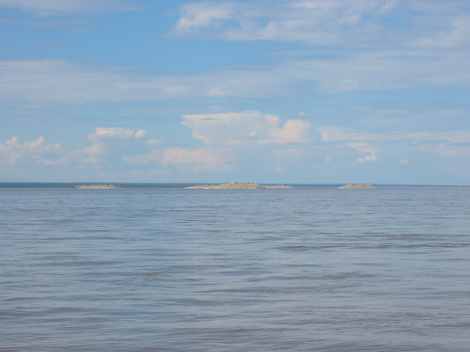
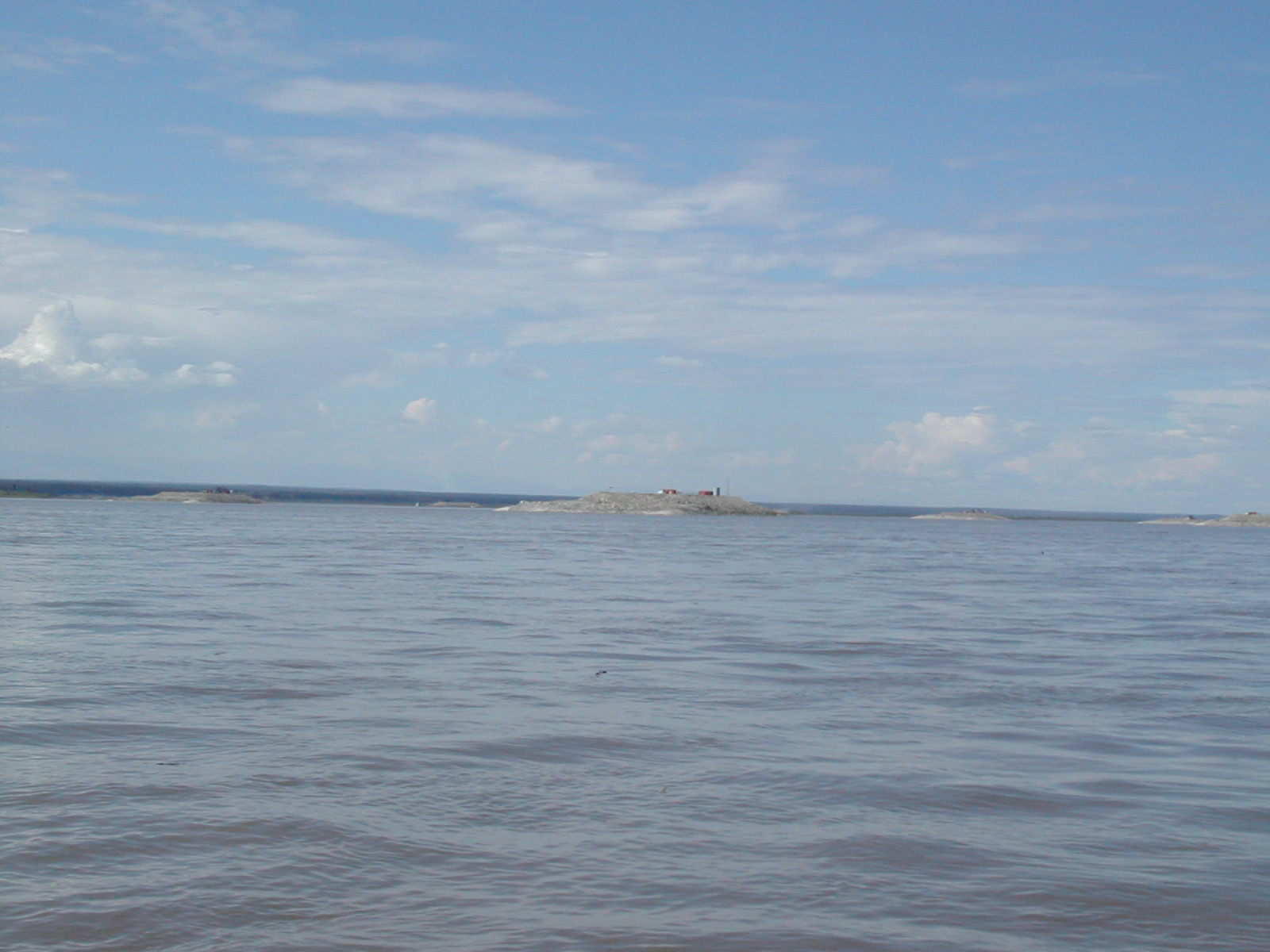
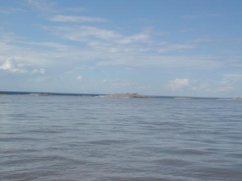
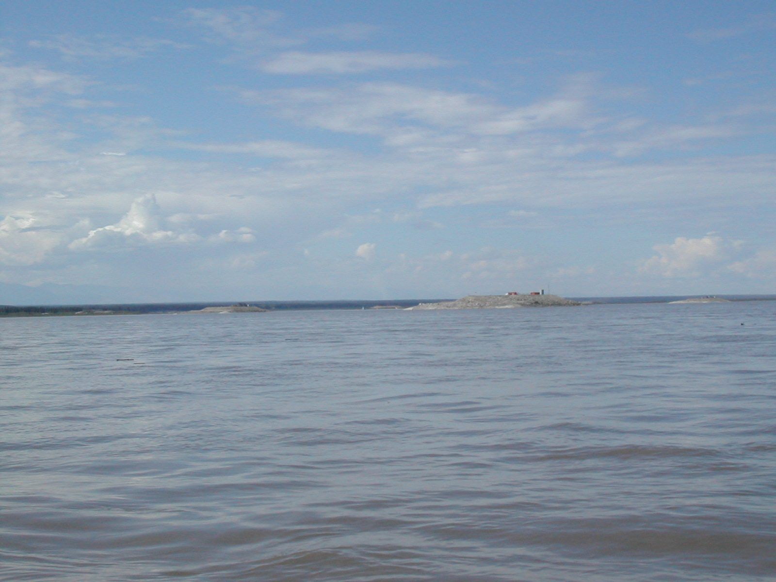
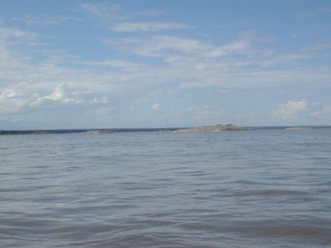
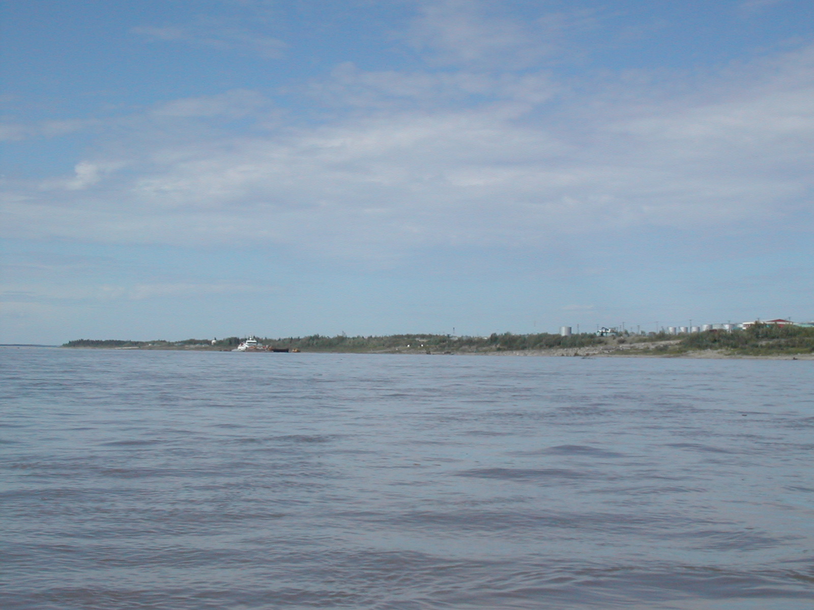
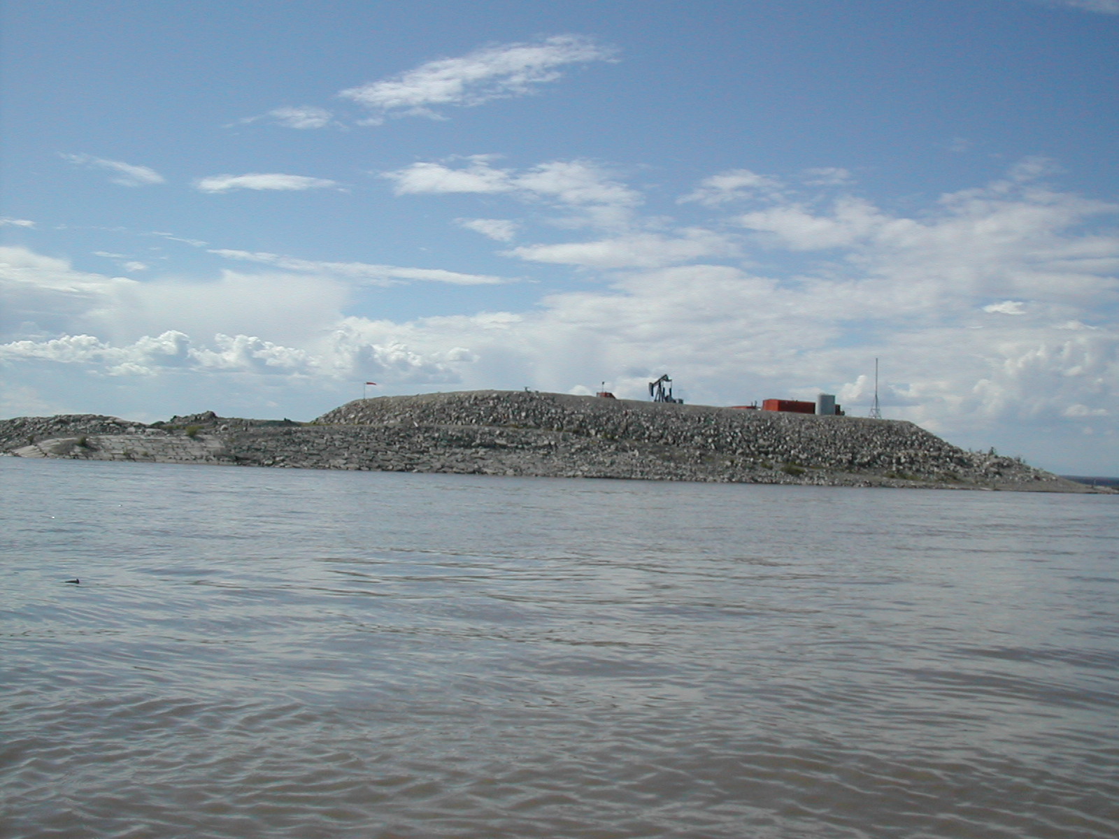
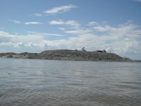
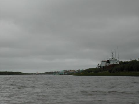
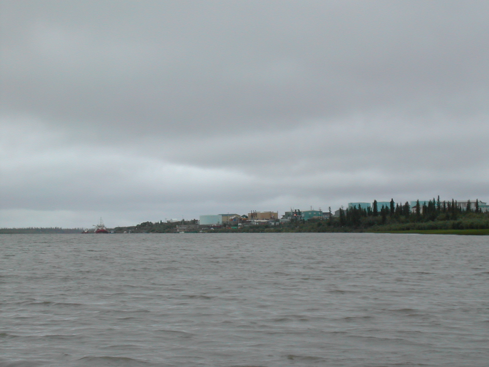
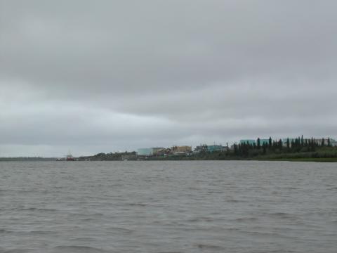
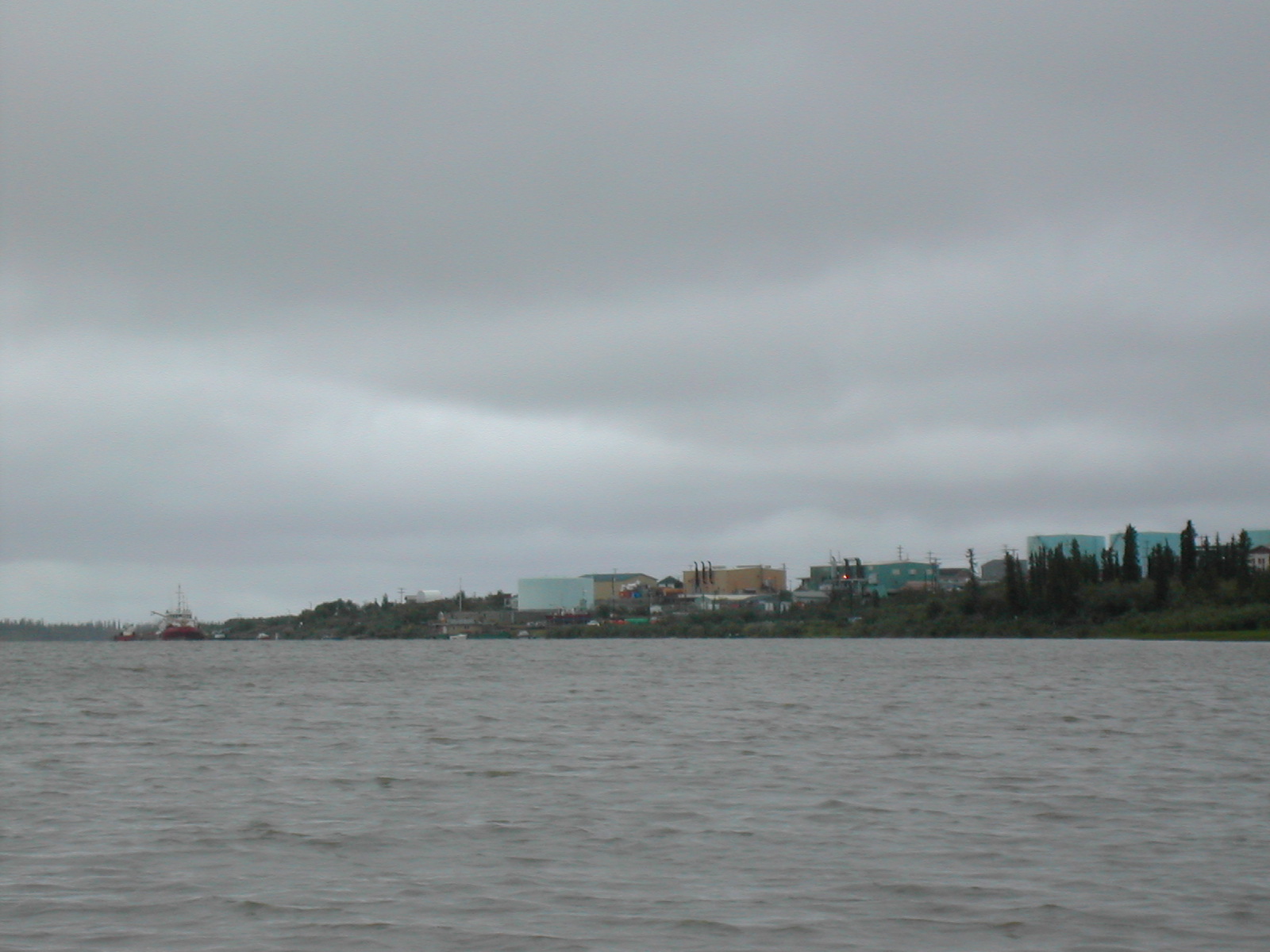
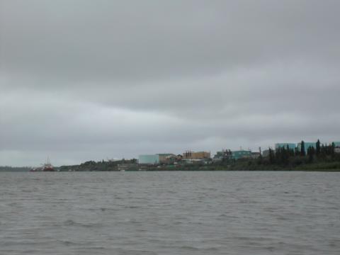
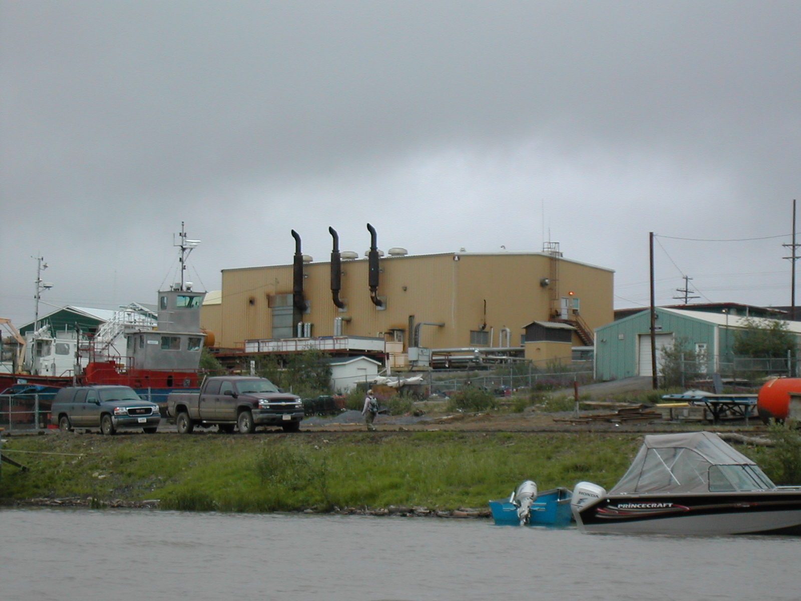
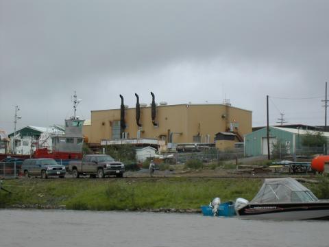
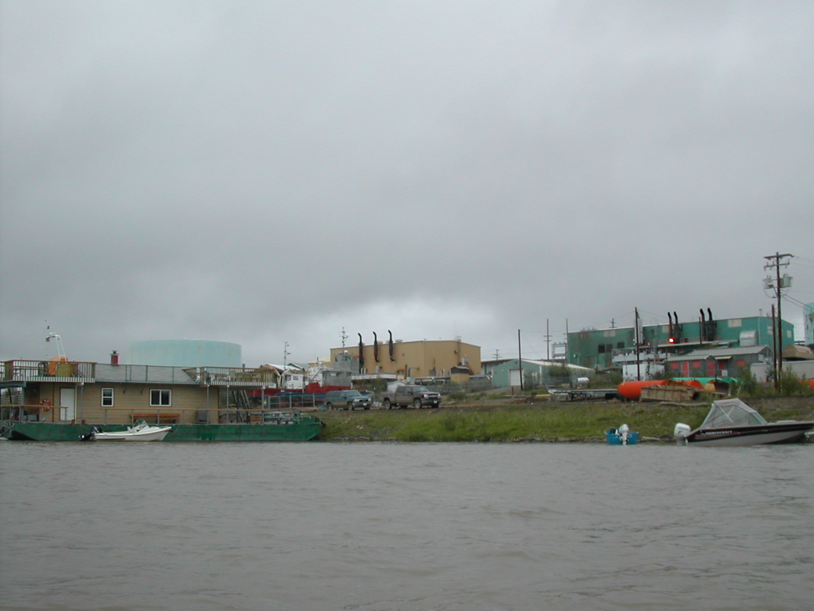
| 1185595101.JPG | 1185595101-pv.JPG | Artificial oil drilling islands at Norman Wells | mrd |
| 1185595122.JPG | 1185595122-pv.JPG | Artificial oil drilling islands at Norman Wells | mrd |
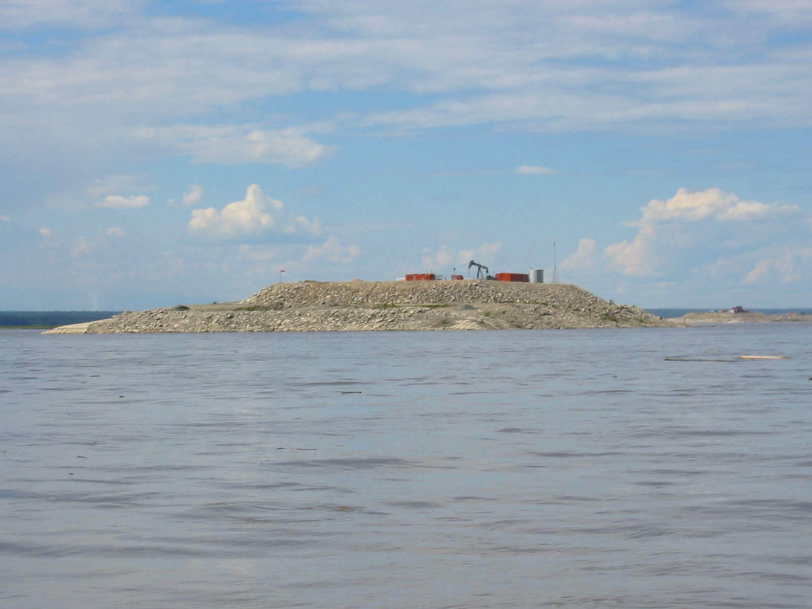
| 1185595325.JPG | 1185595325-pv.JPG | Artificial oil drilling island at Norman Wells | mrd |
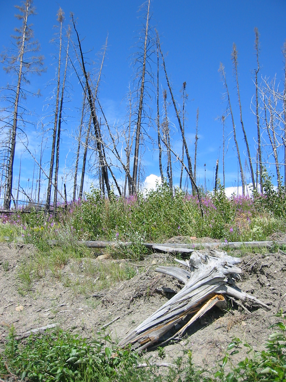
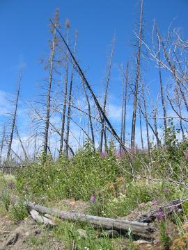
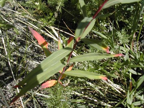
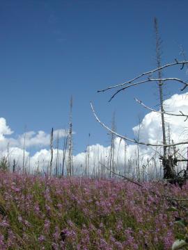
| 1185595399.JPG | 1185595399-pv.JPG | Burned forest above the beach with fireweed | mrd |
| 1185595441.JPG | 1185595441-pv.JPG | Burned forest above the beach with fireweed | mrd |
| 1185595473.JPG | 1185595473-pv.JPG | Burned forest above the beach with fireweed | mrd |
| 1185595503.JPG | 1185595503-pv.JPG | Burned forest above the beach with fireweed | mrd |
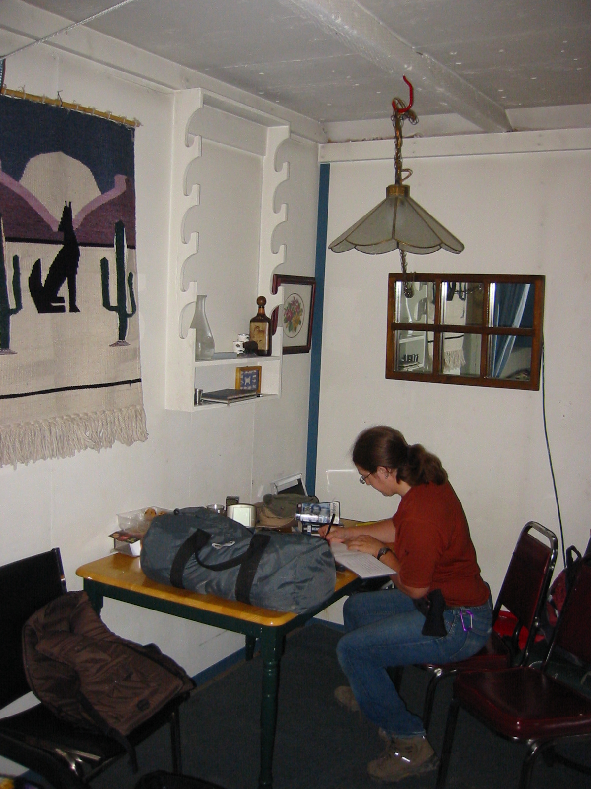
| 1185595995.JPG | 1185595995-pv.JPG | Ari writing in the logbook at the McCauley's cabin | mrd |
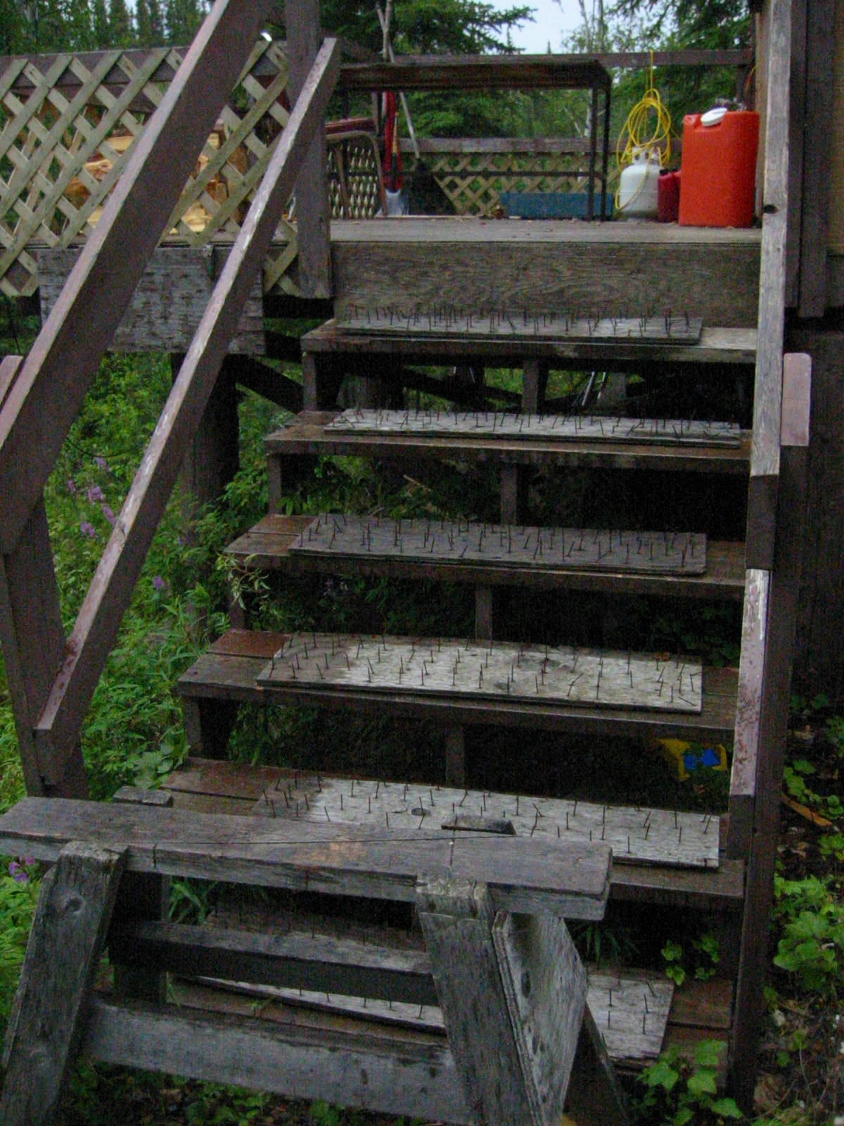
| 1185596138.JPG | 1185596138-pv.JPG | Bear boards at the McCauley's cabin | mrd |
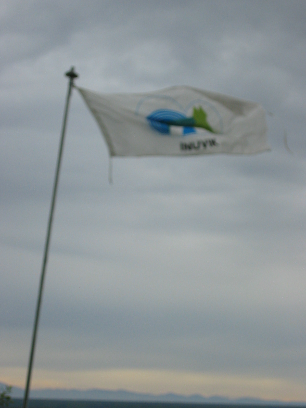
| 1185596152.JPG | 1185596152-pv.JPG | Inuvik flag at the McCauley's cabin | mrd |
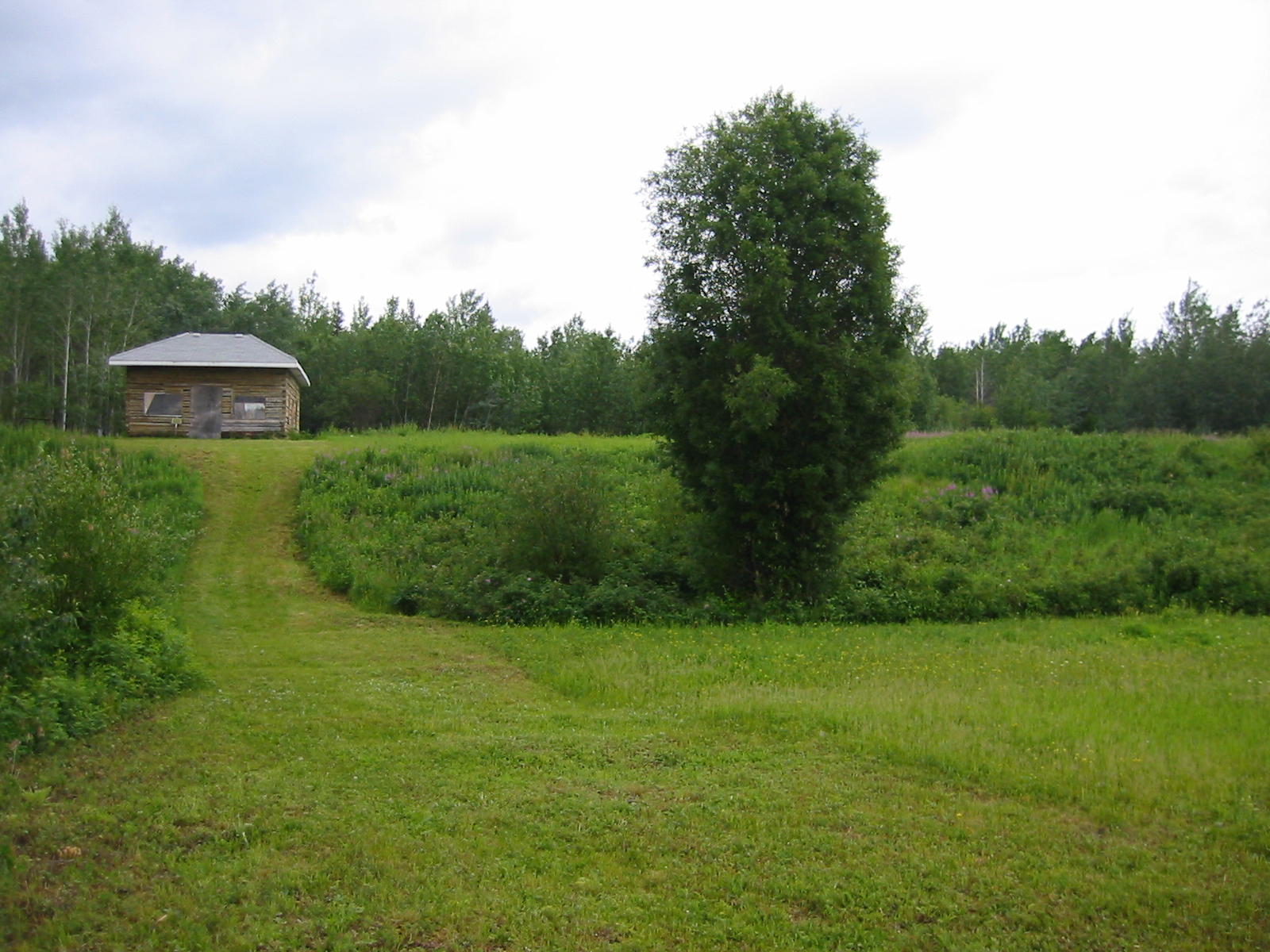
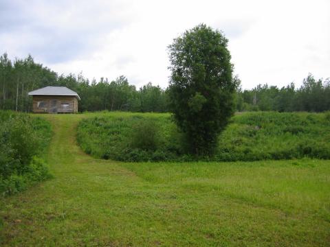
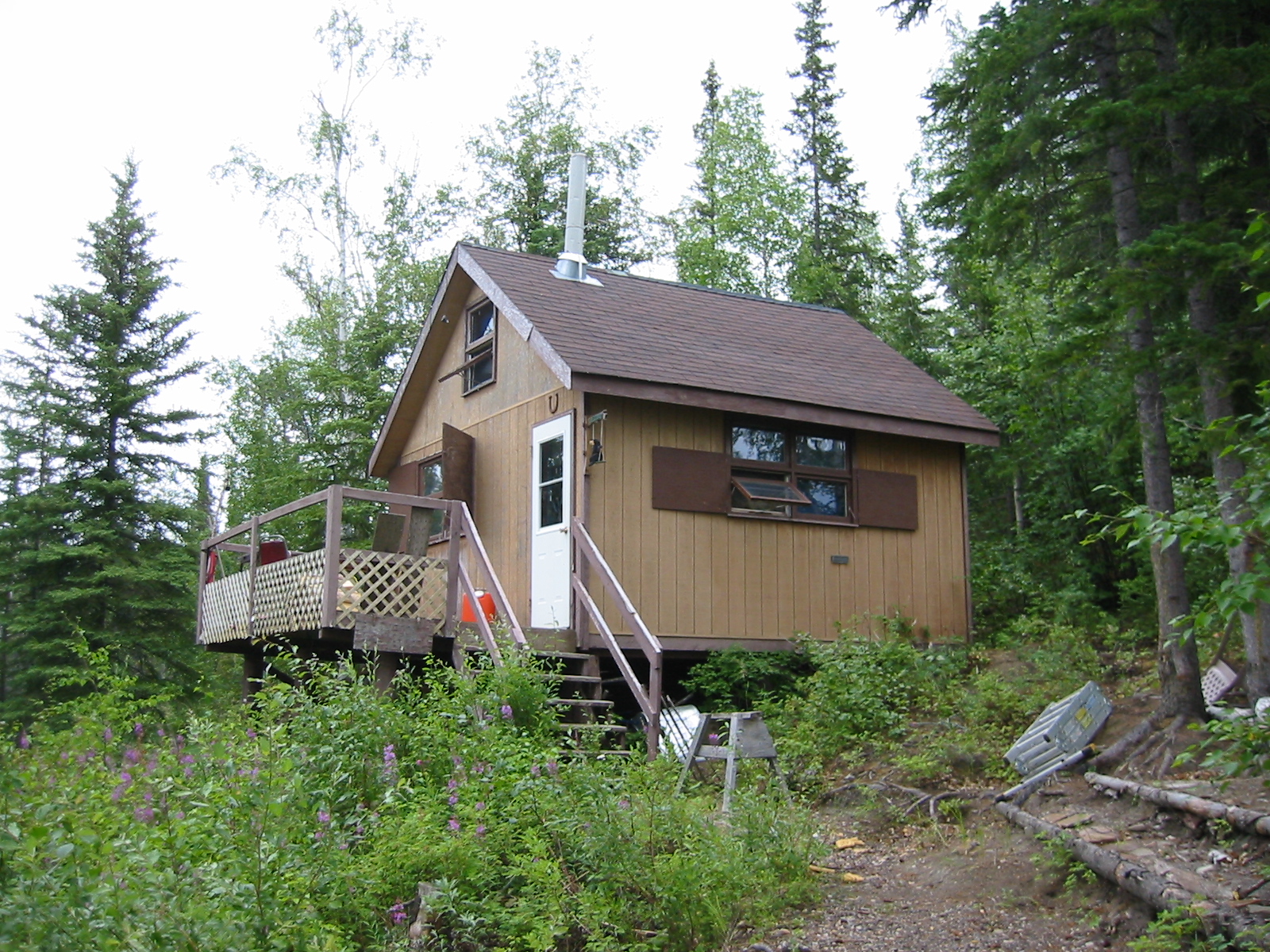
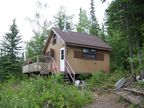
| 1185596243.JPG | 1185596243-pv.JPG | The McCauley's cabin | mrd |
| 1185596277.JPG | 1185596277-pv.JPG | Bear boards in place at the McCauley's cabin | mrd |
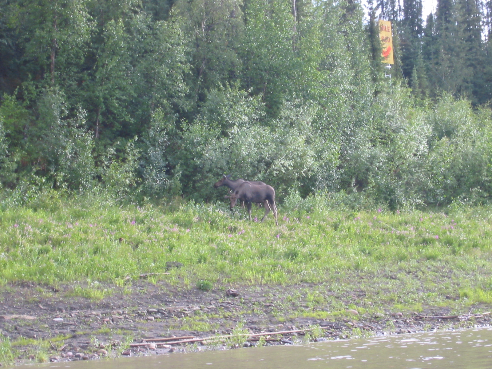
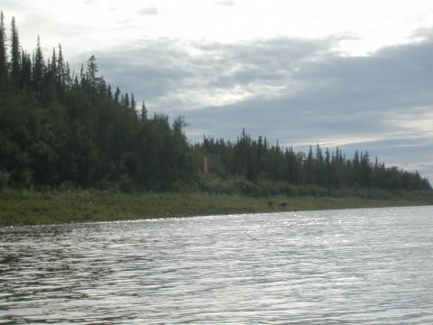
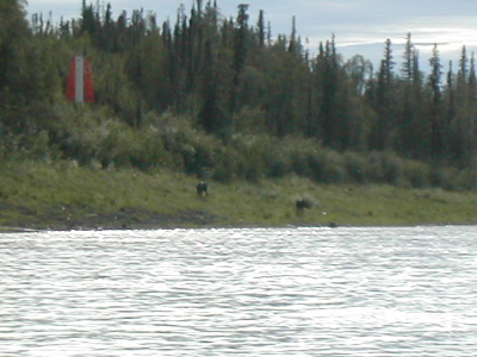
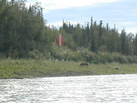
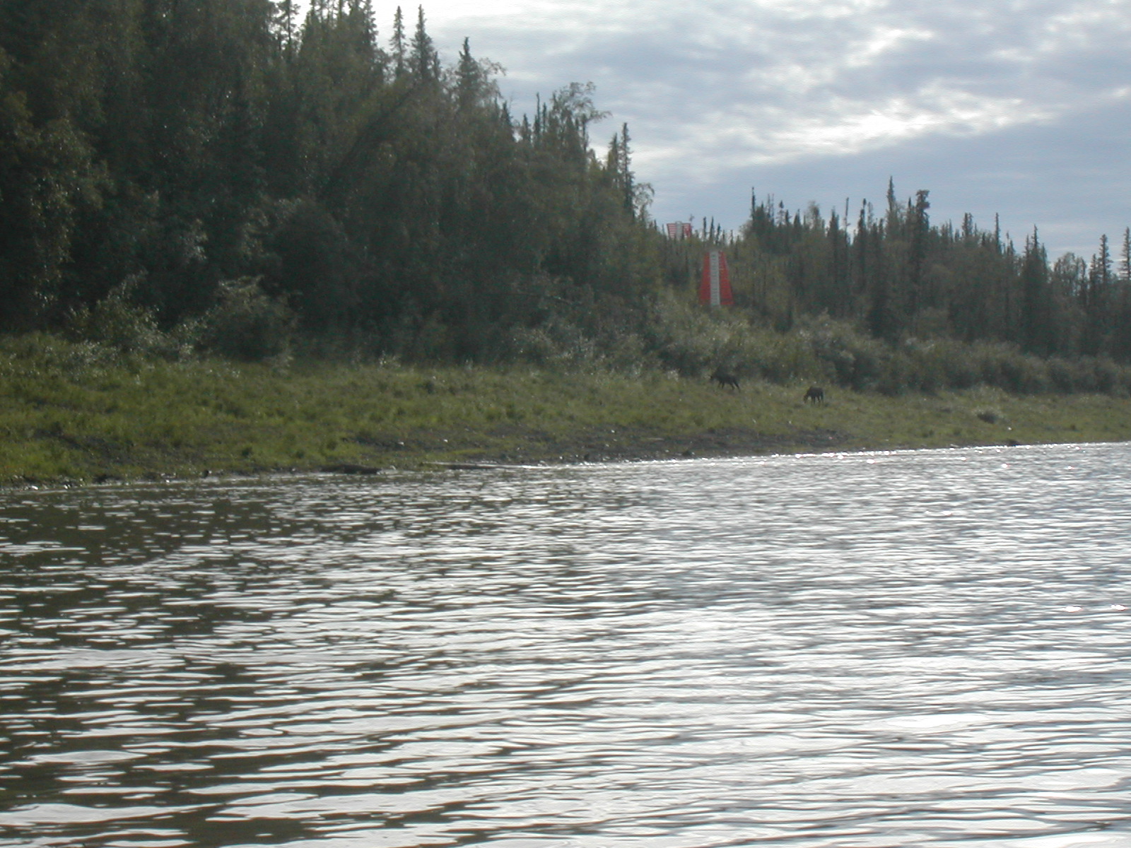
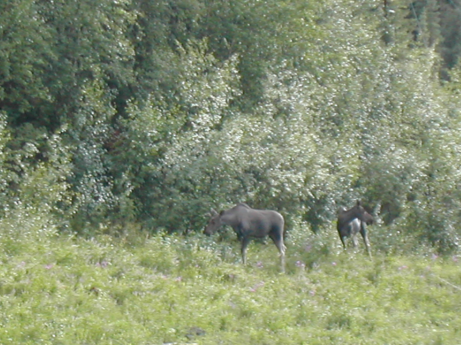
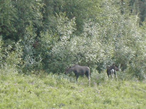
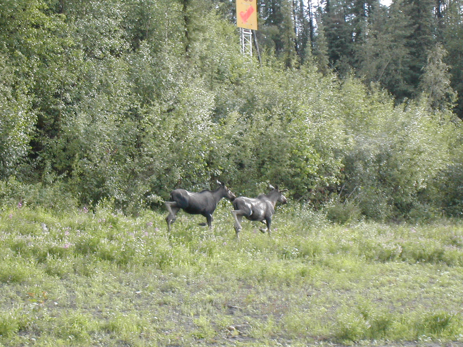
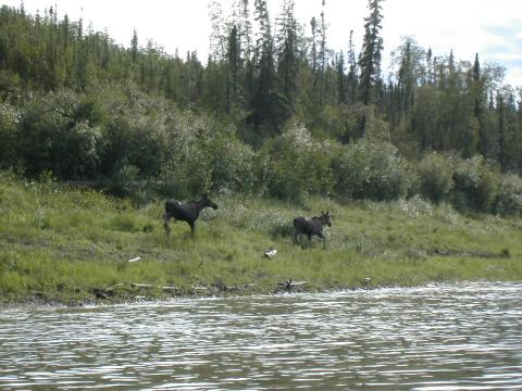
| 1185596341.JPG | 1185596341-pv.JPG | Pair of moose on the shore on day 17 | mrd |
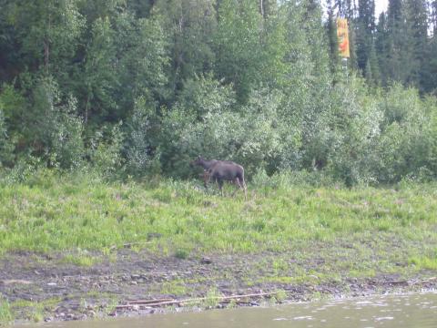
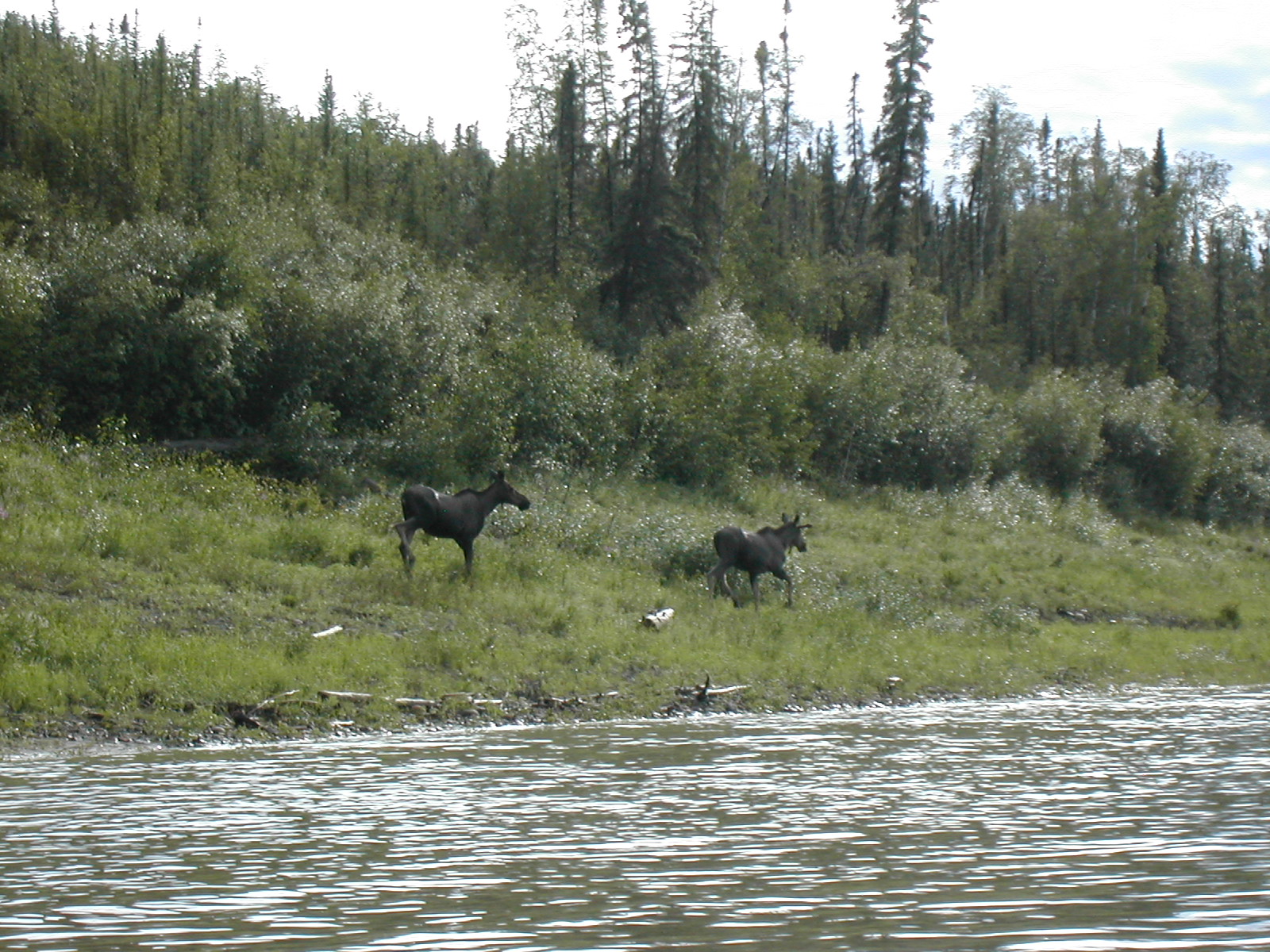
| 1185596405.JPG | 1185596405-pv.JPG | Pair of moose on the shore on day 17 | mrd |
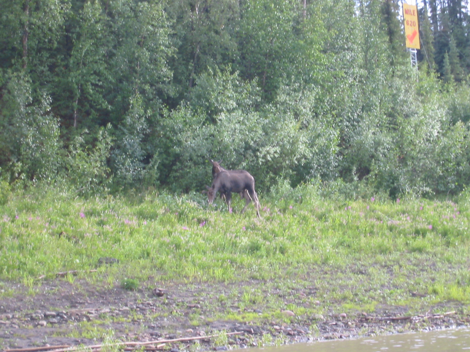
| 1185596421.JPG | 1185596421-pv.JPG | Pair of moose on the shore on day 17 | mrd |
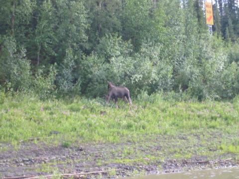
| 1185596440.JPG | 1185596440-pv.JPG | Pair of moose on the shore on day 17 | mrd |
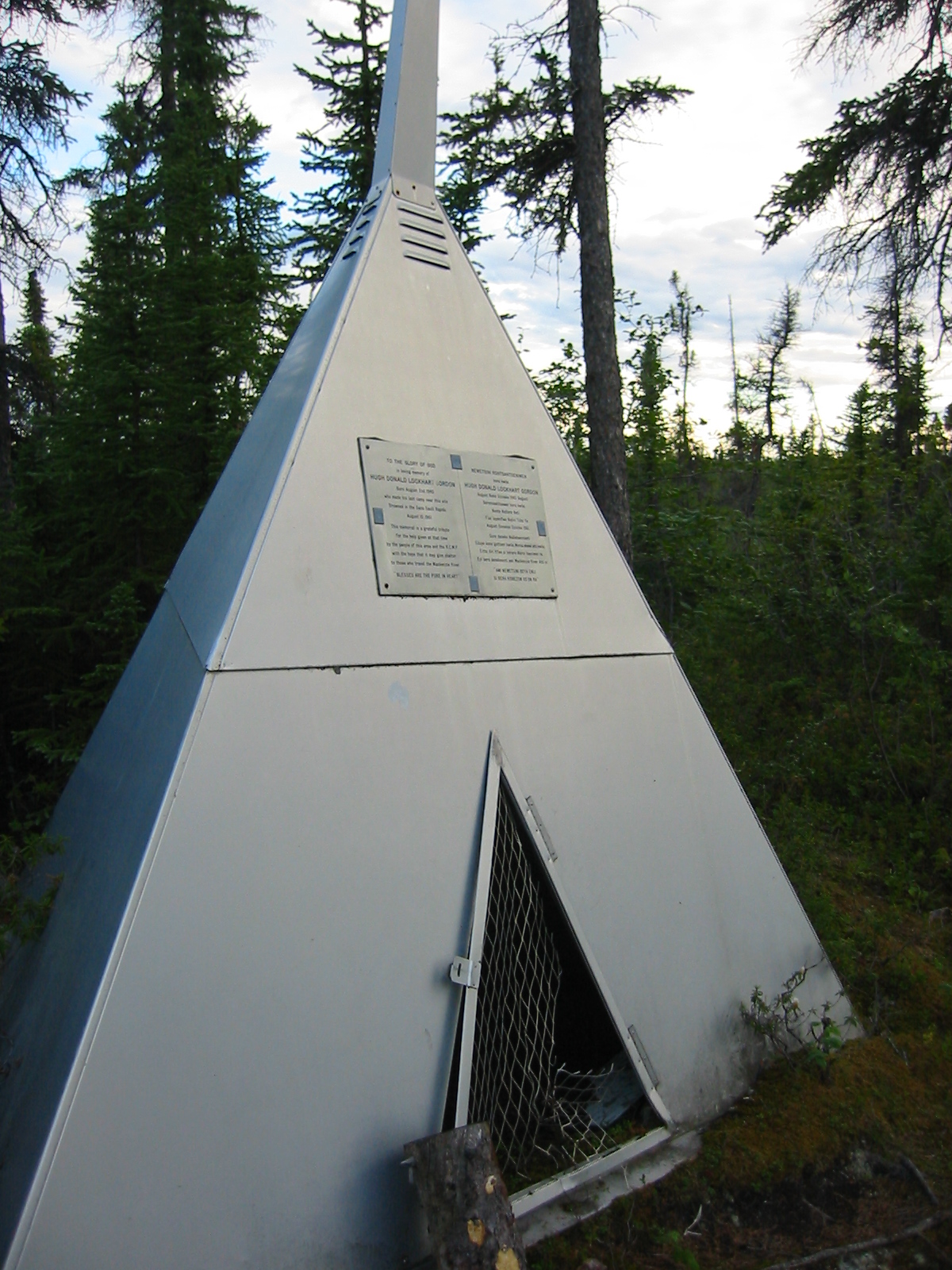
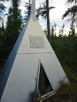
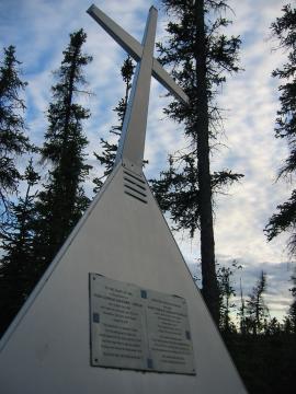
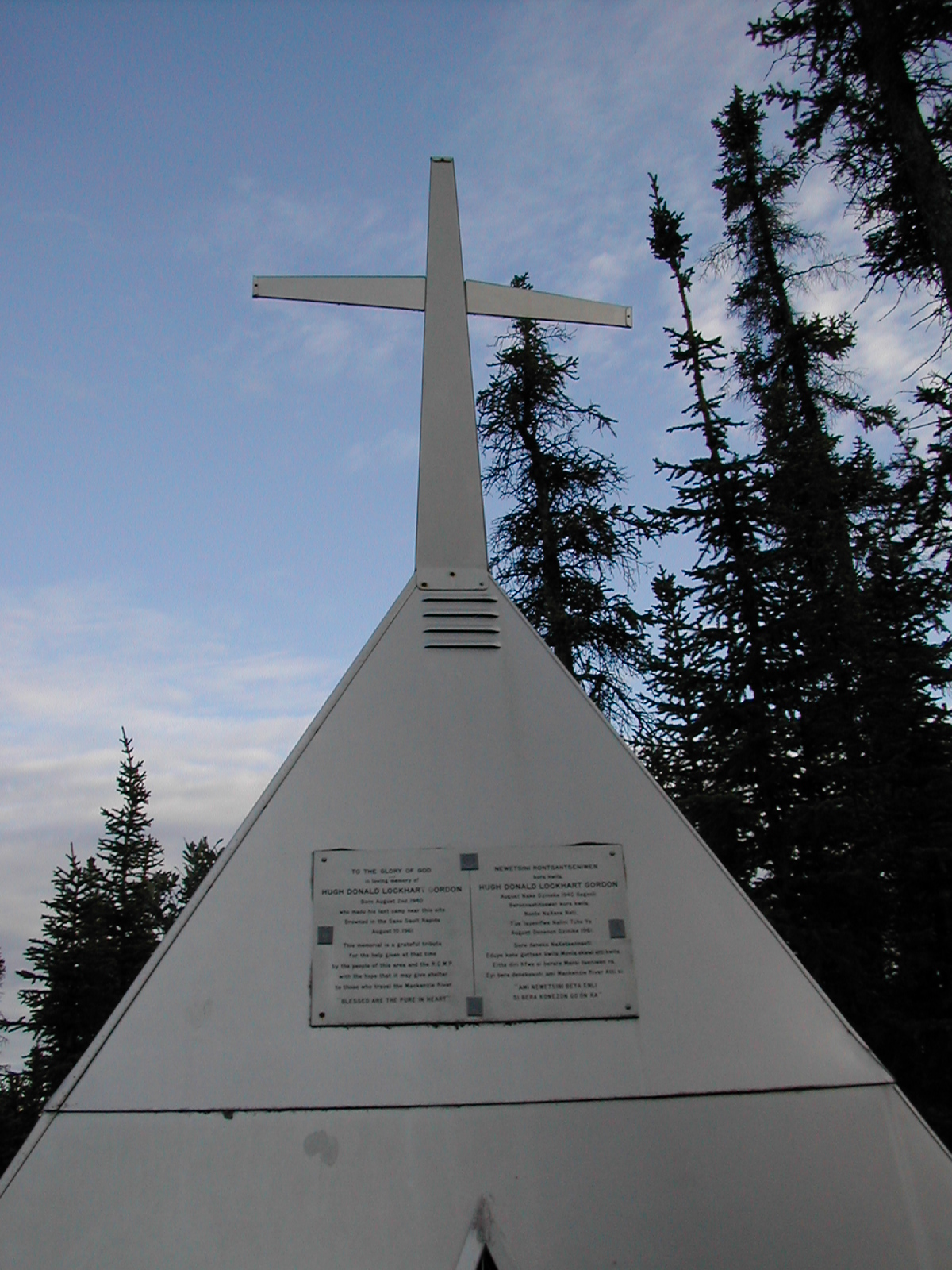
| 1185596525.JPG | 1185596525-pv.JPG | Memorial at Sans Sault Rapids | mrd |
| 1185596558.JPG | 1185596558-pv.JPG | Memorial at Sans Sault Rapids | mrd |
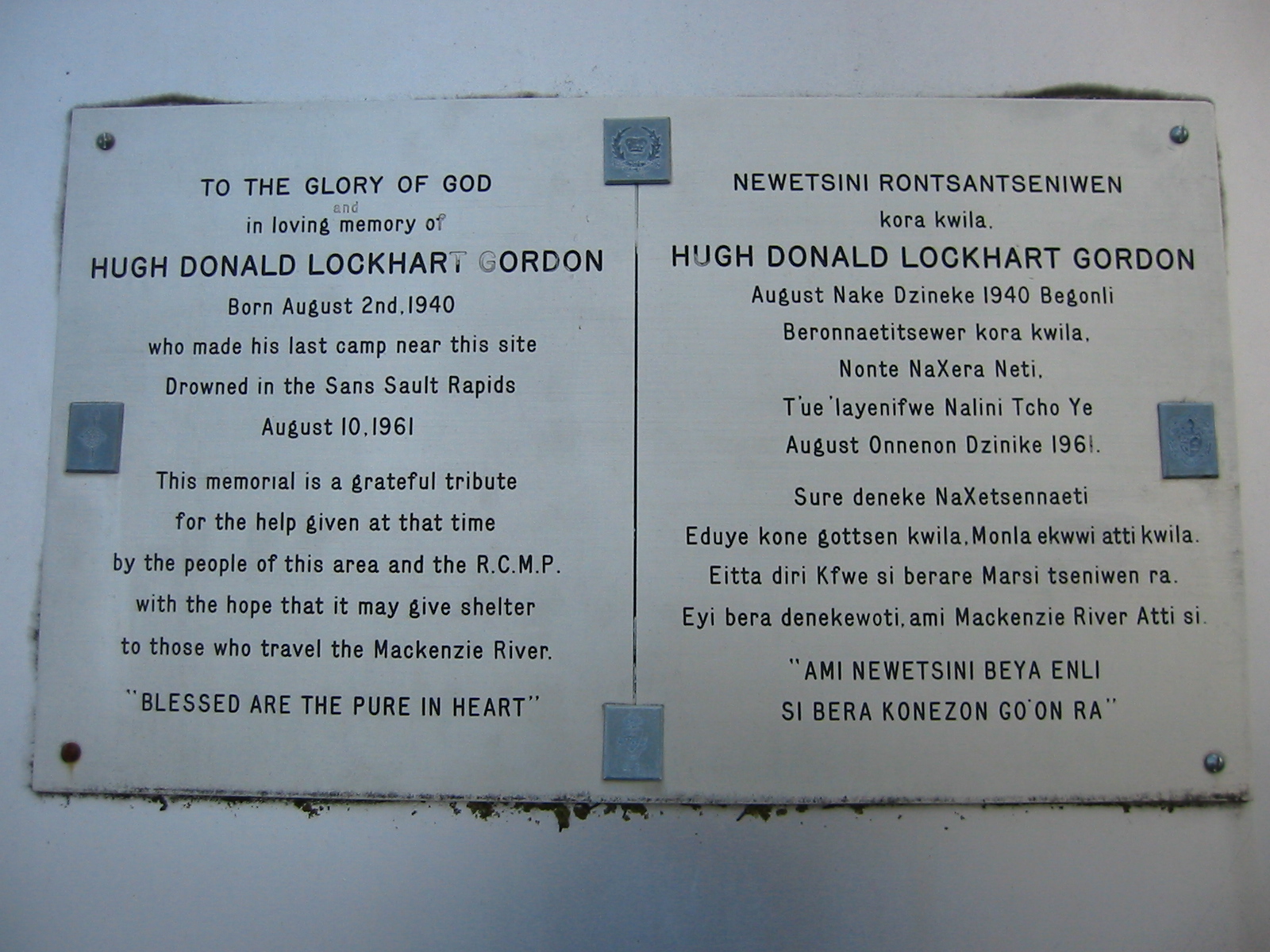
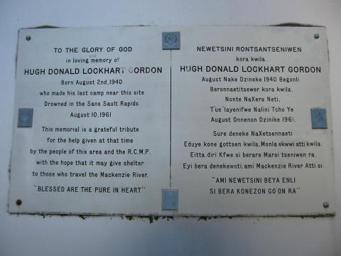
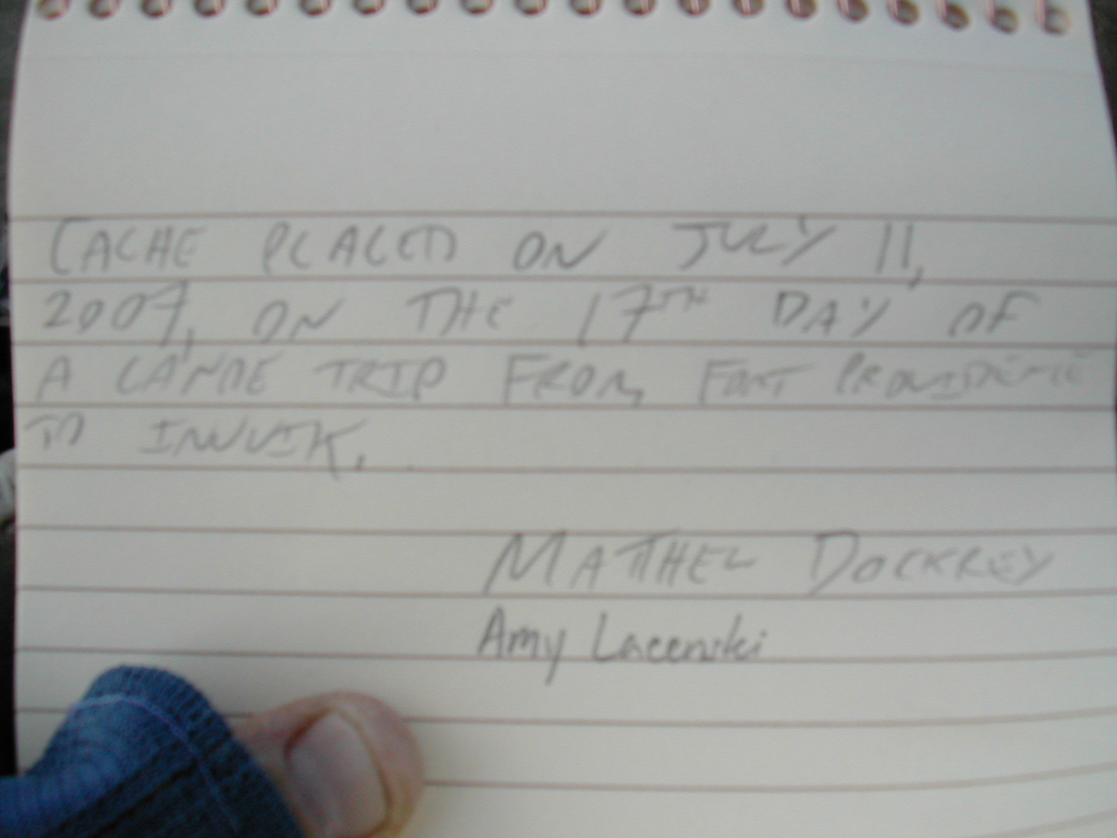
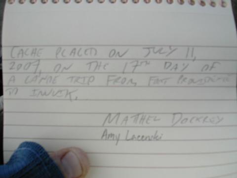
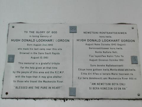
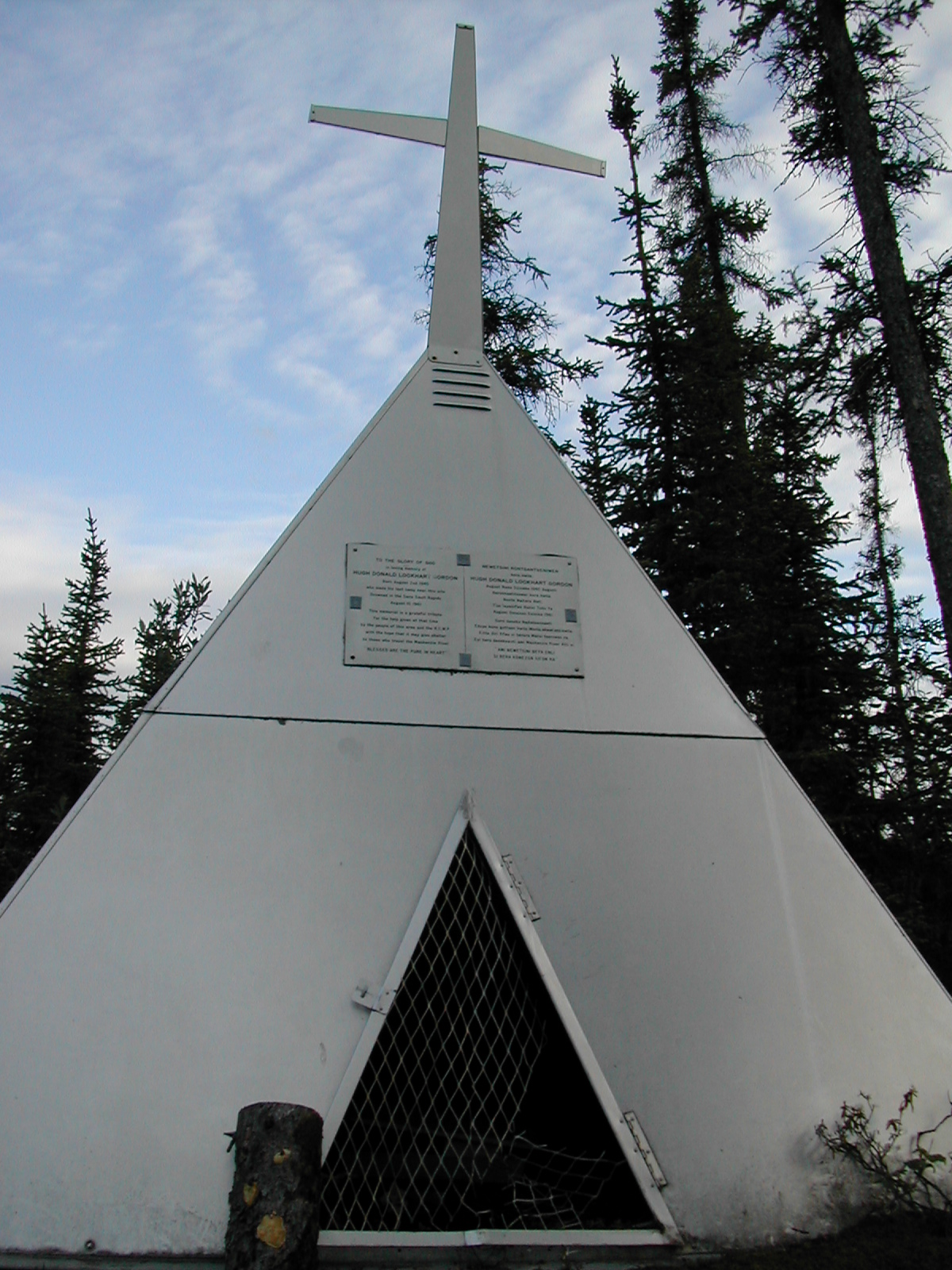
| 1185596738.JPG | 1185596738-pv.JPG | Sign on the Sans Sault Rapids memorial: To the glory of god and in loving memory of Hugh Donald Lockhart Gordon Born August 2nd, 1940 who made his last camp near this site Drowned in the Sans Sault Rapids August 10, 1961 This memorial is a grateful tribute for the help given at that time by the people of the area and the RCMP with the hope that it may give shelter to those who travel the Mackenzie River "BLESSED ARE THE PURE OF HEART" | mrd |
| 1185596773.JPG | 1185596773-pv.JPG | Snafu Creek | mrd |
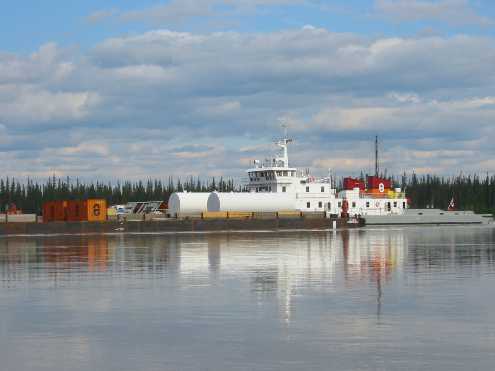
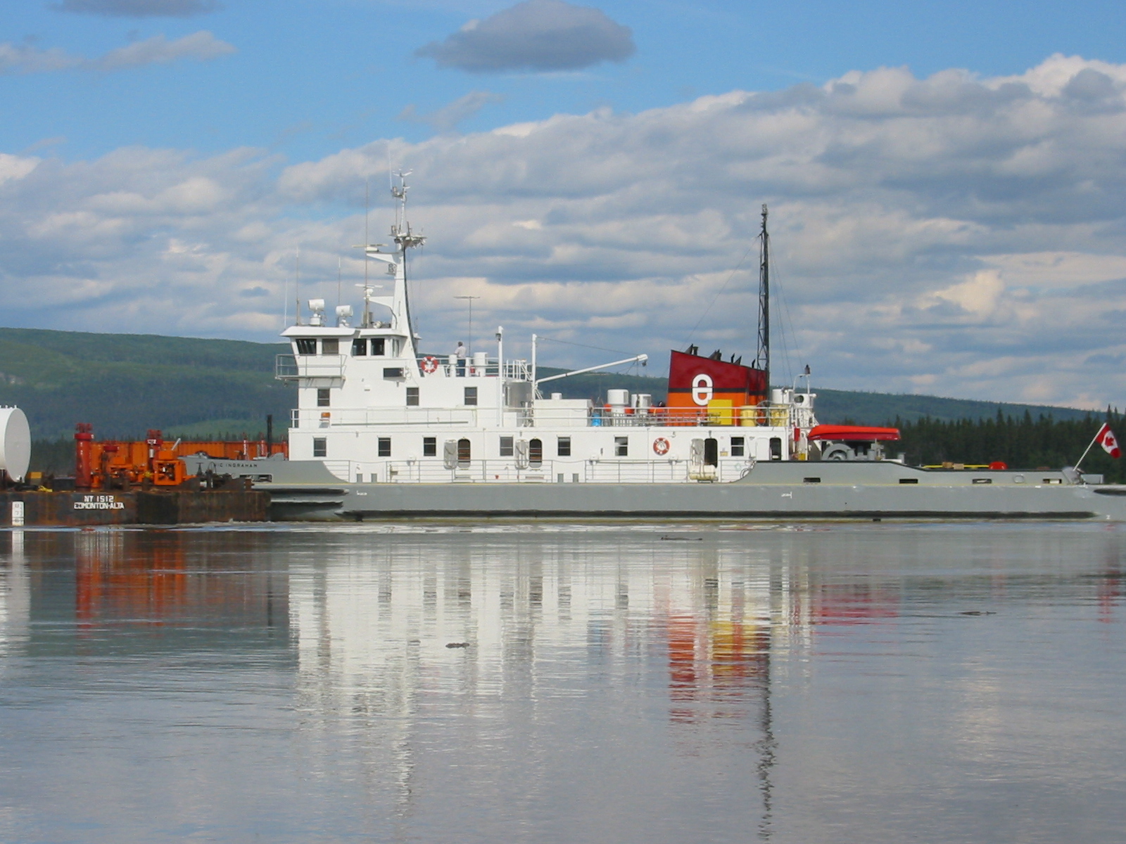
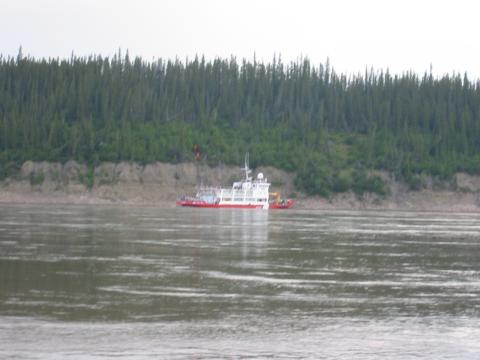
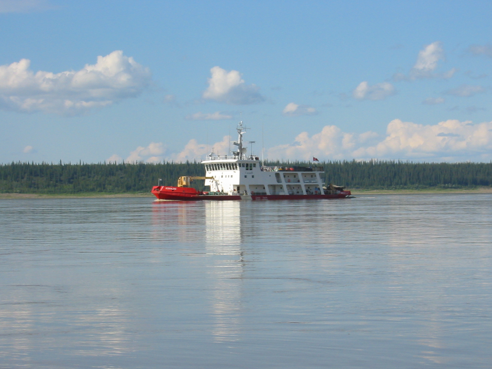
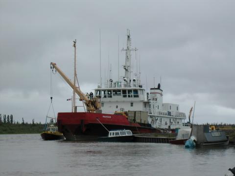
| 1185597061.JPG | 1185597061-pv.JPG | Canadian Coast Guard 'Special River Navaids Tender' Eckaloo | mrd |
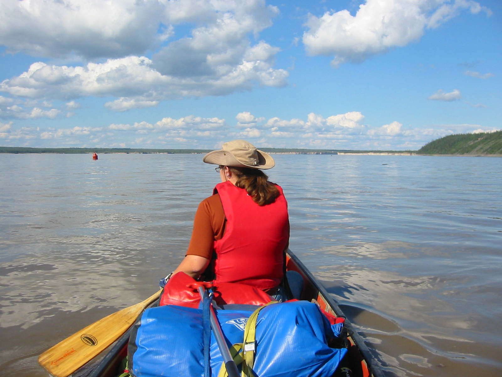
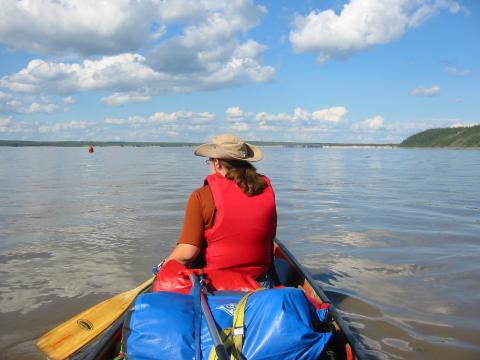
| 1185597317.JPG | 1185597317-pv.JPG | Canoe view approaching the Ramparts | mrd |
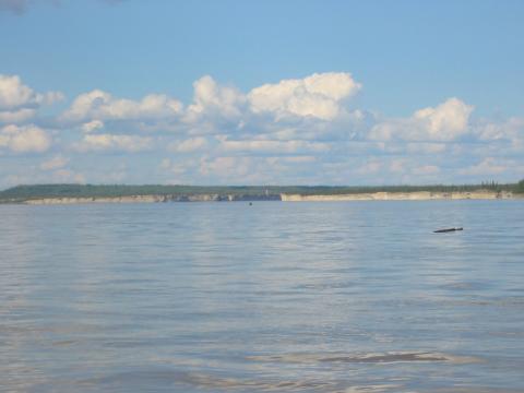
| 1185597397.JPG | 1185597397-pv.JPG | Approaching the Ramparts | mrd |
| 1185597419.JPG | 1185597419-pv.JPG | Approaching the Ramparts | mrd |
| 1185597480.JPG | 1185597480-pv.JPG | Approaching the Ramparts | mrd |
| 1185597585.JPG | 1185597585-pv.JPG | Approaching the Ramparts | mrd |
| 1185597611.JPG | 1185597611-pv.JPG | Canoe view approaching the Ramparts | mrd |
| 1185597638.JPG | 1185597638-pv.JPG | Canoe view approaching the Ramparts, Ari looking back | mrd |
| 1185597657.JPG | 1185597657-pv.JPG | Approaching the Ramparts | mrd |
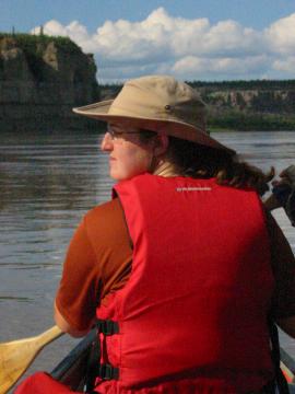
| 1185597698.JPG | 1185597698-pv.JPG | Ari looking back, in front of the Ramparts | mrd |
| 1185597726.JPG | 1185597726-pv.JPG | Ari looking back, in front of the Ramparts (good) | mrd |
| 1185597752.JPG | 1185597752-pv.JPG | Ari looking back, in front of the Ramparts | mrd |
| 1185597778.JPG | 1185597778-pv.JPG | Ari looking back, in front of the Ramparts | mrd |
| 1185597805.JPG | 1185597805-pv.JPG | Ari looking back, in front of the Ramparts | mrd |
| 1185597836.JPG | 1185597836-pv.JPG | Ari looking back, in front of the Ramparts (good) | mrd |
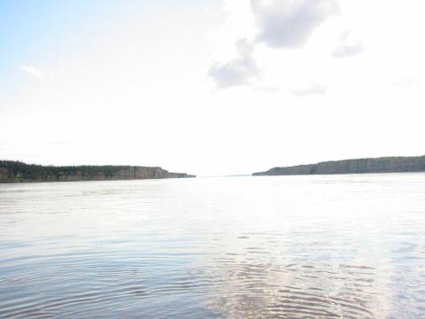
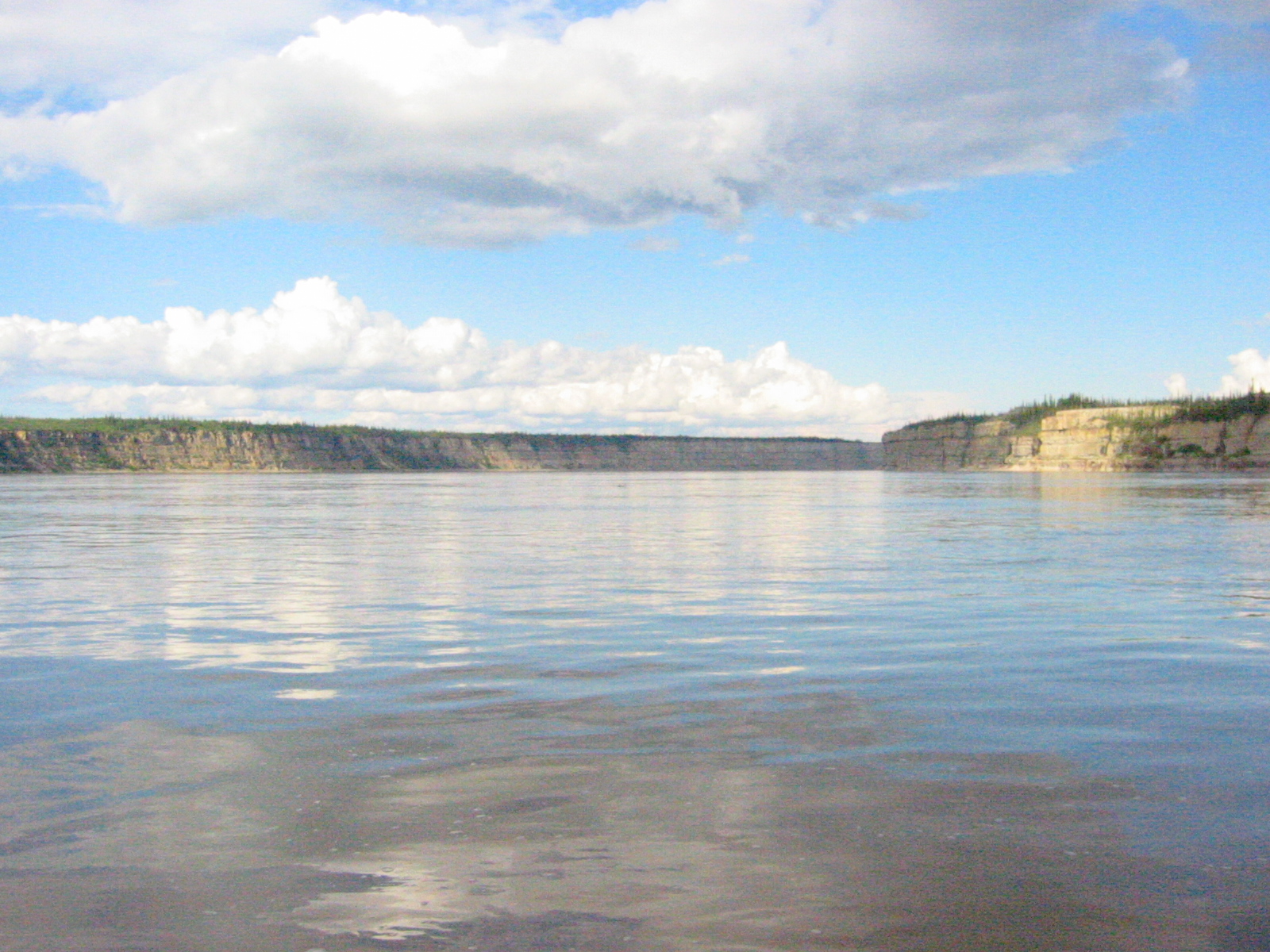
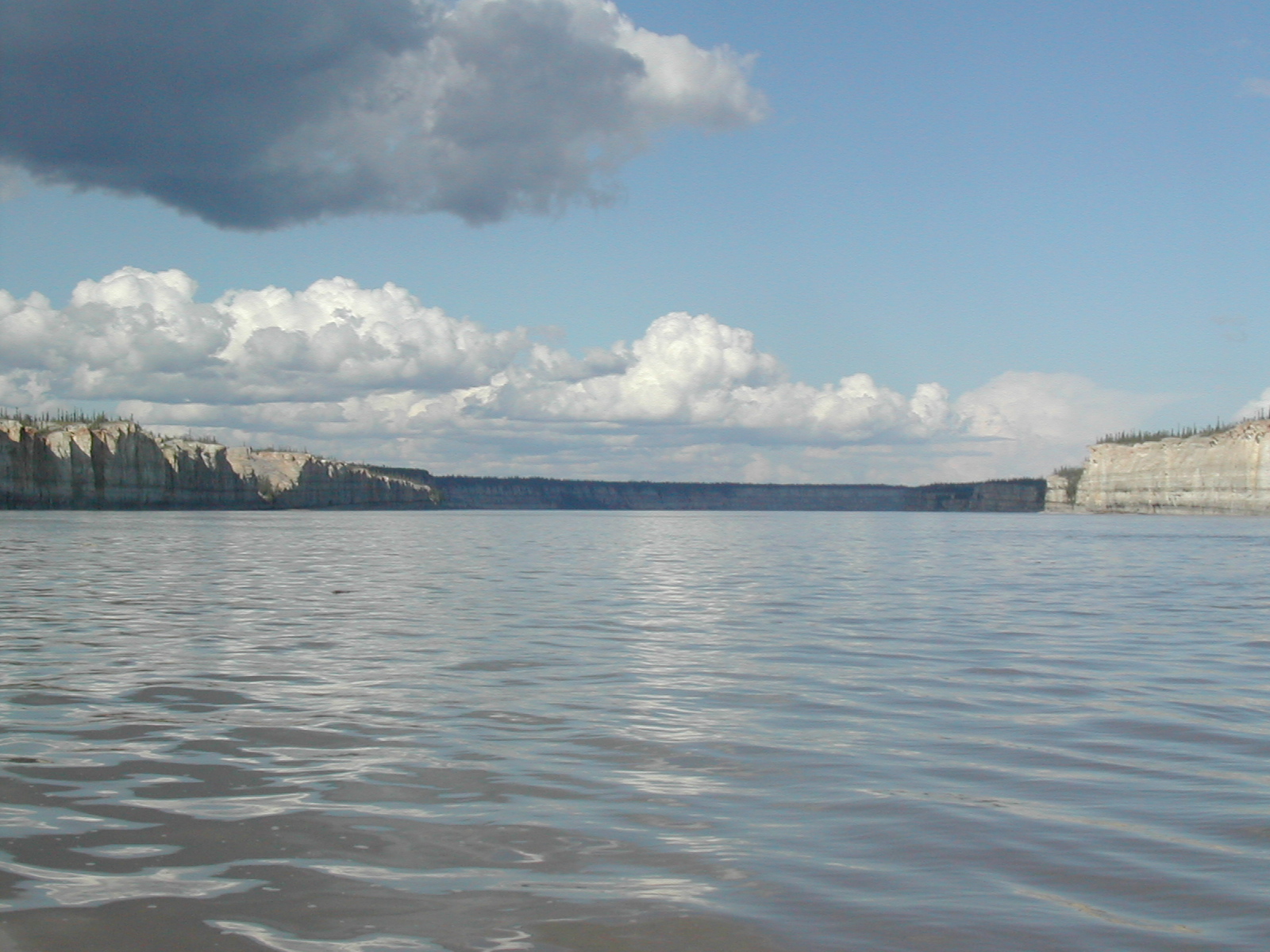
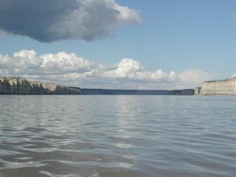
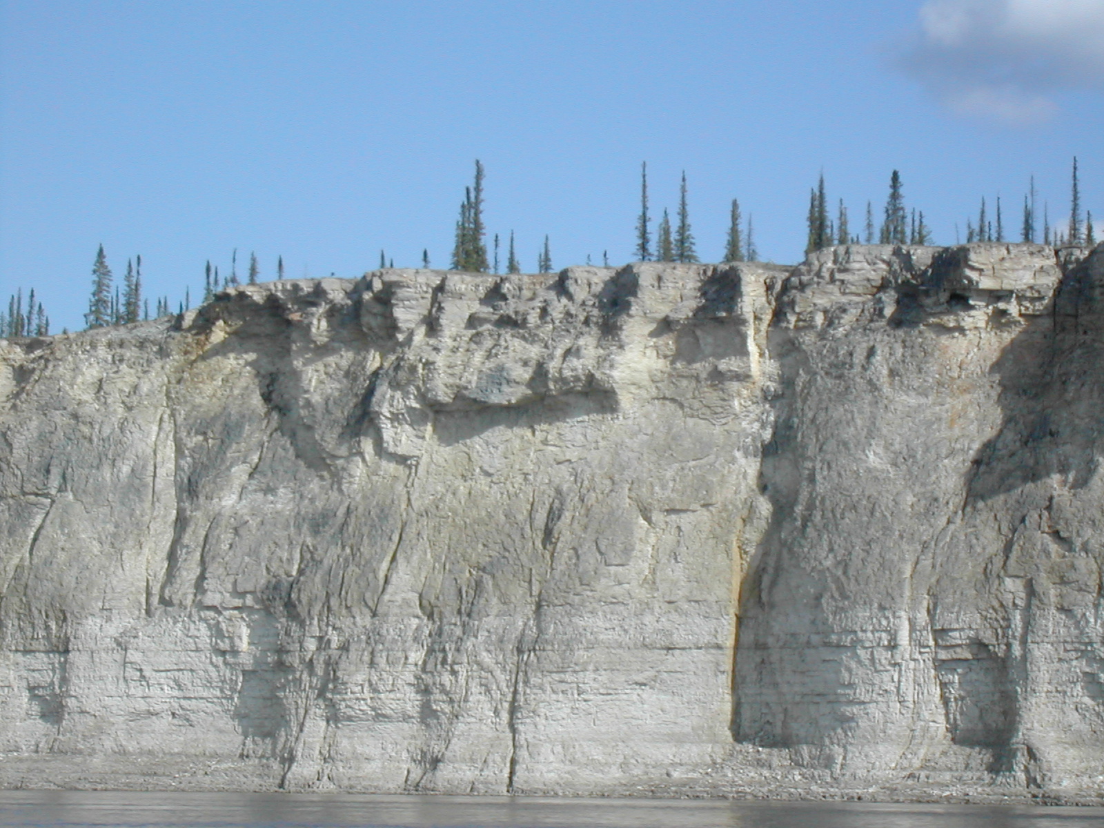
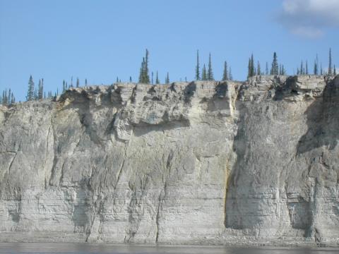
| 1185598061.JPG | 1185598061-pv.JPG | The Ramparts | mrd |
| 1185599441.JPG | 1185599441-pv.JPG | The Ramparts | mrd |
| 1185599461.JPG | 1185599461-pv.JPG | The Ramparts | mrd |
| 1185599478.JPG | 1185599478-pv.JPG | The Ramparts | mrd |
| 1185599496.JPG | 1185599496-pv.JPG | The Ramparts | mrd |
| 1185599511.JPG | 1185599511-pv.JPG | The Ramparts | mrd |
| 1185599528.JPG | 1185599528-pv.JPG | The Ramparts | mrd |
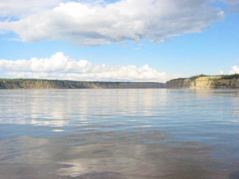
| 1185599552.JPG | 1185599552-pv.JPG | Looking back along the Ramparts | mrd |
| 1185599565.JPG | 1185599565-pv.JPG | Looking back along the Ramparts | mrd |
| 1185599583.JPG | 1185599583-pv.JPG | Looking back along the Ramparts | mrd |
| 1185599611.JPG | 1185599611-pv.JPG | Ari looking back in the Ramparts | mrd |
| 1185599642.JPG | 1185599642-pv.JPG | Ari looking back in the Ramparts | mrd |
| 1185599669.JPG | 1185599669-pv.JPG | The Ramparts | mrd |
| 1185599690.JPG | 1185599690-pv.JPG | The Ramparts | mrd |
| 1185599706.JPG | 1185599706-pv.JPG | The Ramparts | mrd |
| 1185599737.JPG | 1185599737-pv.JPG | Looking back along the Ramparts | mrd |
| 1185599754.JPG | 1185599754-pv.JPG | Waterfall after the Ramparts | mrd |
| 1185599792.JPG | 1185599792-pv.JPG | Waterfall after the Ramparts | mrd |
| 1185599863.JPG | 1185599863-pv.JPG | Barge headed upriver just after the Ramparts | mrd |
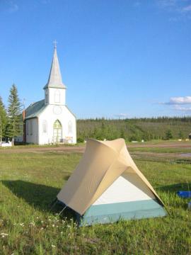
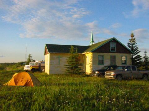
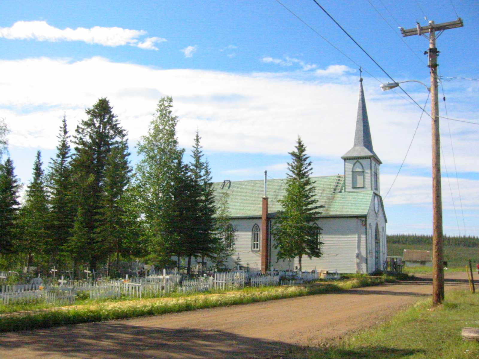
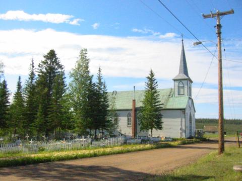
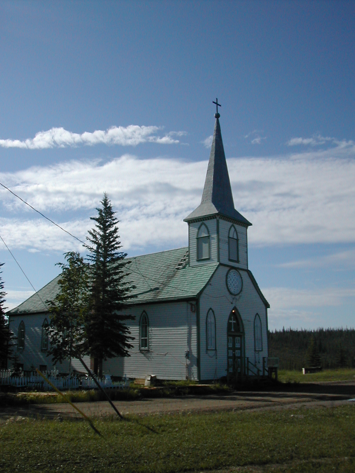
| 1185599914.JPG | 1185599914-pv.JPG | Campsite at Fort Good Hope in the churchyard | mrd |
| 1185599950.JPG | 1185599950-pv.JPG | Looking back at the Ramparts from Fort Good Hope | mrd |
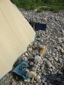
| 1185599982.JPG | 1185599982-pv.JPG | Campsite at Fort Good Hope in the churchyard, one of the Japanese paddler's tents visible | mrd |
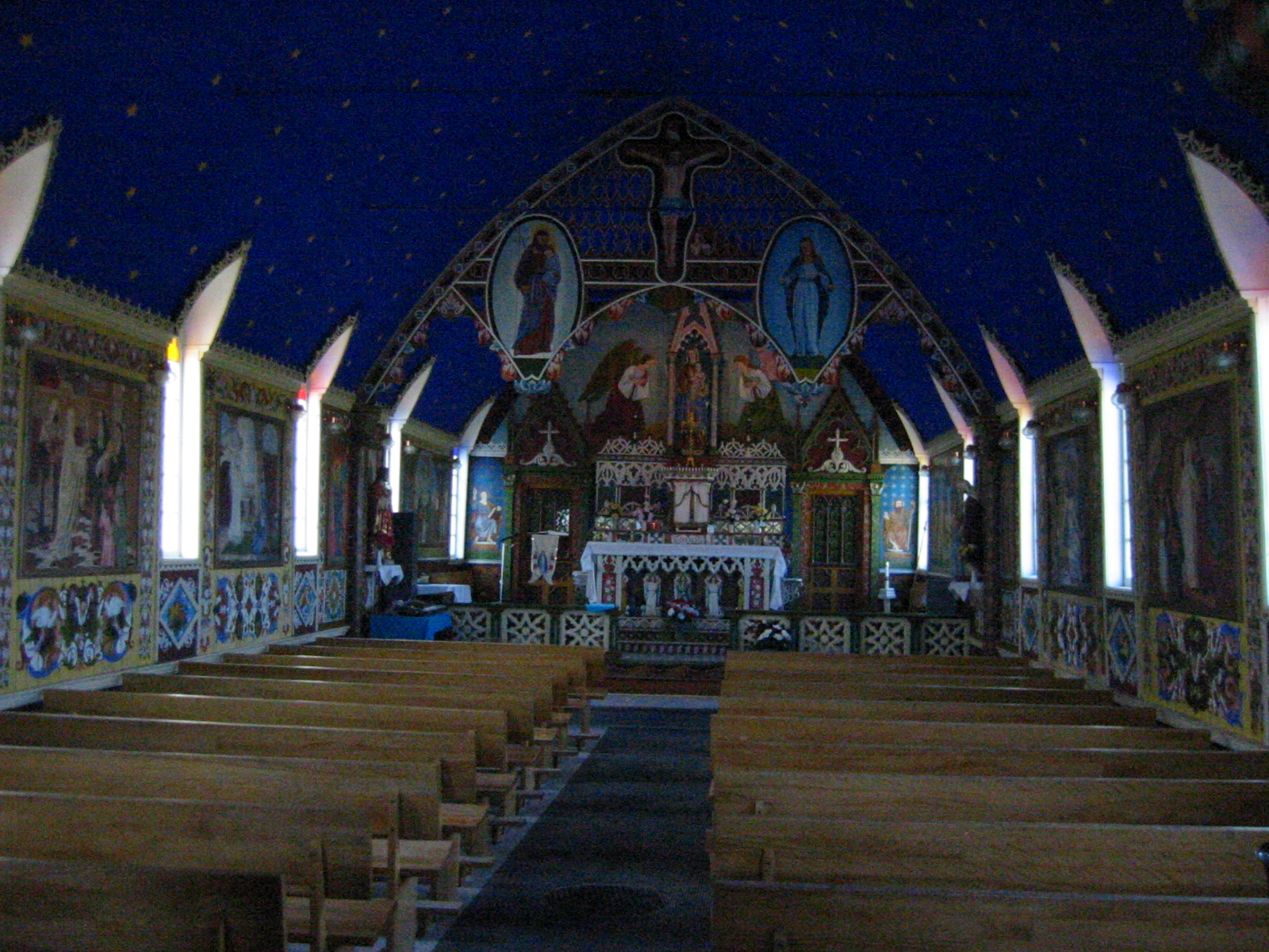
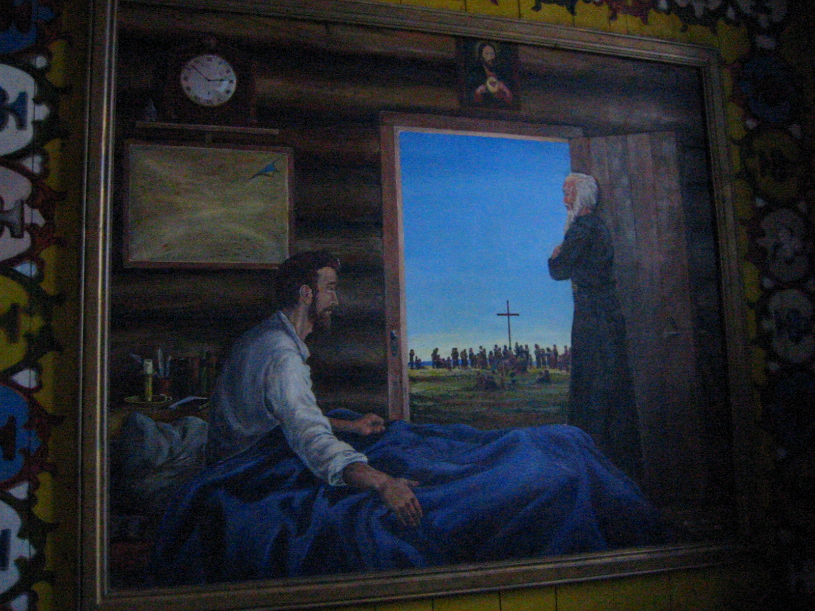
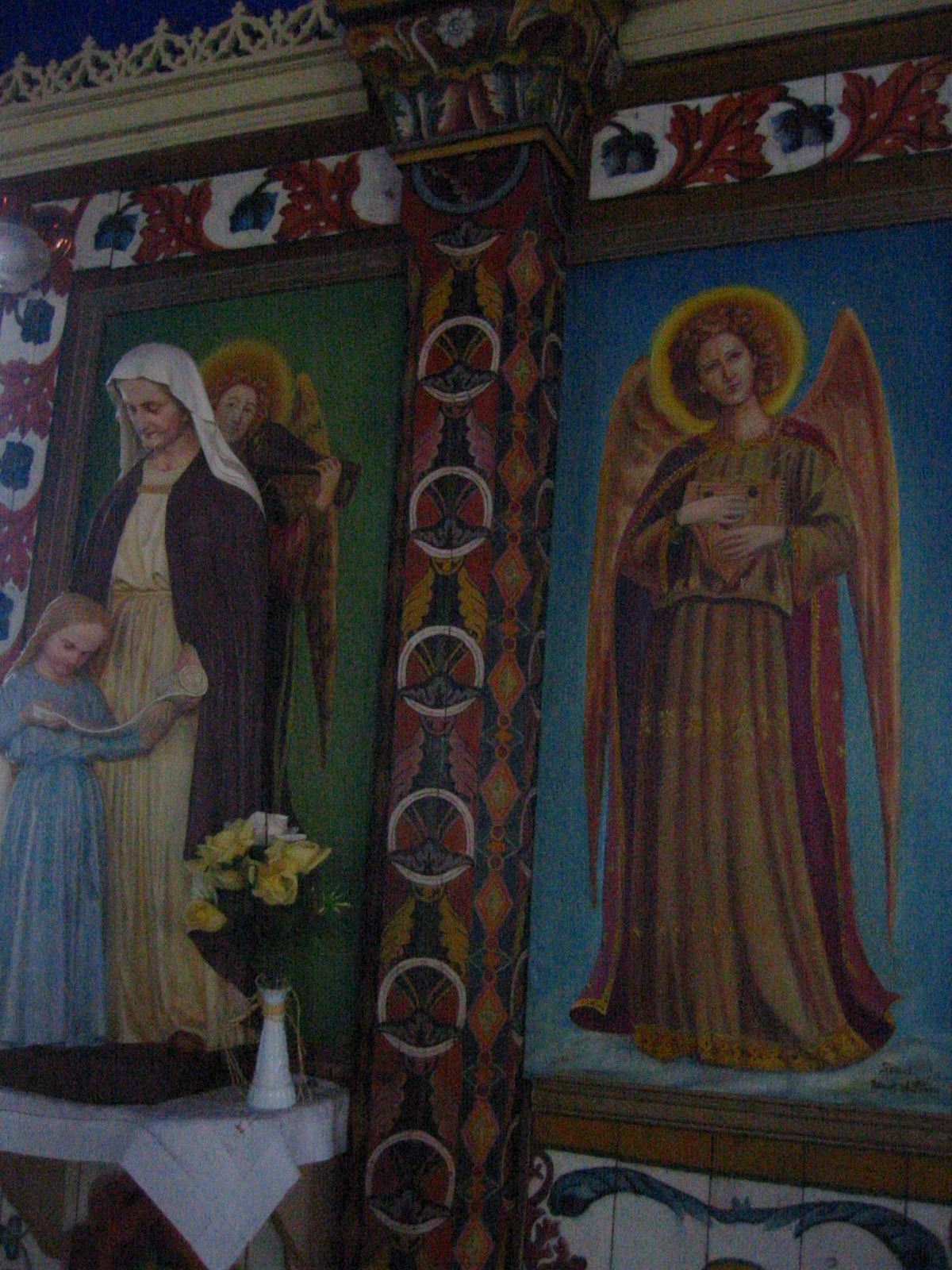
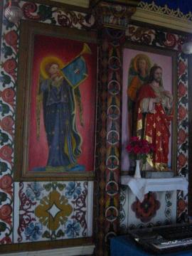
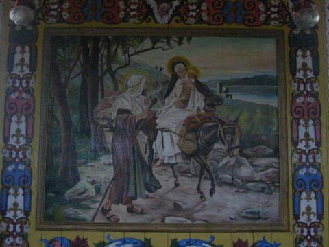
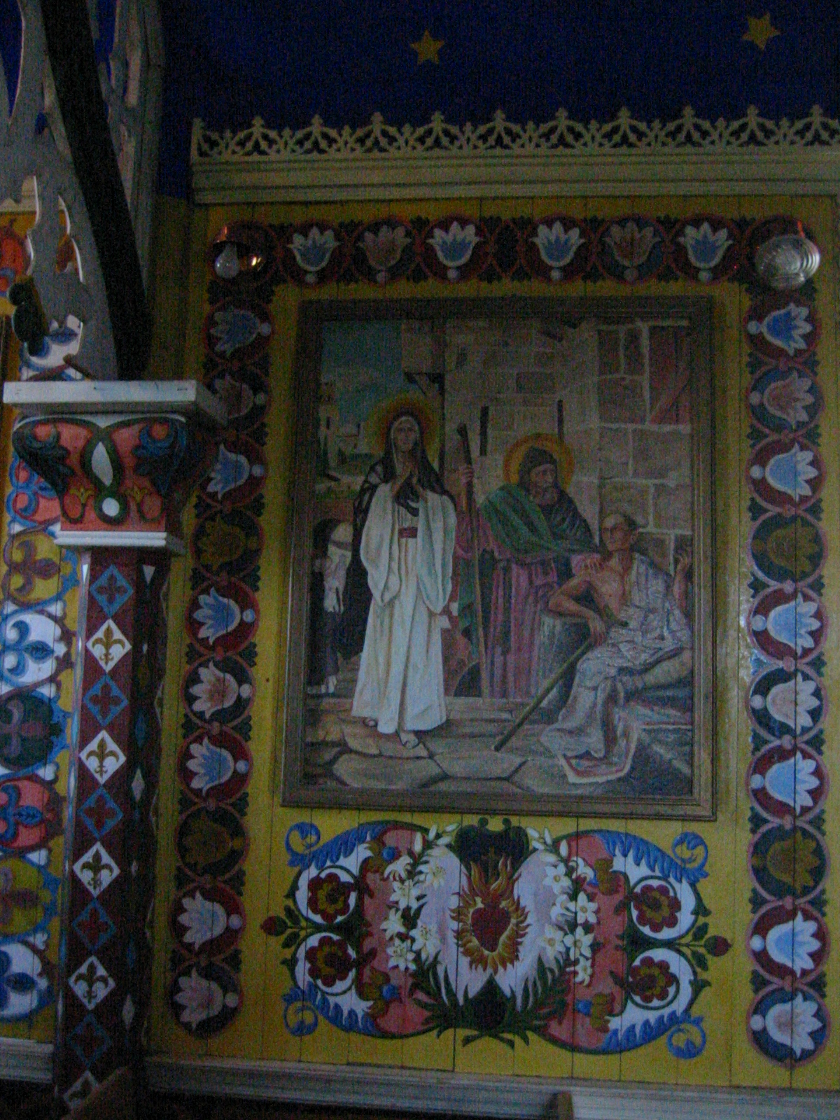
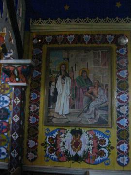
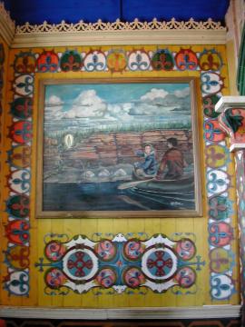
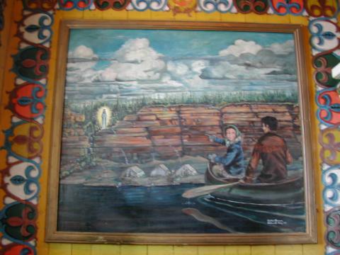
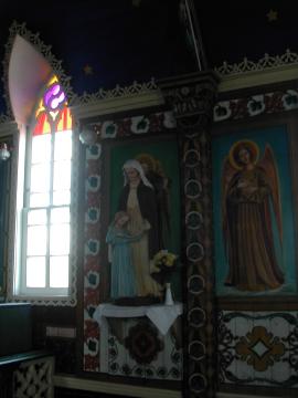
| 1185600297.JPG | 1185600297-pv.JPG | Mural in the Fort Good Hope church, Virgin Mary sighting | mrd |
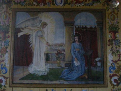
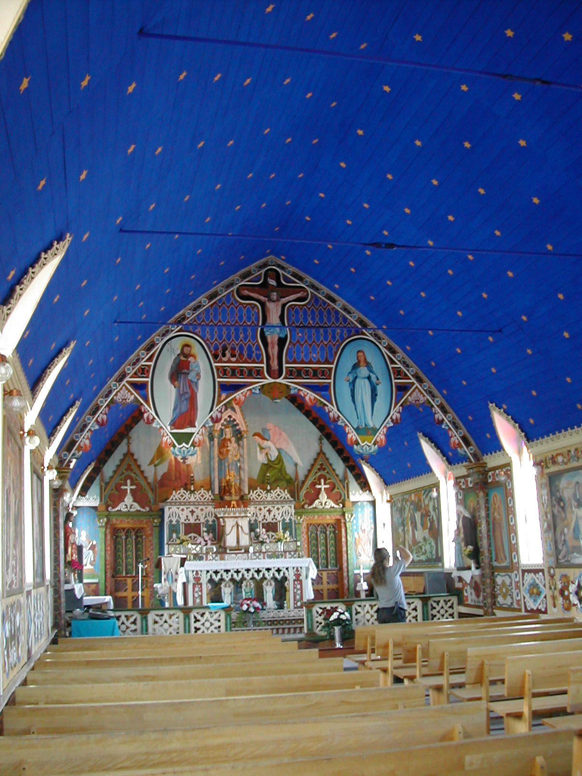
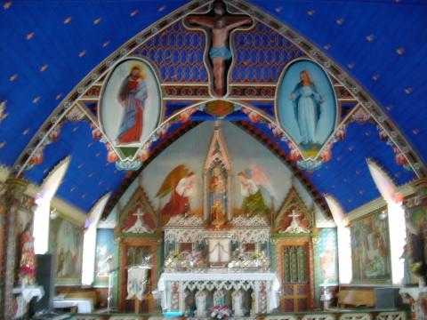
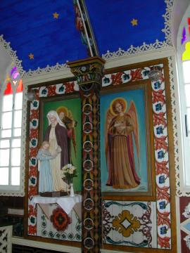
| 1185600329.JPG | 1185600329-pv.JPG | Murals in the Fort Good Hope church | mrd |
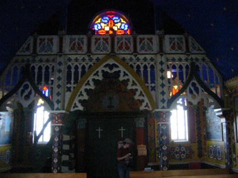
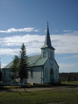
| 1185600362.JPG | 1185600362-pv.JPG | Mural in the Fort Good Hope church, showing the cross outside the church | mrd |
| 1185600382.JPG | 1185600382-pv.JPG | Murals in the Fort Good Hope church | mrd |
| 1185600411.JPG | 1185600411-pv.JPG | Murals in the Fort Good Hope church | mrd |
| 1185600430.JPG | 1185600430-pv.JPG | Murals in the Fort Good Hope church | mrd |
| 1185600452.JPG | 1185600452-pv.JPG | Murals in the Fort Good Hope church | mrd |
| 1185600485.JPG | 1185600485-pv.JPG | Murals in the Fort Good Hope church | mrd |
| 1185600502.JPG | 1185600502-pv.JPG | Murals in the Fort Good Hope church | mrd |
| 1185600523.JPG | 1185600523-pv.JPG | Murals in the Fort Good Hope church | mrd |
| 1185600549.JPG | 1185600549-pv.JPG | Murals in the Fort Good Hope church | mrd |
| 1185600573.JPG | 1185600573-pv.JPG | Murals in the Fort Good Hope church | mrd |
| 1185600595.JPG | 1185600595-pv.JPG | Murals in the Fort Good Hope church | mrd |
| 1185600617.JPG | 1185600617-pv.JPG | Murals in the Fort Good Hope church | mrd |
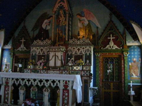
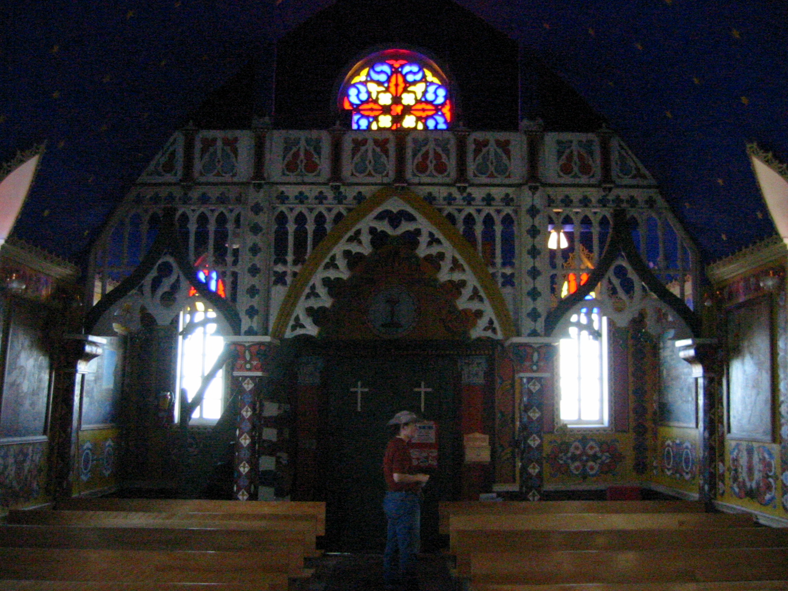
| 1185600643.JPG | 1185600643-pv.JPG | Fort Good Hope church and graveyard | mrd |
| 1185600672.JPG | 1185600672-pv.JPG | Fort Good Hope churchyard | mrd |
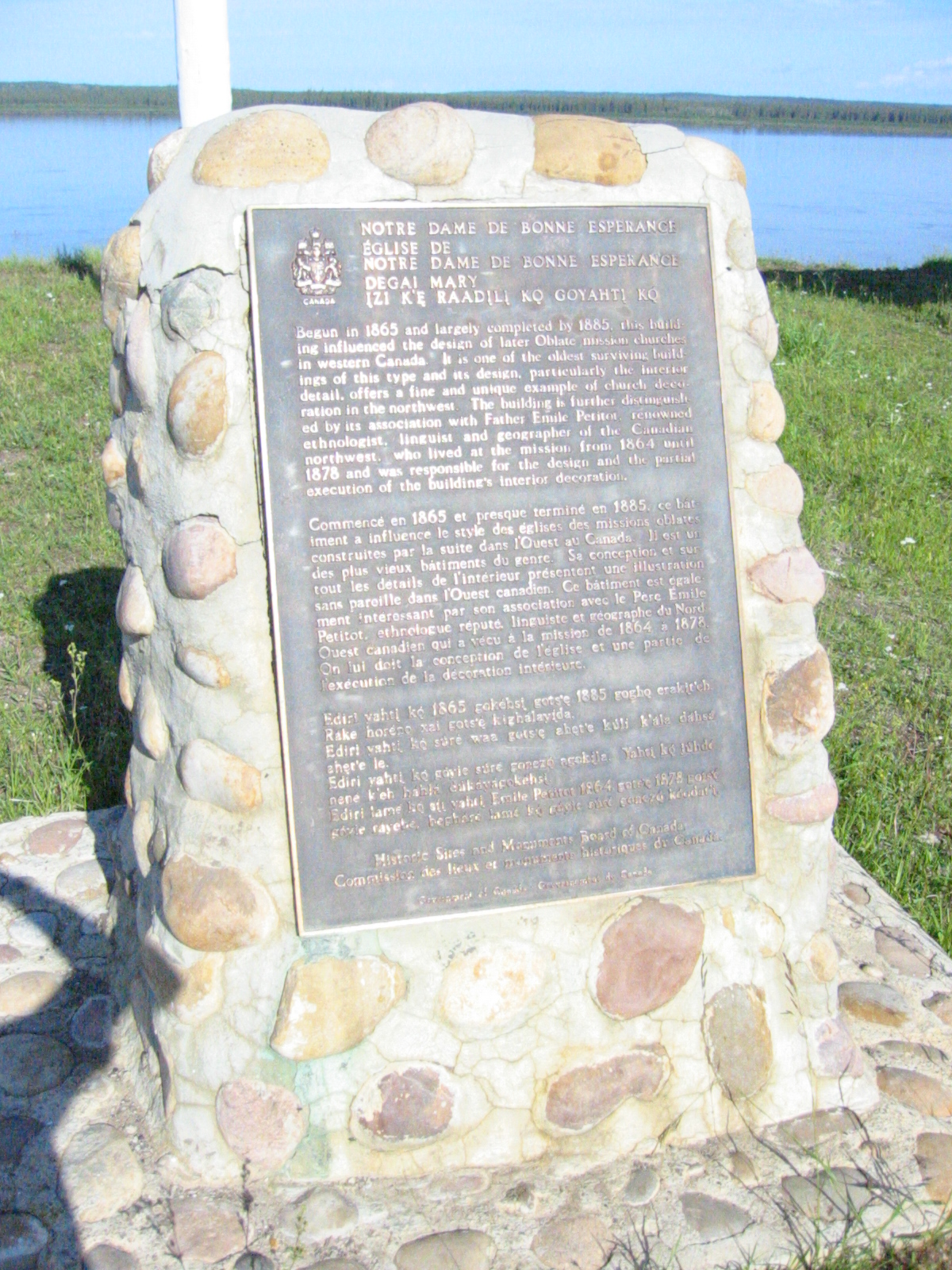
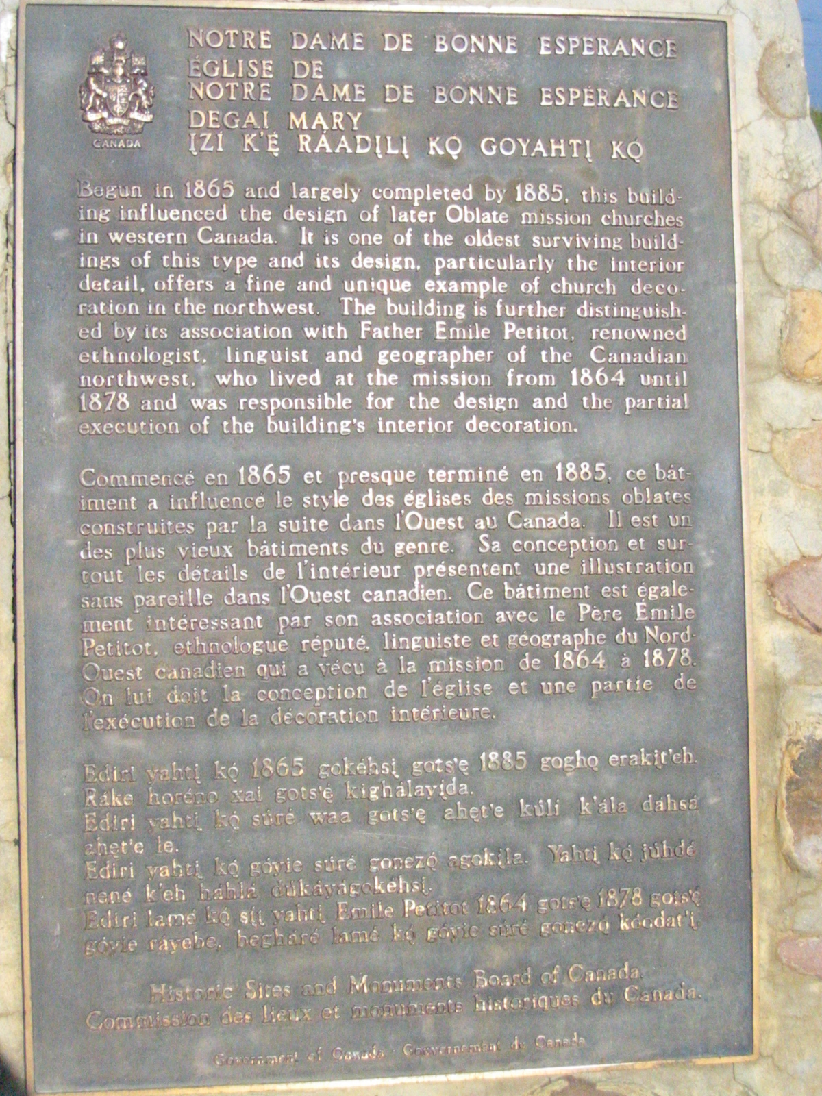
| 1185600711.JPG | 1185600711-pv.JPG | Historical structure plaque at the Fort Good Hope church | mrd |
| 1185600733.JPG | 1185600733-pv.JPG | Historical structure plaque at the Fort Good Hope church | mrd |
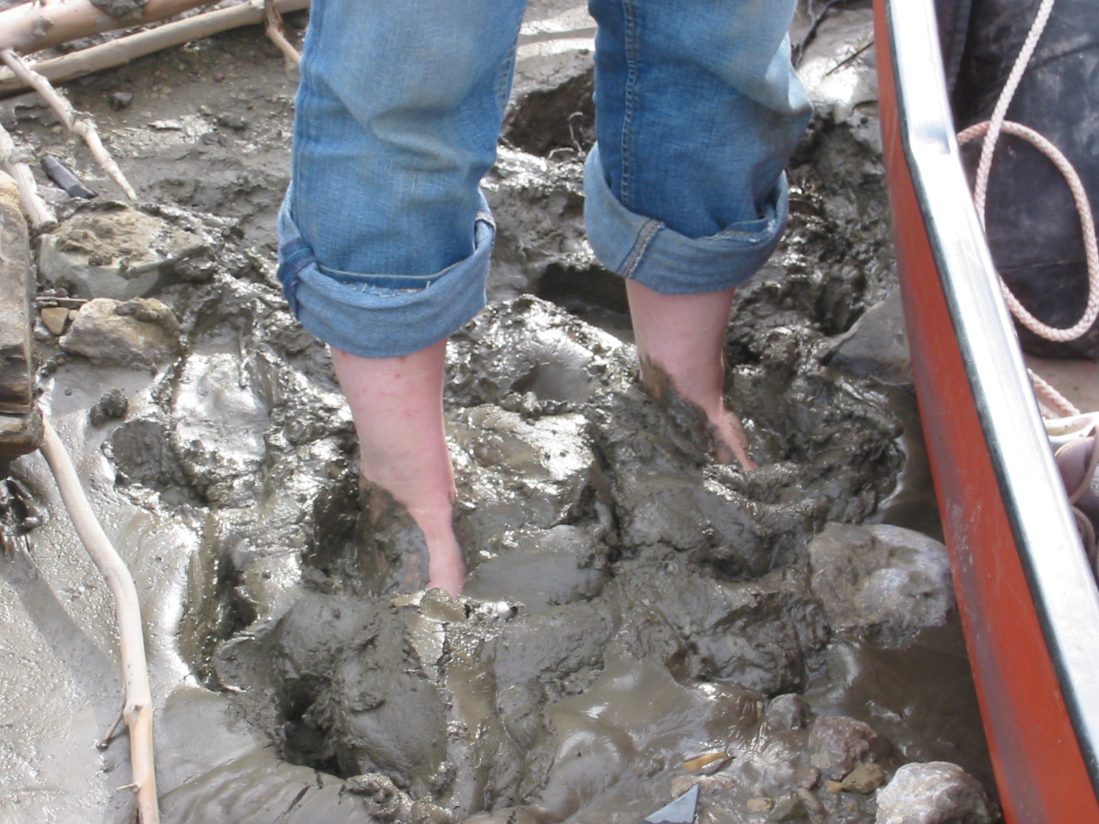
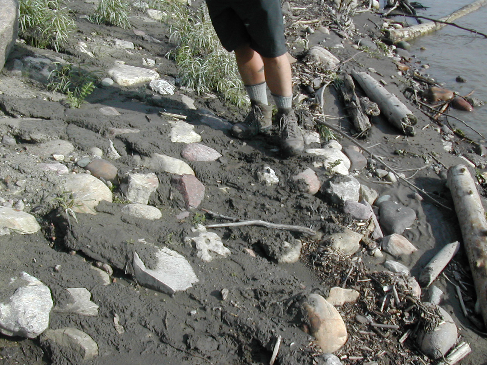
| 1185600805.JPG | 1185600805-pv.JPG | Ari dealing with horrible sticking mud | mrd |
| 1185600843.JPG | 1185600843-pv.JPG | Shoreline with increasingly sickly looking trees | mrd |
| 1185600908.JPG | 1185600908-pv.JPG | Waves after the sudden williwah on day 19 | mrd |
| 1185600934.JPG | 1185600934-pv.JPG | Waves after the sudden williwah on day 19 | mrd |
| 1185603745.JPG | 1185603745-pv.JPG | Branch marking the Arctic Circle | mrd |
| 1185603806.JPG | 1185603806-pv.JPG | Ari standing at the Arctic Circle | mrd |
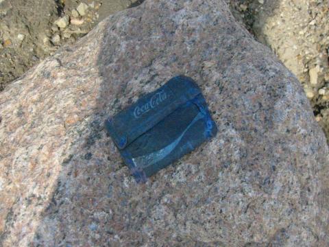
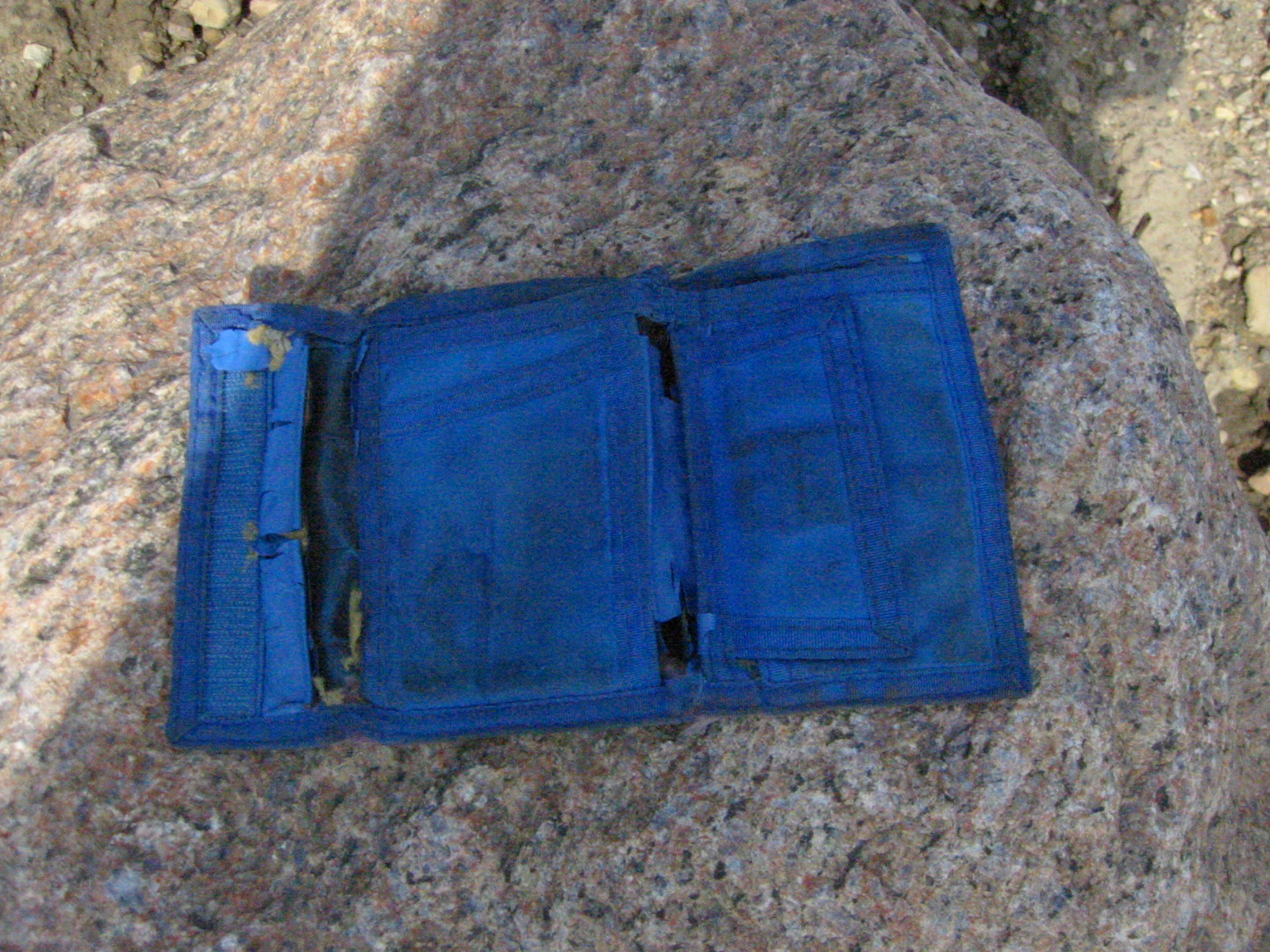
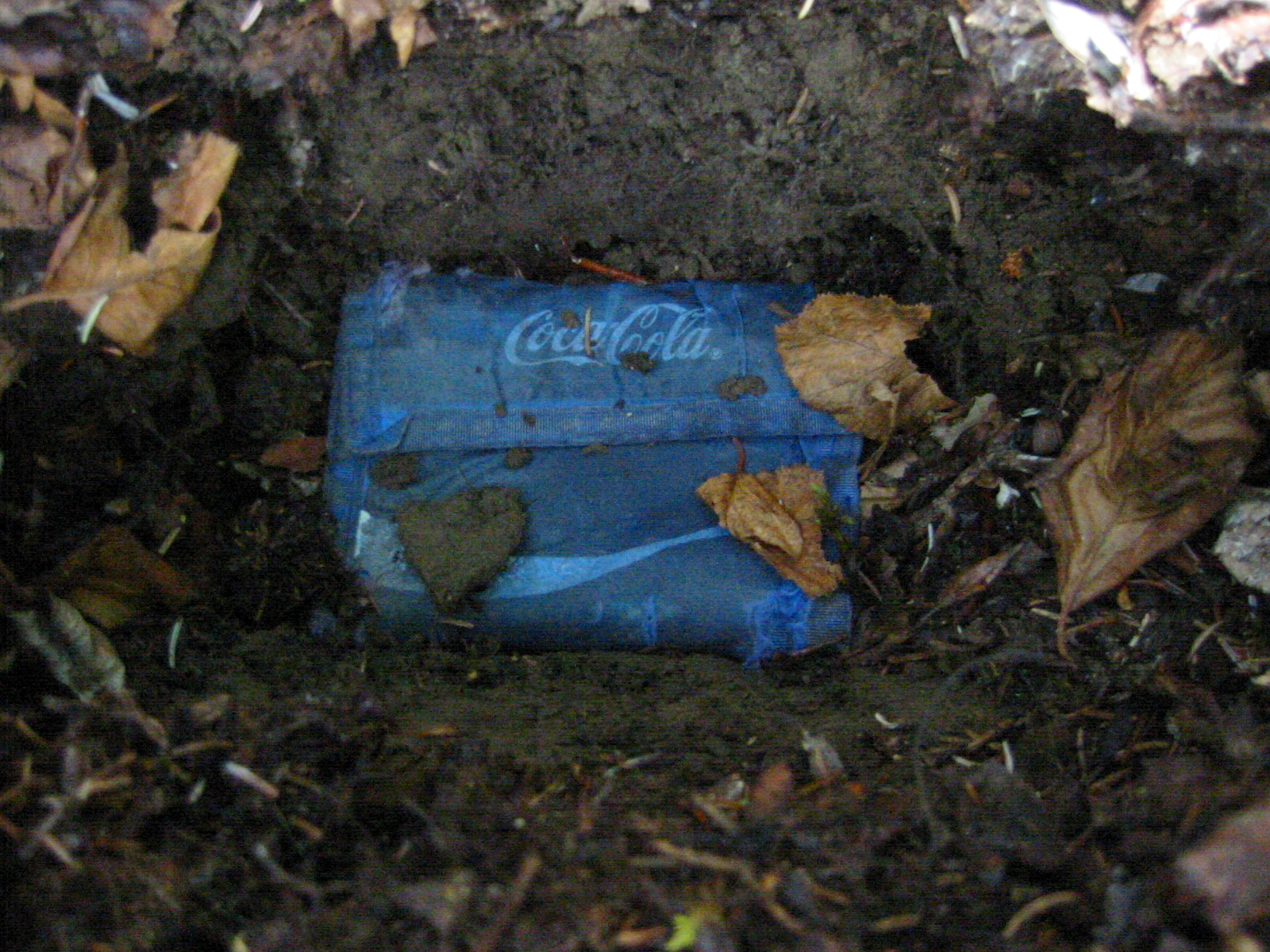
| 1185603840.JPG | 1185603840-pv.JPG | Fish's ancient blue CocaCola wallet | mrd |
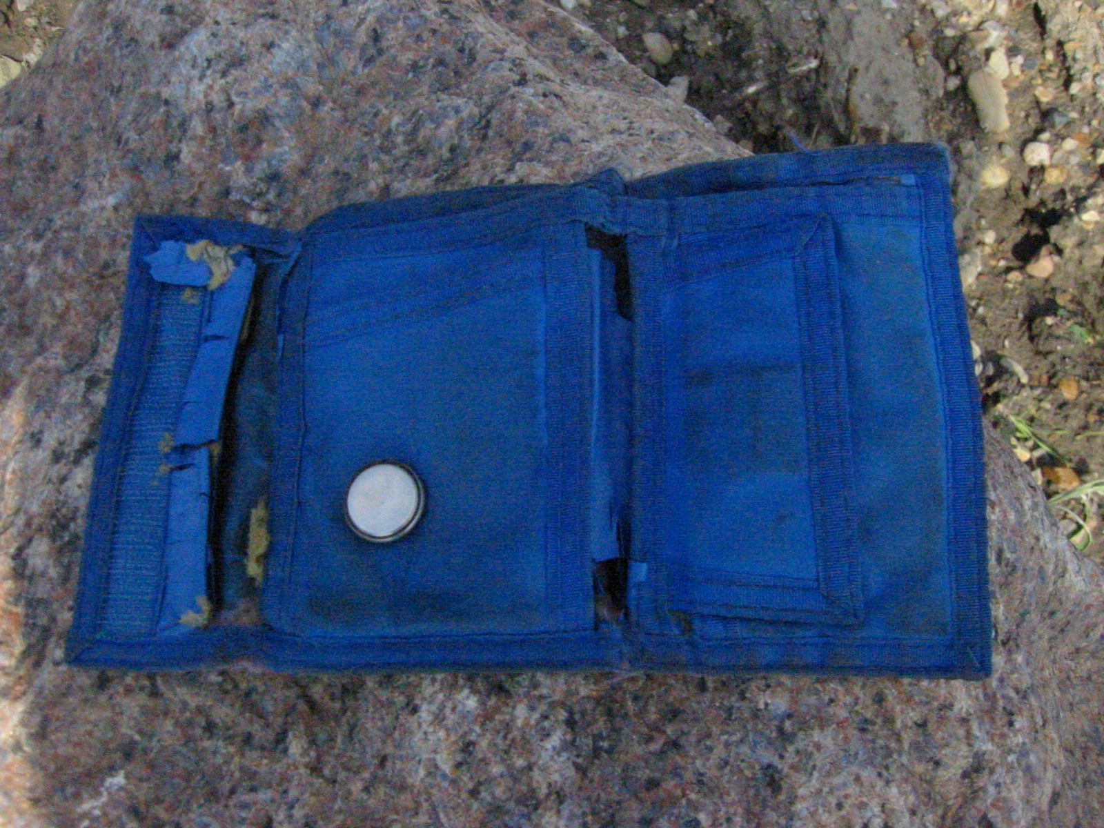
| 1185603894.JPG | 1185603894-pv.JPG | Fish's ancient blue CocaCola wallet, circle visible where the watch battery from the primitive electronic organizer he had in 4th grade lived for 20 years | mrd |
| 1185603910.JPG | 1185603910-pv.JPG | Fish's ancient blue CocaCola wallet | mrd |
| 1185603931.JPG | 1185603931-pv.JPG | Fish's ancient blue CocaCola wallet, watch battery out | mrd |
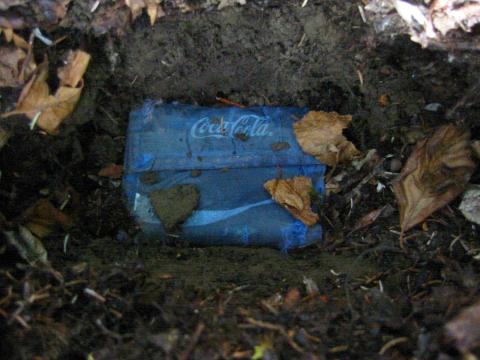
| 1185603958.JPG | 1185603958-pv.JPG | Fish's ancient blue CocaCola wallet before its grave | mrd |
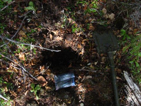
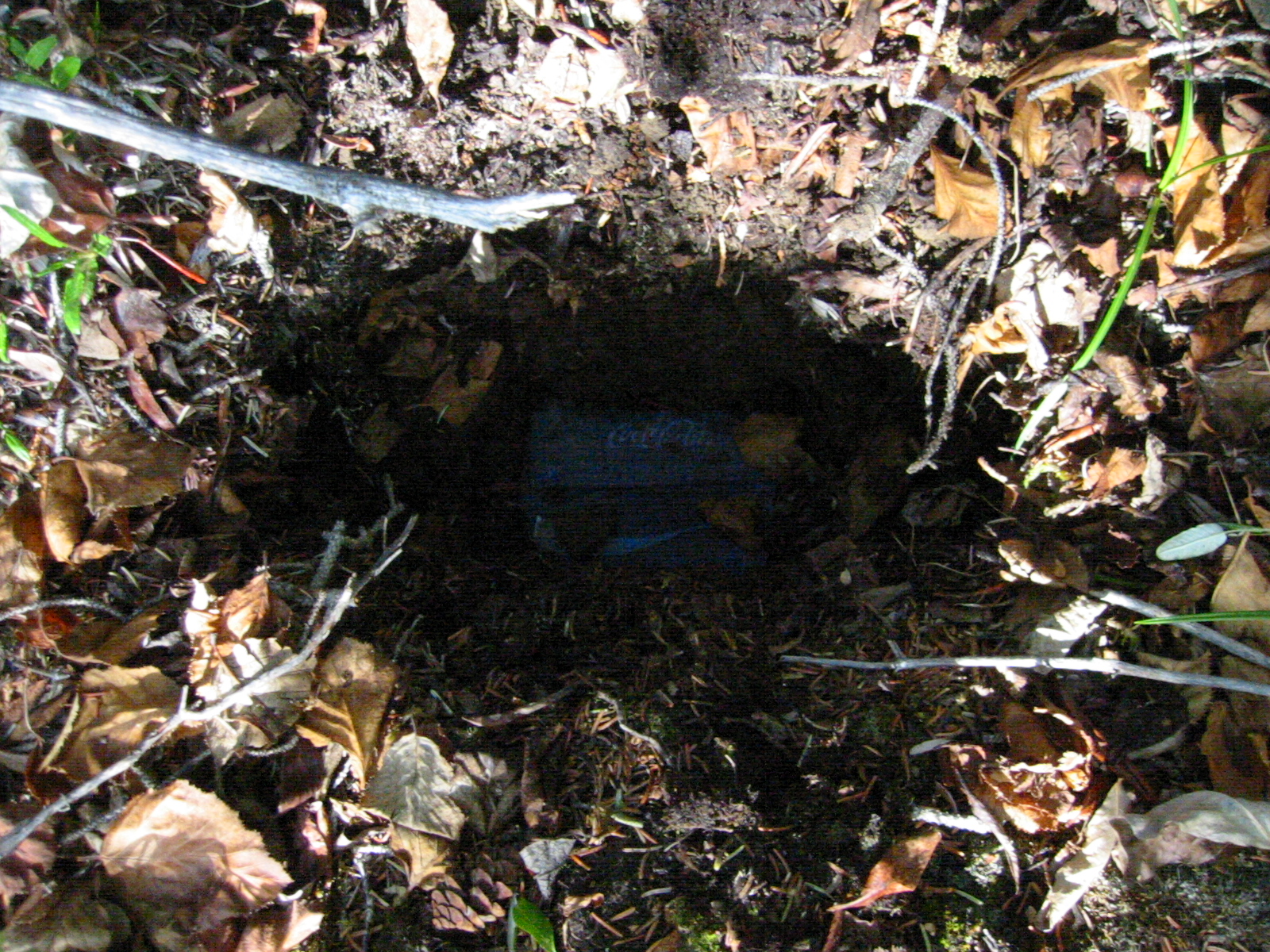
| 1185603978.JPG | 1185603978-pv.JPG | Fish's ancient blue CocaCola wallet in its grave | mrd |
| 1185604002.JPG | 1185604002-pv.JPG | Fish's ancient blue CocaCola wallet in its grave | mrd |
| 1185604040.JPG | 1185604040-pv.JPG | The gravesite of Fish's ancient blue CocaCola wallet | mrd |
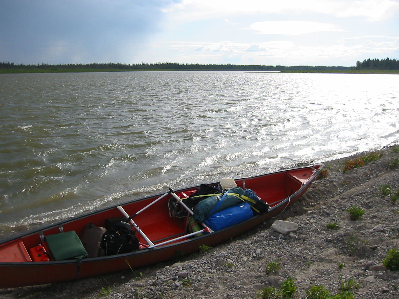
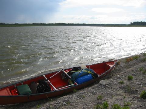
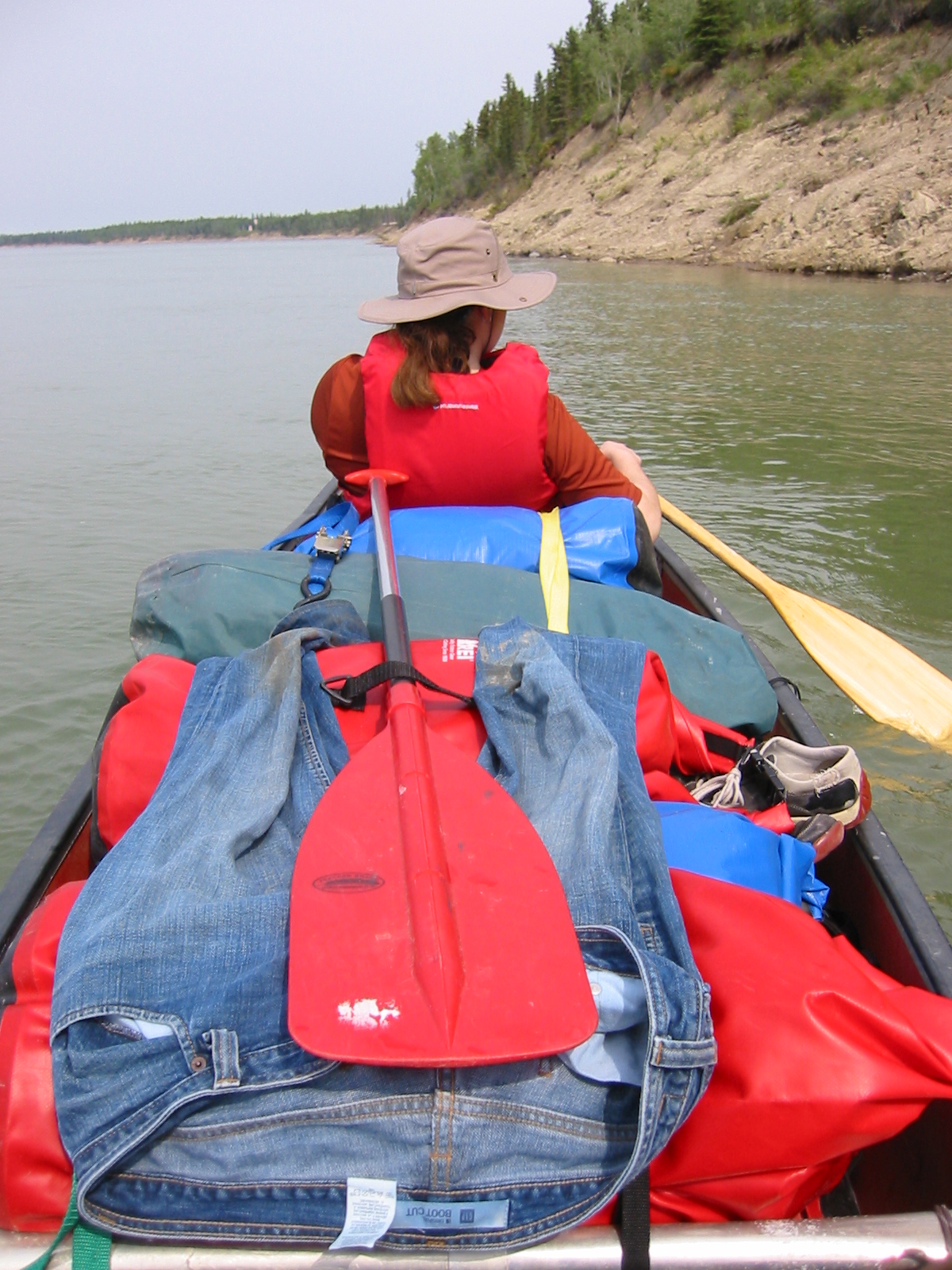
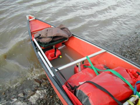
| 1185604087.JPG | 1185604087-pv.JPG | Canoe at a landing, showing final packing arrangement | mrd |
| 1185604112.JPG | 1185604112-pv.JPG | Canoe at a landing, showing final packing arrangement | mrd |
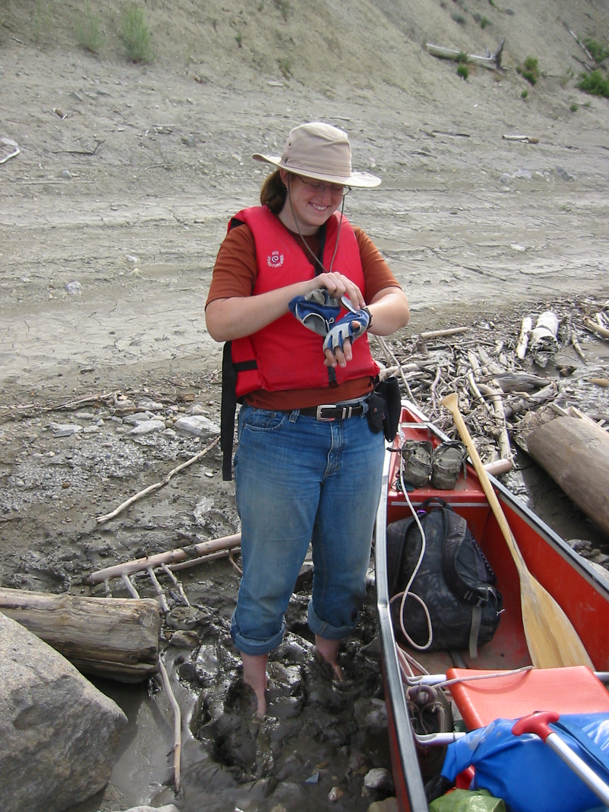
| 1185604152.JPG | 1185604152-pv.JPG | Ari standing in horrible sticky mud, preparing to launch | mrd |
| 1185604174.JPG | 1185604174-pv.JPG | Ari standing in horrible sticky mud | mrd |
| 1185604221.JPG | 1185604221-pv.JPG | Red splotches along the shore, day 21 | mrd |
| 1185604266.JPG | 1185604266-pv.JPG | Tent on a steeply inclined rocky campsite, day 21 | mrd |
| 1185604304.JPG | 1185604304-pv.JPG | Canoe seen from the tent, bathed literally in the midnight sun | mrd |
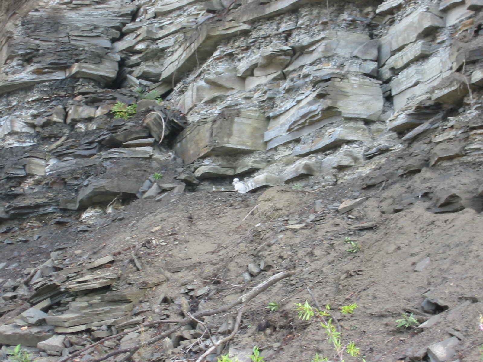
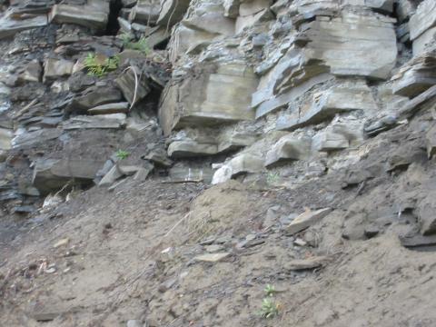
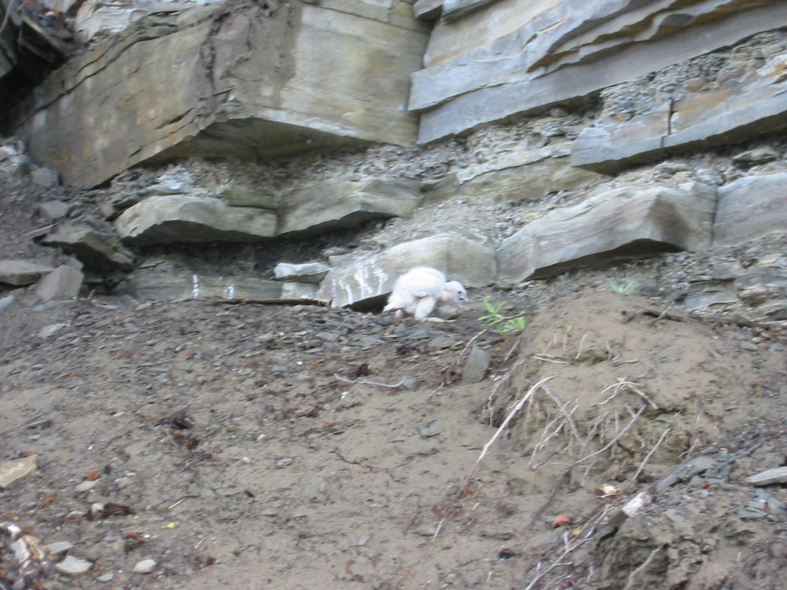
| 1185604344.JPG | 1185604344-pv.JPG | Creepy muppet fledgling bird in the cliffs above the day 23 camp | mrd |
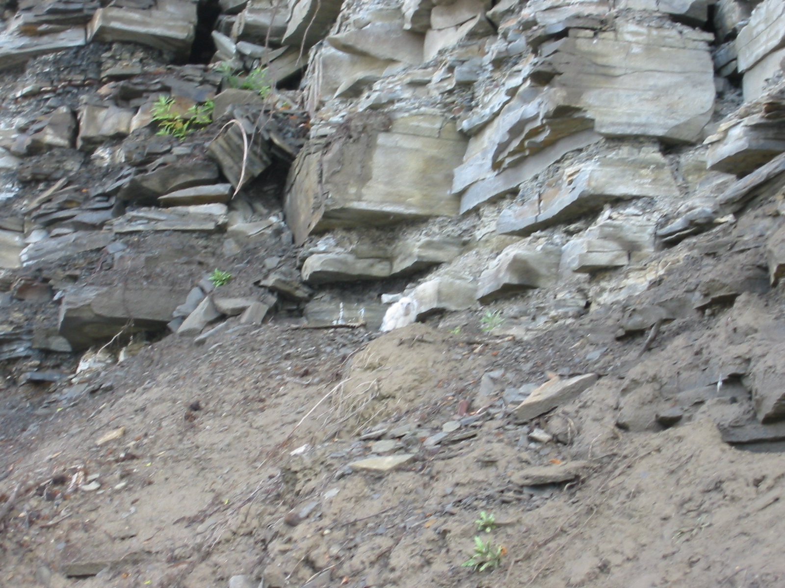
| 1185604362.JPG | 1185604362-pv.JPG | Creepy muppet fledgling bird in the cliffs above the day 23 camp | mrd |
| 1185604381.JPG | 1185604381-pv.JPG | Creepy muppet fledgling bird in the cliffs above the day 23 camp | mrd |
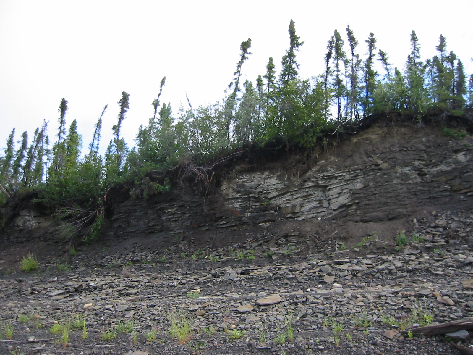
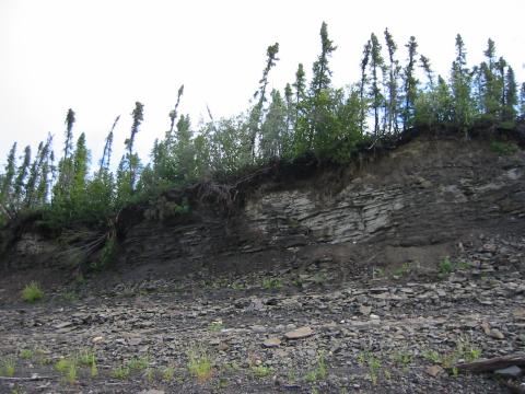
| 1185604424.JPG | 1185604424-pv.JPG | Day 23 campsite: crumbling cliffs, spooky looking trees, lots of runoff from the mad rain the night before | mrd |
| 1185604440.JPG | 1185604440-pv.JPG | Day 23 campsite: crumbling cliffs, spooky looking trees, lots of runoff from the mad rain the night before | mrd |
| 1185604457.JPG | 1185604457-pv.JPG | Day 23 campsite: crumbling cliffs, spooky looking trees, lots of runoff from the mad rain the night before | mrd |
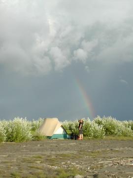
| 1185604489.JPG | 1185604489-pv.JPG | Rainbow behind the day 24 campsite | mrd |
| 1185604507.JPG | 1185604507-pv.JPG | Rainbow behind the day 24 campsite | mrd |
| 1185604549.JPG | 1185604549-pv.JPG | Rainbow behind the day 24 campsite. This rainbow stayed around for hours, becoming a complete arc at one point. | mrd |
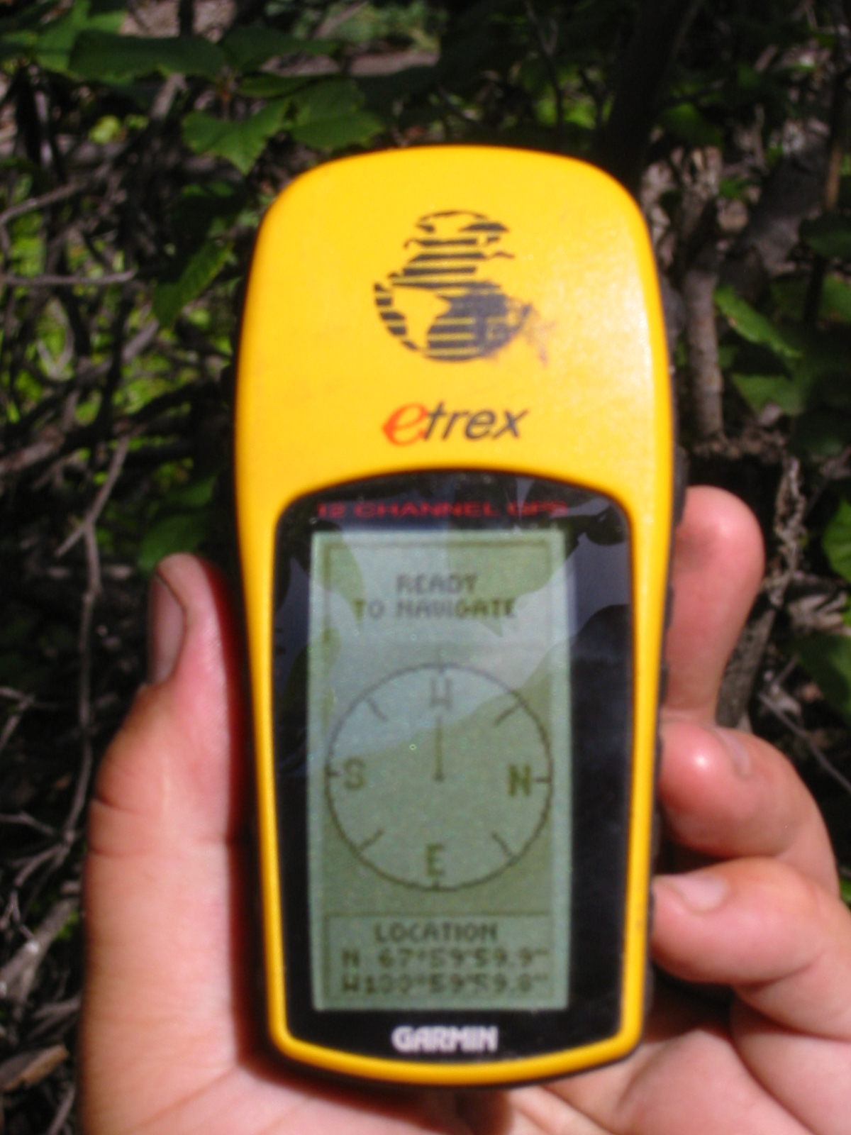
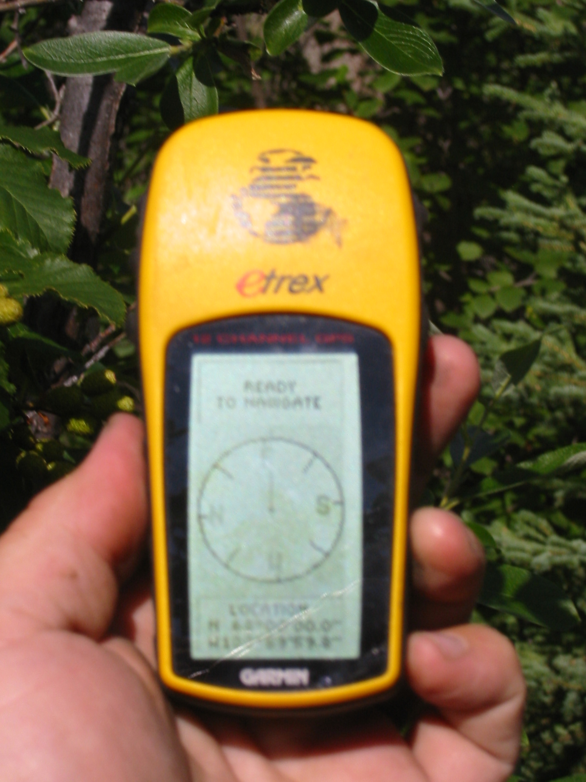
| 1185604595.JPG | 1185604595-pv.JPG | GPS at the N68 W134 confluence | mrd |
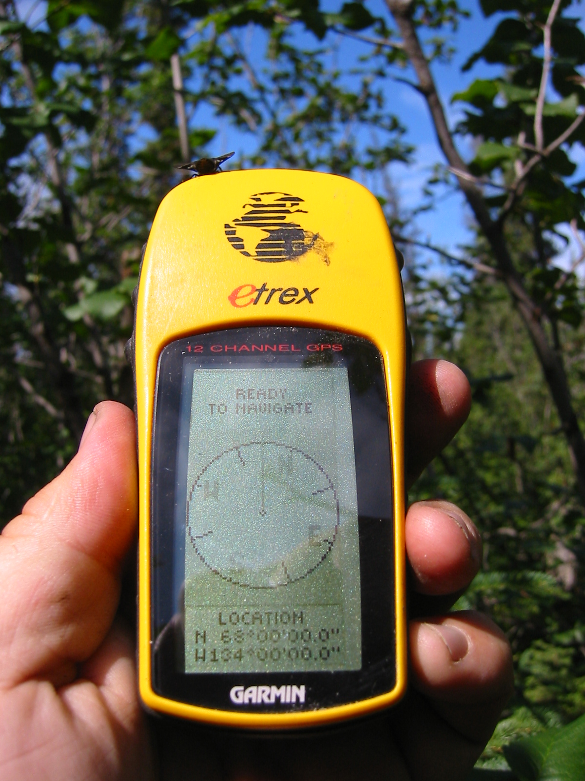
| 1185604630.JPG | 1185604630-pv.JPG | GPS at the N68 W134 confluence (somewhat blurry, all zeroes) | mrd |
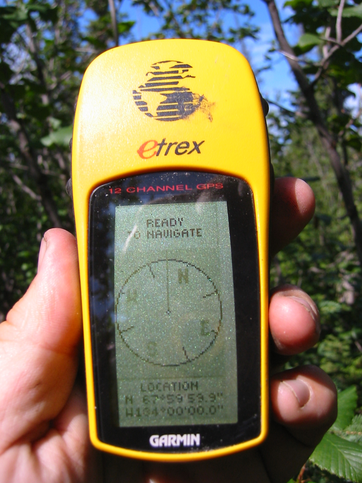
| 1185604674.JPG | 1185604674-pv.JPG | GPS at the N68 W134 confluence (less blurry, .9 and .8) | mrd |
| 1185604698.JPG | 1185604698-pv.JPG | GPS at the N68 W134 confluence | mrd |
| 1185604724.JPG | 1185604724-pv.JPG | GPS at the N68 W134 confluence | mrd |
| 1185604751.JPG | 1185604751-pv.JPG | GPS at the N68 W134 confluence | mrd |
| 1185604783.JPG | 1185604783-pv.JPG | GPS at the N68 W134 confluence (perfect) | mrd |
| 1185604943.JPG | 1185604943-pv.JPG | GPS at the N68 W134 confluence (almost perfect) | mrd |
| 1185605030.JPG | 1185605030-pv.JPG | N68 W134 confluence: north view | mrd |
| 1185605054.JPG | 1185605054-pv.JPG | N68 W134 confluence: east view | mrd |
| 1185605081.JPG | 1185605081-pv.JPG | N68 W134 confluence: south view | mrd |
| 1185605113.JPG | 1185605113-pv.JPG | N68 W134 confluence: west view | mrd |
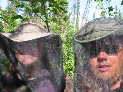
| 1185605154.JPG | 1185605154-pv.JPG | Ari and Fish in full netting at the N68 W134 confluence | mrd |
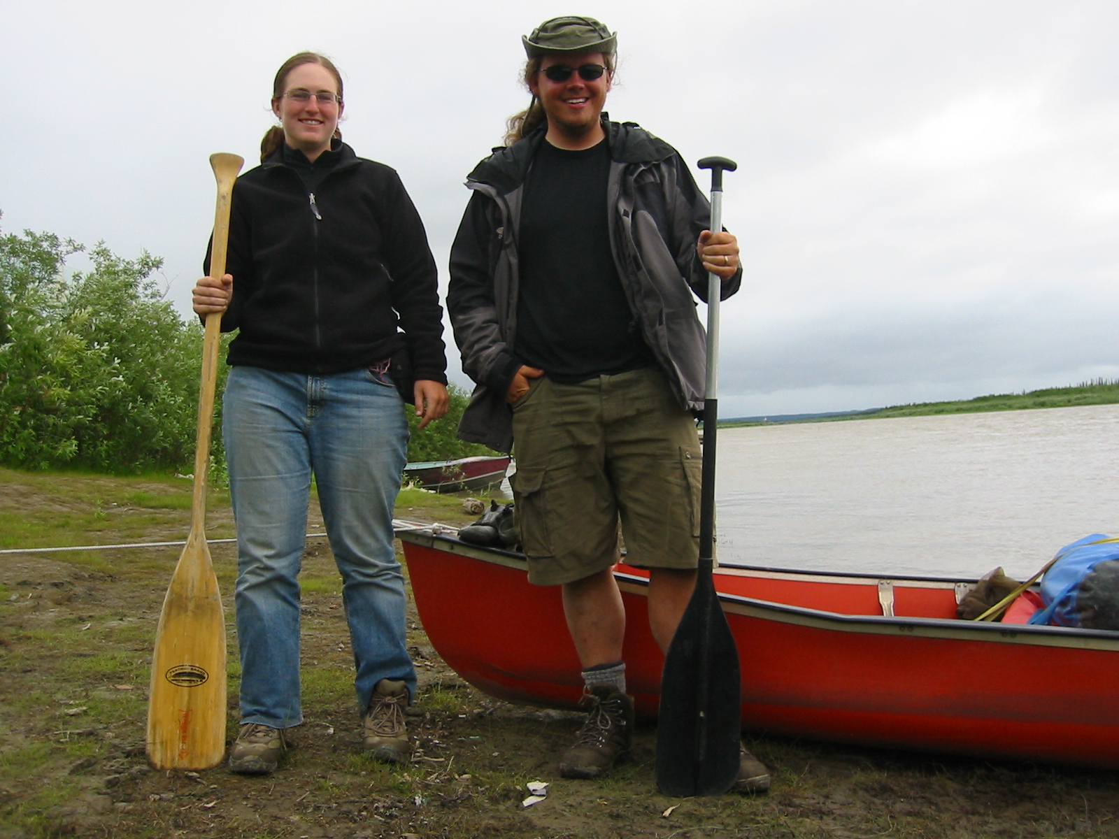
| 1185605200.JPG | 1185605200-pv.JPG | Ari and Fish standing with paddles next to the canoe in Inuvik | mrd |
| 1185605235.JPG | 1185605235-pv.JPG | Inuvik (including a utilidor) as seen from room at the Mackenzie Hotel | mrd |
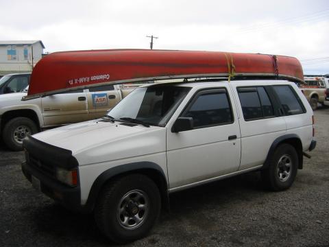
| 1185605287.JPG | 1185605287-pv.JPG | Canoe mounted on the Pathfinder, in the hotel parking lot | mrd |
| 1185605336.JPG | 1185605336-pv.JPG | Canoe on the ground after being sold to the Boreal Books family | mrd |
| 1185605368.JPG | 1185605368-pv.JPG | Canoe on the ground after being sold to the Boreal Books family | mrd |
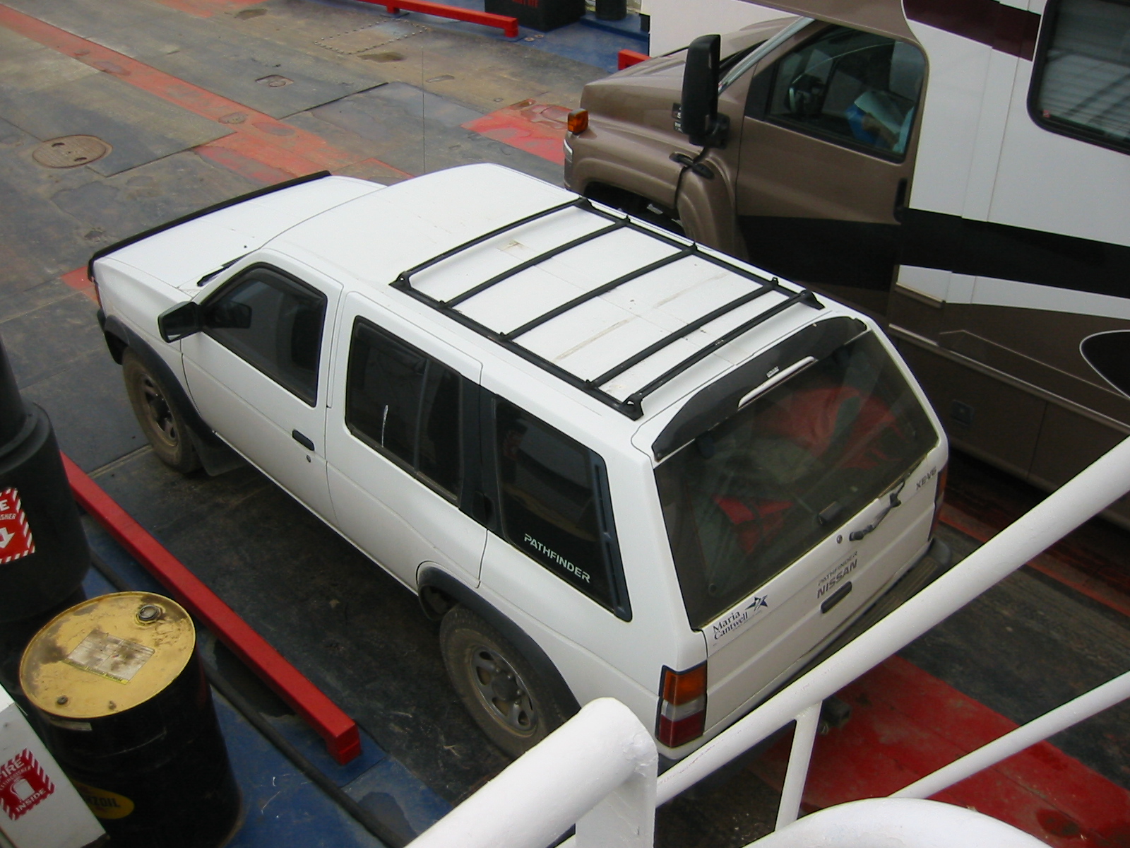
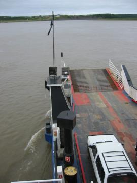
| 1185605406.JPG | 1185605406-pv.JPG | Pathfinder on the short ferry ride across the Mackenzie | mrd |
| 1185605506.JPG | 1185605506-pv.JPG | Pathfinder on the short ferry ride across the Mackenzie | mrd |
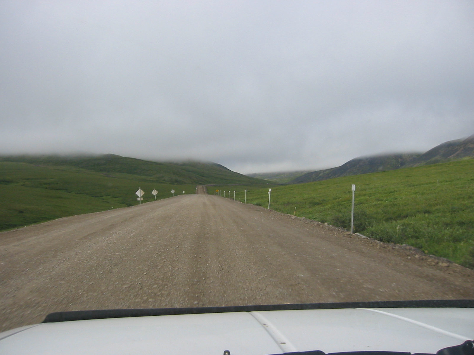
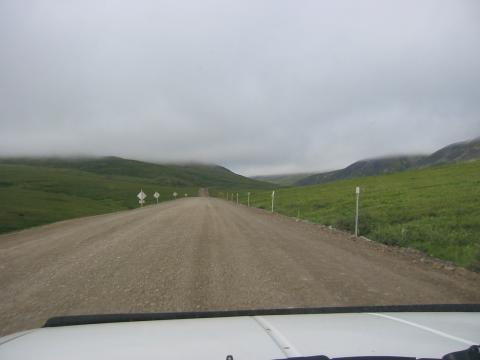
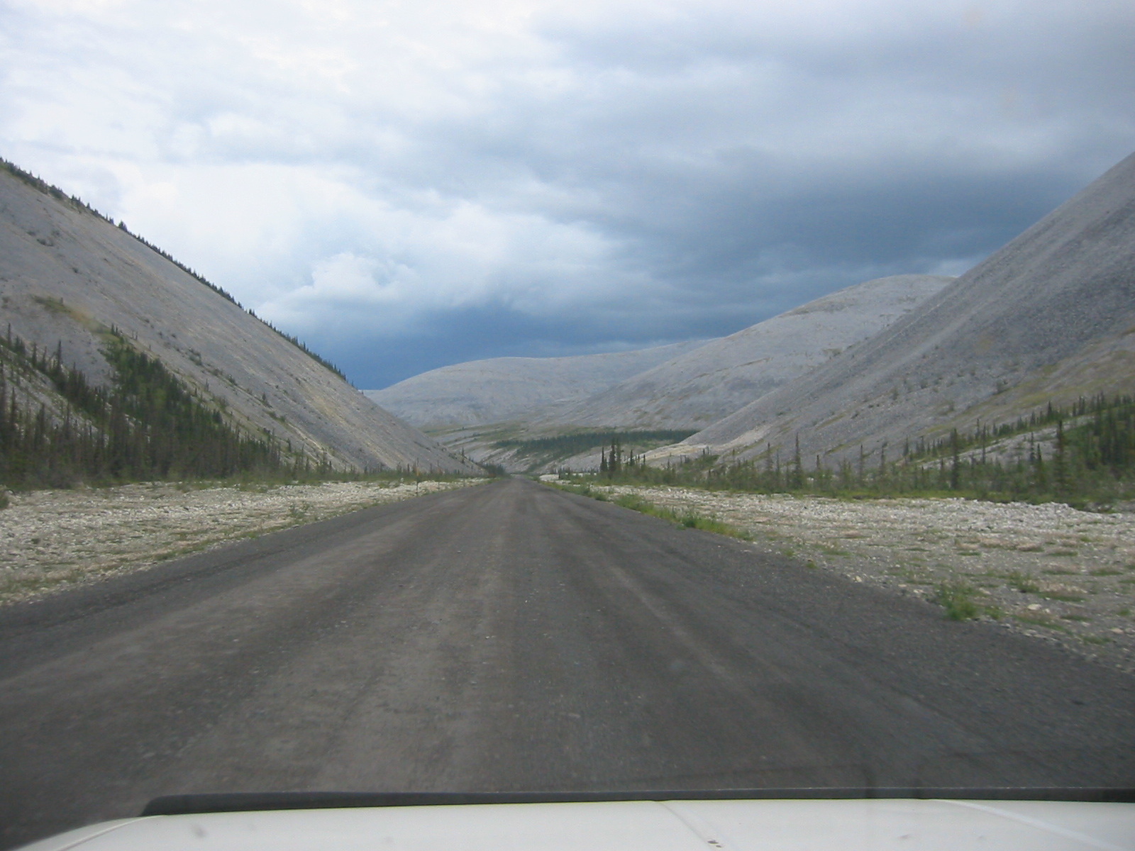
| 1185605582.JPG | 1185605582-pv.JPG | Roadshot of the Dempster up in misty highlands | mrd |
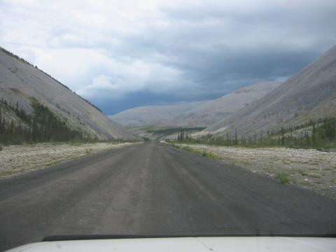
| 1185605614.JPG | 1185605614-pv.JPG | Roadshot of the Dempster up in the highlands | mrd |
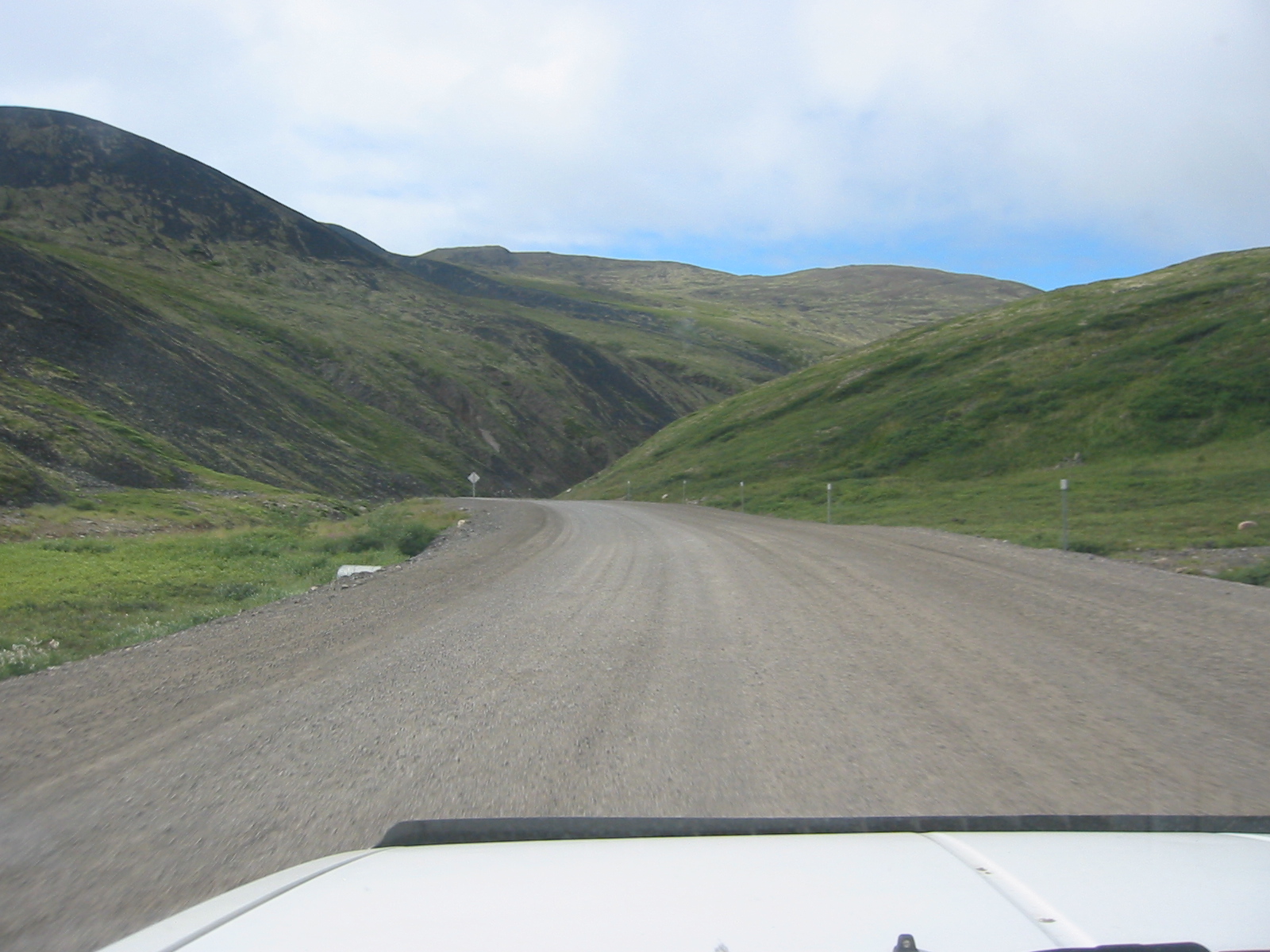
| 1185605685.JPG | 1185605685-pv.JPG | Roadshot off the Dempster | mrd |
| 1185605709.JPG | 1185605709-pv.JPG | Roadshot on the Dempster | mrd |
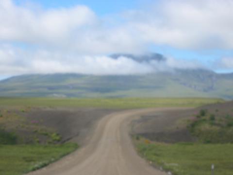
| 1185605739.JPG | 1185605739-pv.JPG | Arctic Circle marker on the Dempster | mrd |
| 1185605768.JPG | 1185605768-pv.JPG | Jason, our hitchhiker, at the arctic circle stop | mrd |
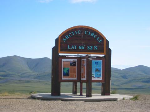
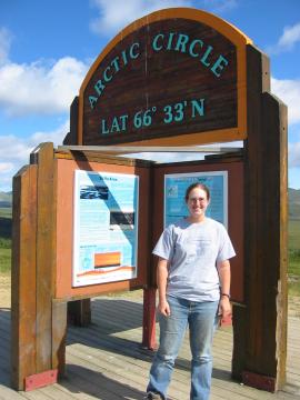
| 1185605797.JPG | 1185605797-pv.JPG | Ari in front of the arctic circle marker | mrd |
| 1185605835.JPG | 1185605835-pv.JPG | Whirlwind at the arctic circle marker | mrd |
| 1185605853.JPG | 1185605853-pv.JPG | Whirlwind at the arctic circle marker | mrd |
| 1185605889.JPG | 1185605889-pv.JPG | Scraggly trees and mountain off the Dempster | mrd |
| 1185605923.JPG | 1185605923-pv.JPG | Mountain valleys on the Dempster | mrd |
| 1185605952.JPG | 1185605952-pv.JPG | Frozen lake along the Dempster, July 22 | mrd |
| 1185606108.JPG | 1185606108-pv.JPG | Frozen lake along the Dempster, July 22 | mrd |
| 1185606138.JPG | 1185606138-pv.JPG | The Pathfinder after 6+ hours on the Dempster | mrd |
| 1185606155.JPG | 1185606155-pv.JPG | The Pathfinder after 6+ hours on the Dempster | mrd |
| 1185606183.JPG | 1185606183-pv.JPG | Mountains along the Dempster | mrd |
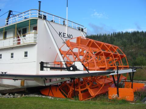
| 1185606206.JPG | 1185606206-pv.JPG | SS Keno in Dawson City | mrd |
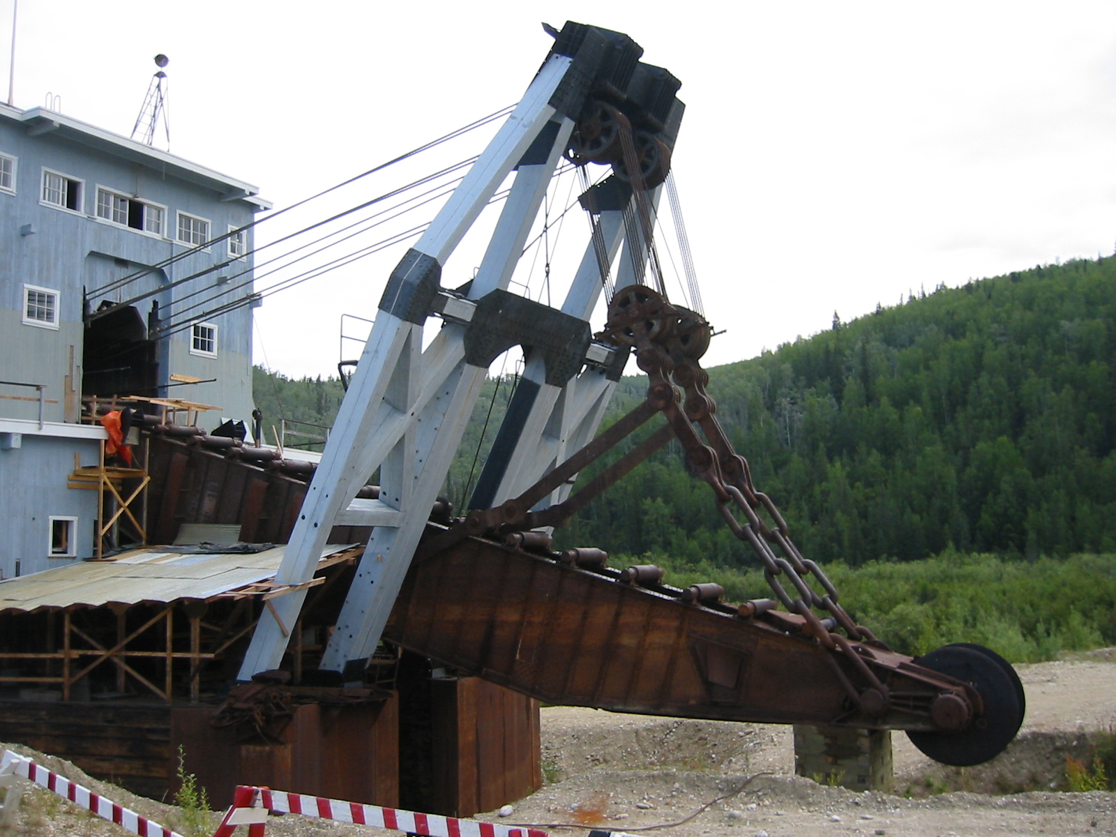
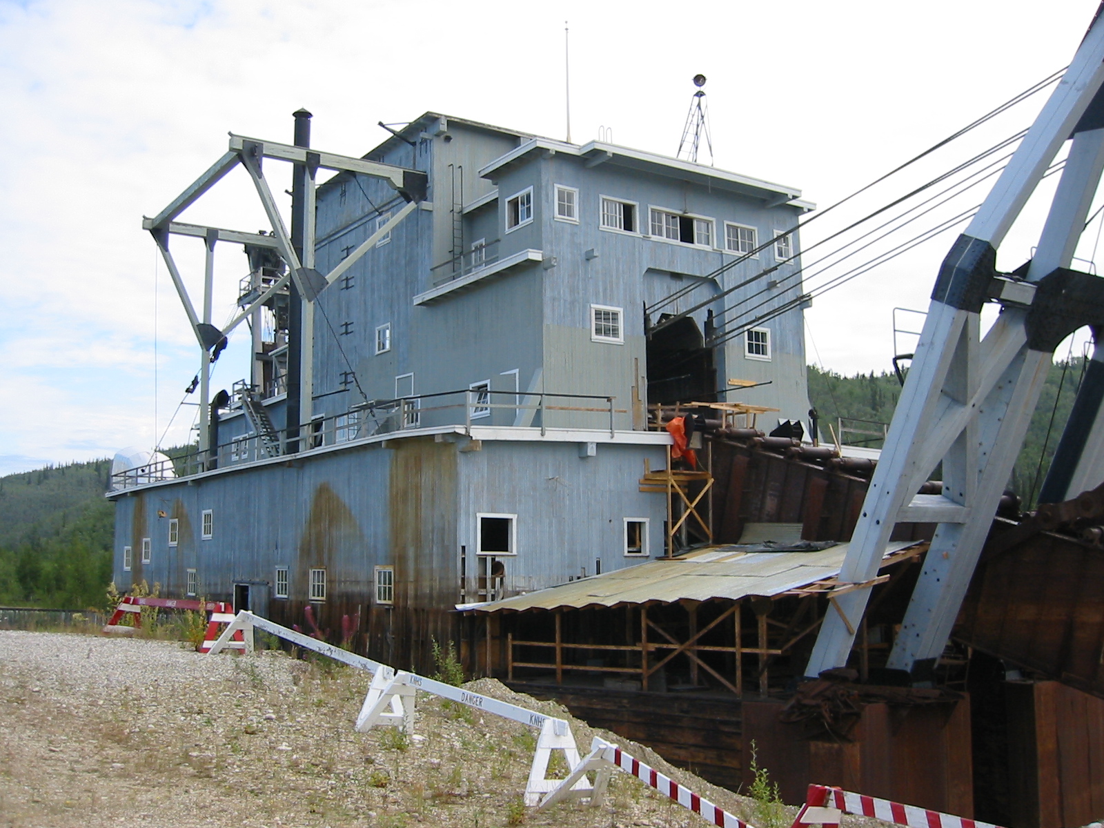
| 1185606233.JPG | 1185606233-pv.JPG | Dredge #4 outside Dawson City | mrd |
| 1185606247.JPG | 1185606247-pv.JPG | Dredge #4 outside Dawson City | mrd |
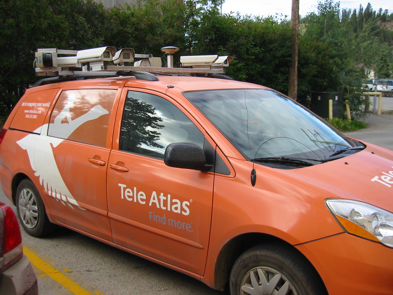
| 1185606288.JPG | 1185606288-pv.JPG | TeleAtlas road imaging car parked behind the hotel in Whitehorse | mrd |
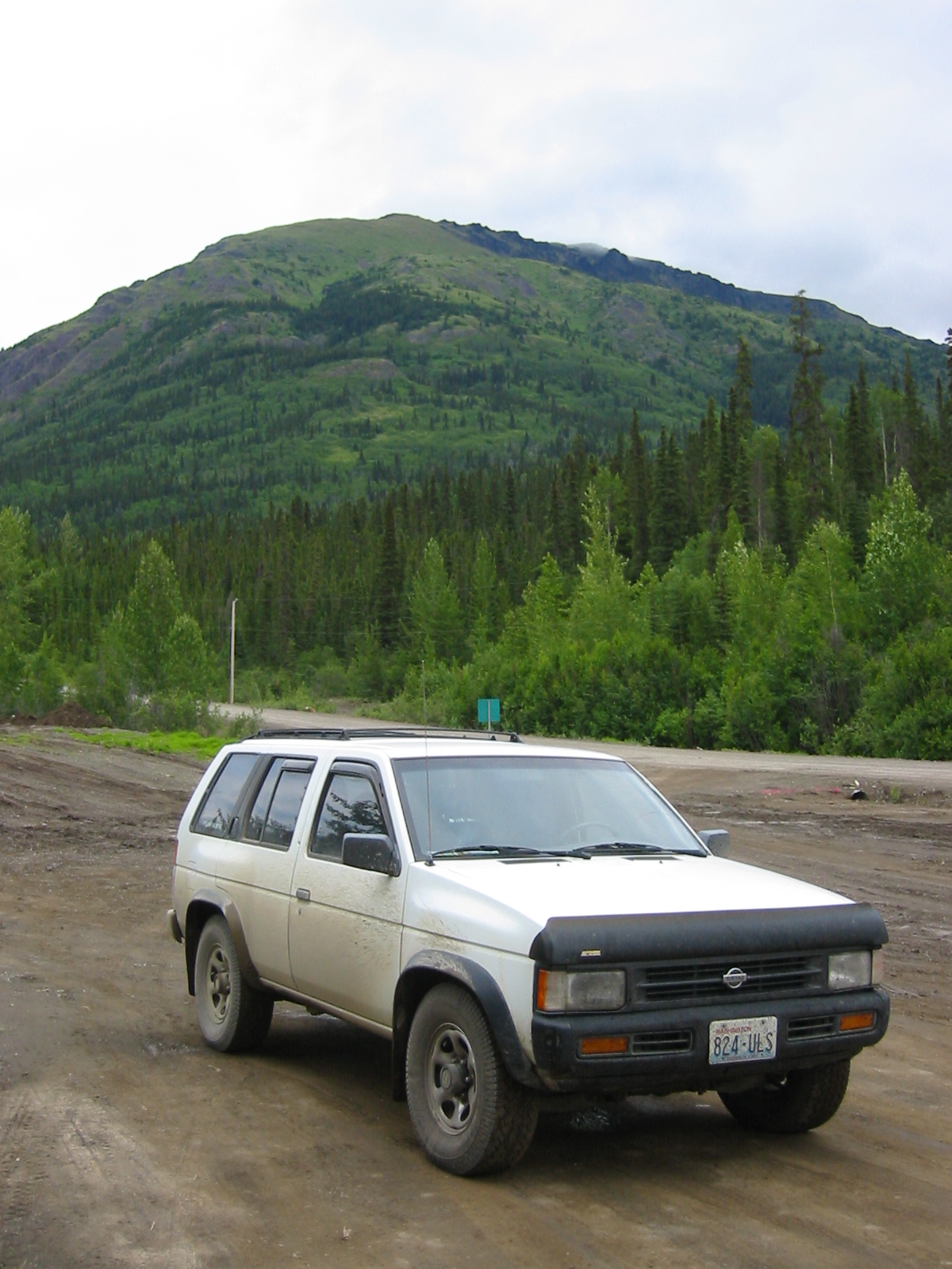
| 1185606361.JPG | 1185606361-pv.JPG | Pathfinder parked along the Cassiar | mrd |
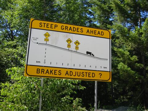
| 1185606420.JPG | 1185606420-pv.JPG | Sign on highway 99 behind Whistler: Steep curves ahead / Brakes adjusted? | mrd |
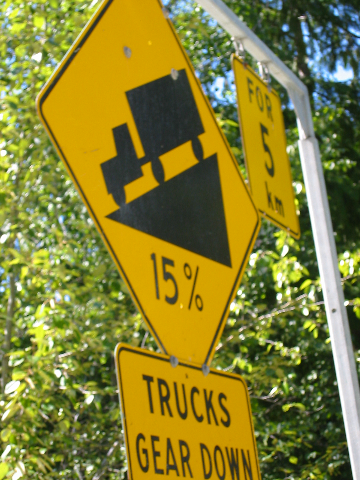
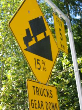
| 1185606460.JPG | 1185606460-pv.JPG | 15% grade sign on highway 99 behind Whistler | mrd |
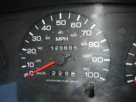
| 1185606494.JPG | 1185606494-pv.JPG | Odometer after the trip: 125665 | mrd |
| 1185606523.JPG | 1185606523-pv.JPG | Panorama at day 9 campsite | mrd |
| 1185606536.JPG | 1185606536-pv.JPG | Panorama at day 9 campsite | mrd |
| 1185606550.JPG | 1185606550-pv.JPG | Panorama at day 9 campsite | mrd |
| 1185606563.JPG | 1185606563-pv.JPG | Panorama at day 9 campsite | mrd |
| 1185606577.JPG | 1185606577-pv.JPG | Panorama at day 9 campsite | mrd |
| 1185606592.JPG | 1185606592-pv.JPG | Panorama at day 9 campsite | mrd |
| 1185606606.JPG | 1185606606-pv.JPG | Panorama at day 9 campsite | mrd |
| 1185606618.JPG | 1185606618-pv.JPG | Panorama at day 9 campsite | mrd |
| 1185831138.jpg | 1185831138-pv.jpg | Pathfinder loaded with gear and canoe | mrd |
| 1185831218.jpg | 1185831218-pv.jpg | Fish and Ari in front of the fully loaded Pathfinder | mrd |
| 1185831238.jpg | 1185831238-pv.jpg | Fish and Ari in front of the fully loaded Pathfinder | mrd |
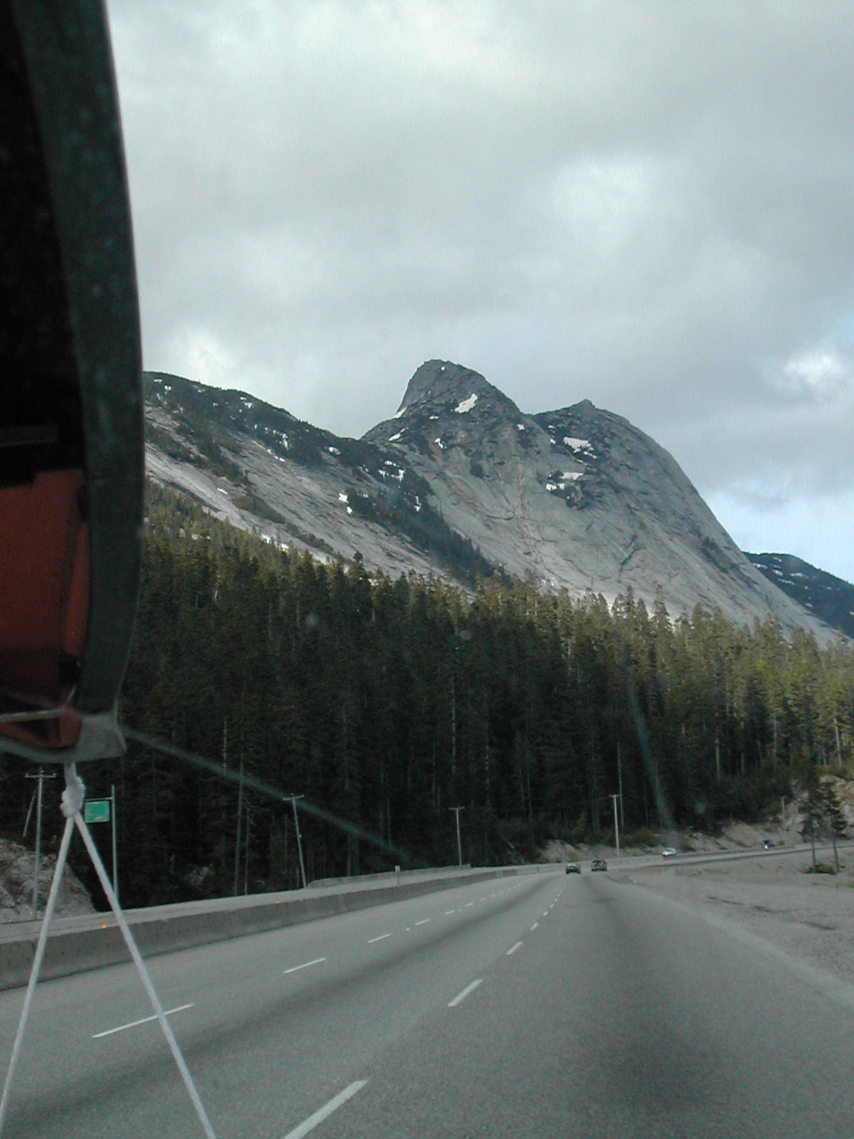
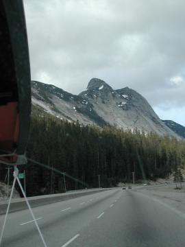
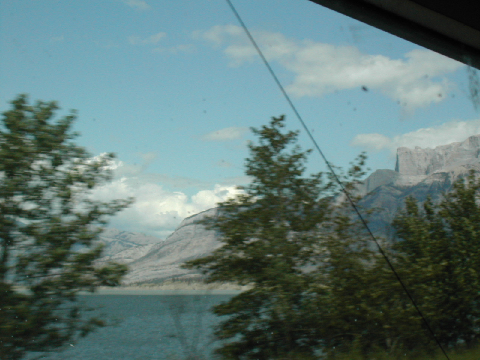
| 1185831351.jpg | 1185831351-pv.jpg | Roadshot of mountains in BC | mrd |
| 1185831372.jpg | 1185831372-pv.jpg | Roadshot of mountains in BC | mrd |
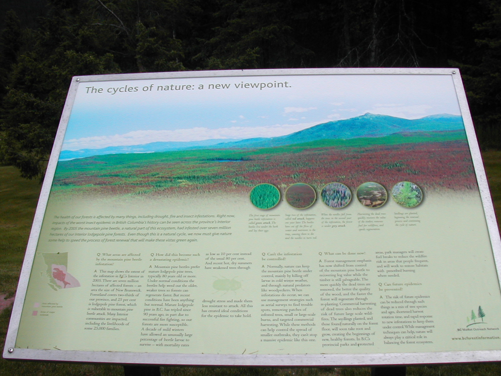
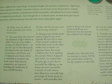
| 1185831494.jpg | 1185831494-pv.jpg | Informational sign about pine beetles at BC reststop | mrd |
| 1185831508.jpg | 1185831508-pv.jpg | Informational sign about pine beetles at BC reststop | mrd |
| 1185831573.jpg | 1185831573-pv.jpg | Mount Robson | mrd |
| 1185831596.jpg | 1185831596-pv.jpg | Mount Robson | mrd |
| 1185831651.jpg | 1185831651-pv.jpg | Fish next to Pathfinder in parking lot at BC reststop | mrd |
| 1185831715.jpg | 1185831715-pv.jpg | Mount Robson roadshot | mrd |
| 1185831800.jpg | 1185831800-pv.jpg | Roadshot of mountains | mrd |
| 1185831825.jpg | 1185831825-pv.jpg | Mountains in Jasper | mrd |
| 1185831852.jpg | 1185831852-pv.jpg | Roadshot of mountains in Jasper | mrd |
| 1185832106.jpg | 1185832106-pv.jpg | Roadshot of mountains in Jasper | mrd |
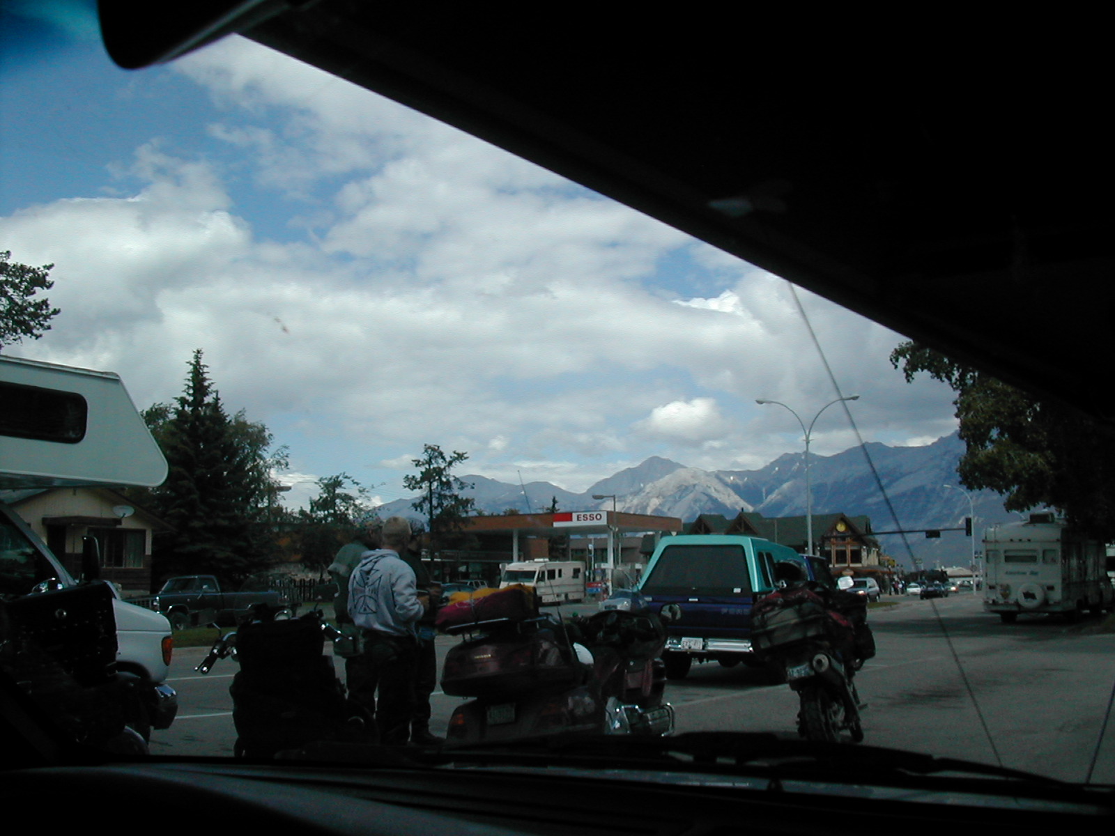
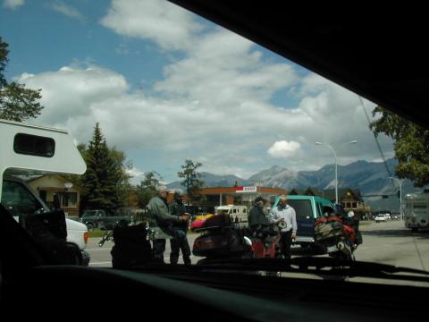
| 1185832139.jpg | 1185832139-pv.jpg | Motorcycles filling up in Jasper | mrd |
| 1185832175.jpg | 1185832175-pv.jpg | Motorcycles filling up in Jasper | mrd |
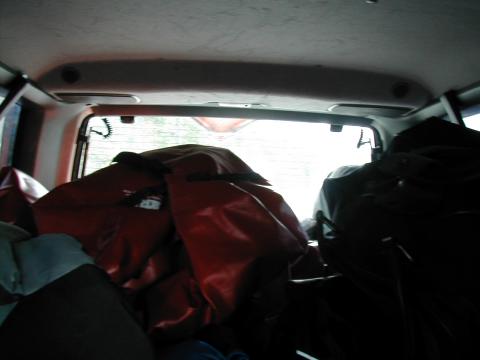
| 1185832281.jpg | 1185832281-pv.jpg | Back of the truck loaded with gear | mrd |
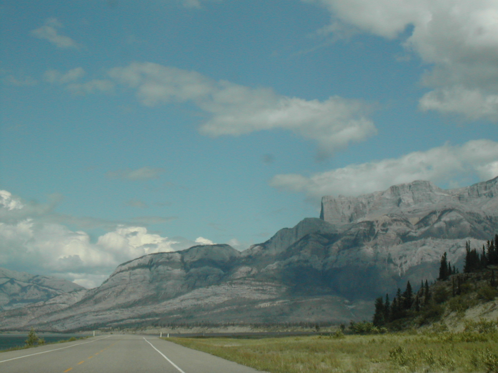
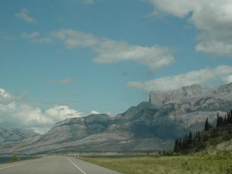
| 1185832300.jpg | 1185832300-pv.jpg | Mountains in Jasper | mrd |
| 1185832317.jpg | 1185832317-pv.jpg | Mountains in Jasper | mrd |
| 1185832341.jpg | 1185832341-pv.jpg | Mountains in Jasper | mrd |
| 1185832357.jpg | 1185832357-pv.jpg | Mountains in Jasper | mrd |
| 1185832555.jpg | 1185832555-pv.jpg | Roadshot approaching Alberta town | mrd |
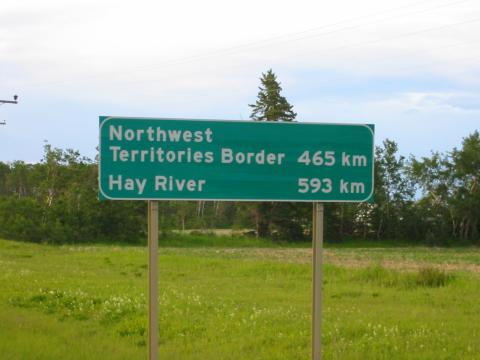
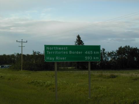
| 1185832602.jpg | 1185832602-pv.jpg | Northwest Territories Border 465 km, Hay River 593 km | mrd |
| 1185832617.jpg | 1185832617-pv.jpg | Northwest Territories Border 465 km, Hay River 593 km | mrd |
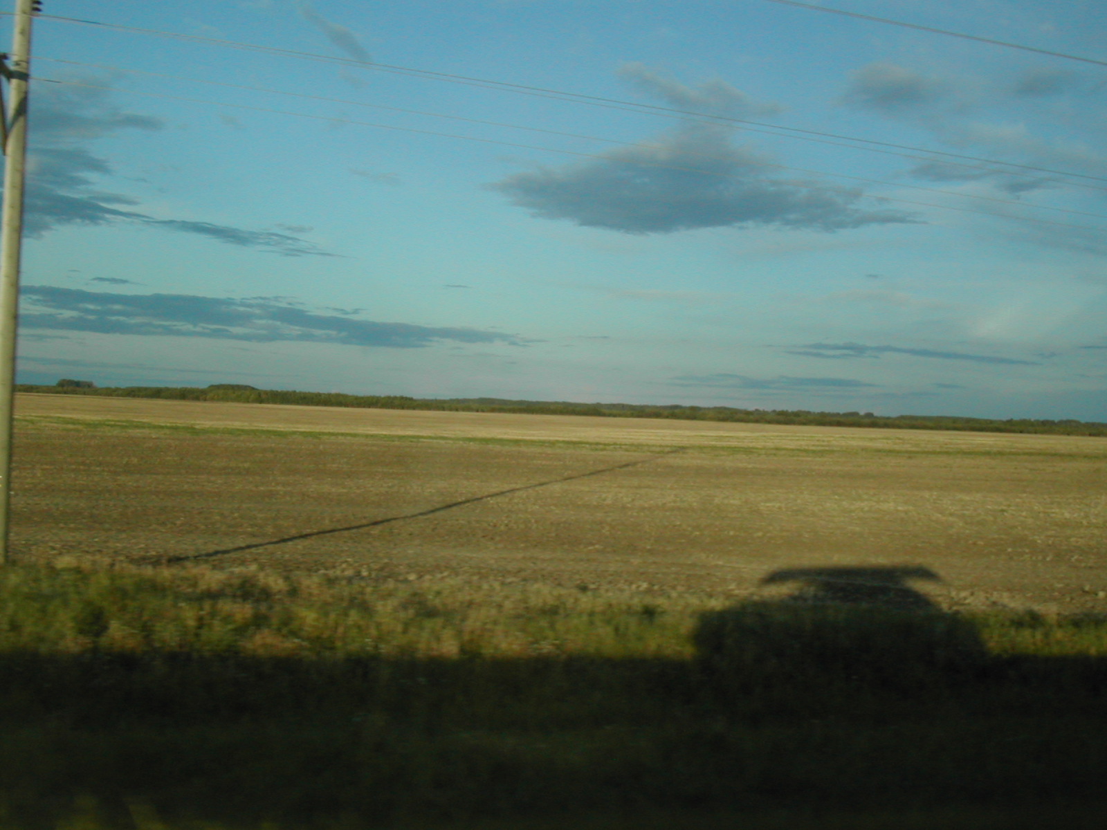
| 1185832654.jpg | 1185832654-pv.jpg | Pathfinder's shadow in northern Alberta | mrd |
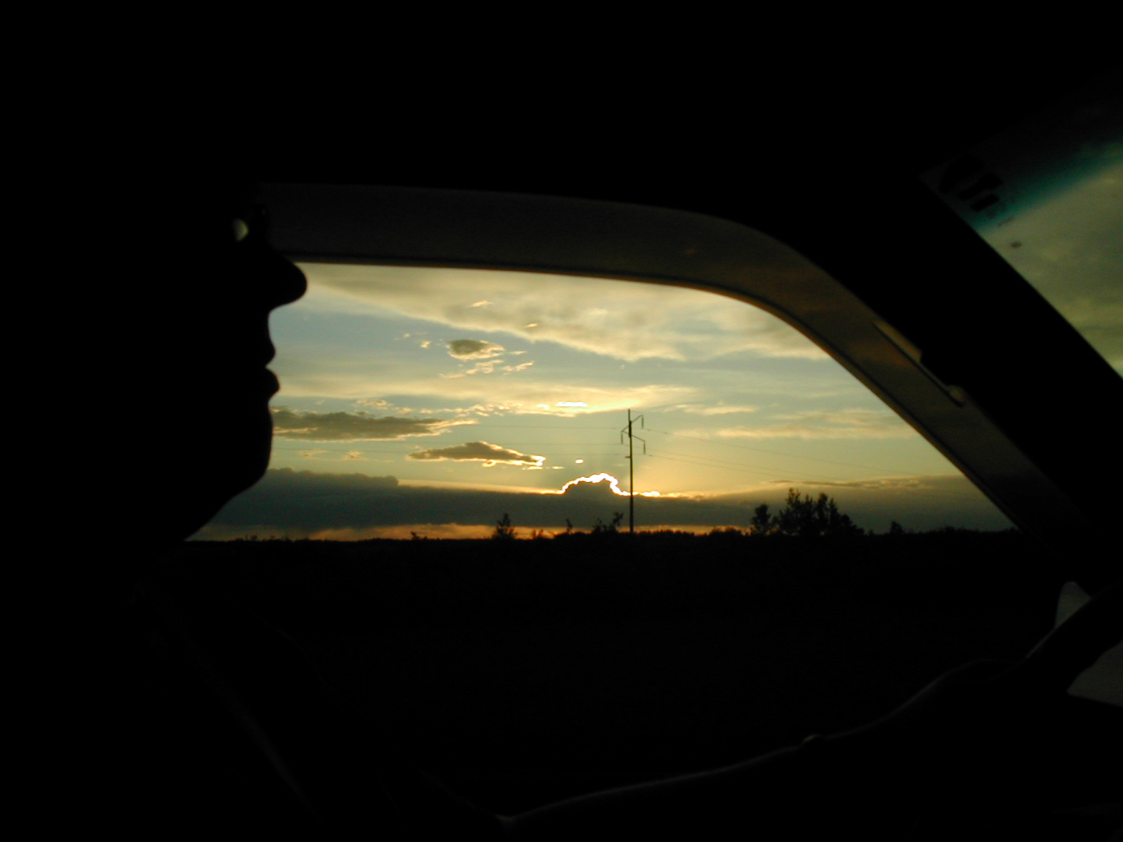
| 1185832763.jpg | 1185832763-pv.jpg | Fish's silouette against setting sun | mrd |
| 1185832786.jpg | 1185832786-pv.jpg | Welcome to Hay River sign | mrd |
| 1185832836.jpg | 1185832836-pv.jpg | Welcome to Hay River sign | mrd |
| 1185832856.jpg | 1185832856-pv.jpg | Sun rising above Hay River | mrd |
| 1185832892.jpg | 1185832892-pv.jpg | Ugly purple concrete school in Hay River | mrd |
| 1185832942.jpg | 1185832942-pv.jpg | Sunrise over Great Slave Lake | mrd |
| 1185832979.jpg | 1185832979-pv.jpg | First glimpse of the sun in Hay River | mrd |
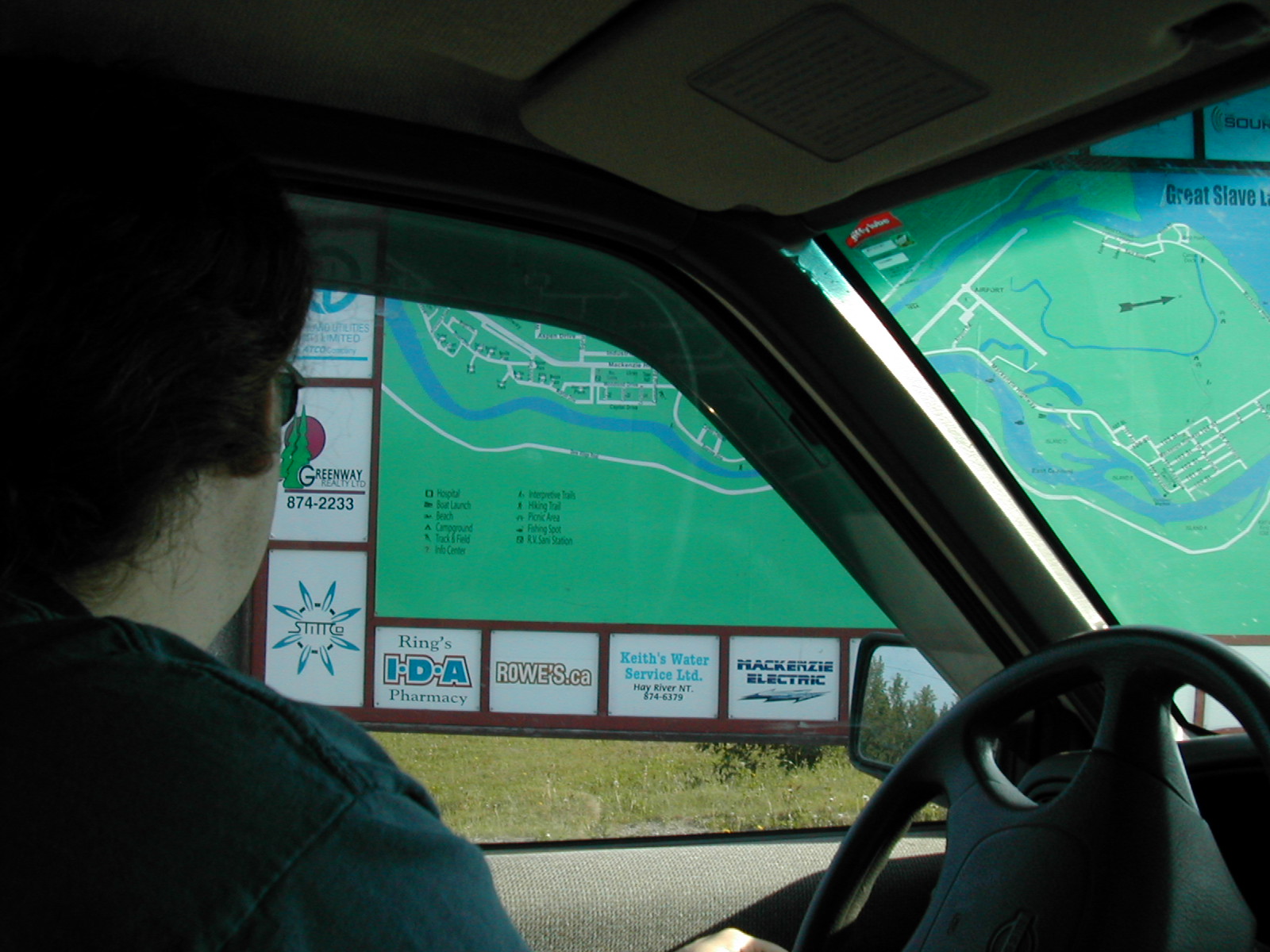
| 1185833015.jpg | 1185833015-pv.jpg | Fish looking at map of Hay River | mrd |
| 1185833032.jpg | 1185833032-pv.jpg | Map of Hay River | mrd |
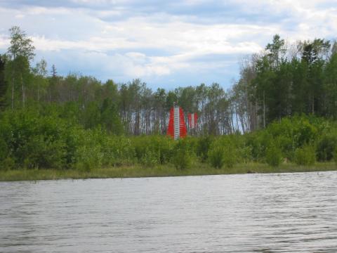
| 1185833048.jpg | 1185833048-pv.jpg | VOR antenna in Hay River | mrd |
| 1185833077.jpg | 1185833077-pv.jpg | VOR antenna in Hay River, warning signs | mrd |
| 1185833121.jpg | 1185833121-pv.jpg | Fish and Doug in front of canoe gear at Dory Point | mrd |
| 1185833142.jpg | 1185833142-pv.jpg | Fish and Doug in front of canoe gear at Dory Point | mrd |
| 1185833171.jpg | 1185833171-pv.jpg | Fish, Ari and Doug in front of canoe gear at Dory Point | mrd |
| 1185833217.jpg | 1185833217-pv.jpg | Layer of dead mosquitos inside the canoe | mrd |
| 1185833300.jpg | 1185833300-pv.jpg | Dory Point campground | mrd |
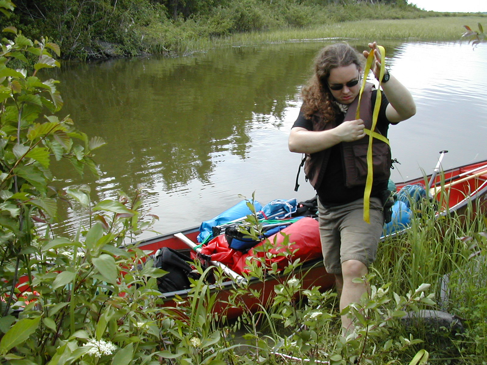
| 1185833328.jpg | 1185833328-pv.jpg | Fish futzing with straps while loading the canoe | mrd |
| 1185833356.jpg | 1185833356-pv.jpg | Gear being loaded into the canoe | mrd |
| 1185833379.jpg | 1185833379-pv.jpg | Gear being loaded into the canoe | mrd |
| 1185833402.jpg | 1185833402-pv.jpg | Gear being loaded into the canoe | mrd |
| 1185833428.jpg | 1185833428-pv.jpg | Ari loading gear into the canoe | mrd |
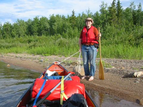
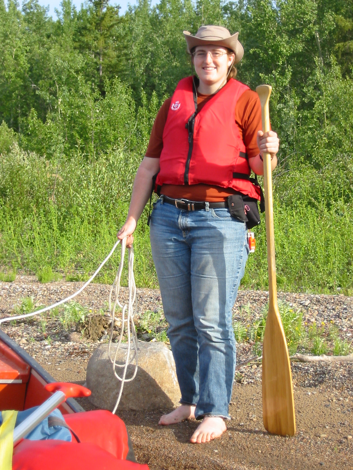
| 1185833457.jpg | 1185833457-pv.jpg | Ari holding the painter of the loaded canoe | mrd |
| 1185833484.jpg | 1185833484-pv.jpg | Ari holding the painter of the loaded canoe | mrd |
| 1185833511.jpg | 1185833511-pv.jpg | Dory Point ferry, seen from the water | mrd |
| 1185833569.jpg | 1185833569-pv.jpg | Canoe landed at Gravel Island | mrd |
| 1185833588.jpg | 1185833588-pv.jpg | Canoe landed at Gravel Island | mrd |
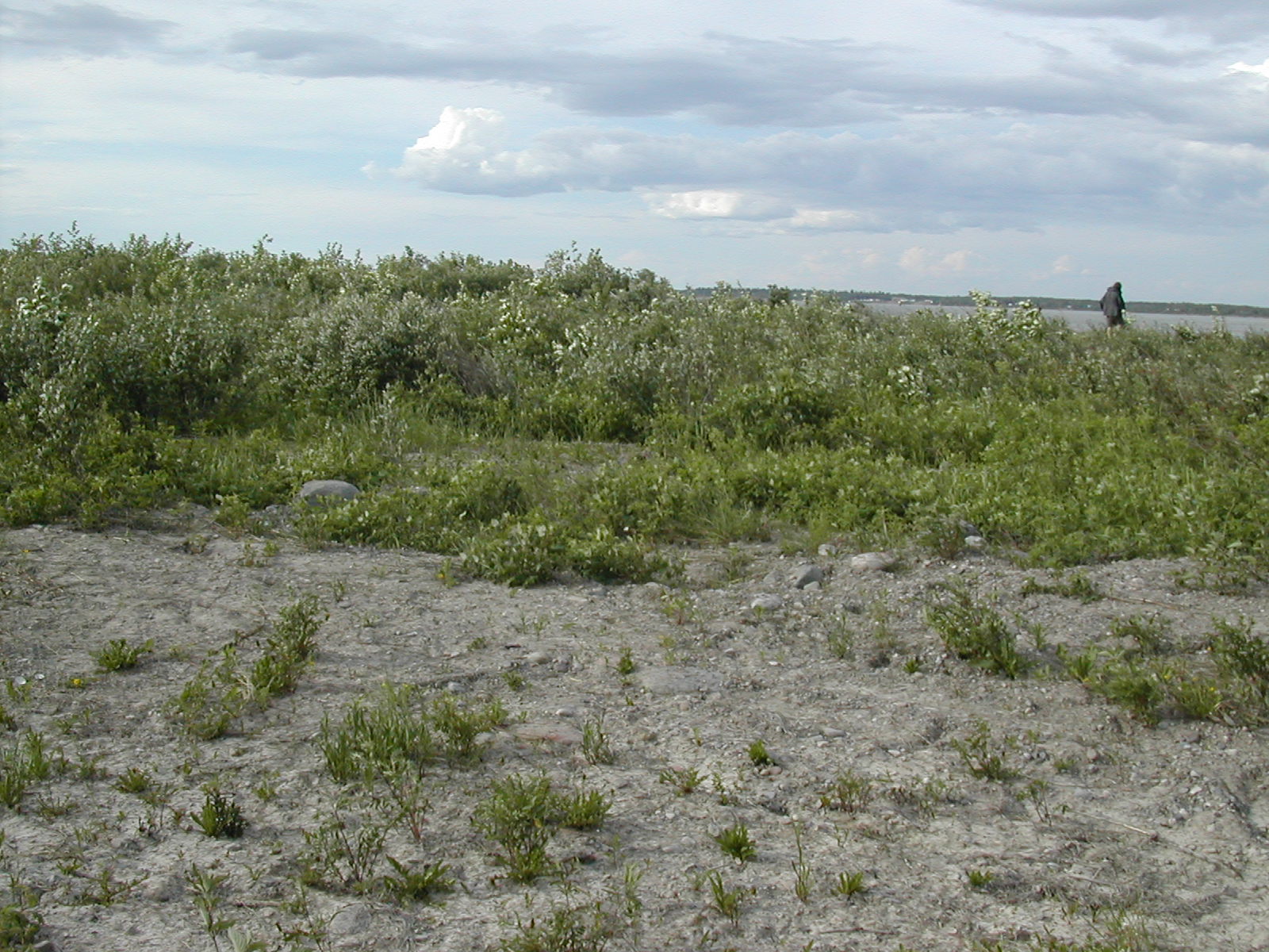
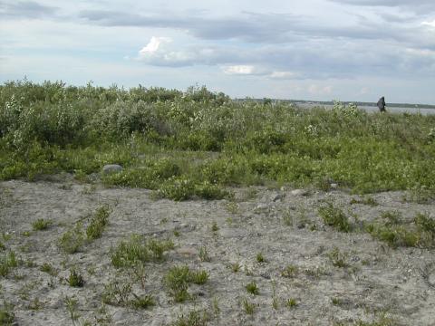
| 1185833604.jpg | 1185833604-pv.jpg | Gravel Island | mrd |
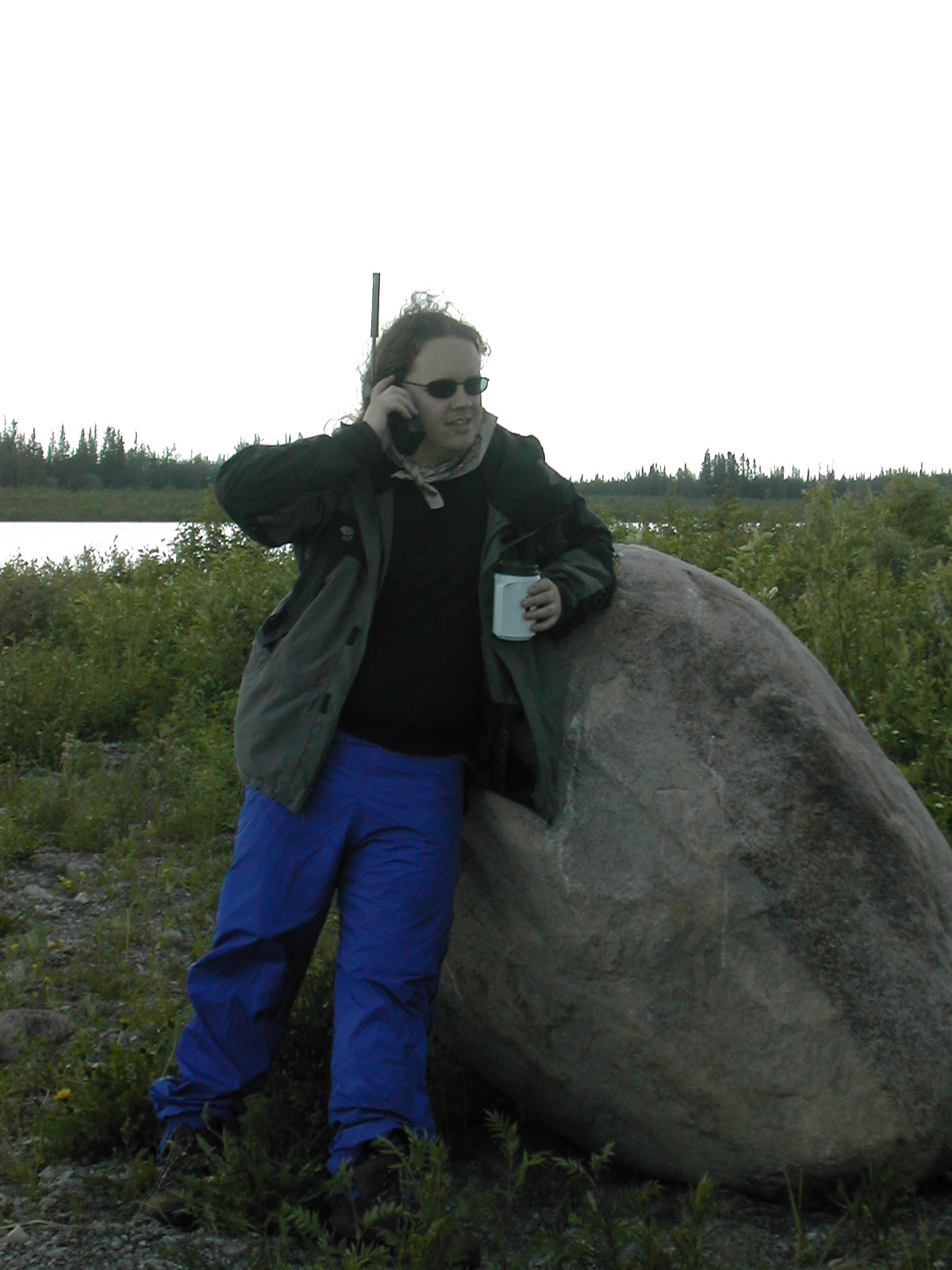
| 1185833662.jpg | 1185833662-pv.jpg | Fish, sipping tea, on the satellite phone at Gravel Island | mrd |
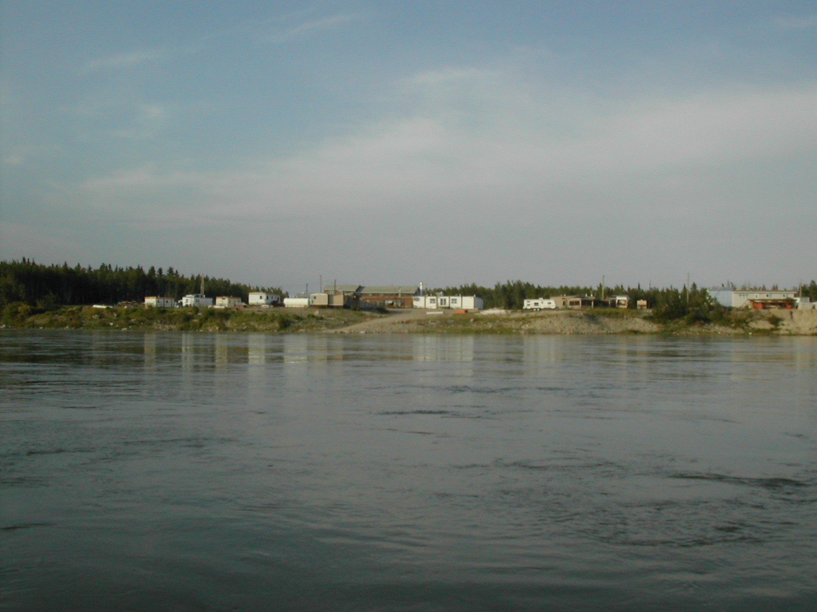
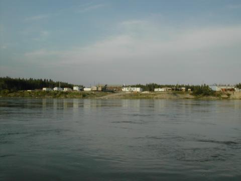
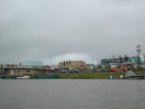
| 1185833731.jpg | 1185833731-pv.jpg | Group of buildings near Fort Providence | mrd |
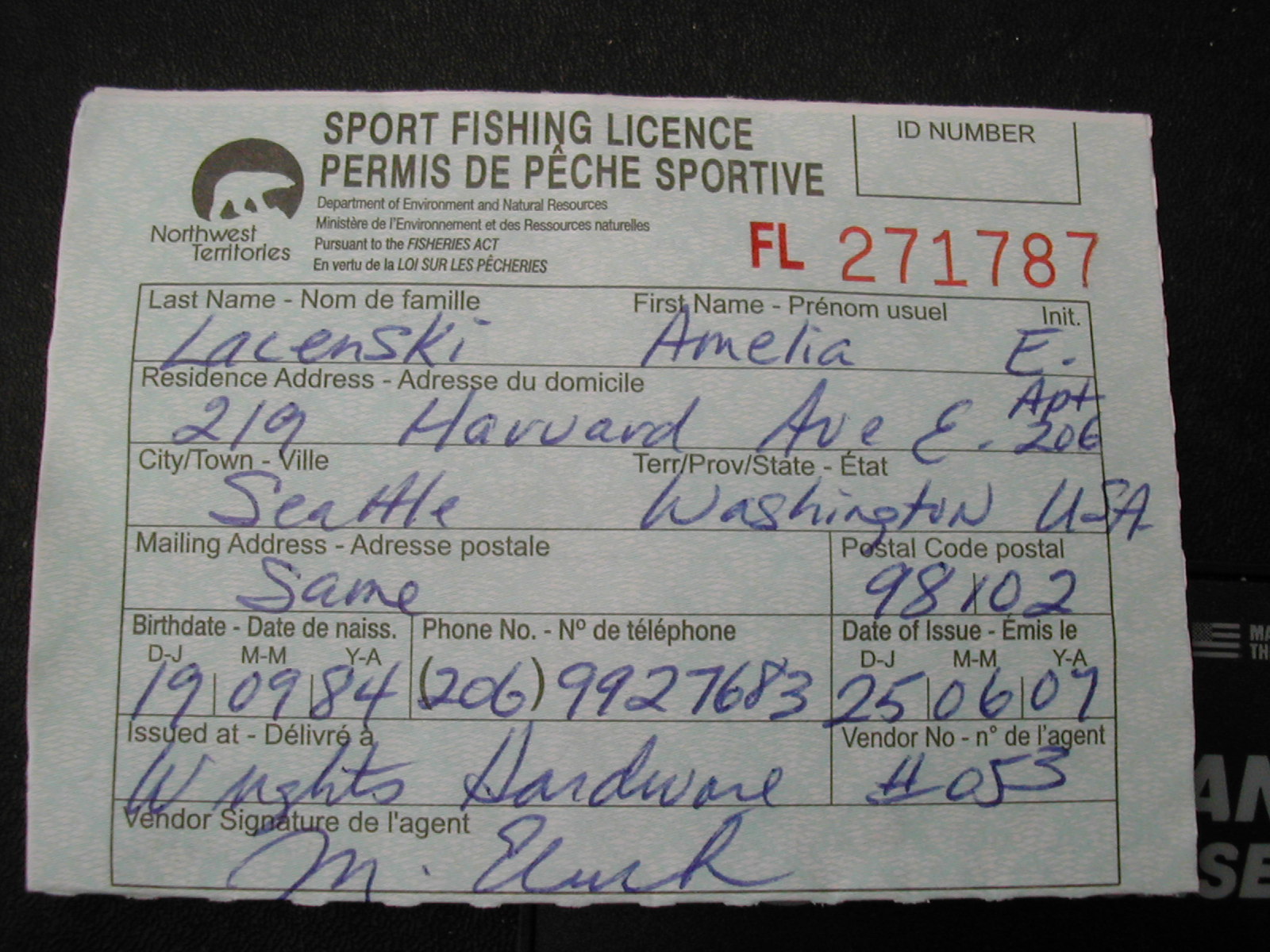
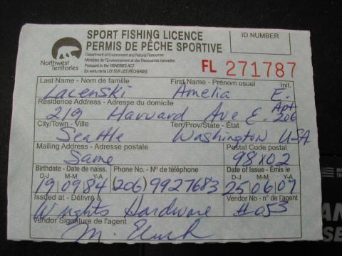
| 1185833769.jpg | 1185833769-pv.jpg | Northwest Territories fishing license | mrd |
| 1185833810.jpg | 1185833810-pv.jpg | View from inside the tent at Fort Providence | mrd |
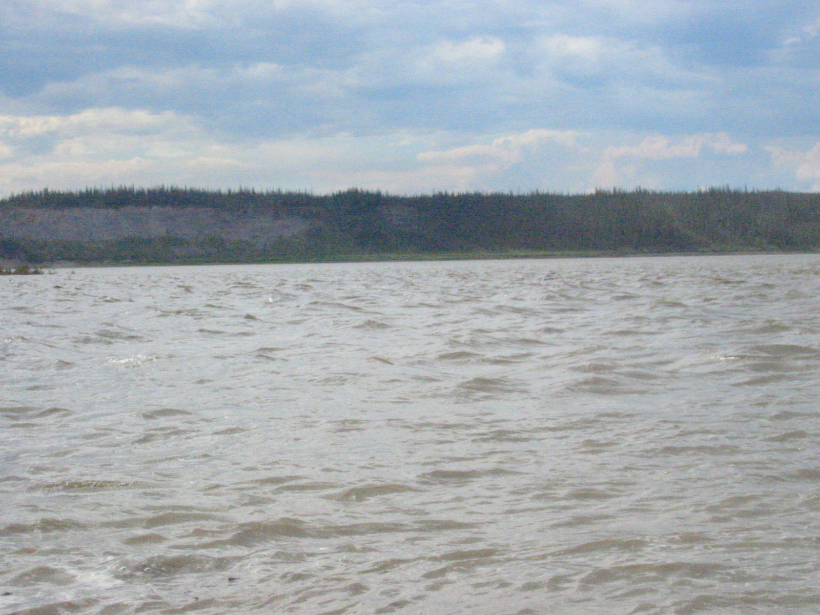
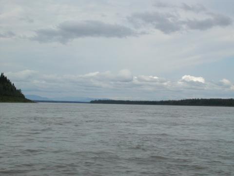
| 1185833853.jpg | 1185833853-pv.jpg | Mills Lake | mrd |
| 1185833873.jpg | 1185833873-pv.jpg | Mills Lake | mrd |
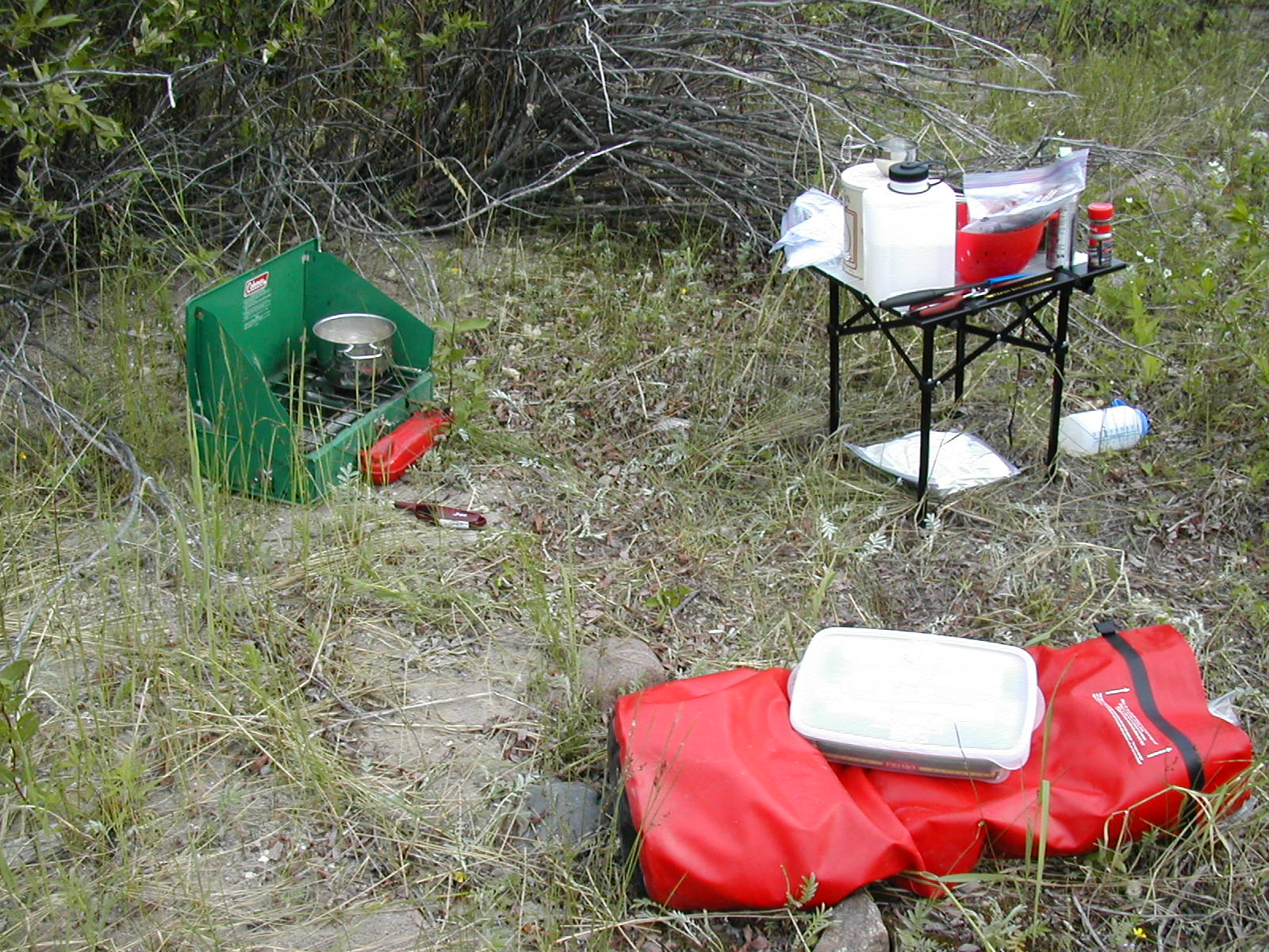
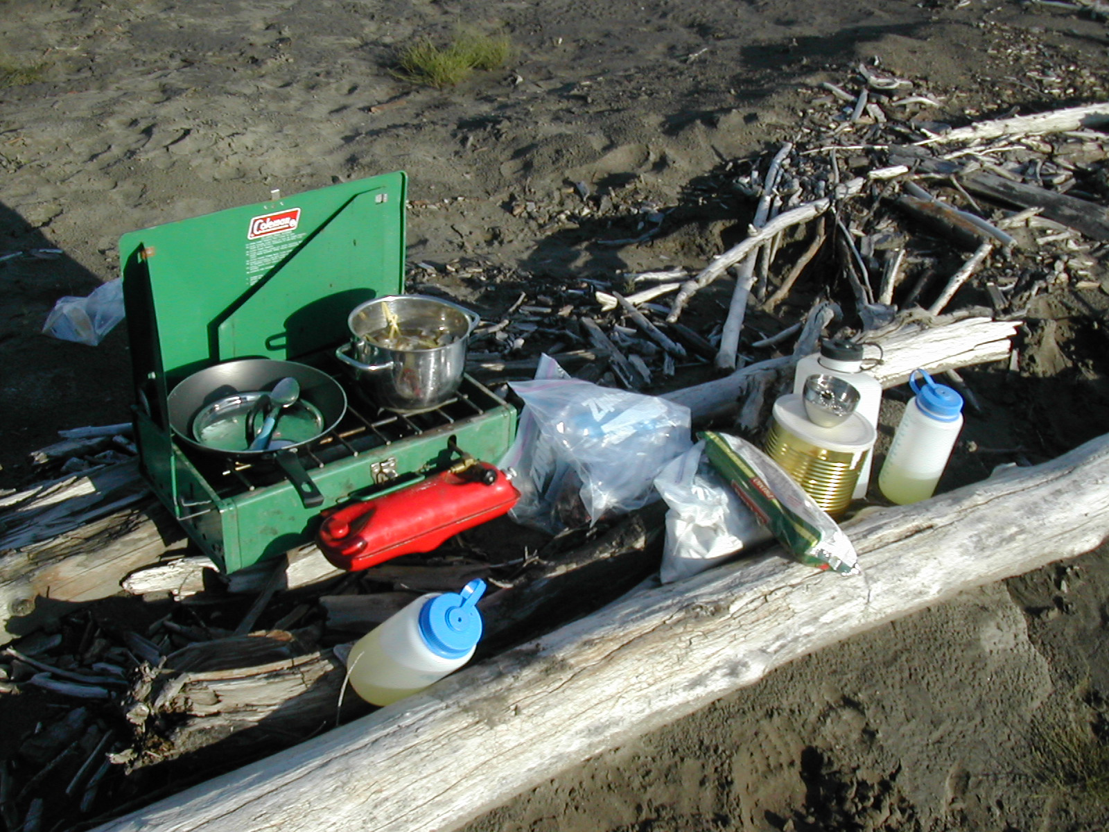
| 1185833908.jpg | 1185833908-pv.jpg | Cooking setup for lunch on day 2 | mrd |
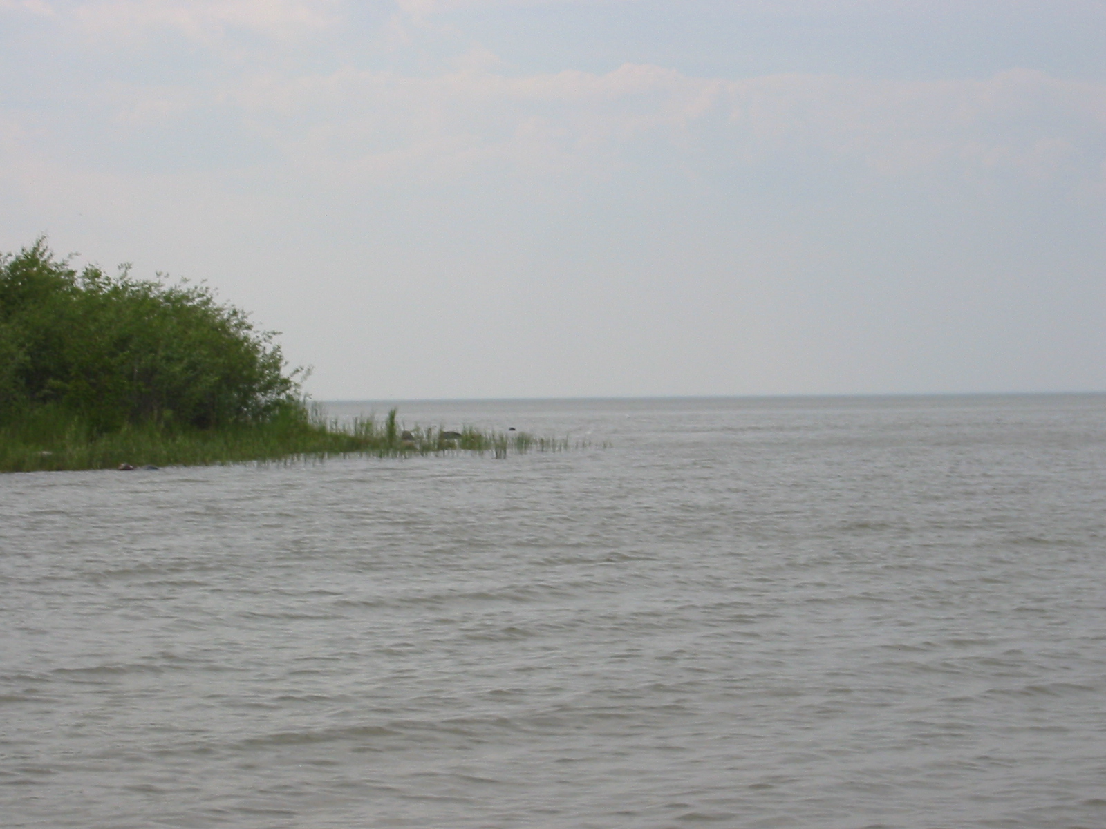
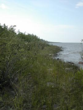
| 1185833931.jpg | 1185833931-pv.jpg | Shoreline | mrd |
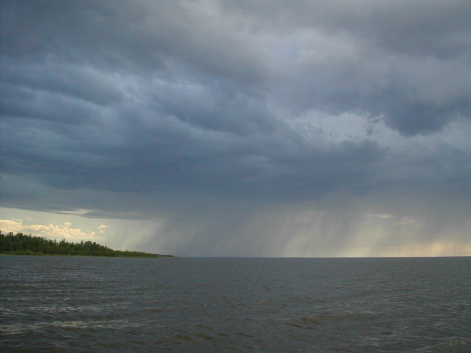
| 1185833959.jpg | 1185833959-pv.jpg | Rainstorm across Mills Lake | mrd |
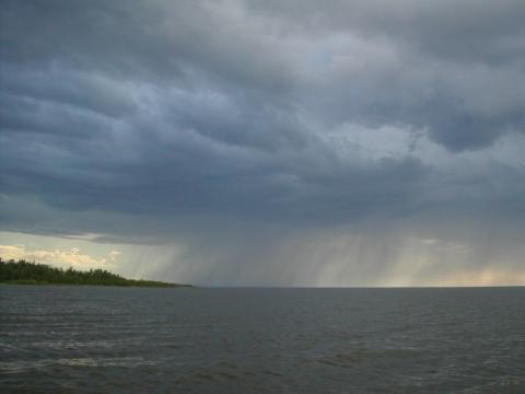
| 1185833980.jpg | 1185833980-pv.jpg | Rainstorm across Mills Lake | mrd |
| 1185834050.jpg | 1185834050-pv.jpg | Shoreline | mrd |
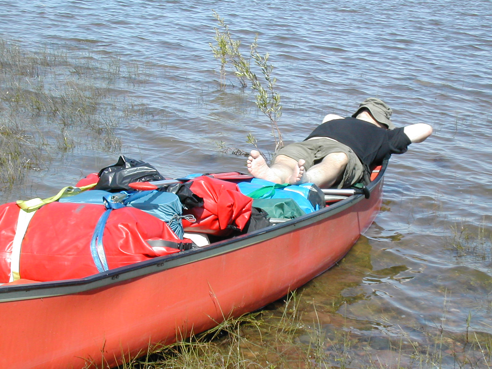
| 1185834094.jpg | 1185834094-pv.jpg | Fish snoozing on the canoe during a weather break | mrd |
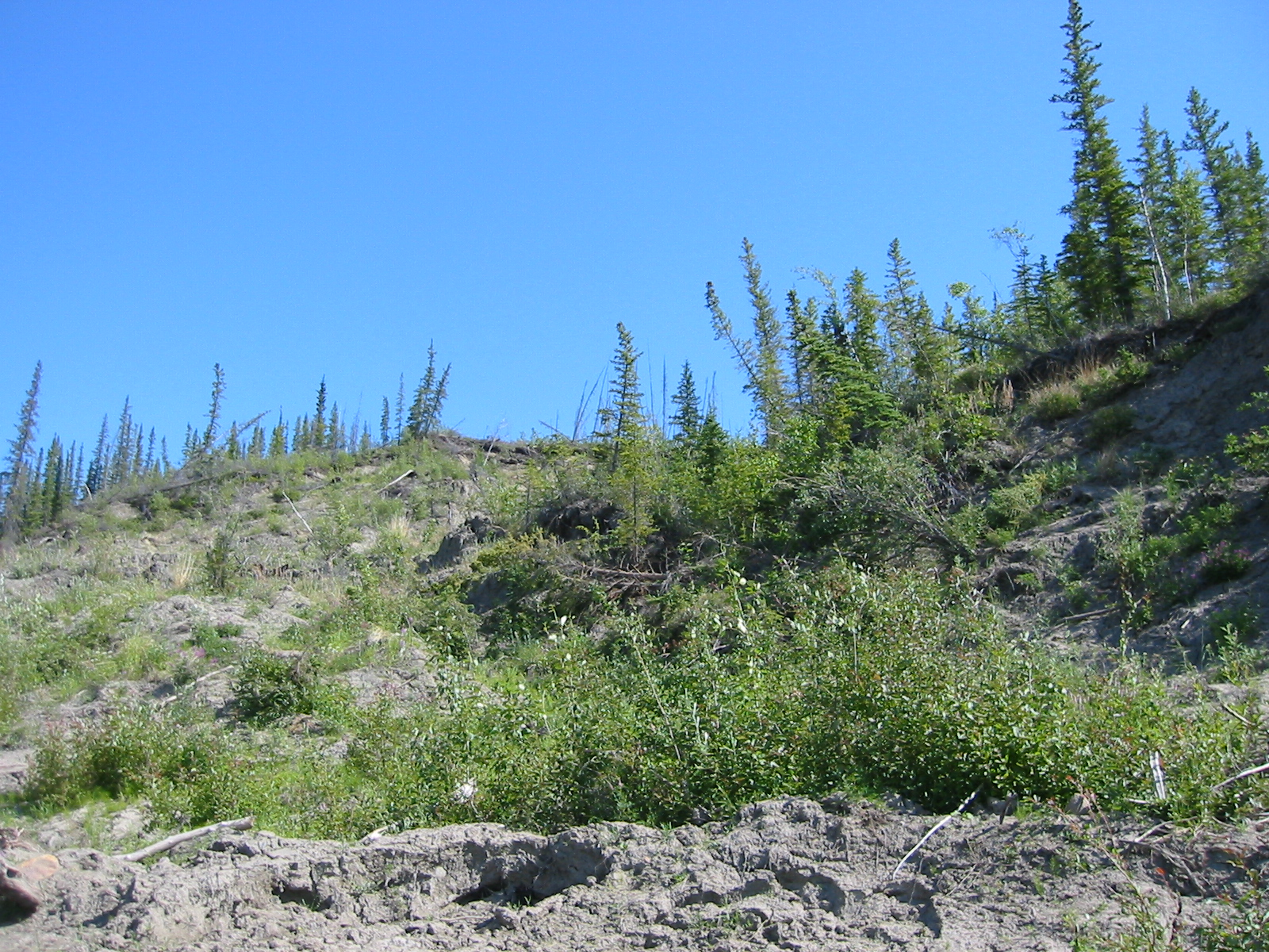
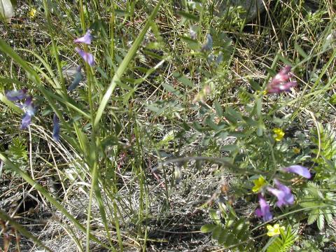
| 1185834114.jpg | 1185834114-pv.jpg | Plants | mrd |
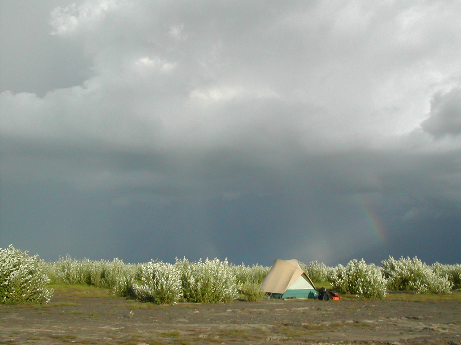
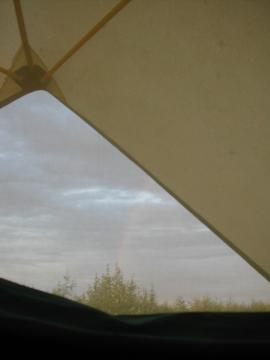
| 1185834142.jpg | 1185834142-pv.jpg | Rain and rainbow | mrd |
| 1185834166.jpg | 1185834166-pv.jpg | Rain and rainbow | mrd |
| 1185834216.jpg | 1185834216-pv.jpg | Flock of baby ducks | mrd |
| 1185834452.jpg | 1185834452-pv.jpg | Fish on the shoreline at our day 2 campsite | mrd |
| 1185834687.jpg | 1185834687-pv.jpg | Canoe tied up on the shoreline | mrd |
| 1185834713.jpg | 1185834713-pv.jpg | Shoreline at our day 2 campsite | mrd |
| 1185834727.jpg | 1185834727-pv.jpg | Shoreline at our day 2 campsite | mrd |
| 1185834747.jpg | 1185834747-pv.jpg | Fish on the shoreline at our day 2 campsite | mrd |
| 1185834772.jpg | 1185834772-pv.jpg | Canoe tied up on the shoreline | mrd |
| 1185834802.jpg | 1185834802-pv.jpg | Shoreline at our day 2 campsite | mrd |
| 1185834836.jpg | 1185834836-pv.jpg | Ari's bug-bitten foot | mrd |
| 1185834866.jpg | 1185834866-pv.jpg | Fish drying racks at Rabbitskin Creek | mrd |
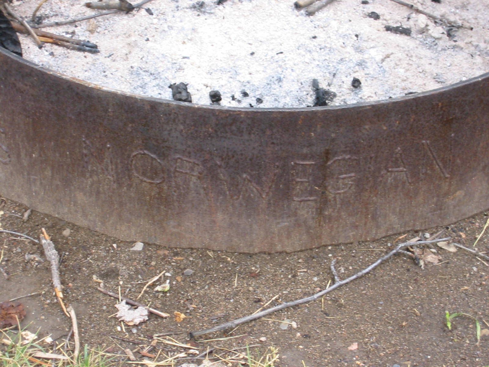
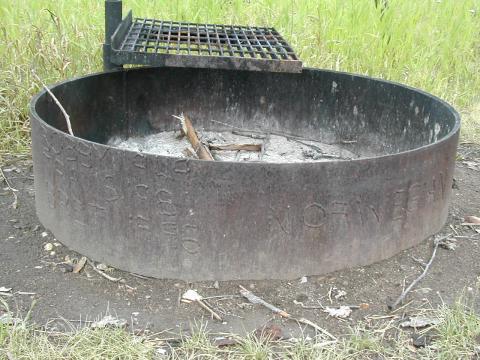
| 1185834915.jpg | 1185834915-pv.jpg | Fire ring with Norwegisn family tree | mrd |
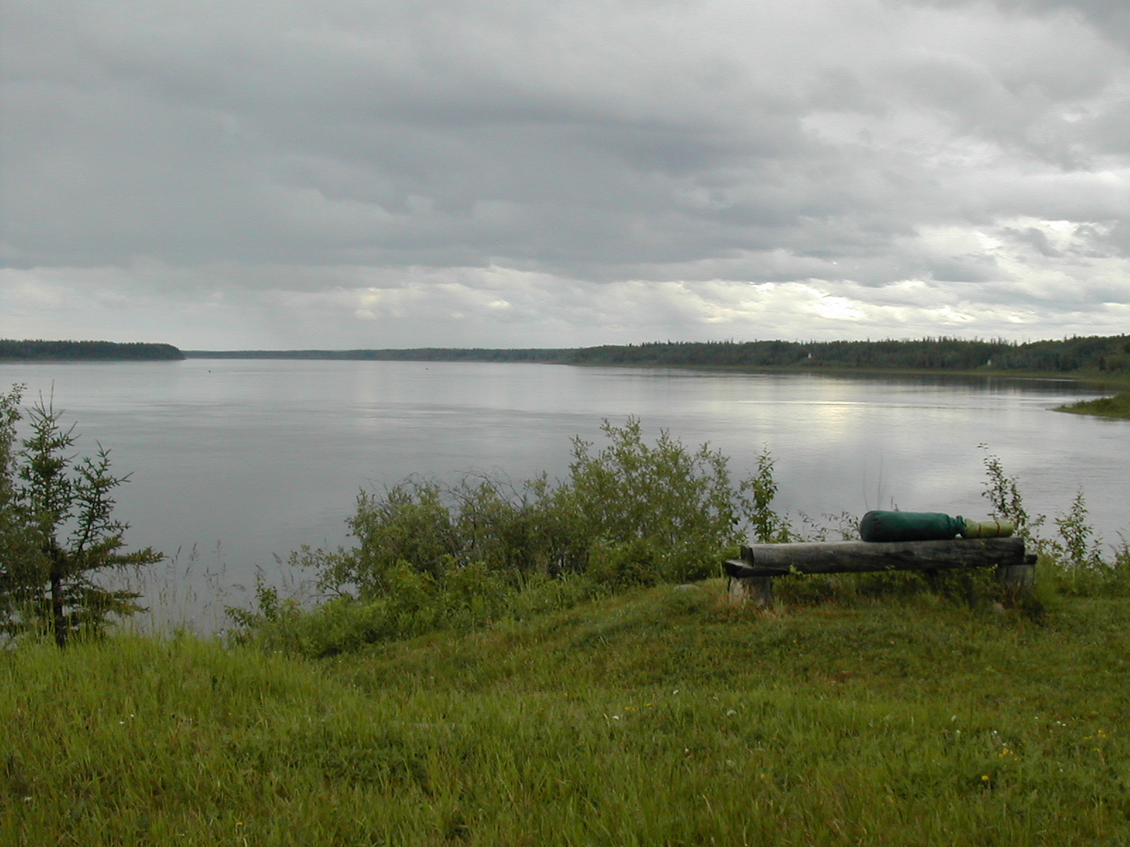
| 1185834943.jpg | 1185834943-pv.jpg | View of river from Rabbitskin Creek cabins | mrd |
| 1185834997.jpg | 1185834997-pv.jpg | Pipeline warning sign: do not dredge or anchor | mrd |
| 1185835013.jpg | 1185835013-pv.jpg | Pipeline warning sign: do not dredge or anchor | mrd |
| 1185835044.jpg | 1185835044-pv.jpg | River from the canoe | mrd |
| 1185835067.jpg | 1185835067-pv.jpg | River from the canoe | mrd |
| 1185835117.jpg | 1185835117-pv.jpg | Camsell range mountains | mrd |
| 1185835139.jpg | 1185835139-pv.jpg | Camsell range mountains | mrd |
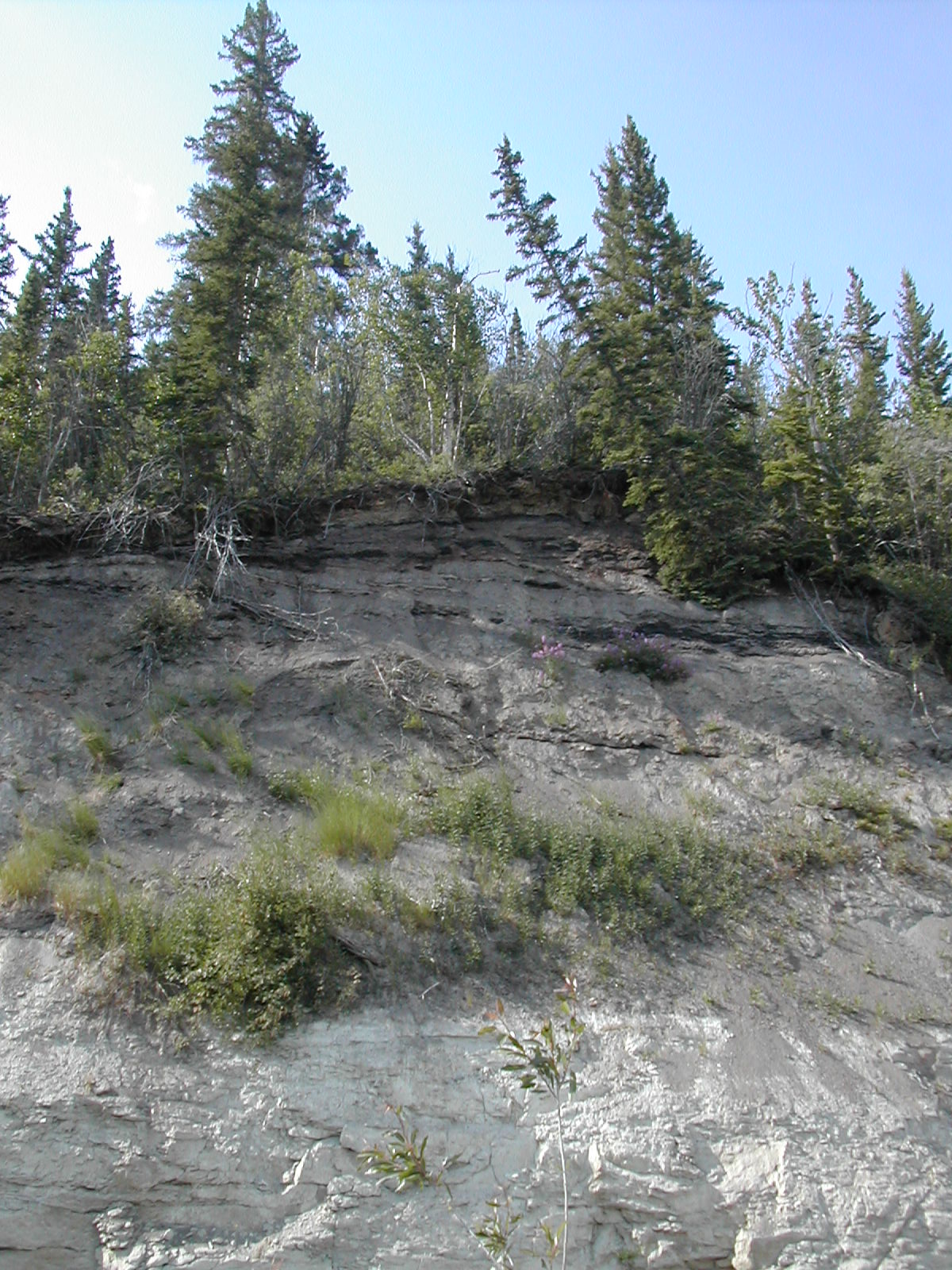
| 1185835182.jpg | 1185835182-pv.jpg | Plants | mrd |
| 1185835196.jpg | 1185835196-pv.jpg | Plants | mrd |
| 1185835213.jpg | 1185835213-pv.jpg | Plants | mrd |
| 1185835229.jpg | 1185835229-pv.jpg | Plants | mrd |
| 1185835241.jpg | 1185835241-pv.jpg | Plants | mrd |
| 1185835272.jpg | 1185835272-pv.jpg | Mountains from the river | mrd |
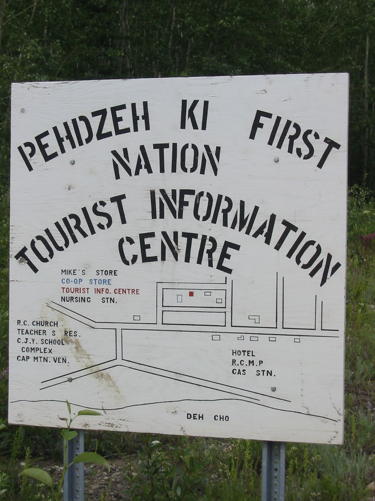
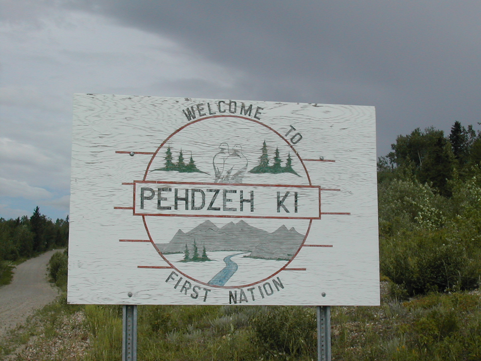
| 1185835315.jpg | 1185835315-pv.jpg | 'Welcome to Pehdzeh Ki first nation' sign (Wrigely) | mrd |
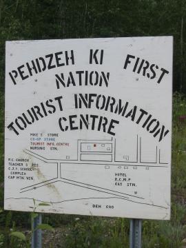
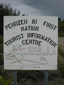
| 1185835378.jpg | 1185835378-pv.jpg | Pehdzeh Ki first nation tourist information centre sign with map | mrd |
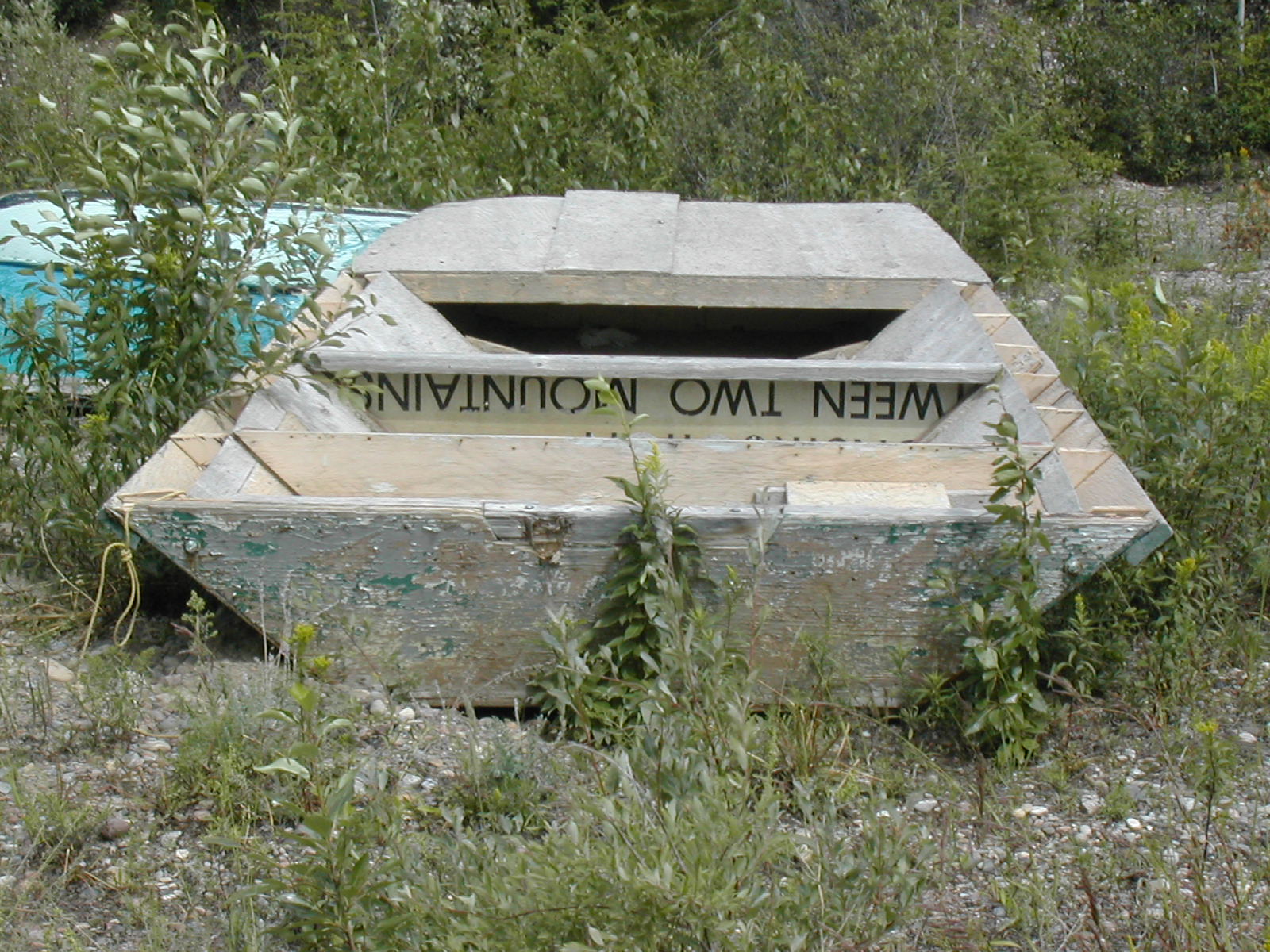
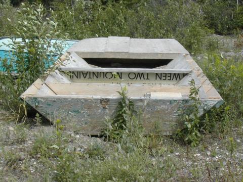
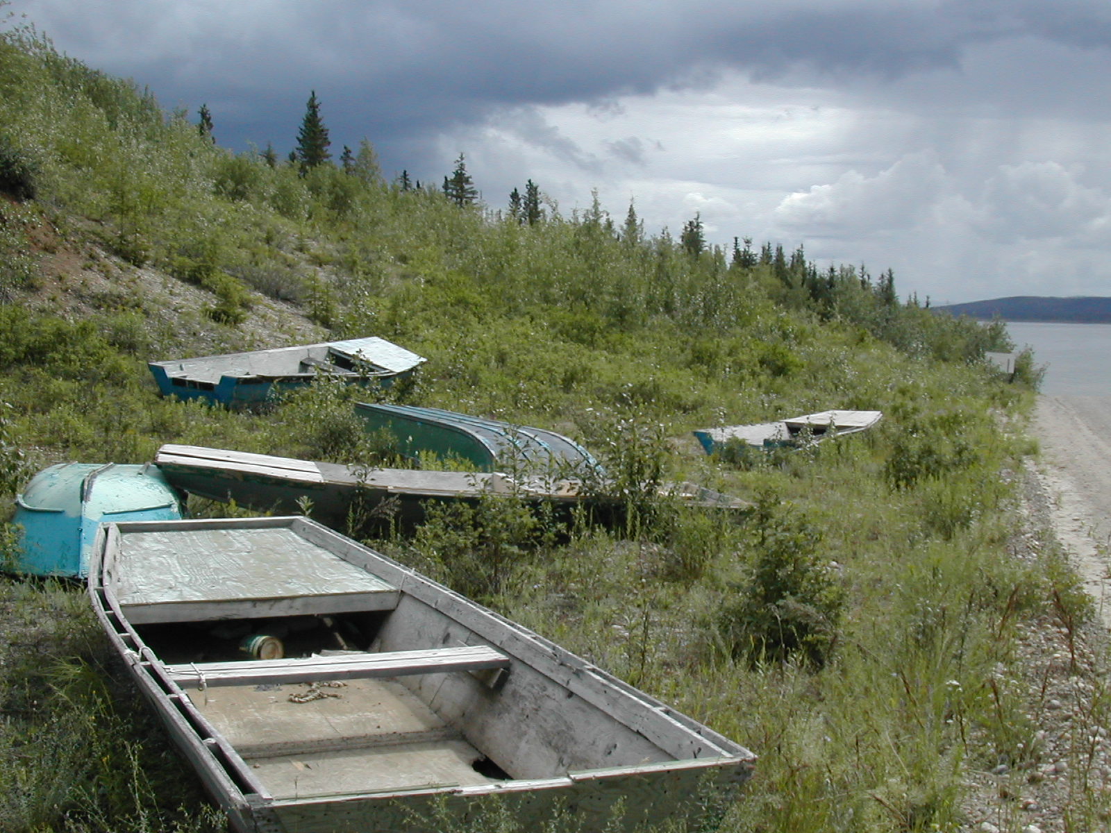
| 1185835416.jpg | 1185835416-pv.jpg | Bits of wooden boats made from shipping crates | mrd |
| 1185835431.jpg | 1185835431-pv.jpg | Bits of wooden boats made from shipping crates | mrd |
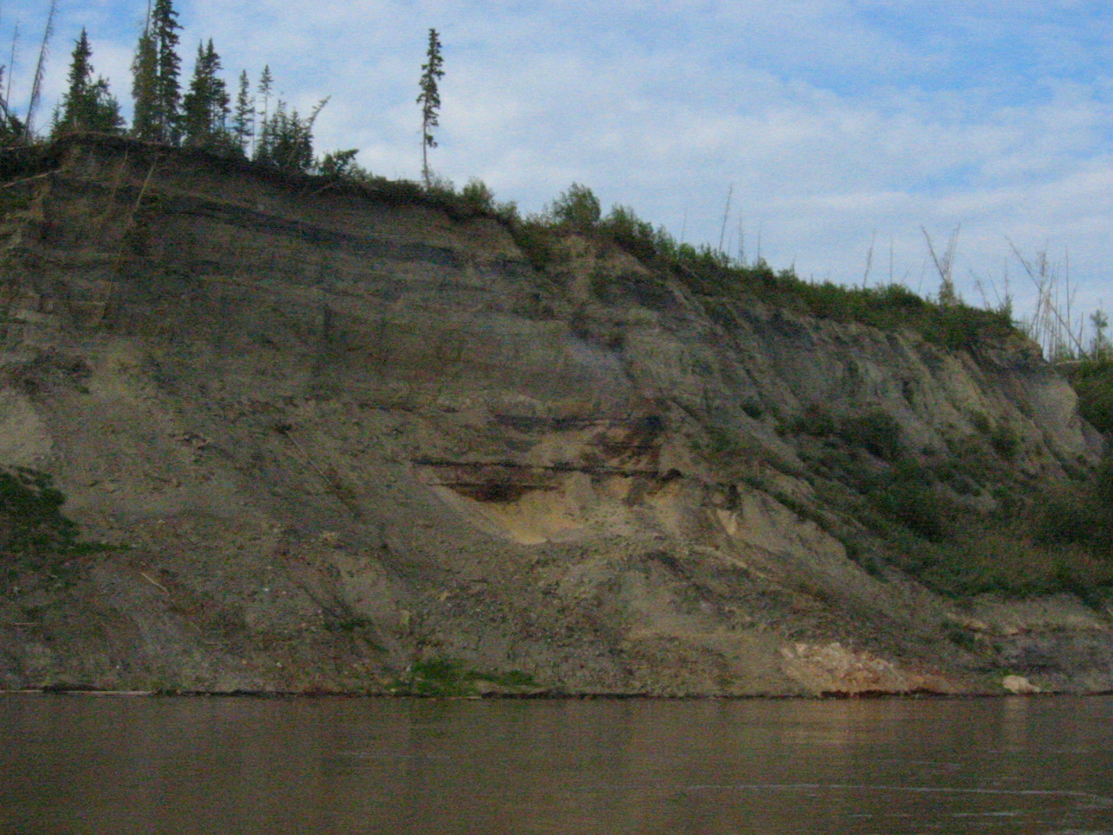
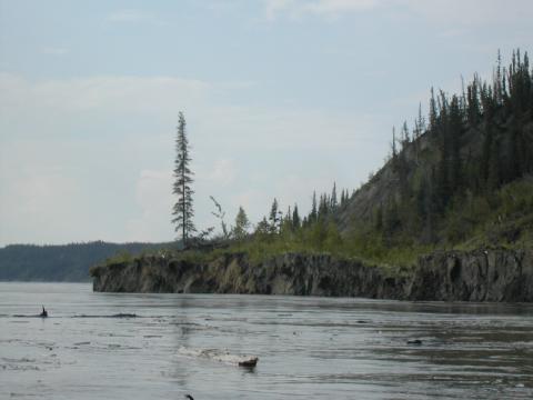
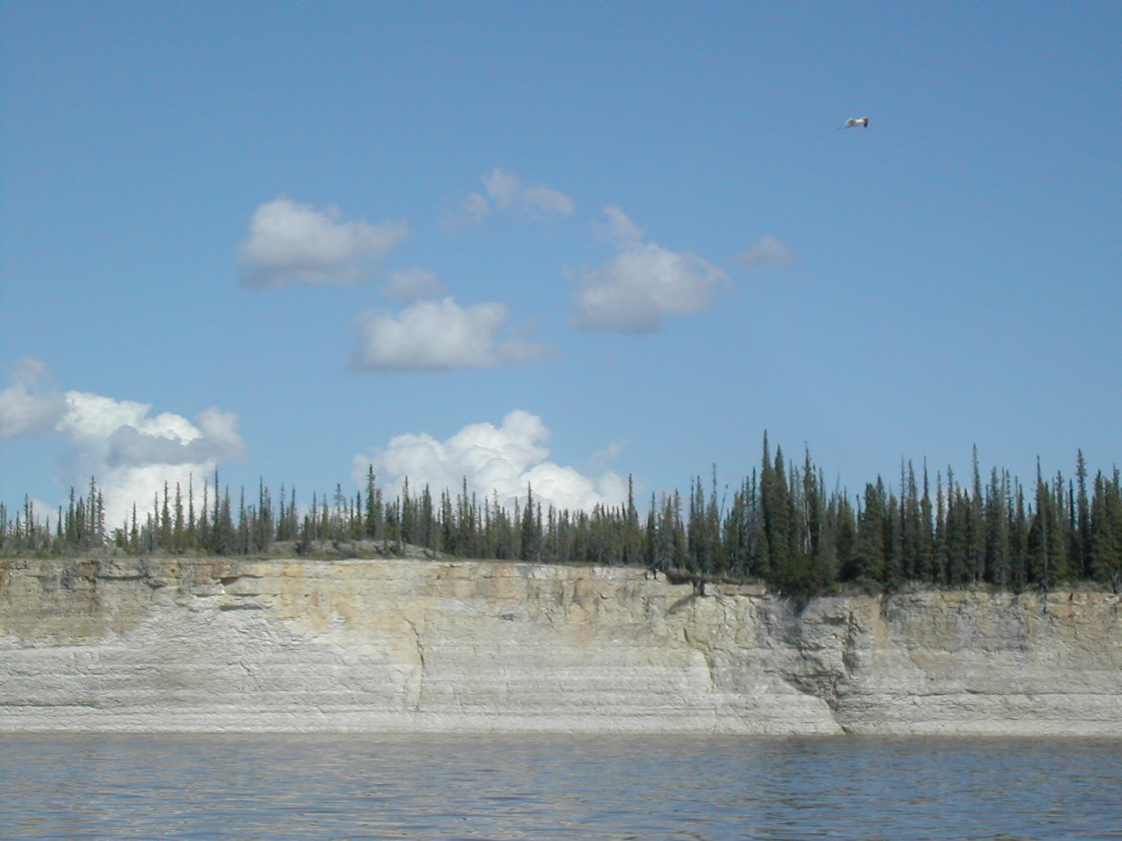
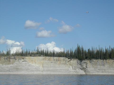
| 1185835464.jpg | 1185835464-pv.jpg | Rock face approaching La Roche Qui Trempe a L'eau | mrd |
| 1185835484.jpg | 1185835484-pv.jpg | Rock face approaching La Roche Qui Trempe a L'eau | mrd |
| 1185835500.jpg | 1185835500-pv.jpg | Rock face approaching La Roche Qui Trempe a L'eau | mrd |
| 1185835557.jpg | 1185835557-pv.jpg | La Roche Qui Trempe a L'eau | mrd |
| 1185835571.jpg | 1185835571-pv.jpg | La Roche Qui Trempe a L'eau | mrd |
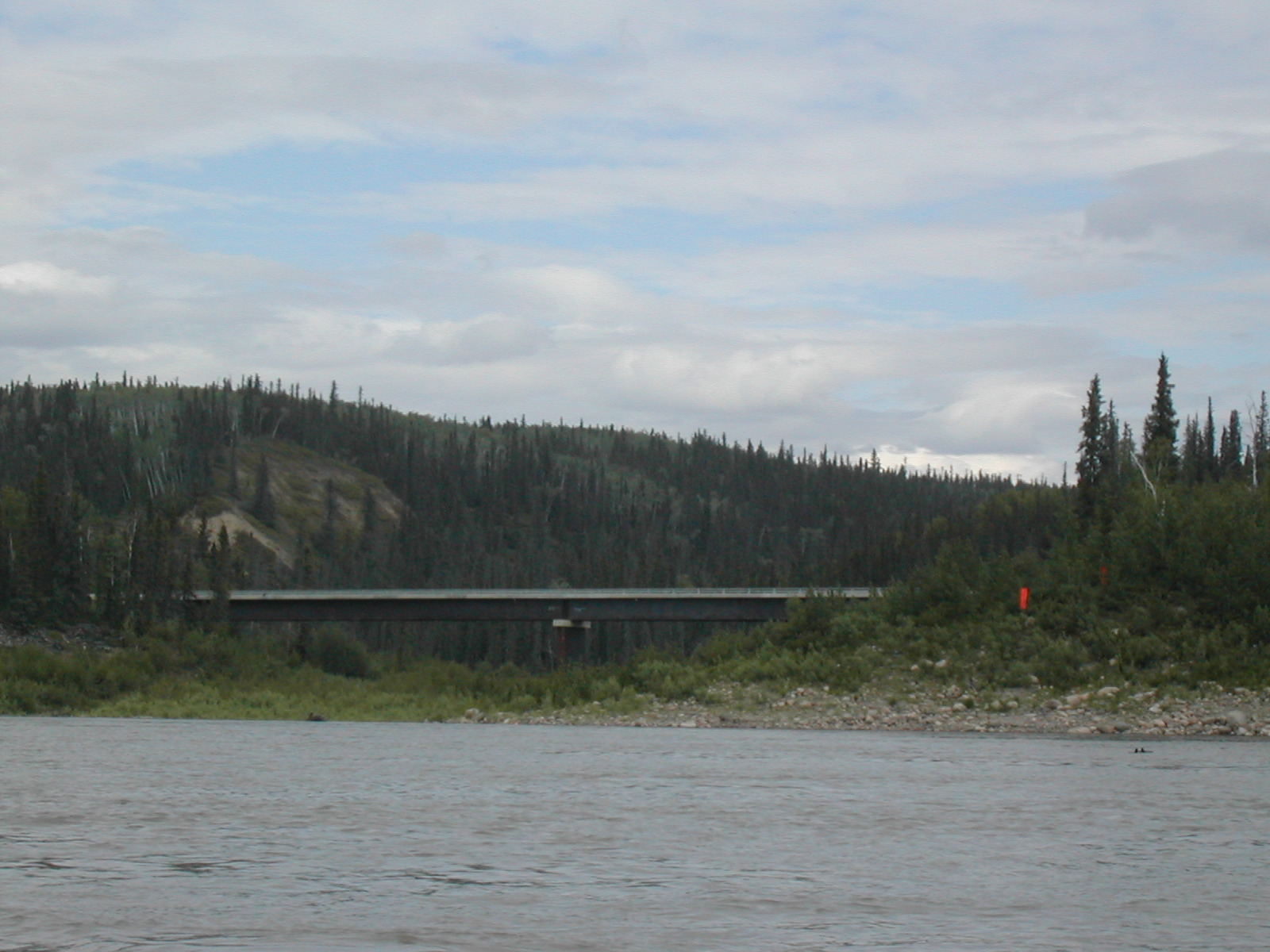
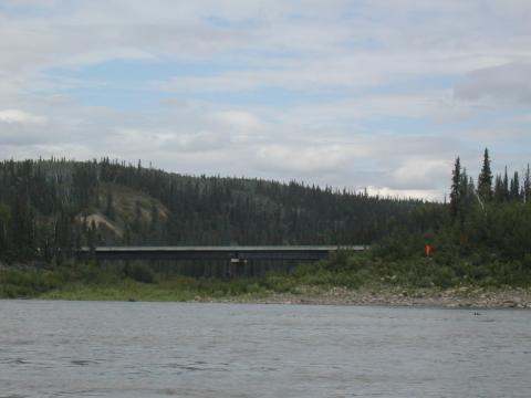
| 1185835632.jpg | 1185835632-pv.jpg | Bridge for the uncompleted Mackenzie Highway north of Wrigley | mrd |
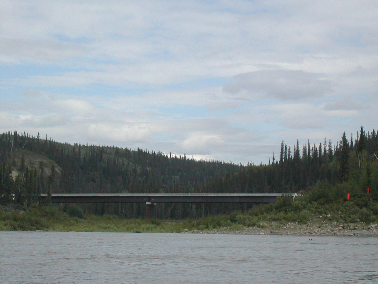
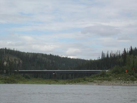
| 1185835664.jpg | 1185835664-pv.jpg | Bridge for the uncompleted Mackenzie Highway north of Wrigley | mrd |
| 1185835714.jpg | 1185835714-pv.jpg | Shoreline | mrd |
| 1185835754.jpg | 1185835754-pv.jpg | Fish paddling in the rear of the canoe | mrd |
| 1185835778.jpg | 1185835778-pv.jpg | Fish paddling in the rear of the canoe | mrd |
| 1185835799.jpg | 1185835799-pv.jpg | Fish paddling in the rear of the canoe | mrd |
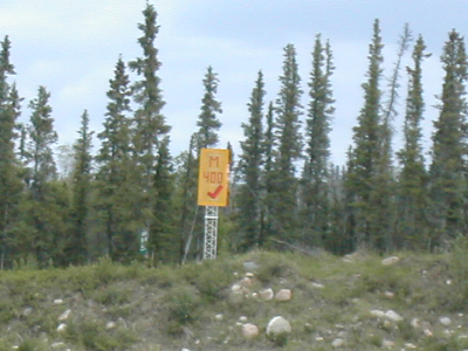
| 1185835832.jpg | 1185835832-pv.jpg | Mile 400 marker | mrd |
| 1185835883.jpg | 1185835883-pv.jpg | Fish filtering water on boulders | mrd |
| 1185835915.jpg | 1185835915-pv.jpg | Canadian Coast Guard vessel Dumit working on the far shore | mrd |
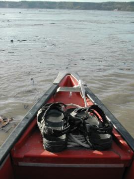
| 1185835961.jpg | 1185835961-pv.jpg | Bow of the canoe with Ari's sandles | mrd |
| 1185835985.jpg | 1185835985-pv.jpg | Shoreline | mrd |
| 1185836005.jpg | 1185836005-pv.jpg | Shoreline | mrd |
| 1185836023.jpg | 1185836023-pv.jpg | Shoreline | mrd |
| 1185836039.jpg | 1185836039-pv.jpg | Water | mrd |
| 1185836065.jpg | 1185836065-pv.jpg | Water | mrd |
| 1185836085.jpg | 1185836085-pv.jpg | Shoreline | mrd |
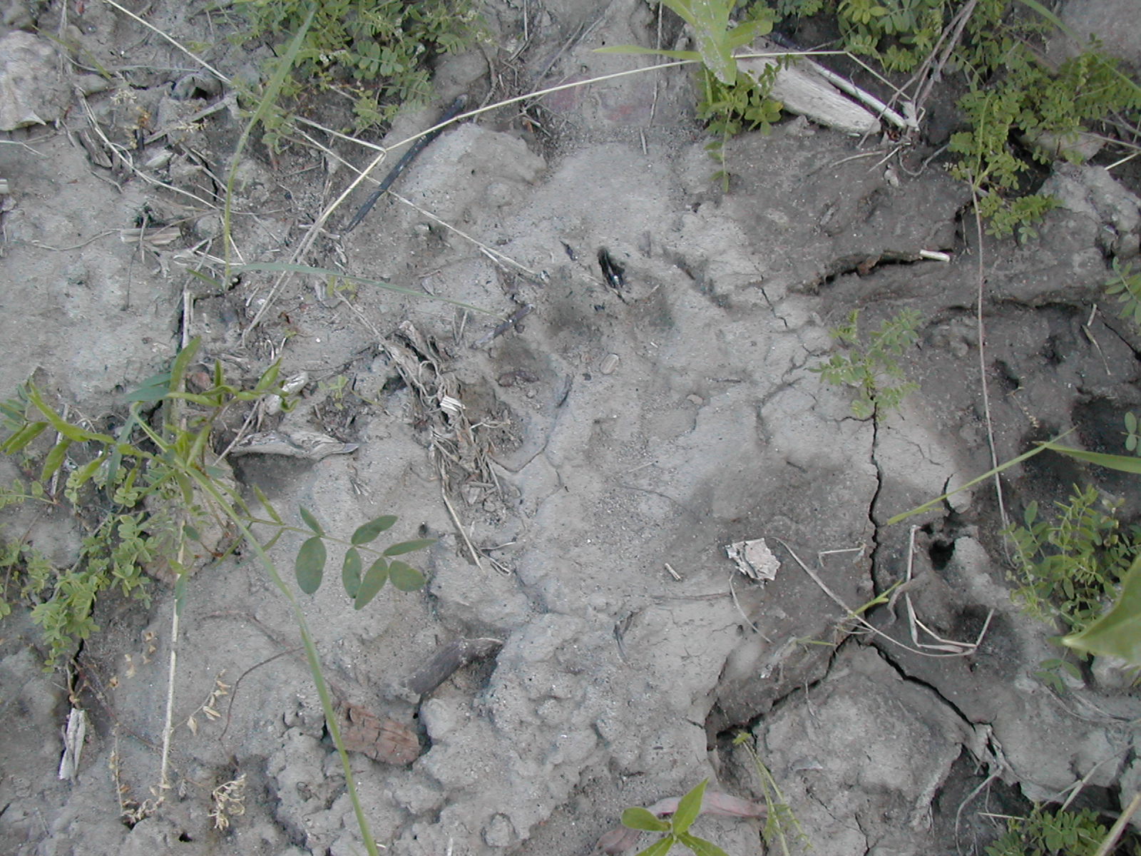
| 1185836120.jpg | 1185836120-pv.jpg | Bear print in the mud | mrd |
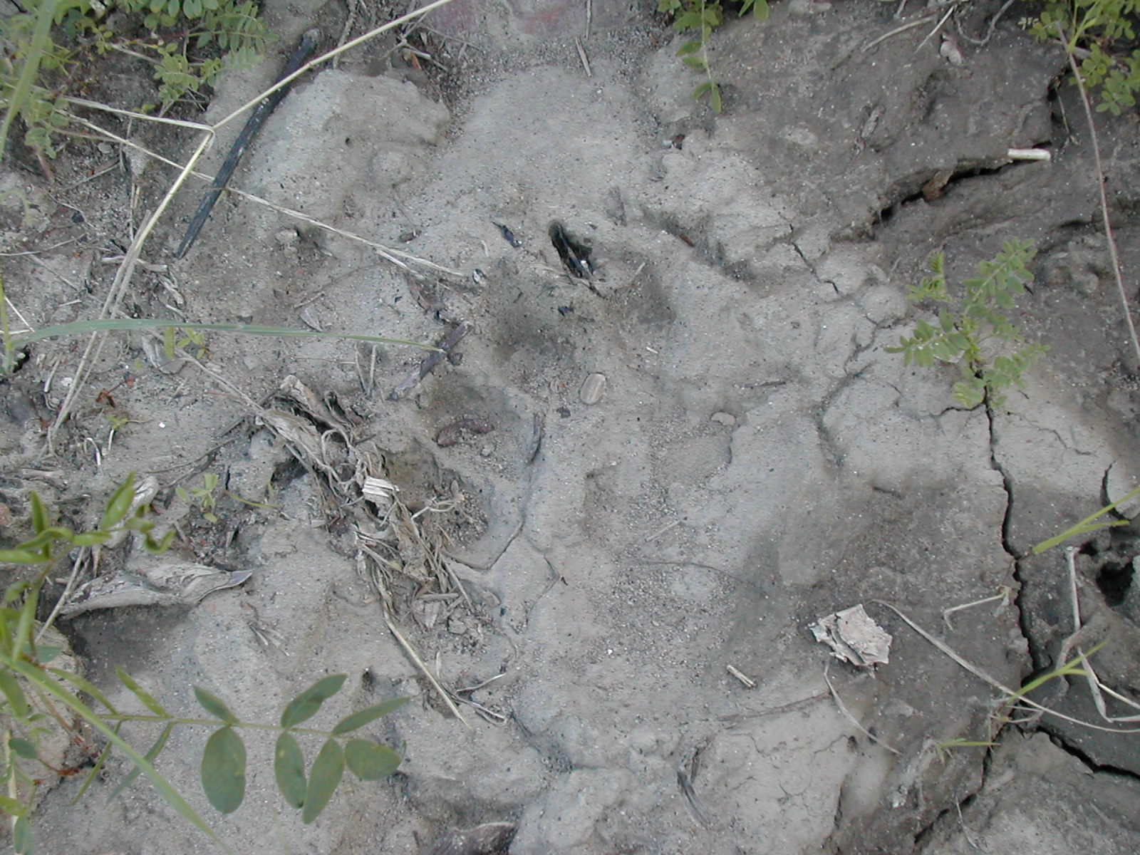
| 1185836133.jpg | 1185836133-pv.jpg | Bear print in the mud | mrd |
| 1185836180.jpg | 1185836180-pv.jpg | Lone tree standing on a quickly eroding point | mrd |
| 1185836194.jpg | 1185836194-pv.jpg | Lone tree standing on a quickly eroding point | mrd |
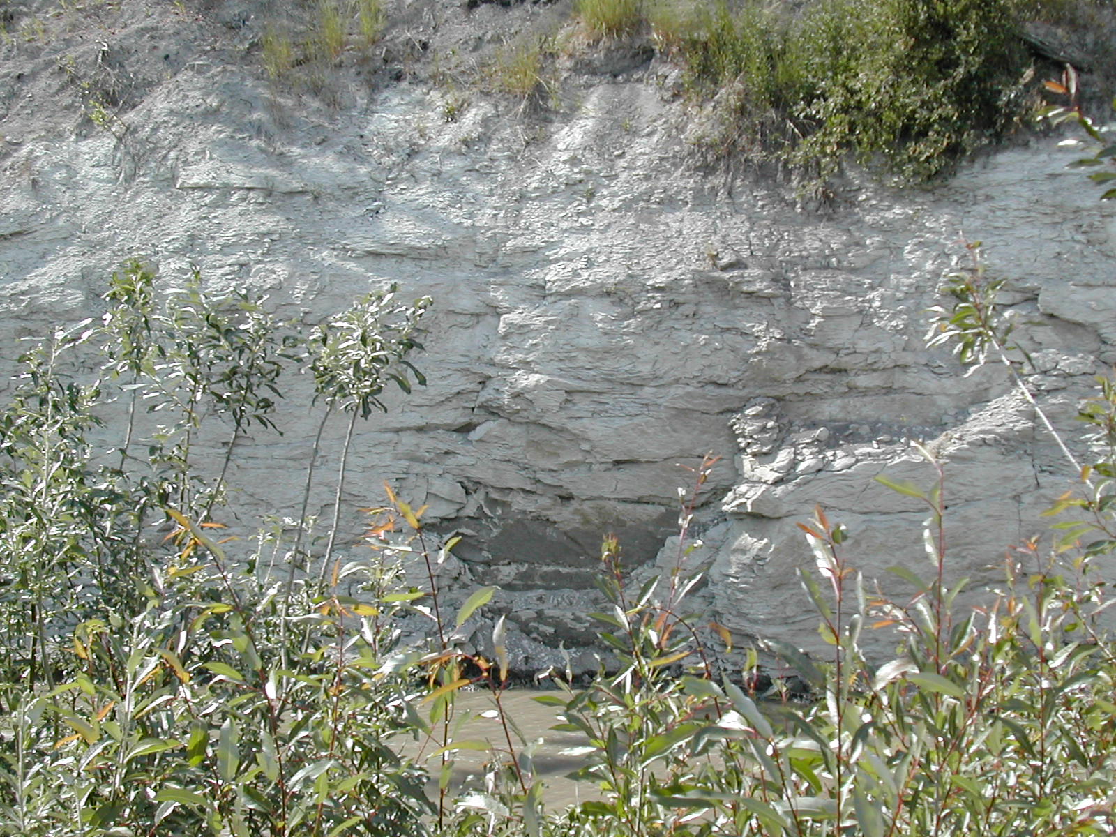
| 1185836214.jpg | 1185836214-pv.jpg | Eroding shoreline | mrd |
| 1185836261.jpg | 1185836261-pv.jpg | Eroding shoreline | mrd |
| 1185836282.jpg | 1185836282-pv.jpg | Shoreline | mrd |
| 1185836297.jpg | 1185836297-pv.jpg | Shoreline | mrd |
| 1185836334.jpg | 1185836334-pv.jpg | Shoreline | mrd |
| 1185836348.jpg | 1185836348-pv.jpg | Shoreline | mrd |
| 1185836383.jpg | 1185836383-pv.jpg | Fish doing his Maori yell | mrd |
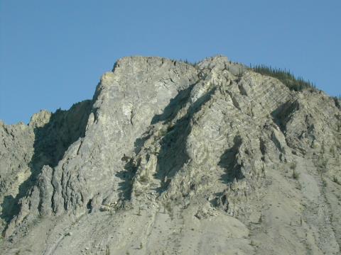
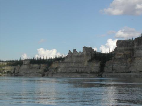
| 1185836415.jpg | 1185836415-pv.jpg | Bear Rock of the Norman Range | mrd |
| 1185836428.jpg | 1185836428-pv.jpg | Bear Rock of the Norman Range | mrd |
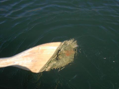
| 1185856538.jpg | 1185856538-pv.jpg | Paddle in clear, cold Great Bear River water | mrd |
| 1185856563.jpg | 1185856563-pv.jpg | Bear Rock of the Norman Range | mrd |
| 1185856578.jpg | 1185856578-pv.jpg | Bear Rock of the Norman Range | mrd |
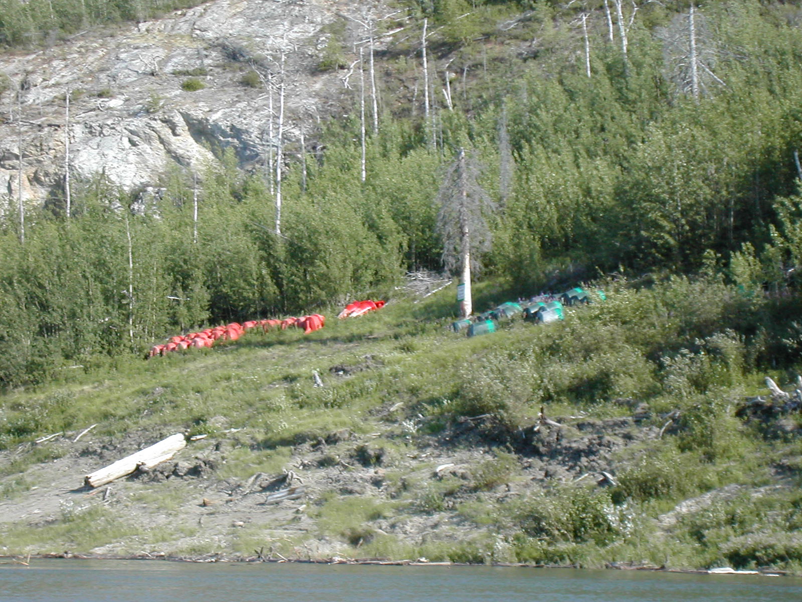
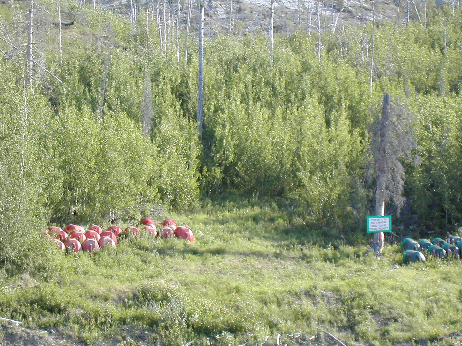
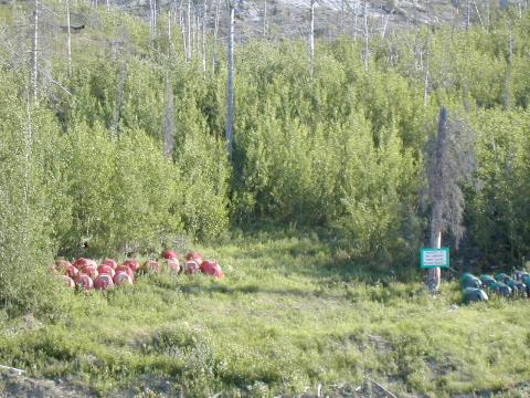
| 1185856613.jpg | 1185856613-pv.jpg | River buoy cache -- one of several we passed | mrd |
| 1185856660.jpg | 1185856660-pv.jpg | River buoy cache -- sign: property of Canadian Coast Guard please respect | mrd |
| 1185856756.jpg | 1185856756-pv.jpg | River watching platform outside Norman Wells | mrd |
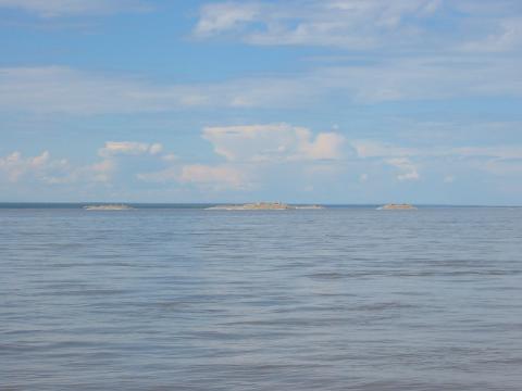
| 1185856829.jpg | 1185856829-pv.jpg | Artificial islands at Norman Wells | mrd |
| 1185857045.jpg | 1185857045-pv.jpg | Artificial islands at Norman Wells | mrd |
| 1185857132.jpg | 1185857132-pv.jpg | Shoreline at Norman Wells | mrd |
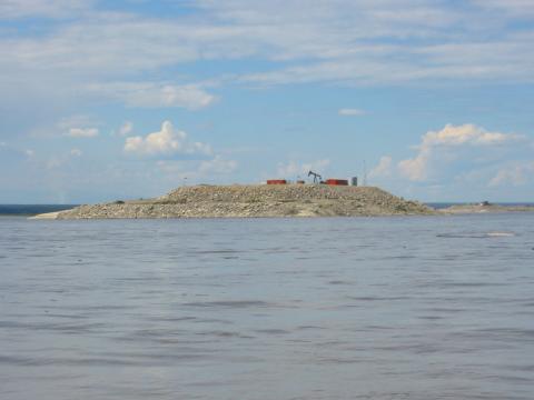
| 1185857156.jpg | 1185857156-pv.jpg | Artificial islands at Norman Wells | mrd |
| 1185857406.jpg | 1185857406-pv.jpg | Shoreline at Norman Wells | mrd |
| 1185857493.jpg | 1185857493-pv.jpg | Shoreline near burned fire outside Norman Wells | mrd |
| 1185857511.jpg | 1185857511-pv.jpg | Plants | mrd |
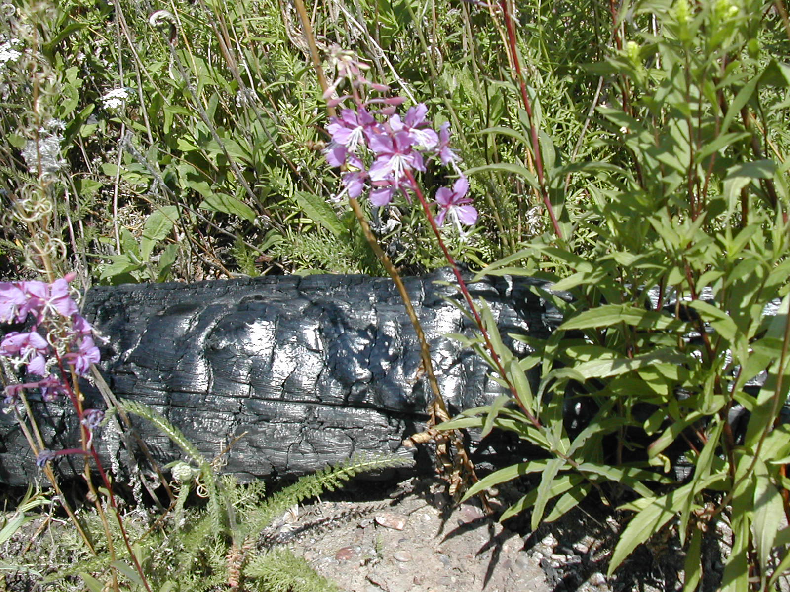
| 1185857530.jpg | 1185857530-pv.jpg | Plants with burned log | mrd |
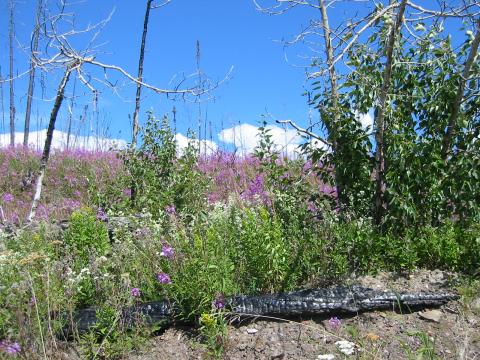
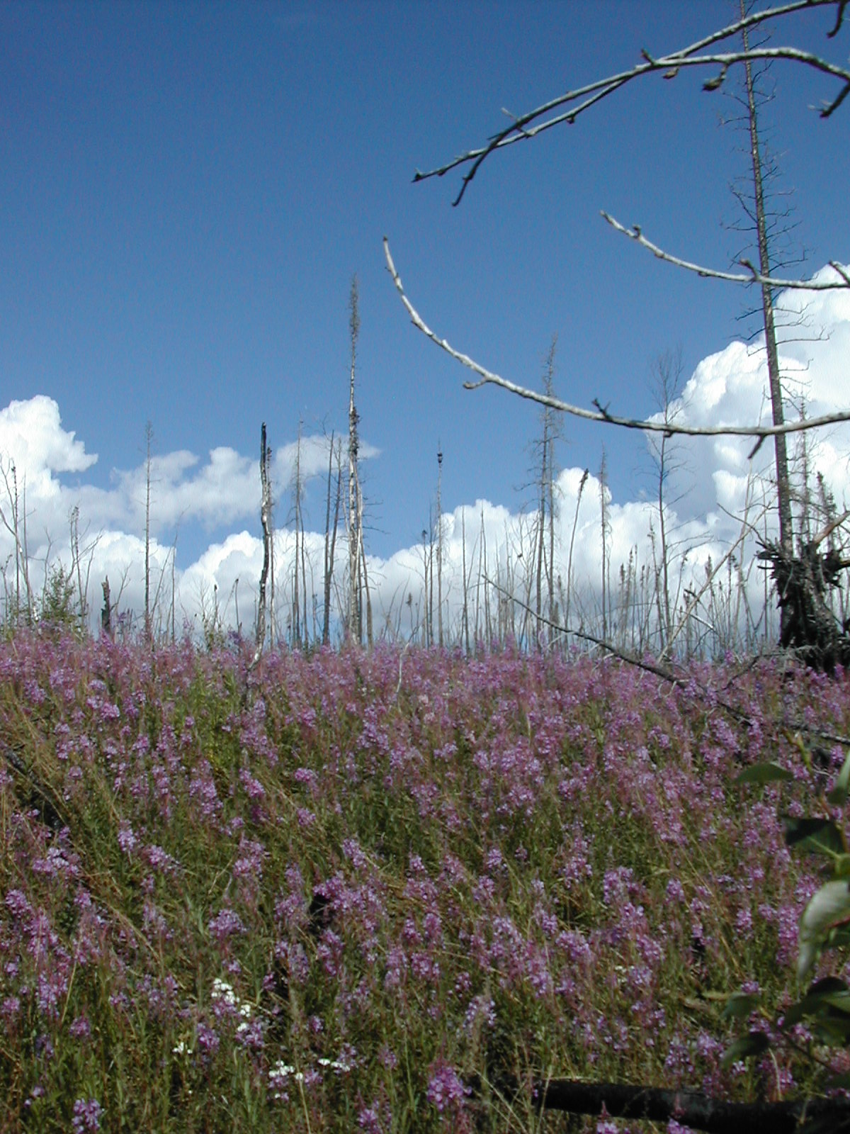
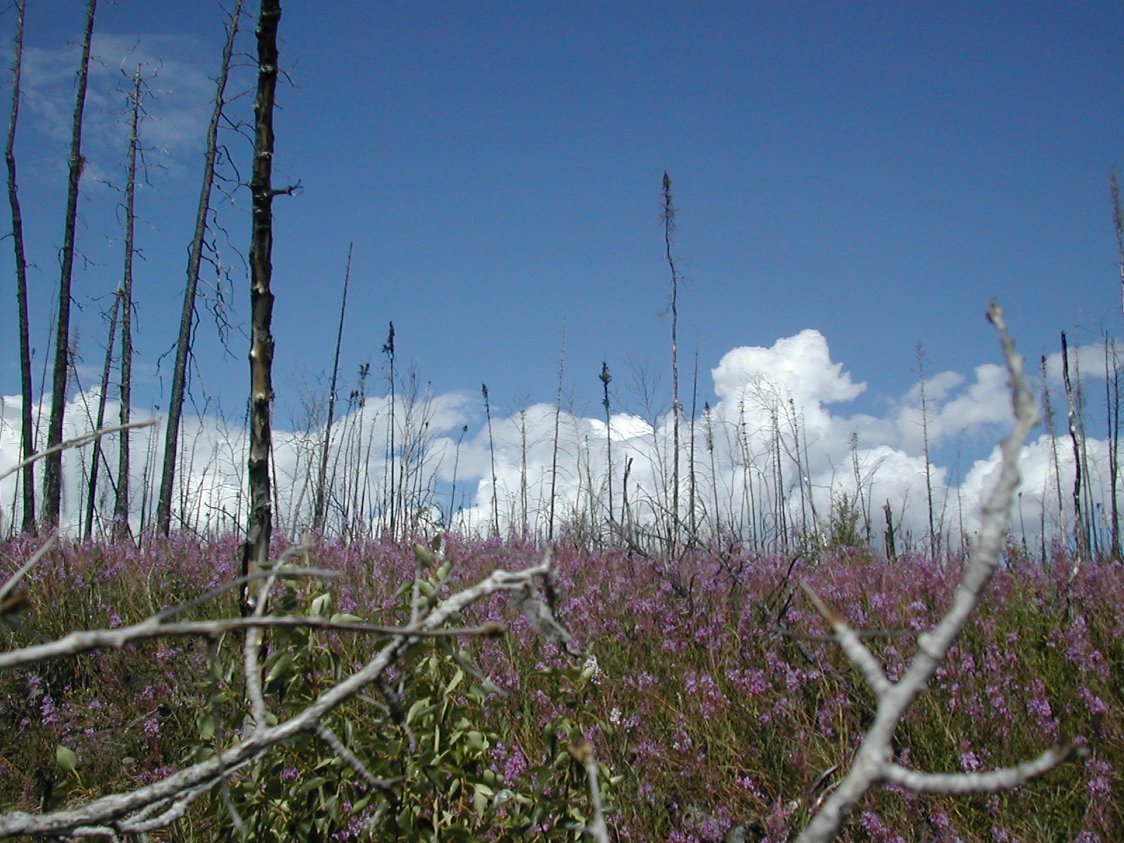
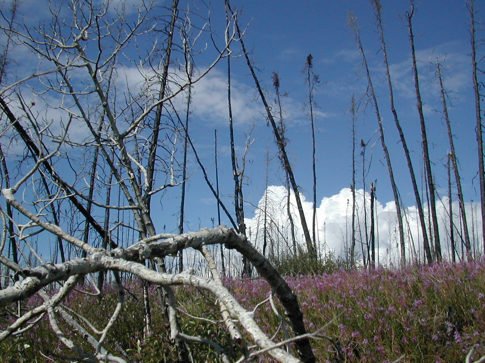
| 1185857559.jpg | 1185857559-pv.jpg | Fireweed blooms among burned trees | mrd |
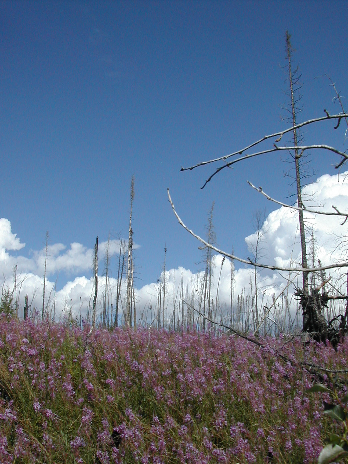
| 1185857578.jpg | 1185857578-pv.jpg | Fireweed blooms among burned trees | mrd |
| 1185857596.jpg | 1185857596-pv.jpg | Fireweed blooms among burned trees | mrd |
| 1185857610.jpg | 1185857610-pv.jpg | Fireweed blooms among burned trees | mrd |
| 1185857666.jpg | 1185857666-pv.jpg | Fish with the canoe, looking quite small | mrd |
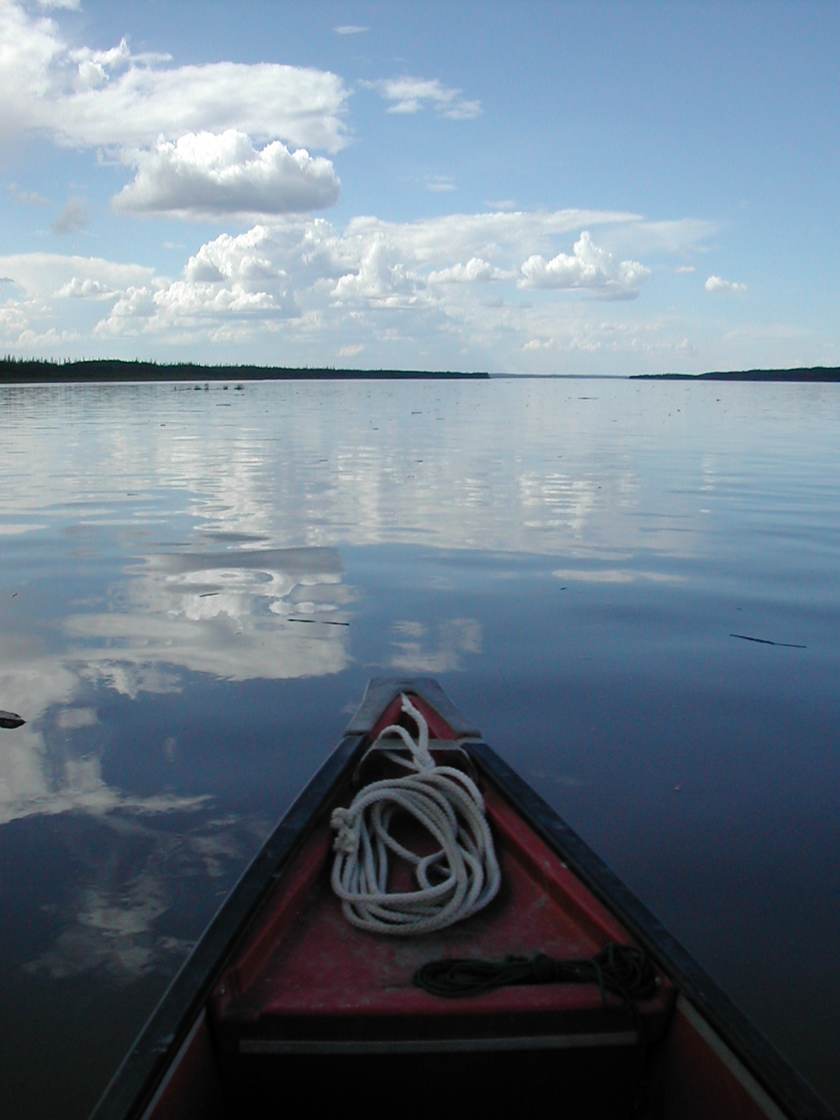
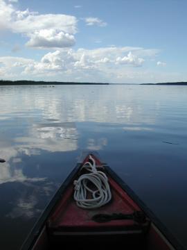
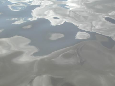
| 1185857702.jpg | 1185857702-pv.jpg | Reflected clouds on a still river, canoe bow | mrd |
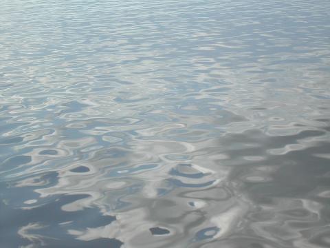
| 1185857861.jpg | 1185857861-pv.jpg | Reflections on water | mrd |
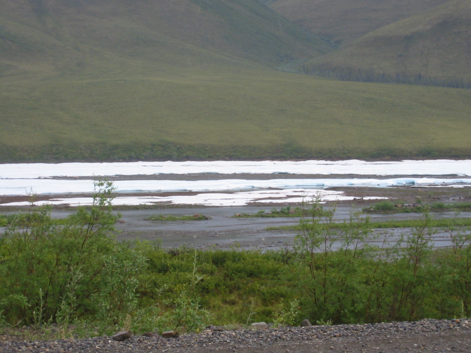
| 1185857897.jpg | 1185857897-pv.jpg | Snow in a shaded crevice along the river | mrd |
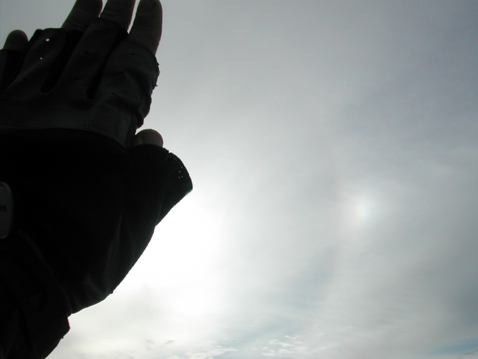
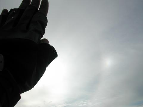
| 1185857923.jpg | 1185857923-pv.jpg | Sun dog | mrd |
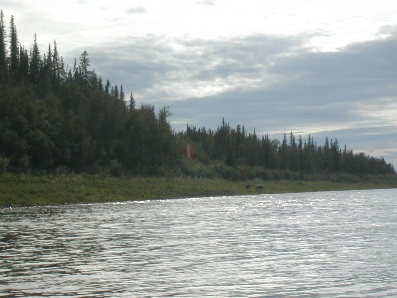
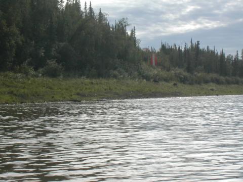
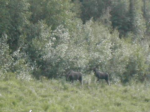
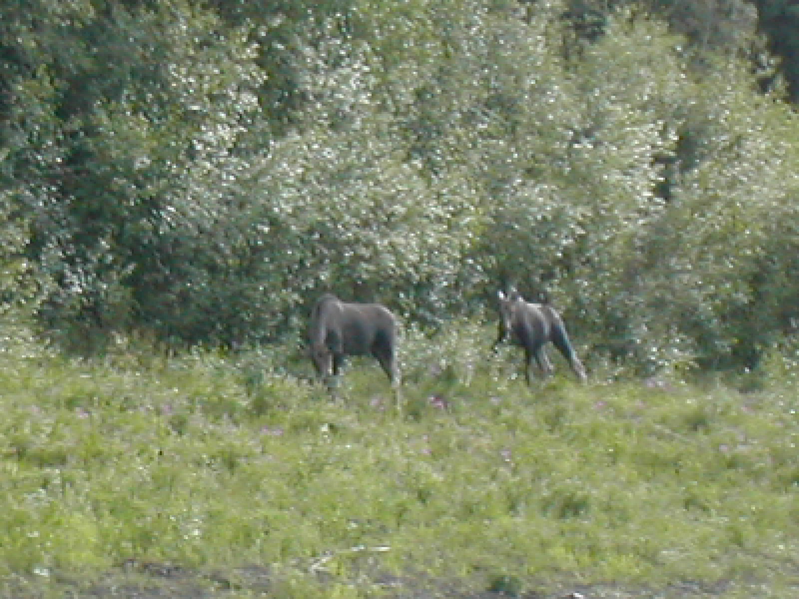
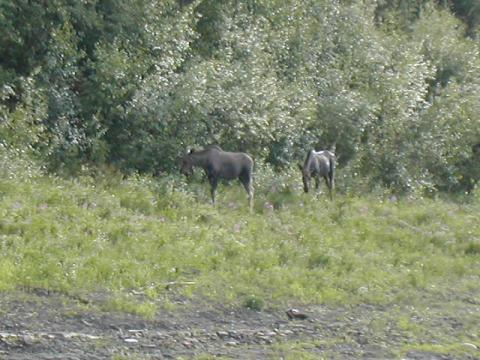
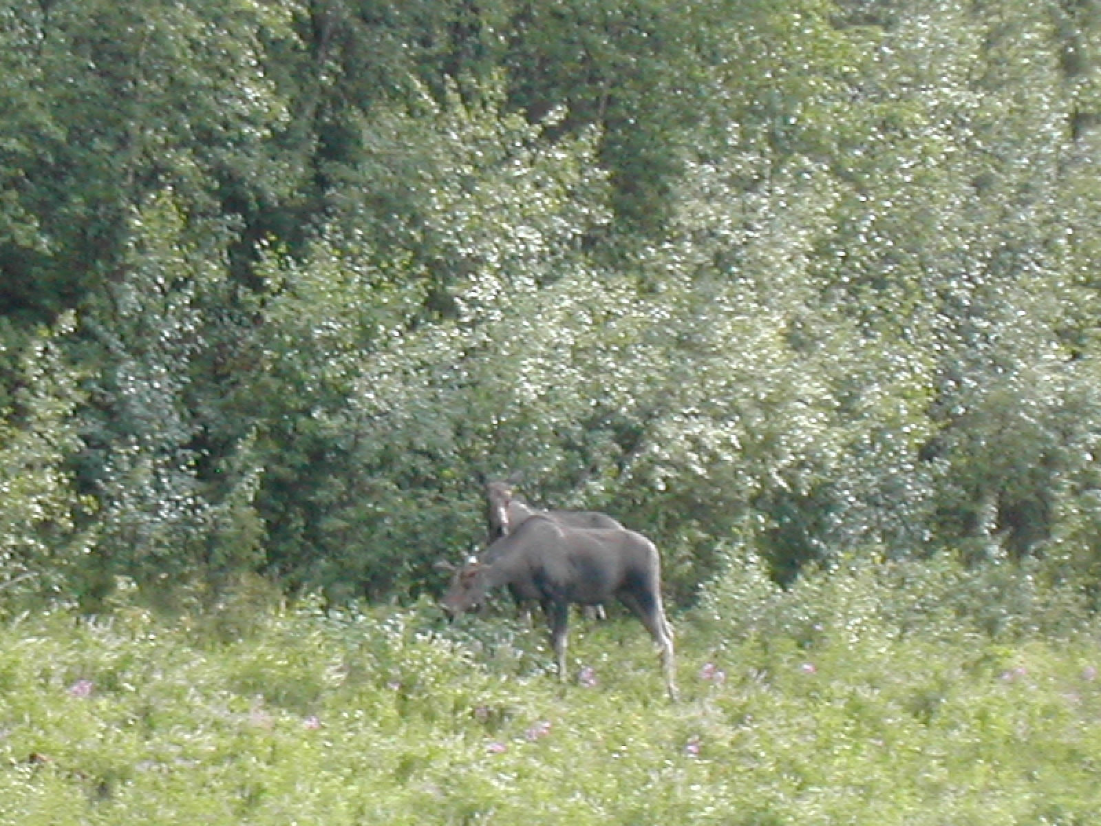
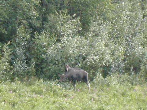
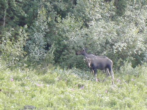
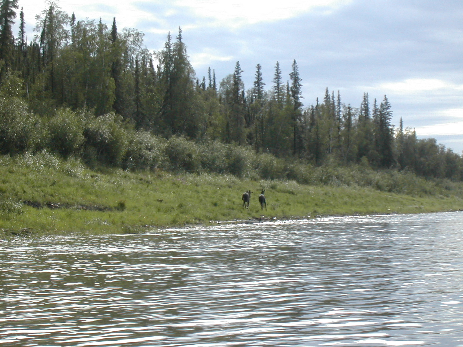
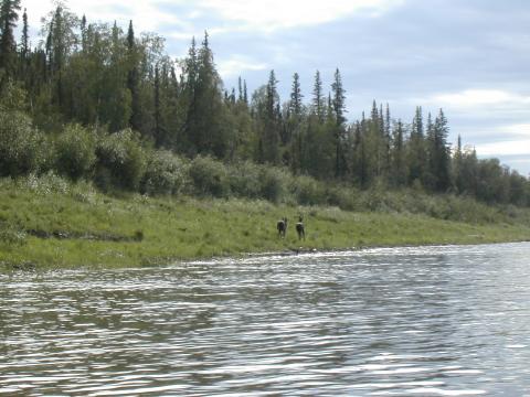
| 1185858033.jpg | 1185858033-pv.jpg | Moose near the river | mrd |
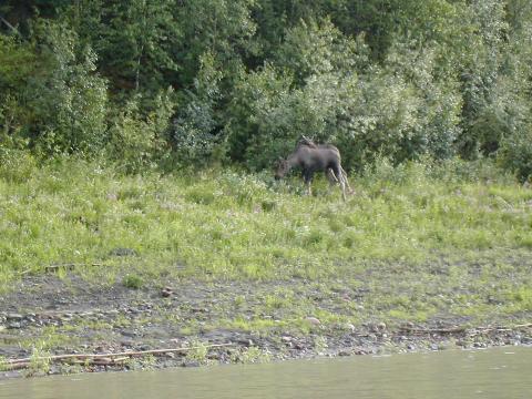
| 1185858051.jpg | 1185858051-pv.jpg | Moose near the river | mrd |
| 1185858073.jpg | 1185858073-pv.jpg | Moose near the river | mrd |
| 1185858120.jpg | 1185858120-pv.jpg | Moose near the river | mrd |
| 1185858148.jpg | 1185858148-pv.jpg | Moose near the river | mrd |
| 1185858174.jpg | 1185858174-pv.jpg | Moose near the river | mrd |
| 1185858251.jpg | 1185858251-pv.jpg | Moose near the river | mrd |
| 1185858283.jpg | 1185858283-pv.jpg | Moose near the river | mrd |
| 1185858308.jpg | 1185858308-pv.jpg | Moose near the river | mrd |
| 1185858337.jpg | 1185858337-pv.jpg | Moose near the river | mrd |
| 1185858375.jpg | 1185858375-pv.jpg | Moose near the river | mrd |
| 1185858418.jpg | 1185858418-pv.jpg | Moose near the river | mrd |
| 1185858477.jpg | 1185858477-pv.jpg | Moose near the river | mrd |
| 1185858617.jpg | 1185858617-pv.jpg | Moose near the river | mrd |
| 1185858652.jpg | 1185858652-pv.jpg | Moose near the river | mrd |
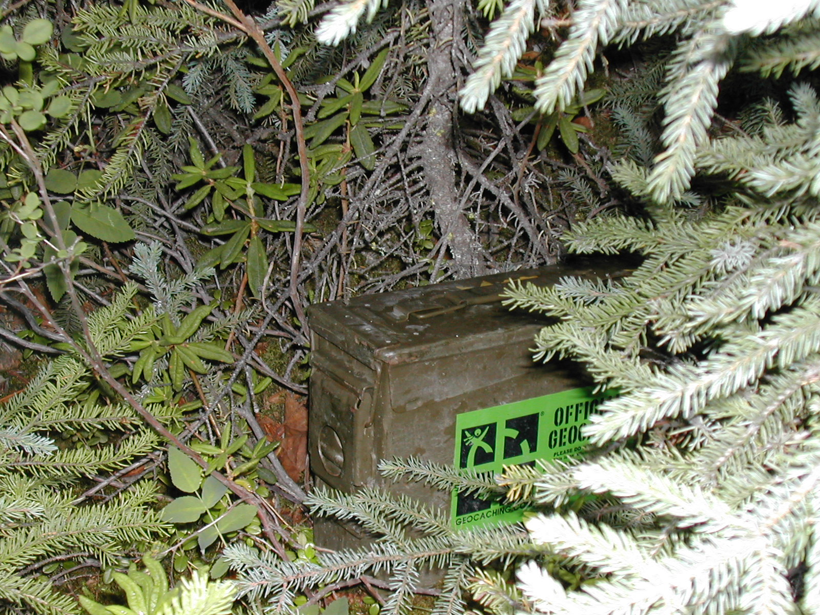
| 1185858686.jpg | 1185858686-pv.jpg | Fish prepping the geocache | mrd |
| 1185858711.jpg | 1185858711-pv.jpg | Geocache log book | mrd |
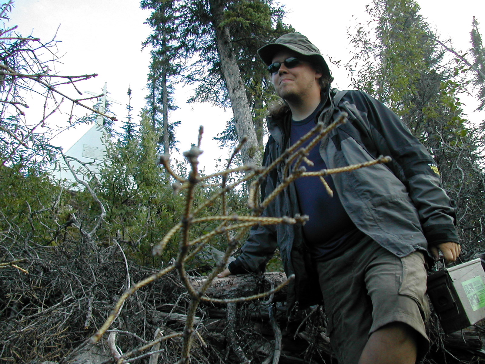
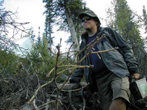
| 1185858768.jpg | 1185858768-pv.jpg | Fish looking rugged and adventurous en route to placing the geocache | mrd |
| 1185858792.jpg | 1185858792-pv.jpg | Fish looking rugged and adventurous en route to placing the geocache | mrd |
| 1185858923.jpg | 1185858923-pv.jpg | Memorial at Sans Sault Rapids | mrd |
| 1185858953.jpg | 1185858953-pv.jpg | Memorial at Sans Sault Rapids, plaque closeup | mrd |
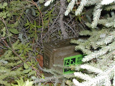
| 1185858982.jpg | 1185858982-pv.jpg | Geocached as placed behind memorial | mrd |
| 1185859000.jpg | 1185859000-pv.jpg | Memorial at Sans Sault Rapids | mrd |
| 1185859050.jpg | 1185859050-pv.jpg | Sans Sault Rapids, from the water | mrd |
| 1185859086.jpg | 1185859086-pv.jpg | Approaching the Ramparts | mrd |
| 1185859111.jpg | 1185859111-pv.jpg | Approaching the Ramparts | mrd |
| 1185859131.jpg | 1185859131-pv.jpg | Approaching the Ramparts | mrd |
| 1185859156.jpg | 1185859156-pv.jpg | Gateway to the Ramparts | mrd |
| 1185859179.jpg | 1185859179-pv.jpg | The Ramparts | mrd |
| 1185859209.jpg | 1185859209-pv.jpg | Fish paddling through the Ramparts | mrd |
| 1185859251.jpg | 1185859251-pv.jpg | Fish paddling through the Ramparts | mrd |
| 1185859275.jpg | 1185859275-pv.jpg | Fish paddling through the Ramparts | mrd |
| 1185859294.jpg | 1185859294-pv.jpg | Fish paddling through the Ramparts | mrd |
| 1185859314.jpg | 1185859314-pv.jpg | Fish paddling through the Ramparts | mrd |
| 1185859340.jpg | 1185859340-pv.jpg | Fish paddling through the Ramparts | mrd |
| 1185859362.jpg | 1185859362-pv.jpg | The Ramparts | mrd |
| 1185859377.jpg | 1185859377-pv.jpg | The Ramparts | mrd |
| 1185859561.jpg | 1185859561-pv.jpg | The Ramparts | mrd |
| 1185859585.jpg | 1185859585-pv.jpg | Fish paddling through the Ramparts | mrd |
| 1185859616.jpg | 1185859616-pv.jpg | Fish paddling through the Ramparts | mrd |
| 1185859640.jpg | 1185859640-pv.jpg | Fish paddling through the Ramparts | mrd |
| 1185859655.jpg | 1185859655-pv.jpg | The Ramparts | mrd |
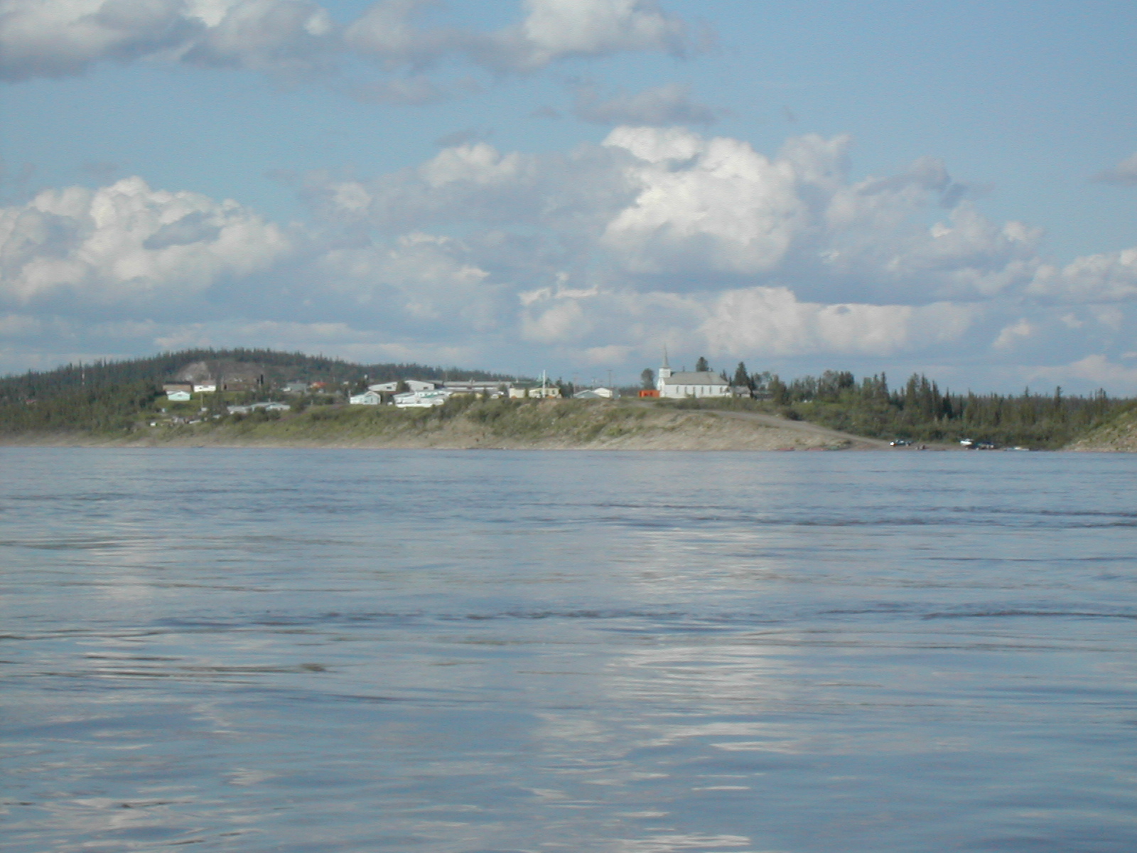
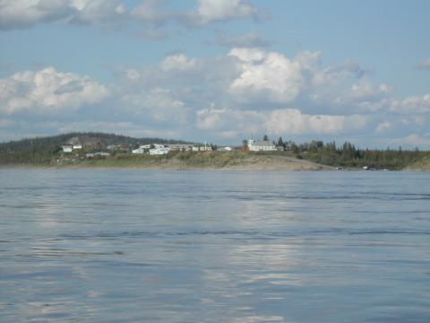
| 1185859674.jpg | 1185859674-pv.jpg | Fort Good Hope, from the river | mrd |
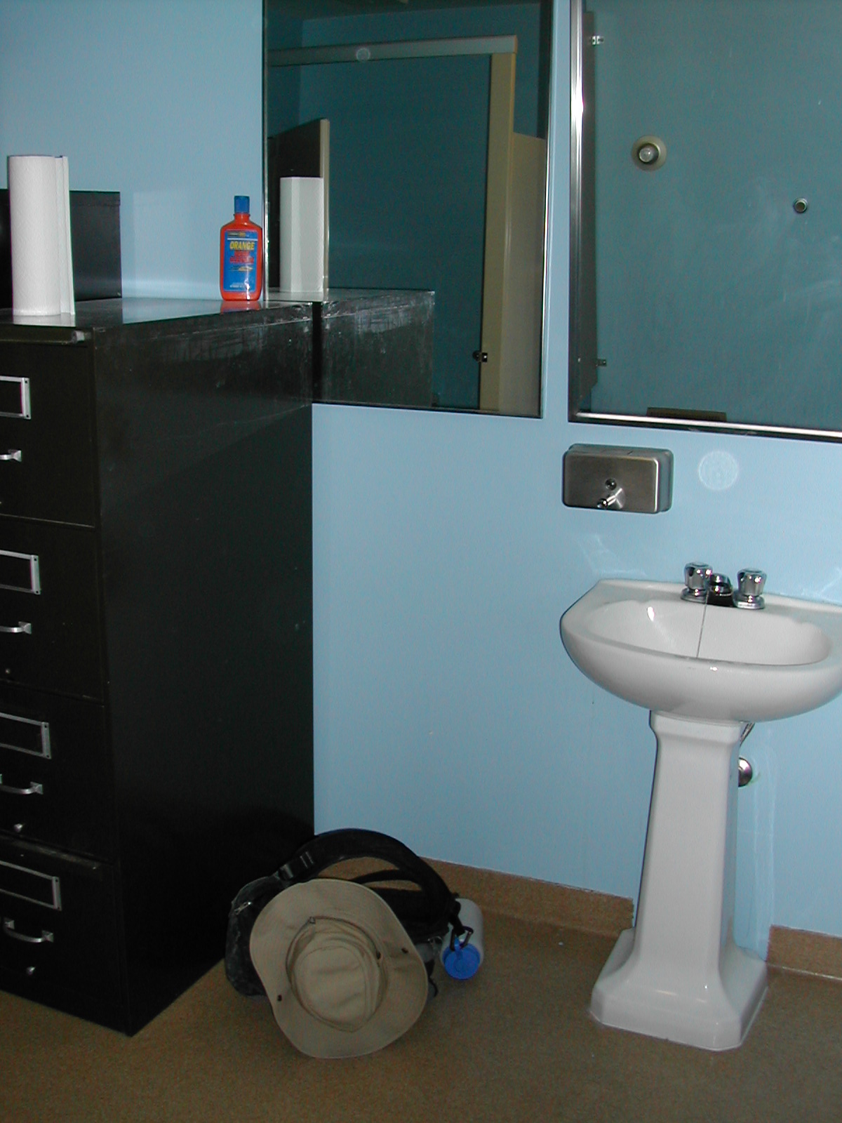
| 1185859723.jpg | 1185859723-pv.jpg | Washroom sink at the Fort Good Hope RCMP | mrd |
| 1185859738.jpg | 1185859738-pv.jpg | Washroom sink at the Fort Good Hope RCMP | mrd |
| 1185859768.jpg | 1185859768-pv.jpg | Washroom sink at the Fort Good Hope RCMP | mrd |
| 1185859789.jpg | 1185859789-pv.jpg | Washroom sink at the Fort Good Hope RCMP | mrd |
| 1185859807.jpg | 1185859807-pv.jpg | Fort Good Hope church murals | mrd |
| 1185859825.jpg | 1185859825-pv.jpg | Fort Good Hope church murals | mrd |
| 1185859841.jpg | 1185859841-pv.jpg | Fort Good Hope church murals | mrd |
| 1185859854.jpg | 1185859854-pv.jpg | Fort Good Hope church murals | mrd |
| 1185859888.jpg | 1185859888-pv.jpg | Fort Good Hope church murals | mrd |
| 1185859913.jpg | 1185859913-pv.jpg | Fort Good Hope church murals | mrd |
| 1185859933.jpg | 1185859933-pv.jpg | Fort Good Hope church | mrd |
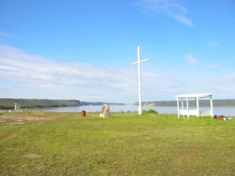
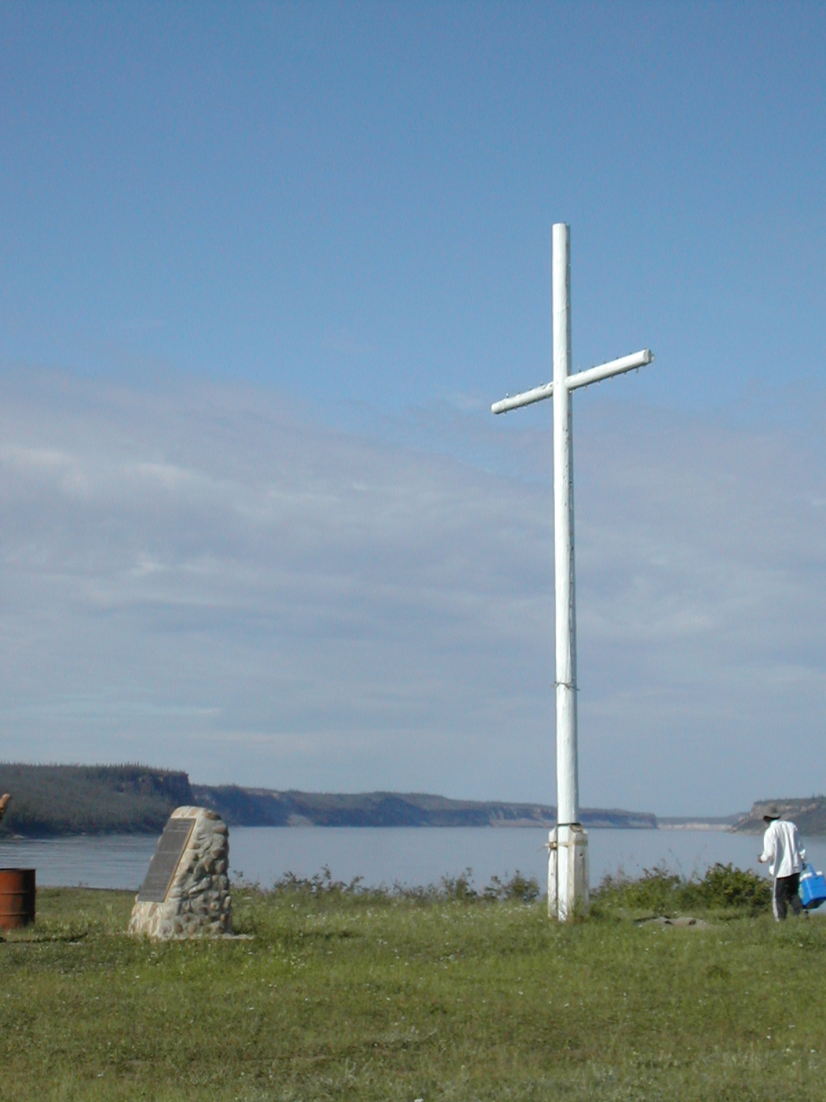
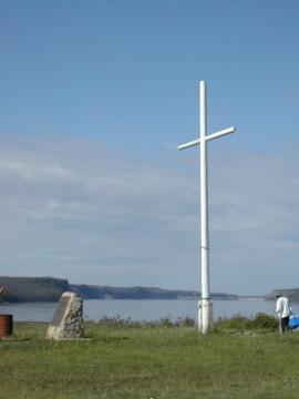
| 1185859959.jpg | 1185859959-pv.jpg | Fort Good Hope cross and monument plaque | mrd |
| 1185859993.jpg | 1185859993-pv.jpg | Stick marking the arctic circle | mrd |
| 1185860086.jpg | 1185860086-pv.jpg | Shoreline | mrd |
| 1185860121.jpg | 1185860121-pv.jpg | Shoreline | mrd |
| 1185860149.jpg | 1185860149-pv.jpg | Shoreline and river | mrd |
| 1185860171.jpg | 1185860171-pv.jpg | Water | mrd |
| 1185860187.jpg | 1185860187-pv.jpg | Water | mrd |
| 1185860215.jpg | 1185860215-pv.jpg | Fish filtering water in the rear of the canoe | mrd |
| 1185860251.jpg | 1185860251-pv.jpg | Shoreline and river | mrd |
| 1185860286.jpg | 1185860286-pv.jpg | Flooded canoe the morning after torrential rains | mrd |
| 1185860309.jpg | 1185860309-pv.jpg | Flooded canoe the morning after torrential rains | mrd |
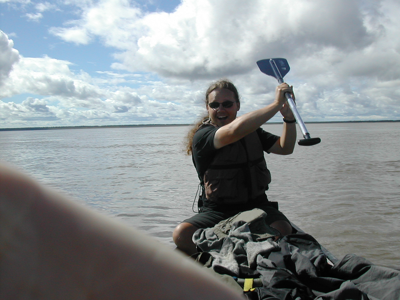
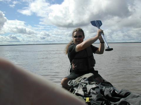
| 1185860341.jpg | 1185860341-pv.jpg | Fish doing lightsaber moves with his paddle | mrd |
| 1185860365.jpg | 1185860365-pv.jpg | Fish doing lightsaber moves with his paddle | mrd |
| 1185860390.jpg | 1185860390-pv.jpg | Beginning of the East Channel | mrd |
| 1185860407.jpg | 1185860407-pv.jpg | Beginning of the East Channelq | mrd |
| 1185860478.jpg | 1185860478-pv.jpg | Fish shielding his eyes from the sun with a sock. Items visible drying on deck after torrential rains the day before. | mrd |
| 1185860510.jpg | 1185860510-pv.jpg | Rainbow behind tent on the arctic tern beach | mrd |
| 1185860527.jpg | 1185860527-pv.jpg | Rainbow behind tent on the arctic tern beach | mrd |
| 1185860545.jpg | 1185860545-pv.jpg | Rainbow behind tent on the arctic tern beach | mrd |
| 1185860561.jpg | 1185860561-pv.jpg | Rainbow behind tent on the arctic tern beach | mrd |
| 1185860582.jpg | 1185860582-pv.jpg | Cooking gear setup | mrd |
| 1185860601.jpg | 1185860601-pv.jpg | Rainbow behind tent on the arctic tern beach | mrd |
| 1185860635.jpg | 1185860635-pv.jpg | Arctic tern beach | mrd |
| 1185860658.jpg | 1185860658-pv.jpg | Rainbow from arctic tern beach | mrd |
| 1185860677.jpg | 1185860677-pv.jpg | Rainbow from arctic tern beach | mrd |
| 1185860693.jpg | 1185860693-pv.jpg | Rainbow behind tent and Fish on the arctic tern beach | mrd |
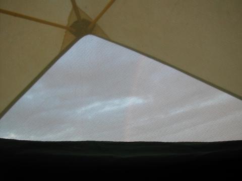
| 1185860737.jpg | 1185860737-pv.jpg | Rainbow from inside tent | mrd |
| 1185860766.jpg | 1185860766-pv.jpg | Rainbow from inside tent | mrd |
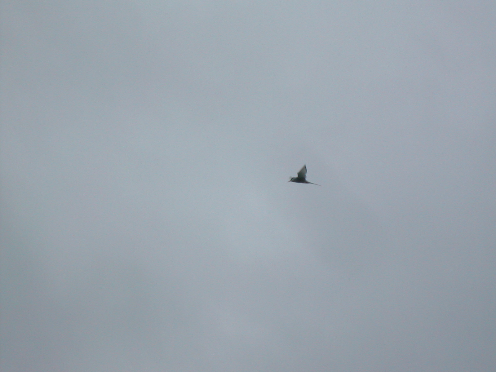
| 1185860782.jpg | 1185860782-pv.jpg | Arctic tern | mrd |
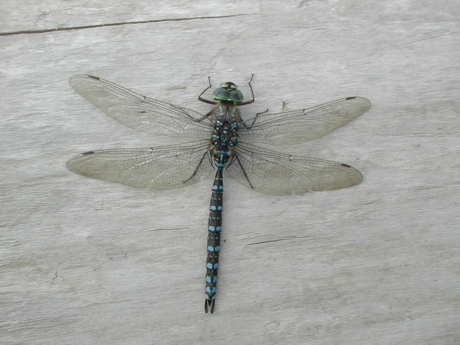
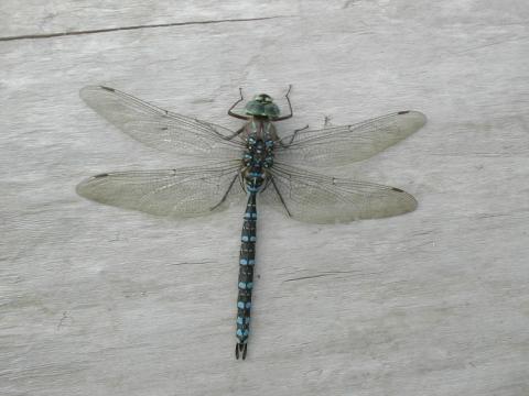
| 1185860816.jpg | 1185860816-pv.jpg | Dragonfly at confluence landing | mrd |
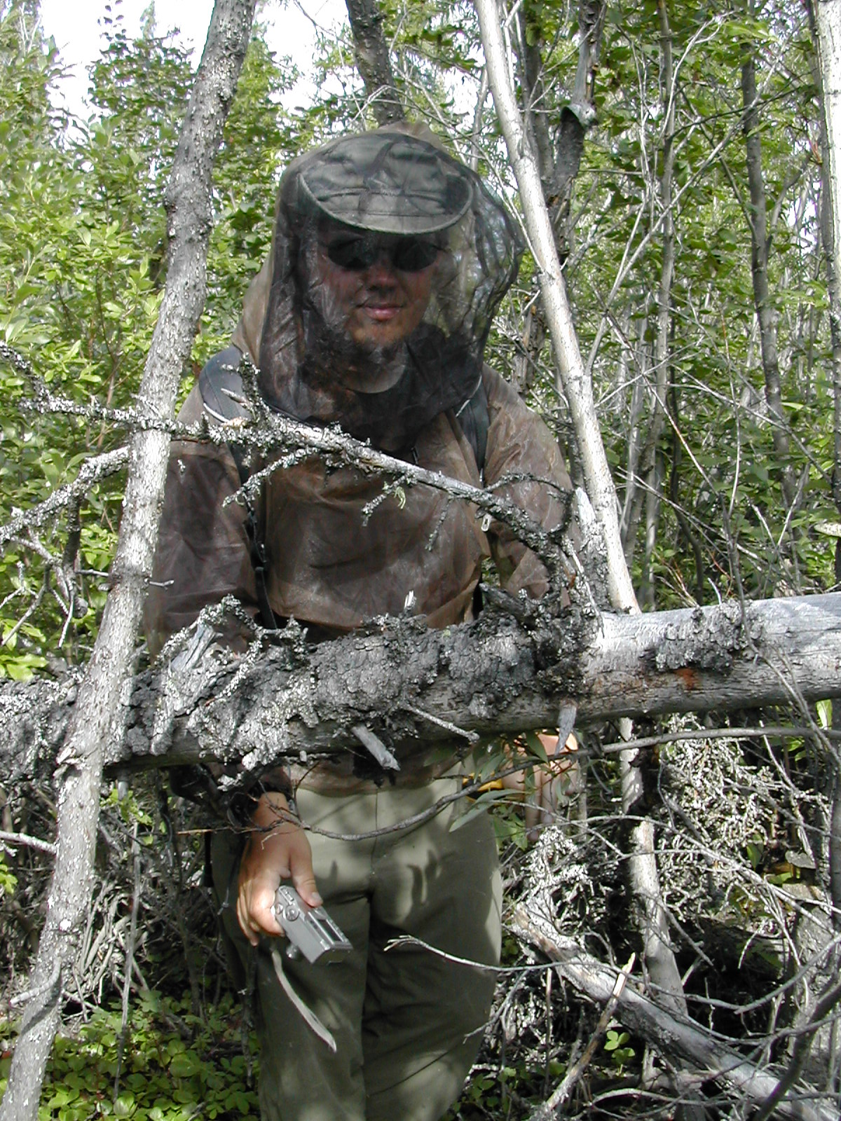
| 1185860852.jpg | 1185860852-pv.jpg | Fish, fully netted, at the confluence | mrd |
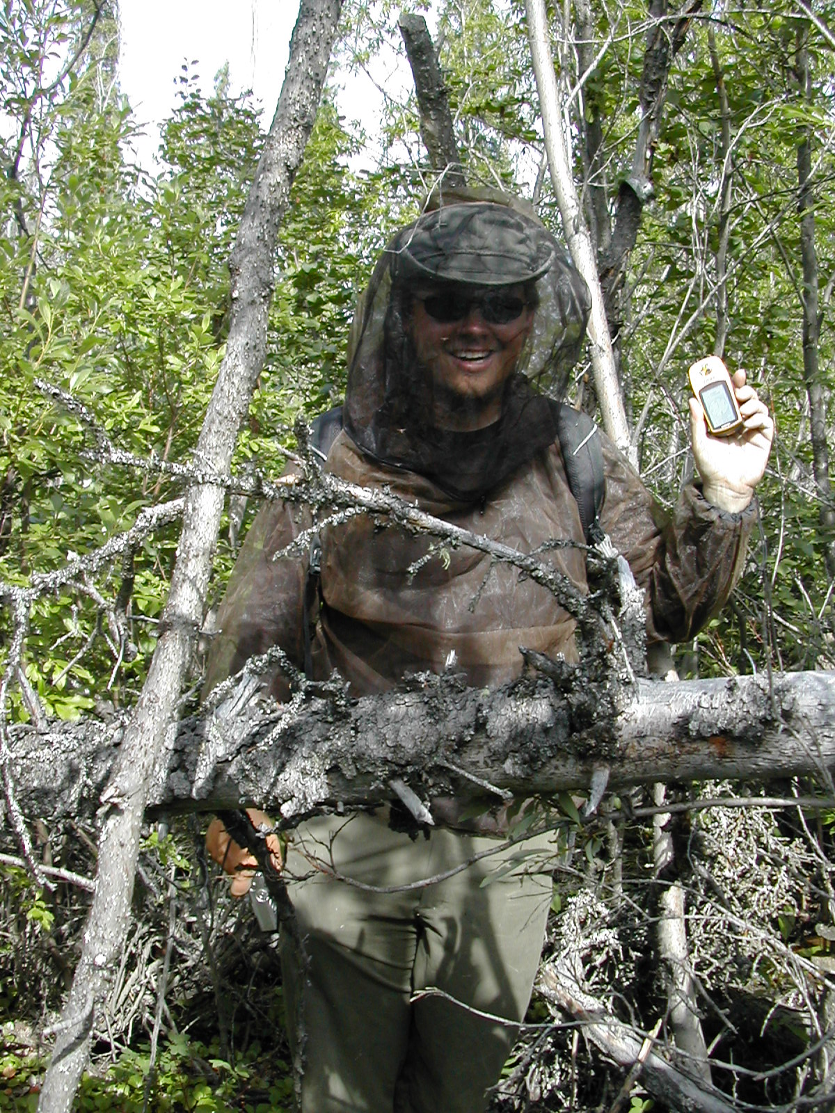
| 1185860887.jpg | 1185860887-pv.jpg | Fish, fully netted, holding up GPS at the confluence | mrd |
| 1185860928.jpg | 1185860928-pv.jpg | Mosquitos on Ari's leg on confluence trek | mrd |
| 1185860957.jpg | 1185860957-pv.jpg | Mosquitos on Fish's legs on confluence trek | mrd |
| 1185861110.jpg | 1185861110-pv.jpg | Delta shoreline | mrd |
| 1185861138.jpg | 1185861138-pv.jpg | Mothballed ship approaching Inuvik | mrd |
| 1185861168.jpg | 1185861168-pv.jpg | Inuvik from the water | mrd |
| 1185861183.jpg | 1185861183-pv.jpg | Inuvik from the water | mrd |
| 1185861202.jpg | 1185861202-pv.jpg | Inuvik powerplant from the water | mrd |
| 1185861216.jpg | 1185861216-pv.jpg | Inuvik from the water | mrd |
| 1185861244.jpg | 1185861244-pv.jpg | Fish in the rear of the canoe, and the end of the trip | mrd |
| 1185861307.jpg | 1185861307-pv.jpg | Canadian Coast Guard vessel Nahidik | mrd |
| 1185861344.jpg | 1185861344-pv.jpg | Iglu church behind MacKenzie Hotel inukshuk in Inuvik | mrd |
| 1185861362.jpg | 1185861362-pv.jpg | Iglu church behind MacKenzie Hotel inukshuk in Inuvik | mrd |
| 1185861385.jpg | 1185861385-pv.jpg | Stained glass at Inuvik art show | mrd |
| 1185861402.jpg | 1185861402-pv.jpg | Inuvik art show | mrd |
| 1186045055.png | Pathfinder on the barge, with zoomed inset | mrd | |
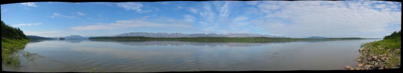
| 1202852624.jpg | 1202852624-pv.jpg | Stitched panorama of day 9 campsite | mrd |
This index is created automatically from the Erato image indexing system.